The best running trails in Carnegie State Vehicular Recreation Area
8
runners
If you've ever tried to plan jogging in Carnegie State Vehicular Recreation Area, you know how overwhelming the options can be. With so many trails, it's tough to tell which ones are genuinely worth your time and effort, and which are just filler. We get it – you want to hit the ground running, not spend hours sifting through maps. That's where we come in. Our komoot community has explored, mapped, and reviewed these routes, so this guide is your…
Last updated: June 8, 2026
2
runners
20.0km
03:10
1,150m
1,150m
If you're seeking a serious challenge for your next jog, the Ohlone Wilderness Trail delivers a difficult 12.4-mile (20.0 km) route through diverse East Bay landscapes. You'll navigate rolling hills,…
7.51km
00:56
180m
180m
The East Shore and Ridgeline Trail Loop offers a dynamic jogging experience, transitioning from tranquil lakeside paths to elevated ridge-top panoramas. You'll enjoy serene views of Lake Del Valle along…

Sign up for free
6
runners
5.98km
00:44
60m
60m
Moderate run. Good fitness required. Mostly paved surfaces. Suitable for all skill levels.
6
runners
8.41km
00:53
20m
20m
Moderate run. Good fitness required. Mostly paved surfaces. Suitable for all skill levels.
Our route recommendations are based on thousands of hikes, rides, and runs completed by other people on komoot.
Start today with a free account
Your next adventure awaits.
Login or Signup
Popular around Carnegie State Vehicular Recreation Area
Tips from the Community

The trail to Murietta Falls is a very challenging run, with a lot of elevation gain, but it is worth it for the wonderful scenery and beautiful falls at the end. The amount of water in the falls will vary depending on the amount of rain there has been.
0
0

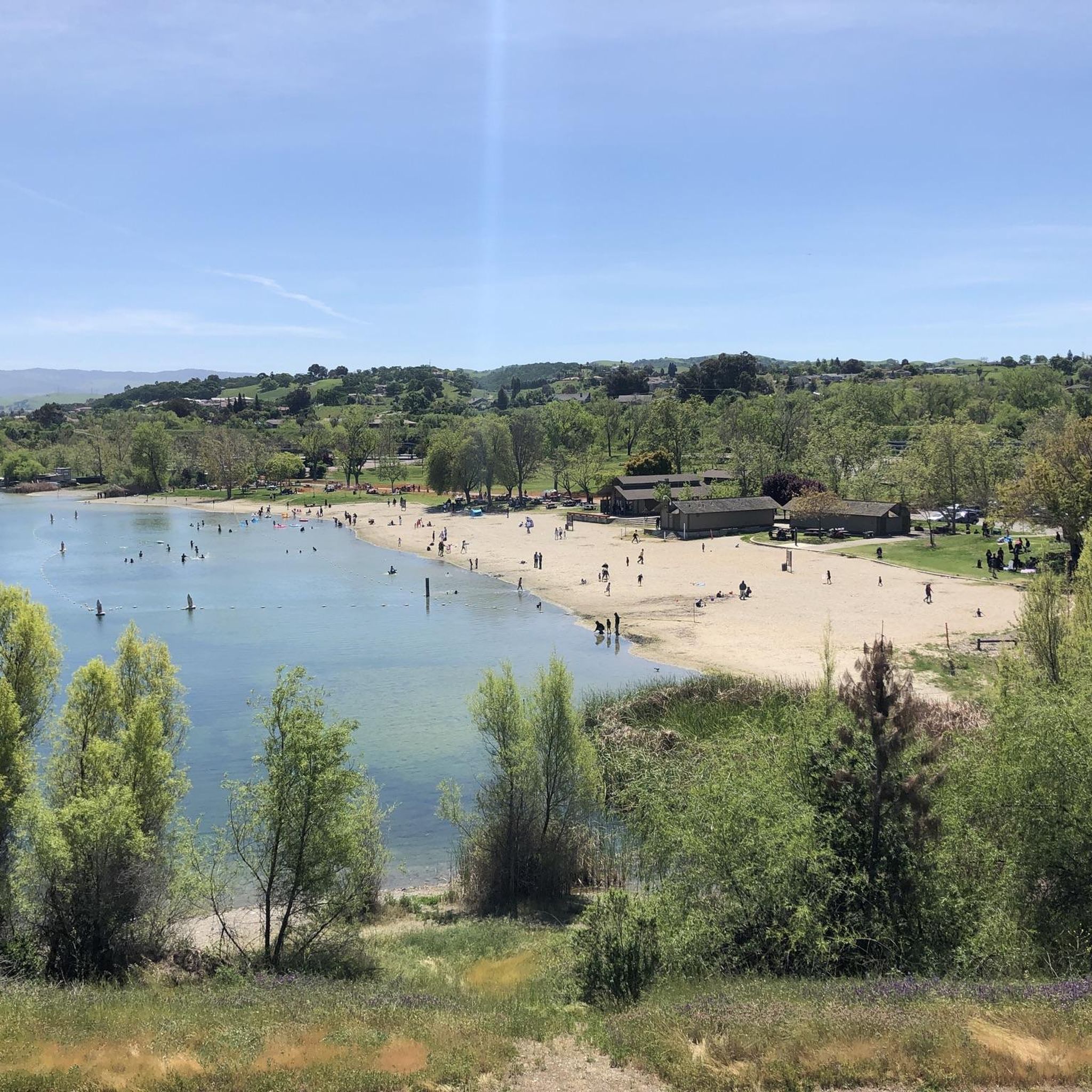
A well-marked and well-maintained trail, where you can spot wildlife and have scenic views of Lake Del Valle. There is little shade on the Ridgeline Trail loop, so it is recommended to do it in early spring, autumn, and winter seasons. The park charges a fee of $6.
0
0
La Costa Creek flows down the rock wall forming a beautiful waterfall. The falls are a refreshing spot to finish the long hike through the Ohlone Trail, offering beautiful scenery. The best time to hike to there is early spring, after rainy days, to see the green diverse flora and the wildflowers blooming.
0
0

Badger Cove is a small bay on Lake Del Valle. The East Shore Trail is one of the highlights of Del Valle State Recreation Area, and it offers views of the cove from between the trees. The Ridgeline Trail is another path on the property that offers great views of the cove and lake from a higher vantage point.
0
0
Badger Cove is a small bay on Lake Del Valle. The East Shore Trail is one of the highlights of Del Valle State Recreation Area, and it offers views of the cove from between the trees. The Ridgeline Trail is another path on the property that offers great views of the cove and lake from a higher vantage point.
0
0
Frequently Asked Questions
Is Carnegie State Vehicular Recreation Area (SVRA) suitable for jogging?
Carnegie SVRA is primarily designated for off-highway vehicle (OHV) recreation. While it offers scenic landscapes, the trails are designed for motorized vehicles, which can pose safety concerns for pedestrians. Joggers should be aware that they will be sharing trails with OHVs, and the terrain can be challenging and rugged.
Are there any dedicated running trails in Carnegie SVRA?
The trails within Carnegie SVRA are predominantly configured for off-highway vehicles. There are currently no dedicated non-motorized running trails. Any jogging would occur on shared trails, which are designed for OHV use and can be technical with sharp turns, hill climbs, and rocky terrain.
What kind of terrain can I expect on running routes in Carnegie SVRA?
The terrain in Carnegie SVRA is characterized by rolling hills, dry rocky washes, and steep, rugged canyons. Elevations range from 650 to 1,750 feet above sea level. This diverse landscape, while scenic, is primarily designed for motorized vehicles, making it challenging for running.
Are dogs allowed on the trails in Carnegie SVRA?
No, dogs, other than service animals, are prohibited on all motorized trails within Carnegie SVRA. This policy further indicates that these areas are not intended for general pedestrian use with pets.
What are some of the longer running routes available?
One of the longer routes is the Ohlone Wilderness Trail, which spans 12.4 miles (19.98 km). This route is considered difficult due to significant elevation gain through varied terrain.
Are there any moderate running options in the area?
Yes, there are a few moderate options. The East Shore and Ridgeline Trail Loop is 4.7 miles (7.51 km) with a moderate elevation profile. Another is the Badger Cove – Badger Cove loop from Del Valle Regional Park, which is 4.8 miles (7.72 km) and also moderate.
What is the best time of year to visit Carnegie SVRA for outdoor activities?
Spring is often recommended for its natural beauty, as wildflowers like California poppies bloom. However, regardless of the season, it's crucial to remember the park's primary use for OHVs. Conditions can vary, and trails may be dusty in dry seasons or muddy after rain, impacting visibility and safety for runners.
Are there any scenic viewpoints or natural attractions along the routes?
The area offers scenic vistas, especially from higher elevations, with views of rolling hills and diverse plant life like blue oak and grey pine. Wildlife such as raptors, black-tailed deer, and coyotes can also be observed. However, specific viewpoints are not designated for pedestrian access, and the focus remains on OHV recreation.
Is parking available for visitors?
Yes, Carnegie SVRA provides parking facilities for visitors. Given its primary function as an OHV park, parking areas are typically designed to accommodate vehicles, including those transporting OHVs. For specific details, you can consult the official park information on the California State Parks website.
What should I know about permits or fees for entering Carnegie SVRA?
Carnegie SVRA is a State Vehicular Recreation Area, and entry typically requires a day-use fee or a valid California State Parks Pass. It's advisable to check the official Carnegie SVRA website for the most current information on fees and any specific permit requirements before your visit.
What kind of wildlife might I encounter while running?
The park is home to diverse wildlife, including raptors, black-tailed deer, coyotes, feral pigs, wild turkeys, bobcats, and badgers. While these animals contribute to the natural beauty, it's important to maintain a respectful distance and be aware of your surroundings, especially given the shared nature of the trails.
Are there any loop running trails in Carnegie SVRA?
Yes, some of the routes are designed as loops. For example, the East Shore and Ridgeline Trail Loop and the Badger Cove – Badger Cove loop from Del Valle Regional Park both offer circular paths.
Most popular routes in Carnegie State Vehicular Recreation Area

Get inspired with the komoot mobile app


Explore more
Browse the best Running Trails & Routes in other regions.
