Rio De Los Angeles State Park State Recreational Area
Rio De Los Angeles State Park State Recreational Area
The best cycling routes in Rio De Los Angeles State Park State Recreational Area
4.5
(168)
2,312
riders
132
rides
Touring cycling in Rio De Los Angeles State Park State Recreational Area offers routes along the Los Angeles River, connecting urban landscapes with restored river wetlands. The park's terrain includes a mix of paved and unpaved surfaces, primarily flat along the river, with some routes extending into surrounding areas that may feature gentle inclines. This area provides an ecological setting within the city, blending recreational facilities with native habitats.
Best touring cycling routes in Rio De Los Angeles State Park…
Last updated: September 2, 2026

5.0
(1)
3
riders
45.1km
03:14
870m
870m
Hard bike ride. Very good fitness required. Mostly paved surfaces. Suitable for all skill levels.
5.0
(2)
41
riders
17.8km
01:02
70m
70m
Easy bike ride. Great for any fitness level. Mostly paved surfaces. Suitable for all skill levels.

Sign up for free
5.0
(1)
19
riders
14.4km
00:51
50m
50m
Easy bike ride. Great for any fitness level. Mostly paved surfaces. Suitable for all skill levels.
15
riders
19.3km
01:25
330m
330m
Moderate bike ride. Good fitness required. Mostly paved surfaces. Suitable for all skill levels.
5.0
(1)
16
riders
6.95km
00:25
20m
20m
Easy bike ride. Great for any fitness level. Mostly paved surfaces. Suitable for all skill levels.
Get access to more routes and recommendations from other explorers.
Sign up for free
Already have an account?
Our route recommendations are based on thousands of hikes, rides, and runs completed by other people on komoot.
Start today with a free account
Your next adventure awaits.
Login or Signup
Popular around Rio De Los Angeles State Park State Recreational Area
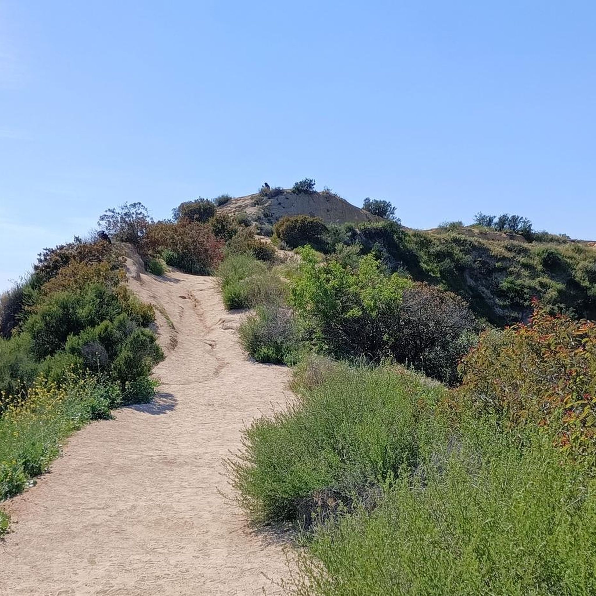
Hiking in Rio De Los Angeles State Park State Recreational Area
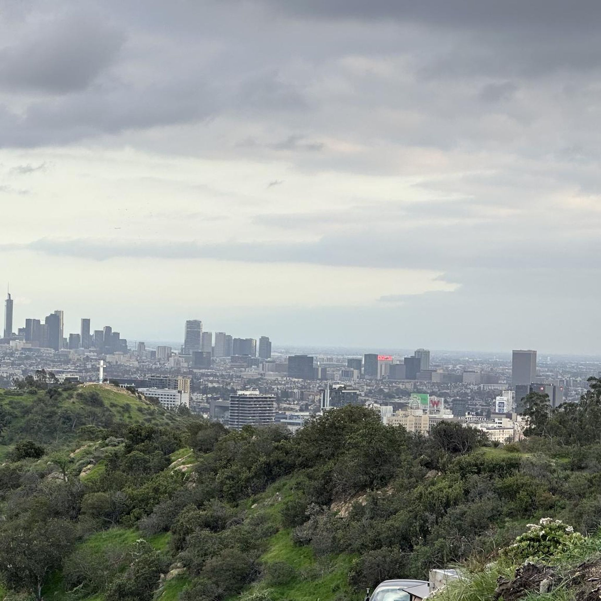
Road Cycling Routes in Rio De Los Angeles State Park State Recreational Area

Running Trails in Rio De Los Angeles State Park State Recreational Area
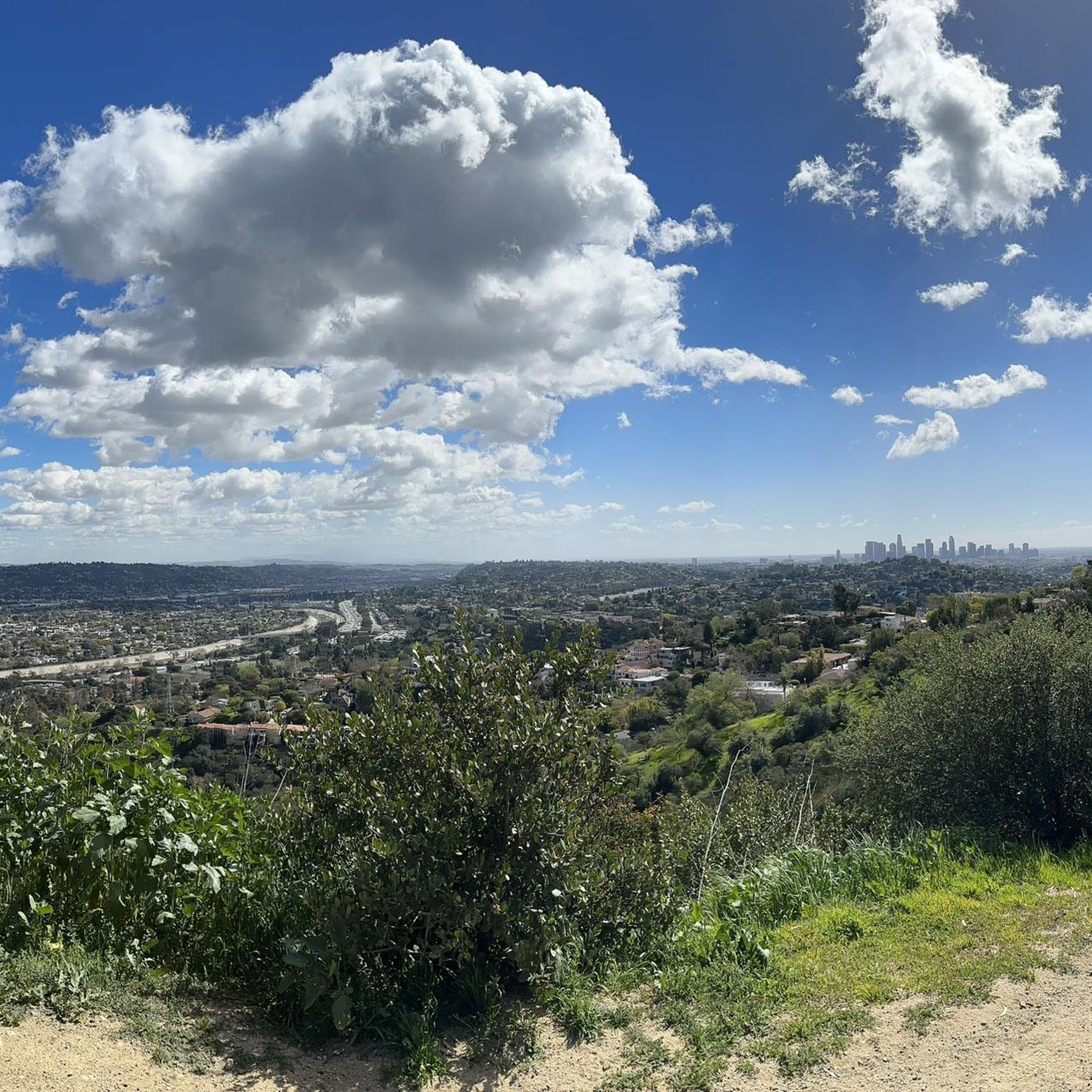
MTB Trails in Rio De Los Angeles State Park State Recreational Area

Gravel biking in Rio De Los Angeles State Park State Recreational Area
Tips from the Community

The Sunnynook Pedestrian Bridge, also known as the Atwater Village Love Lock Bridge, is one of the older pedestrian bridges in the city. It's known locally as a spot to leave a lock proclaiming your everlasting love.
0
0

Angel’s Point is a short, easy hike in Elysian Park with one of the best views of L.A.—you can see the skyline, Dodger Stadium, and even the Hollywood sign on a clear day. There’s a sculpture at the top, which makes it a fun spot to explore, especially at sunset.
0
0

Eagle Rock is a prominent rock feature that towers over a neighborhood of the same name. If you are here at the right time you will be able to see how the rock got its name, as the shadows created by an overhang appear in the shape of a soaring eagle.
0
0

This trail currently runs about 38 miles in several disconnected segments; there are plans to eventually unify it in a continuous, 50-mile swath. There are stretches of dirt mixed in with the paved trail, so you're best off with a touring bike instead of a road bike.
1
0

The Los Angeles River Trail, also known as the Los Angeles River Bike Path, stretches 38.28 miles from Owensmouth Avenue in Canoga Park to 401 Golden Shore in Long Beach. The trail features a mix of asphalt, concrete, and dirt surfaces. Open in several disconnected segments along the Los Angeles River, it is open to biking, inline skating, and walking, offering a scenic trail through the urbanized landscape of Los Angeles.
1
0
The Alex Baum Bicycle Bridge, a 680-foot span, crosses the Los Angeles River at Los Feliz Boulevard. Local officials and cyclists celebrated its dedication, honoring Alexandre Baum, who founded and chaired the Los Angeles Bicycle Advisory Committee.
0
0

Bright red bridge for bikes and pedestrians to get across to the Taylor train yard.
0
0
This is a tunnel that goes under the Colorado Street Freeway Extension. It's quite dark inside, but short. A good opportunity to sing - ole ole ole ole! ole! ole!
0
0
Frequently Asked Questions
How many touring cycling routes are available in Rio De Los Angeles State Park State Recreational Area?
There are over 120 touring cycling routes available in Rio De Los Angeles State Park State Recreational Area, catering to various skill levels and preferences.
What is the difficulty level of touring cycling routes in Rio De Los Angeles State Park State Recreational Area?
The routes offer a mix of difficulties. You'll find 36 easy routes, 49 moderate routes, and 36 difficult routes. For example, the San Rafael Hills Loop is a challenging option with significant elevation gain, while the Red Car Bridge – Sunnynook Pedestrian Bridge loop from Dayton Avenue is an easy, riverside path.
Are there family-friendly touring cycling routes in Rio De Los Angeles State Park State Recreational Area?
Yes, the park offers several easy routes suitable for families. Paths along the Los Angeles River Trail, such as the Red Car Bridge – Sunnynook Pedestrian Bridge loop from Dayton Avenue, are mostly flat and paved, making them ideal for a relaxed family outing.
Are there circular touring cycling routes available in Rio De Los Angeles State Park State Recreational Area?
Yes, many routes in the area are designed as loops. Examples include the popular San Rafael Hills Loop and the shorter Baum Bicycle Bridge – Baum Bicycle Bridge loop from Public Storage, which follows the Los Angeles River corridor.
What kind of scenery can I expect while touring cycling in Rio De Los Angeles State Park State Recreational Area?
You can expect a unique blend of urban and natural landscapes. The park features restored natural river wetlands with native plants and diverse bird species, offering a serene escape. Many routes connect to the Los Angeles River Trail, providing scenic views along the river, often with a mix of asphalt, concrete, and dirt surfaces.
What is the best time of year to go touring cycling in Rio De Los Angeles State Park State Recreational Area?
The Los Angeles area generally enjoys mild weather year-round, making touring cycling pleasant in most seasons. Spring and fall offer particularly comfortable temperatures, while summer can be warm but still enjoyable, especially in the mornings or late afternoons. Winter is typically mild and suitable for cycling.
Where can I park when visiting Rio De Los Angeles State Park State Recreational Area for touring cycling?
The park itself offers parking facilities. Additionally, its direct connection to the Los Angeles River Trail means you can often find parking at various access points along the trail, depending on your starting preference.
Is Rio De Los Angeles State Park State Recreational Area accessible by public transport for cyclists?
Yes, the park's urban location and connection to the Los Angeles River Trail make it accessible without driving. Pedestrian and bike bridges have improved access, allowing cyclists to connect to the park and other parts of the city via public transport options that accommodate bikes.
Are there places to eat or drink near the touring cycling routes?
As an urban park, Rio De Los Angeles State Park State Recreational Area is surrounded by residential and commercial areas. You'll find various cafes, restaurants, and pubs within a short cycling distance from the park and along the Los Angeles River Trail.
Can I bring my dog on touring cycling routes in Rio De Los Angeles State Park State Recreational Area?
While the park is generally dog-friendly, it's important to keep dogs on a leash and adhere to park regulations, especially in restored wetland areas to protect wildlife. Always check specific trail rules before heading out with your pet.
What do other touring cyclists say about their experience in Rio De Los Angeles State Park State Recreational Area?
The touring cycling routes in Rio De Los Angeles State Park State Recreational Area are highly rated by the komoot community, with an average score of 4.7 stars from over 120 reviews. Cyclists often praise the unique blend of natural restoration within an urban setting and the accessibility of the Los Angeles River Trail.
Are there challenging touring cycling routes for experienced cyclists?
Yes, for experienced cyclists seeking a challenge, routes like the San Rafael Hills Loop offer significant elevation gain over its 28 miles, providing a demanding ride with rewarding views.
Are there easy touring cycling routes suitable for beginners?
Absolutely. Beginners can enjoy several easy routes, particularly those that follow the Los Angeles River. The Red Car Bridge – Sunnynook Pedestrian Bridge loop from Dayton Avenue is a great option, offering a gentle 7-mile ride along the river.
Most popular routes in Rio De Los Angeles State Park State Recreational Area

Get inspired with the komoot mobile app


Explore more
Browse the best Cycling routes in other regions.
