Rio De Los Angeles State Park State Recreational Area
Rio De Los Angeles State Park State Recreational Area
The best road cycling routes in Rio De Los Angeles State Park State Recreational Area
4.7
(103)
3,860
riders
132
rides
If you've ever tried to plan road cycling in Rio De Los Angeles State Park State Recreational Area, you know how many routes pop up online. It can feel overwhelming, trying to figure out which ones are genuinely worth your time and effort, and which are just filler. That's exactly why we put this guide together. Our komoot community has mapped, ridden, and reviewed countless routes here, so we've done the legwork to bring you a curated shortlist of the…
Last updated: June 8, 2026
4.9
(28)
89
riders
Easy road ride. Great for any fitness level. Mostly well-paved surfaces and easy to ride.
4.5
(2)
56
riders
25.3km
01:25
270m
270m
Easy road ride. Great for any fitness level. Mostly well-paved surfaces and easy to ride.

Sign up for free
16
riders
Moderate road ride. Good fitness required. Some segments of this route may be unpaved and difficult to ride.
11
riders
12.5km
00:44
210m
210m
Easy road ride. Great for any fitness level. Mostly well-paved surfaces and easy to ride.
24
riders
71.1km
03:43
870m
870m
Moderate road ride. Good fitness required. Some segments of this route may be unpaved and difficult to ride.
Get access to more routes and recommendations from other explorers.
Sign up for free
Already have an account?
Our route recommendations are based on thousands of hikes, rides, and runs completed by other people on komoot.
Start today with a free account
Your next adventure awaits.
Login or Signup
Popular around Rio De Los Angeles State Park State Recreational Area
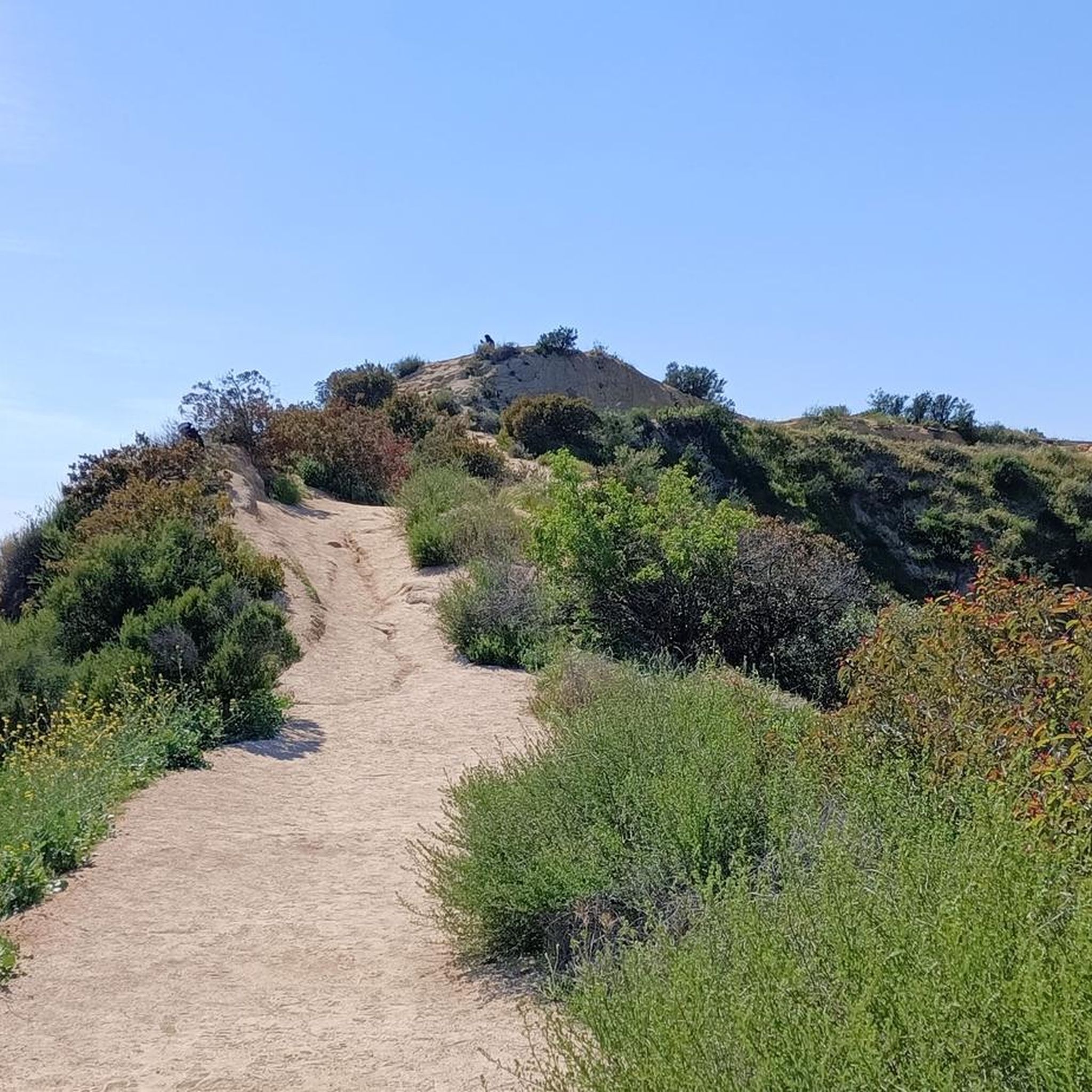
Hiking in Rio De Los Angeles State Park State Recreational Area
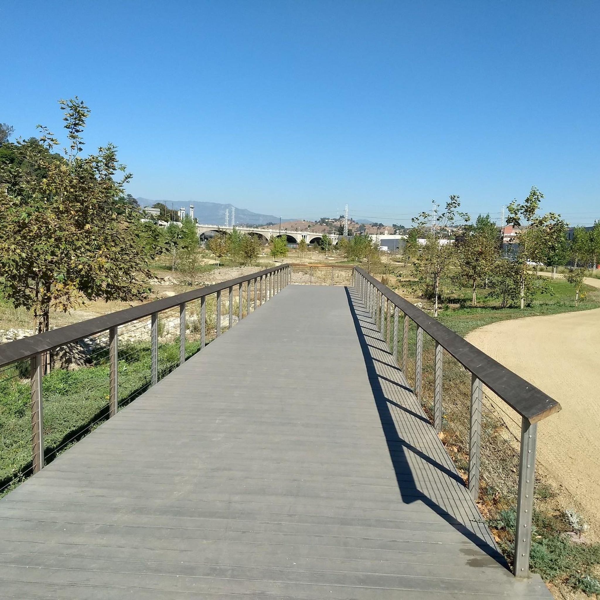
Cycling in Rio De Los Angeles State Park State Recreational Area

Running Trails in Rio De Los Angeles State Park State Recreational Area
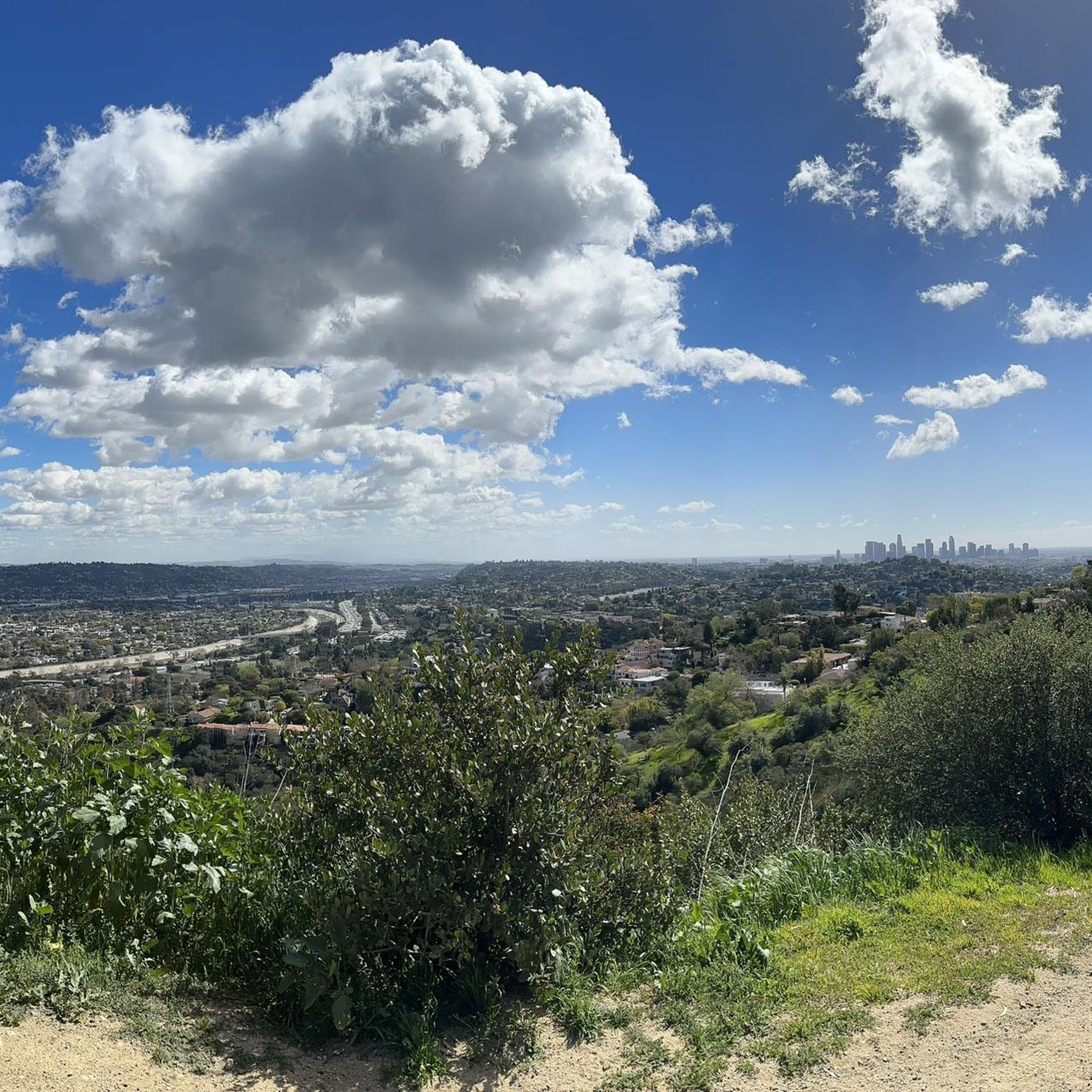
MTB Trails in Rio De Los Angeles State Park State Recreational Area

Gravel biking in Rio De Los Angeles State Park State Recreational Area
Tips from the Community

The Sunnynook Pedestrian Bridge, also known as the Atwater Village Love Lock Bridge, is one of the older pedestrian bridges in the city. It's known locally as a spot to leave a lock proclaiming your everlasting love.
0
0

This picturesque reservoir with palm trees and a gravel trail looping around it's edges looks inviting, but it is closed to the public. Since the 90s, environmental regulations have kept this area closed for visitors, so you will just have a passing view of it though the bars as you ride past.
0
0

This trail currently runs about 38 miles in several disconnected segments; there are plans to eventually unify it in a continuous, 50-mile swath. There are stretches of dirt mixed in with the paved trail, so you're best off with a touring bike instead of a road bike.
0
0

The Baum Bicycle Bridge is named in honor of Alex Baum, who was a tireless advocate for cycling infrastructure around Los Angeles. LA cyclists owe him a debt of gratitude for much of the gains that have been made in the city.
1
0

North Atwater Bridge, also known as La Kretz Bridge or La Kretz Crossing, is a 325-foot-long cable-stayed pedestrian bridge stretching over the Los Angeles River. It connects Griffith Park to Atwater Village, just south of North Atwater Park. Originally designed to provide horseback riders from Atwater Village safe access to Griffith Park’s extensive riding trails, the bridge eliminates the need to cross Los Feliz Boulevard or the often slippery concrete-bottomed L.A. River.
0
0
The Los Angeles River Trail, also known as the Los Angeles River Bike Path, stretches 38.28 miles from Owensmouth Avenue in Canoga Park to 401 Golden Shore in Long Beach. The trail features a mix of asphalt, concrete, and dirt surfaces. Open in several disconnected segments along the Los Angeles River, it is open to biking, inline skating, and walking, offering a scenic trail through the urbanized landscape of Los Angeles.
1
0

This overlook has a very short walk to the viewing area and has stunning views and in particular of the San Gabriel Mountains. A great viewing area and worth to spend some time at.
0
0
Mulholland Drive and the Mulholland Scenic Overlook are among the most recognizable locations for an LA road trip. Mulholland Drive was named after the famous Los Angeles civil engineer William Mulholland. The drive offers the city’s most stunning view of the LA skyline. This particular overlook has appeared in numerous Blockbuster films, including City of Angels (1998), NightCrawler (2014), and the 2001 film Mulholland Drive.
0
0
Frequently Asked Questions
How many road cycling routes are available in Rio De Los Angeles State Park State Recreational Area?
There are over 130 road cycling routes available in Rio De Los Angeles State Park State Recreational Area, catering to various skill levels and preferences. These routes explore urban green spaces, river corridors, and offer access to surrounding hills.
Are there easy road cycling routes suitable for beginners or families?
Yes, Rio De Los Angeles State Park State Recreational Area offers numerous easy routes. For a pleasant, relatively flat ride, consider the Red Car Bridge – Baum Bicycle Bridge loop from Lincoln/Cypress, which is 8.0 miles long. Another excellent option is the Red Car Bridge – Baum Bicycle Bridge loop from Dodger Stadium, an easy 10.5-mile path with scenic views.
What are some challenging road cycling routes for experienced riders?
Experienced riders looking for a challenge will find routes with significant elevation gain. The Muholland Drive – Melhorn Overlook loop from Lincoln/Cypress is a demanding 54.6-mile route with varied terrain. Another difficult option is the Clear Creek Vista loop from Heritage Square, spanning 40.6 miles with substantial climbing.
Are there loop routes for road cycling in the area?
Yes, many road cycling routes in Rio De Los Angeles State Park State Recreational Area are designed as loops. Popular examples include the Red Car Bridge – Baum Bicycle Bridge loop from Lincoln/Cypress and the Elysian Park – Elysian Park loop from Dodger Stadium, which offers a 7.8-mile ride through the park.
What is the typical duration for road cycling routes in Rio De Los Angeles State Park State Recreational Area?
Route durations vary significantly based on distance and difficulty. Easy routes like the 8.0-mile Red Car Bridge – Baum Bicycle Bridge loop from Lincoln/Cypress can take around 38 minutes. More challenging routes, such as the 54.6-mile Muholland Drive – Melhorn Overlook loop from Lincoln/Cypress, typically require about 4 hours and 34 minutes to complete.
What do other road cyclists enjoy most about the routes here?
The area is highly rated by the komoot community, with an average score of 4.7 stars from over 275 reviews. Reviewers often praise the diverse landscape, which combines urban greenways and river paths with challenging climbs into surrounding hills, offering something for every ability level.
Are there good viewpoints along the road cycling routes?
Many routes offer scenic views, especially those that ascend into higher elevations or follow river corridors. While specific named viewpoints are not detailed for every route, the varied terrain ensures picturesque stretches, particularly on routes like the Red Car Bridge – Baum Bicycle Bridge loop from Dodger Stadium which provides scenic river views.
What is the best time of year for road biking in Rio De Los Angeles State Park State Recreational Area?
Given its location in Los Angeles County, road cycling is generally enjoyable year-round. However, spring and fall offer the most pleasant temperatures. Summers can be hot, making early morning or late afternoon rides preferable, while winters are typically mild and suitable for cycling.
Is parking available for road cyclists visiting the park?
As an urban state park, various parking options are typically available in and around Rio De Los Angeles State Park State Recreational Area, including street parking and designated lots. It's advisable to check specific starting points for routes, such as those originating from Lincoln/Cypress or Dodger Stadium, for the most convenient parking access.
Can I find cafes or places to refuel near the road cycling trails?
Due to the park's urban setting within Los Angeles, there are numerous cafes, restaurants, and convenience stores in the surrounding neighborhoods. Cyclists can easily find places to refuel before, during, or after their rides, especially near popular starting points or along routes that pass through commercial areas.
What kind of wildlife might I encounter while road biking?
While road cycling primarily takes place on paved paths, the park's urban green spaces and river corridors can offer glimpses of local wildlife. You might spot various bird species, squirrels, and other small urban animals. The Los Angeles River itself is a habitat for diverse birdlife.
Most popular routes in Rio De Los Angeles State Park State Recreational Area

Get inspired with the komoot mobile app


Explore more
Browse the best Road cycling routes in other regions.
