The best MTB trails in Upper Las Virgenes Open Space Preserve
4.6
(32)
825
riders
89
rides
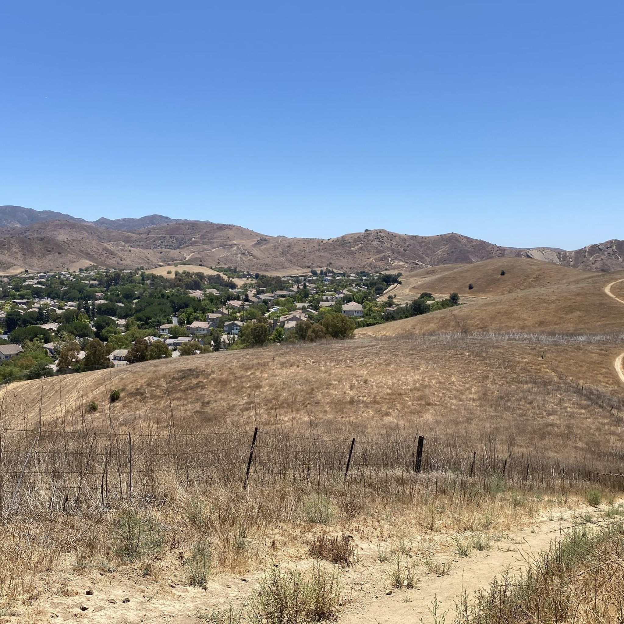
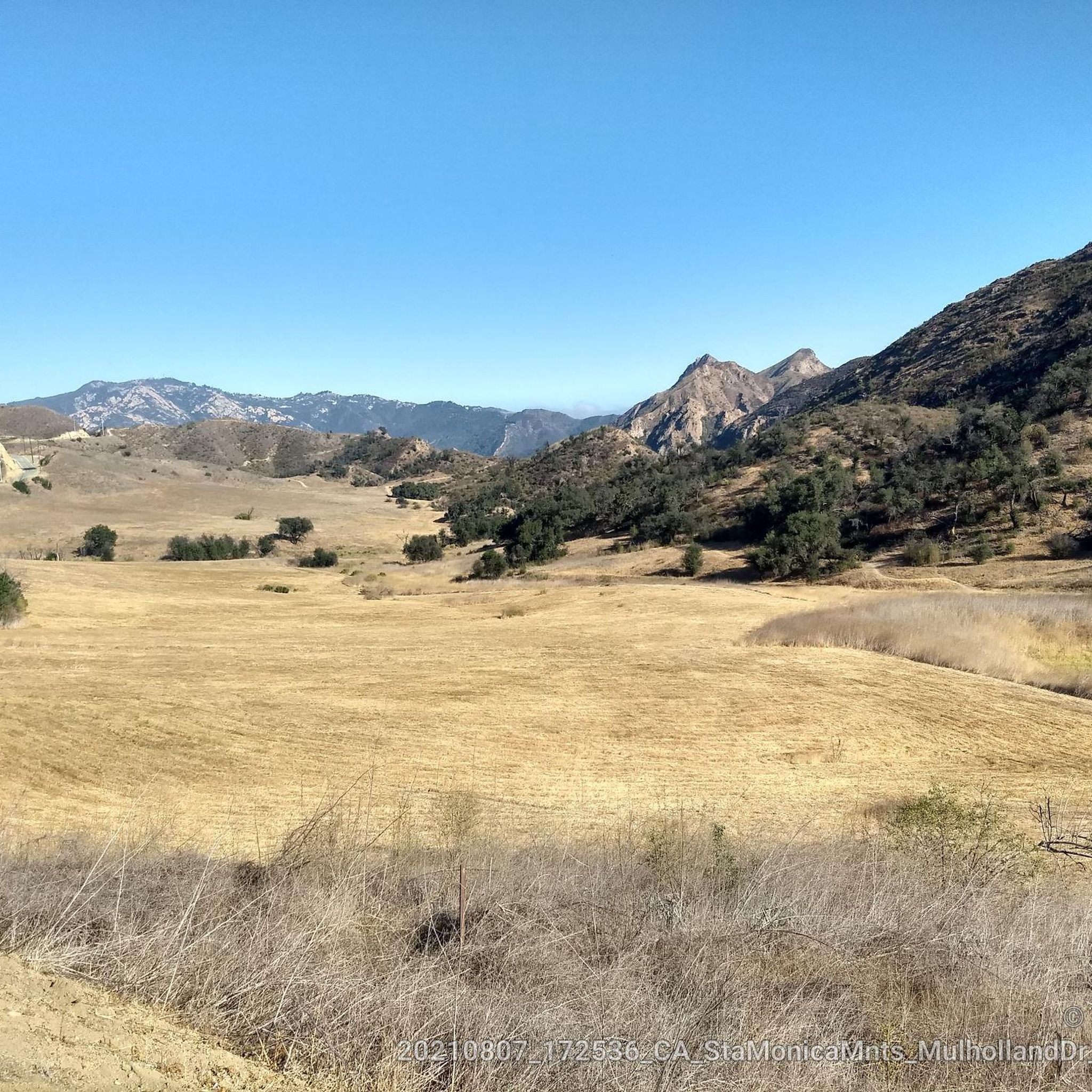
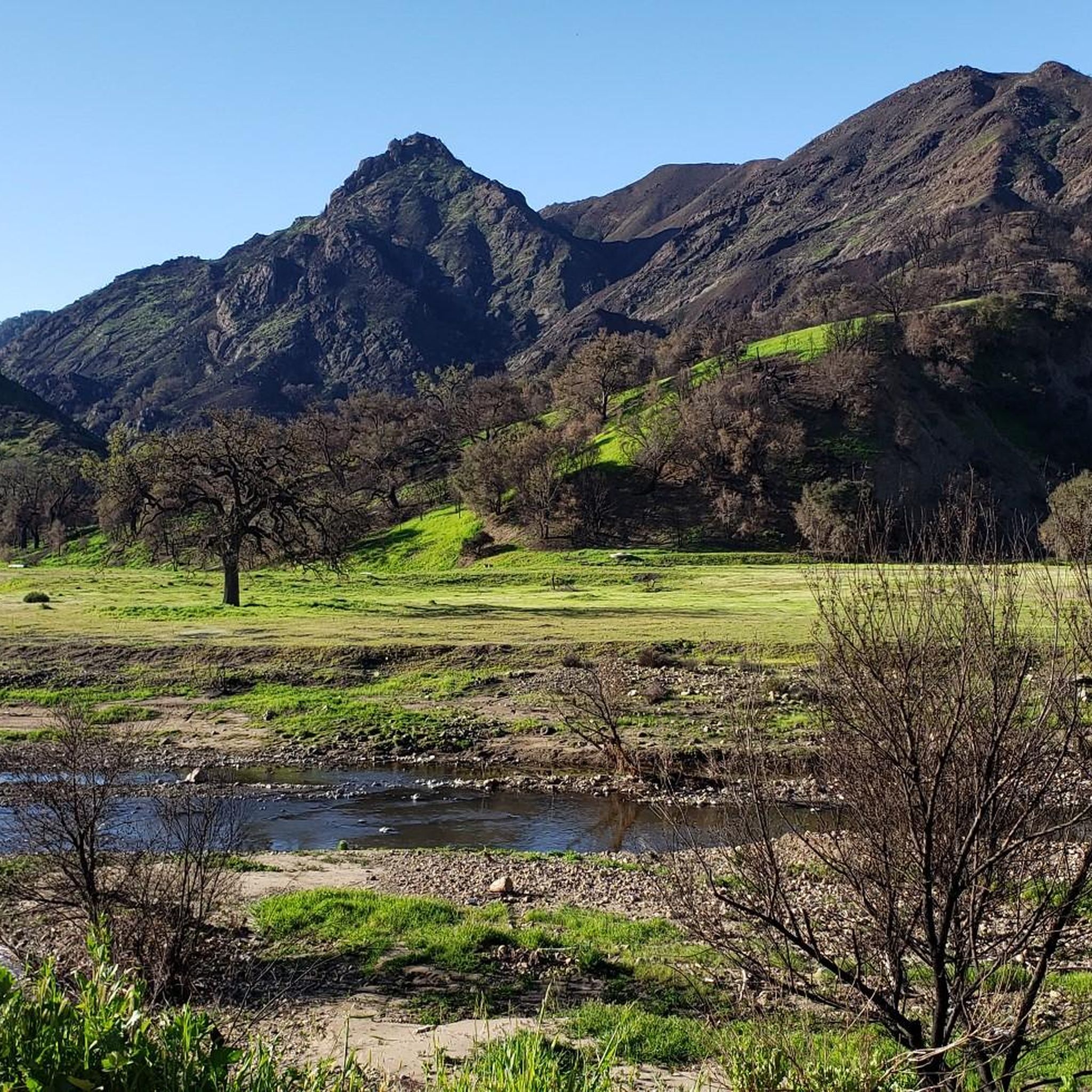
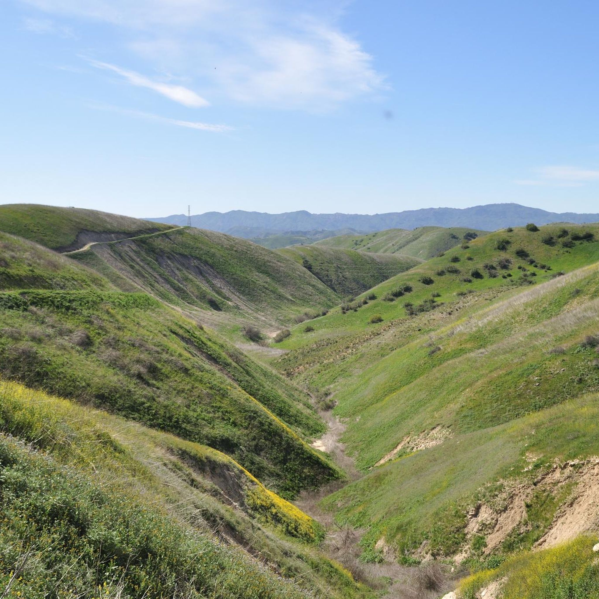
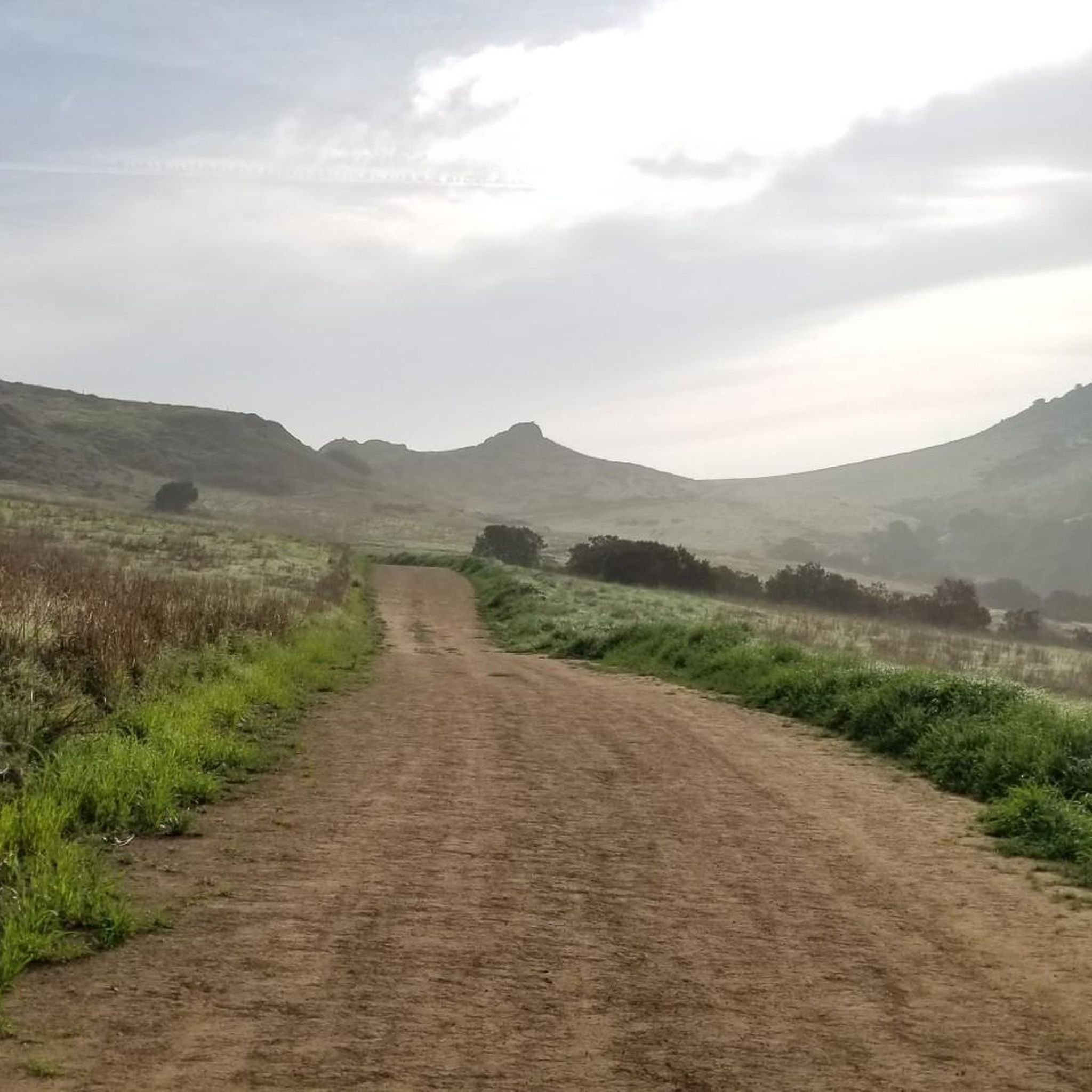
Mountain biking in Upper Las Virgenes Open Space Preserve offers a network of trails through rolling hills, canyons, and open grasslands. The preserve is characterized by its diverse topography, including creek beds and elevated viewpoints. Riders can expect varied terrain, from wide fire roads to singletrack paths, with elevations that provide both gentle climbs and more challenging ascents. This area provides a natural setting for mountain biking, with routes that traverse the landscape of Ventura County.
Best mountain bike trails…
Last updated: October 4, 2026
7
riders
Easy mountain bike ride. Great for any fitness level. Suitable for all skill levels.
5
riders
Easy mountain bike ride. Great for any fitness level. Suitable for all skill levels.

18
riders
29.6km
02:46
560m
560m
Moderate mountain bike ride. Good fitness required. Suitable for all skill levels.
14
riders
13.2km
01:19
270m
270m
Easy mountain bike ride. Great for any fitness level. Suitable for all skill levels.
5
riders
Moderate mountain bike ride. Good fitness required. Suitable for all skill levels.
Get access to more routes and recommendations from other explorers.
Already have an account?
Our route recommendations are based on thousands of hikes, rides, and runs completed by other people on komoot.
Start today with a free account
Your next adventure awaits.
Popular around Upper Las Virgenes Open Space Preserve
Tips from the Community

Multiple different types of trails from hiking to biking to climbing. Water and snacks are needed. Most trails connect back to the entrance
0
0

At the end of Victory Blvd is a parking spot (USD 3 per car). From here you can choose wide trails and small paths throughout a hilly landscape. From top of the hills you can enjoy the view.
0
0

The Mary Weisbrock Loop Trail is a wide, smooth, and short path within the Upper Las Virgenes Open Space Preserve. The trail connects to a bunch of other paths on the property and opens up numerous loop and route options for your ride.
0
0

El Escorpion Park is a 3-acre park in the Simi Hills. The park is most known for the rock formation called Escorpion Peak, also known as Castle Peak. It has an elevation of 1,475 feet and can be seen from most of the park.
0
0

This scenic loop trail takes you around Lasky Mesa and offers breathtaking views of the Santa Monica Mountains, San Fernando Valley, and Las Virgenes Canyon. You can access the loop through multiple routes, including Crummer Ranch Road, Lasky Mesa Trail, or Ahmanson Ranch House Trail, allowing you to choose the perfect route for a short jog or an extended run.
0
0

This trailhead is an access point for the Upper Las Virgenes Open Space Preserve. The trail network here has some beautiful views of rolling hills and passes through diverse local habitats.
0
0

This is the end point for the Cheeseboro Canyon Trail. Now you can either head down the Sheep Corral Trail or turn right to connect to the Cheeseboro Ridge Trail that loops around back down to the Cheeseboro Canyon trailhead.
0
0
El Escorpion Park is a 3-acre park in the Simi Hills. The park is most known for the rock formation called Escorpion Peak, also known as Castle Peak. It has an elevation of 1,475 feet and can be seen from most of the park.
0
0
Frequently Asked Questions
What is the difficulty level of mountain bike trails in Upper Las Virgenes Open Space Preserve?
Upper Las Virgenes Open Space Preserve offers a range of mountain bike trails suitable for various skill levels. You'll find 11 easy routes, 66 moderate routes, and 10 difficult routes, ensuring options for beginners to experienced riders.
Are there family-friendly mountain bike trails in Upper Las Virgenes Open Space Preserve?
Yes, there are several easy routes perfect for families. The Mary Weisbrock Loop Trail – Victory Trailhead loop is an easy 3.9-mile path offering scenic views and is suitable for beginners and families.
Where can I park when visiting Upper Las Virgenes Open Space Preserve for mountain biking?
A common starting point with parking is the Victory Trailhead. This provides convenient access to many of the preserve's mountain bike routes.
What are the typical trail conditions in Upper Las Virgenes Open Space Preserve?
The preserve features varied terrain, including wide fire roads and singletrack paths. You can expect rolling hills, canyon paths, and open grasslands, with some routes traversing creek beds. Conditions can vary with recent weather, so it's always good to check local reports before heading out.
What is the best time of year to mountain bike in Upper Las Virgenes Open Space Preserve?
The Mediterranean climate of Southern California makes mountain biking enjoyable for much of the year. Spring offers lush greenery and wildflowers, while fall and winter provide cooler temperatures. Summers can be hot, so early morning or late afternoon rides are often preferred during those months.
How long do mountain bike trails typically take to complete in the preserve?
Trail durations vary significantly based on distance and difficulty. For example, the easy East Las Virgenes Canyon – Las Virgenes Creek loop is about 6.3 miles and takes approximately 1 hour, while a moderate route like the El Escorpion Park loop, at 12.1 miles with significant elevation gain, takes closer to 1 hour 54 minutes.
Are there any loop trails for mountain biking in Upper Las Virgenes Open Space Preserve?
Yes, many routes in the preserve are designed as loops. Popular options include the easy East Las Virgenes Canyon – Las Virgenes Creek loop and the moderate El Escorpion Park loop, which offers varied terrain.
What can I see along the mountain bike trails in Upper Las Virgenes Open Space Preserve?
The preserve offers scenic views of open space, rolling hills, and canyons. You'll encounter natural landscapes and can explore trails like the Albertson Motorway and the Mary Weisbrock Loop Trail, which provide diverse riding experiences within the natural environment.
What do other mountain bikers enjoy the most about mountain biking in Upper Las Virgenes Open Space Preserve?
The area is highly rated by the komoot community, with an average score of 4.7 stars from over 30 reviews. Riders often praise the diverse topography, including creek beds and elevated viewpoints, and the variety of terrain from wide fire roads to singletrack paths.
How many mountain bike trails are available in Upper Las Virgenes Open Space Preserve?
There are over 80 mountain bike trails available in Upper Las Virgenes Open Space Preserve, offering a wide range of options for different skill levels and preferences.
Are there any challenging mountain bike trails for advanced riders?
Yes, for experienced riders seeking a challenge, the preserve offers 10 difficult routes. These trails typically feature significant elevation gains and more technical sections.
Can I find long-distance mountain bike routes in the preserve?
Yes, for those looking for longer rides, routes like the Victory Trailhead – East Las Virgenes Canyon loop cover nearly 18 miles (29 km) and involve substantial elevation changes, providing a more extended adventure.
Most popular routes in Upper Las Virgenes Open Space Preserve
Most popular attractions in Upper Las Virgenes Open Space Preserve

Get inspired with the komoot mobile app


Explore more
Browse the best MTB trails in other regions.
