Michael D. Antonovich Regional Park At Joughin Ranch
Michael D. Antonovich Regional Park At Joughin Ranch
The best running trails in Michael D. Antonovich Regional Park At Joughin Ranch
4.0
(1)
185
runners
41
runs
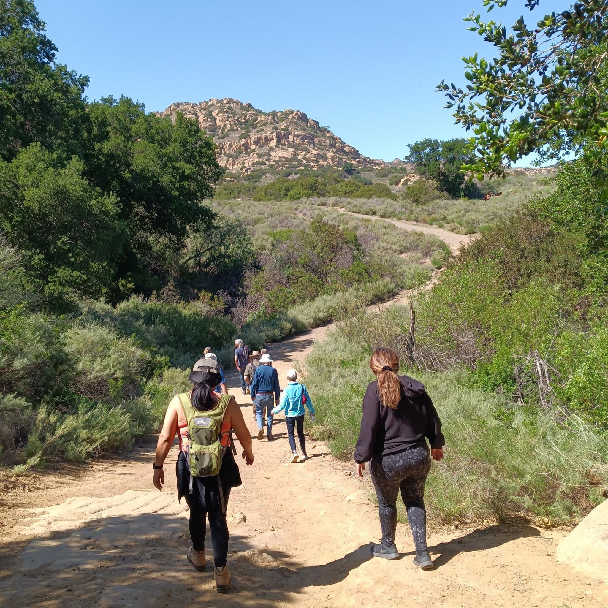
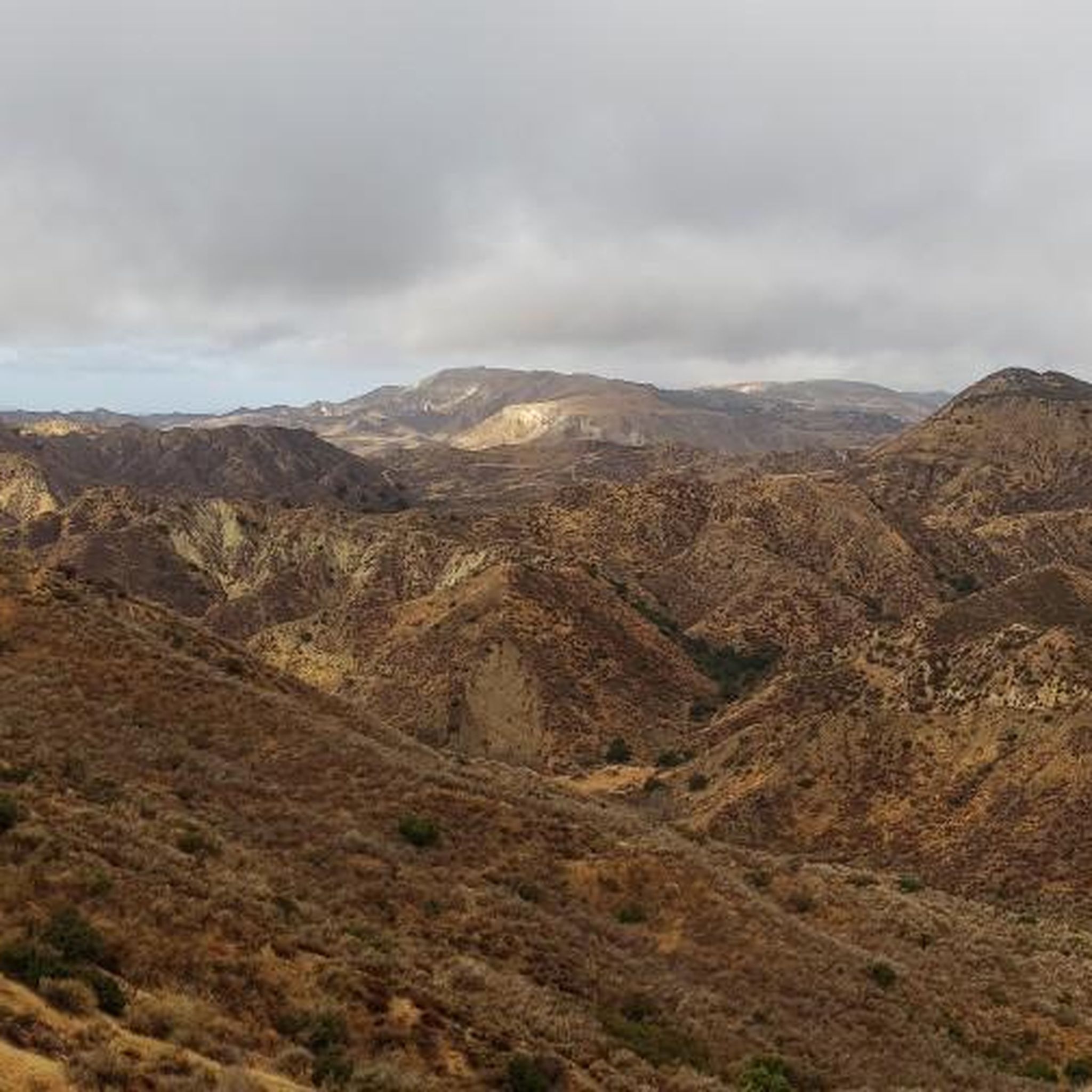
Jogging routes in Michael D. Antonovich Regional Park At Joughin Ranch traverse a diverse landscape of rolling hills, grasslands, and extensive woodlands. The park features varied topography, including chaparral and riparian corridors within canyons, offering dynamic running experiences. Panoramic views of the San Fernando Valley and surrounding mountain ranges are present along many routes. This environment provides a serene setting for outdoor activity.
Best jogging routes in Michael D. Antonovich Regional Park At Joughin Ranch
- The most popular jogging route is Running loop from Chatsworth Neighborhood Council District, a 4.7 miles (7.5 km) trail that takes 48 minutes to complete. This moderate route offers varied terrain through the park's natural environment.
- Another top favourite among local runners is Running loop from Porter Ranch Neighborhood Council District, a moderate 7.0 miles (11.2 km) path. This route provides an engaging experience through the park's diverse landscapes, including woodlands and open areas.
- Local runners also love the Rocky Peak, Las Llajas, and Chumash Loop, a 16.5 miles (26.5 km) trail leading through rugged canyons and offering significant elevation gain, often completed in about 3 hours 17 minutes.
- Jogging in Michael D. Antonovich Regional Park At Joughin Ranch is defined by rolling hills, extensive woodlands, and canyon trails. The network offers options for different ability levels, from moderate loops to more challenging routes with substantial elevation gain.
- The guide includes highly-rated routes that showcase the best of the region's landscape. More than 200 runners have used komoot to explore Michael D. Antonovich Regional Park At Joughin Ranch's varied terrain.
Last updated: June 4, 2026
10
runners
6.90km
00:45
80m
80m
Moderate run. Good fitness required. Mostly paved surfaces. Suitable for all skill levels.
3
runners
11.2km
01:12
180m
180m
Moderate run. Good fitness required. Mostly paved surfaces. Suitable for all skill levels.

18
runners
26.5km
03:17
910m
910m
Hard run. Very good fitness required. Mostly paved surfaces. Suitable for all skill levels.
1
runners
11.0km
01:18
360m
360m
Hard run. Very good fitness required. Mostly paved surfaces. Suitable for all skill levels.
22.4km
03:02
900m
890m
Hard run. Very good fitness required. Mostly paved surfaces. Suitable for all skill levels.
Get access to more routes and recommendations from other explorers.
Already have an account?
Our route recommendations are based on thousands of hikes, rides, and runs completed by other people on komoot.
Start today with a free account
Your next adventure awaits.
Popular around Michael D. Antonovich Regional Park At Joughin Ranch
Tips from the Community

This trail contains several switchbacks and rocky sections, and it steadily inclines as you progress. Along the way, there are plenty of sights to see, including rock formations and caves.
0
0
This trail is very well maintained and features a slight incline throughout its entire length. Numerous fantastic vantage points offer panoramic views of the area, and you can even catch sight of the river running through the canyon.
0
0

This junction, located just south of Blind Canyon, connects the three-mile Chumash Trail to the main Rocky Peak Trail. You can enjoy an abundance of wildflowers here, especially in the springtime.
0
0

You can ride this scenic dirt road to Chumash Trail or Hummingbird Trail. You pass Rocky Peak, the highest point in the park at 2,715 feet.
0
0

Pico Canyon Service Road is a really popular road for biking and running. It starts off as paved and quickly turns to pretty smooth dirt. Some people just do out-and-backs on the road, but running past where the road deteriorates into Pico Canyon Trail gives you backdoor access into Santa Clarita Woodlands Park, and you can loop back to your car via trails and service roads (and a little bit of pavement) if you are in for a longer run.
0
0
The Taylor Loop trail is a short trail that doesn't see as many people as some of the more southern trails, making it a great option if you are looking for a shorter run with less traffic. You can also park in a much less crowded parking lot. Some people will park at the main Taylor Loop parking area and run to some of the other trails in the park.
0
0
Towsley Canyon Loop Trail is one of the most (if not the most) popular trails in Santa Clarita Woodlands Park. The loop trail is a touch over 5 miles in total and spends some time on the forest floor in the trees, up high with the shrubs and open views, and even some time nestled up next to some canyon walls. There is a multitude of loop and route options at Santa Clarita Woodlands Park, and the Towsley Canyon Loop Trail is one of the most popular choices for good reason.
0
0
The trail steadily inclines throughout, providing limited shade but allowing for an unobstructed view of the surrounding vegetation and birds.
0
0
Frequently Asked Questions
How many running routes are available in Michael D. Antonovich Regional Park At Joughin Ranch?
There are over 40 diverse running routes mapped in Michael D. Antonovich Regional Park At Joughin Ranch. These include 4 easy routes, 22 moderate routes, and 15 challenging routes, offering options for various fitness levels.
What kind of terrain can I expect on the running trails?
Runners can expect a dynamic experience with rolling hills, grasslands, chaparral, and extensive woodlands of oak, ash, walnut, and sycamore. The park also features riparian corridors within canyons, providing varied elevation and scenic beauty.
Are there any running routes that offer panoramic views?
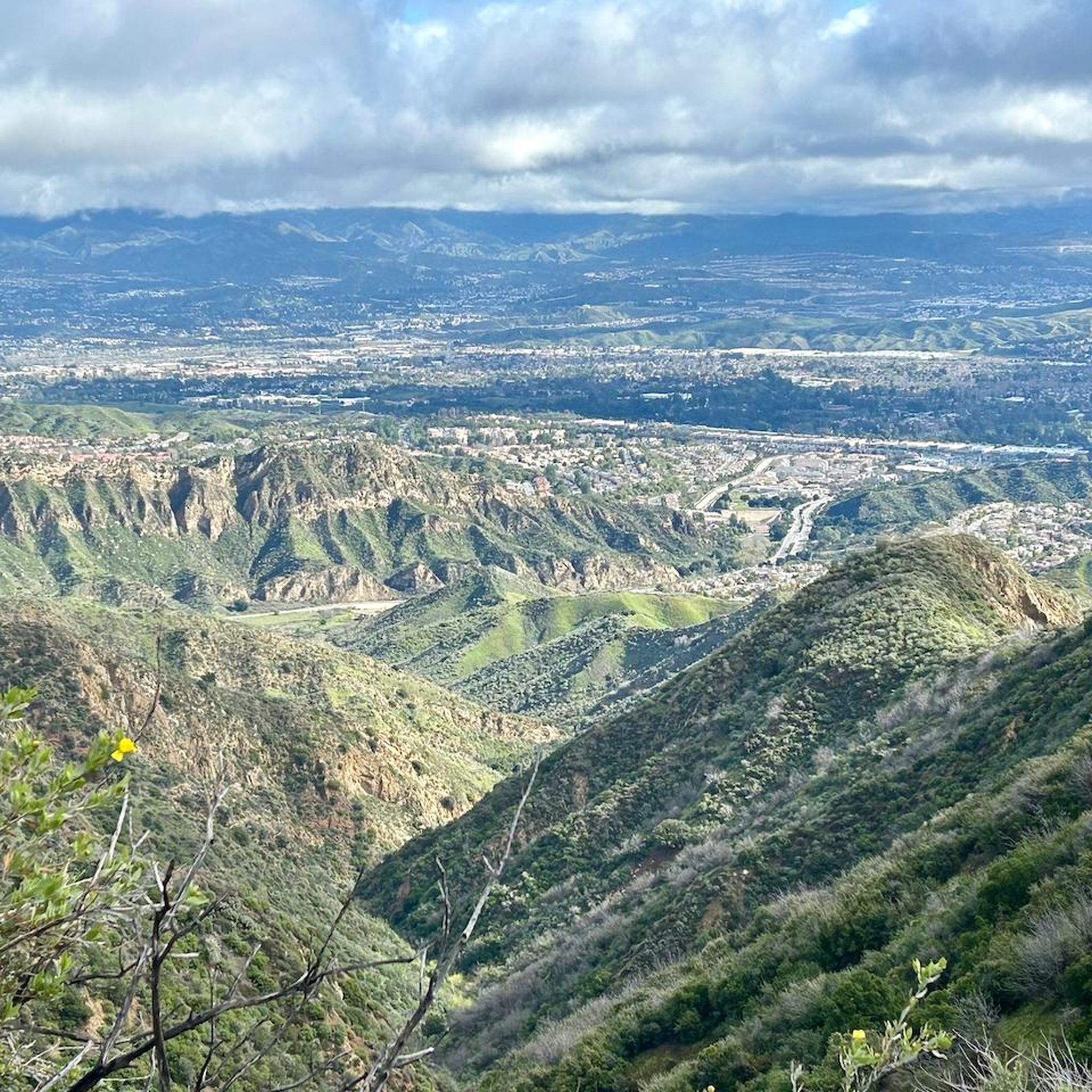
Yes, many running routes in the park boast breathtaking views. You can enjoy expansive panoramas of the San Fernando Valley, the Santa Monica, Topatopa, and Santa Susana Mountains, and the Simi Hills, providing a rewarding backdrop for your run.
Are there any loop running trails in the park?
Yes, the park features several loop running trails. A popular option is the Running loop from Chatsworth Neighborhood Council District, which is 4.7 miles long and offers varied terrain. Another well-liked loop is the Running loop from Porter Ranch Neighborhood Council District, a moderate 7.0-mile path.
What is the best time of year to go jogging in Michael D. Antonovich Regional Park At Joughin Ranch?
The park offers a pleasant running environment for much of the year. Spring and fall generally provide the most comfortable temperatures for jogging. During summer, it's advisable to run early in the morning or late in the afternoon to avoid the midday heat. Winter can also be a great time, often with cooler, crisp air.
Can I bring my dog on the running trails?
The park is generally dog-friendly, but it's always best to check specific trail regulations regarding pets. Typically, dogs are welcome on trails if kept on a leash. Please ensure you clean up after your pet to maintain the park's natural beauty.
Are there any challenging routes for experienced runners?
Absolutely. For experienced runners seeking a challenge, the park offers routes with significant elevation gain. A notable option is the Rocky Peak, Las Llajas, and Chumash Loop, a 16.5-mile trail leading through rugged canyons with substantial climbs. Another difficult route is the Pico Canyon Trail Loop, spanning nearly 7 miles with considerable elevation changes.
What kind of wildlife might I see while running?
The park is home to a rich array of wildlife. Joggers might spot various raptors such as golden eagles, great horned owls, and red-tailed hawks. The diverse habitats also support other local wildlife, adding an element of natural discovery to your run.
Is there parking available at Michael D. Antonovich Regional Park At Joughin Ranch?
Yes, parking is available at various access points to the park. For detailed information on parking locations and any potential fees or permits, it's recommended to consult the official park resources, such as the MRCA website for Michael D. Antonovich Regional Park.
What do other runners say about jogging in this park?
The running routes in Michael D. Antonovich Regional Park At Joughin Ranch are highly rated by the komoot community, with an average score of 4.0 stars. Reviewers often praise the park's serene and uncrowded environment, diverse topography, and stunning vistas, making it an excellent choice for those seeking solitude and a deeper connection with nature.
Are there any connections to other wilderness areas from the park?
Yes, Michael D. Antonovich Regional Park connects to the Marge Feinberg Rim of the Valley Trail and abuts Rocky Peak Park, a 4,815-acre wilderness park to the west. This offers opportunities for even more extensive runs and exploration beyond the immediate park boundaries.
Are there any easy routes for beginners or families?
While the guide highlights moderate and difficult routes, the park does offer easier sections suitable for beginners or families. These paths typically feature more gradual inclines and less rugged terrain, providing a gentle introduction to trail running. Look for routes with lower elevation gain for a more relaxed experience.
Most popular routes in Michael D. Antonovich Regional Park At Joughin Ranch

Get inspired with the komoot mobile app


Explore more
Browse the best Running Trails & Routes in other regions.
