The best road cycling routes in El Sereno Open Space Preserve
4.7
(85)
3,553
riders
104
rides
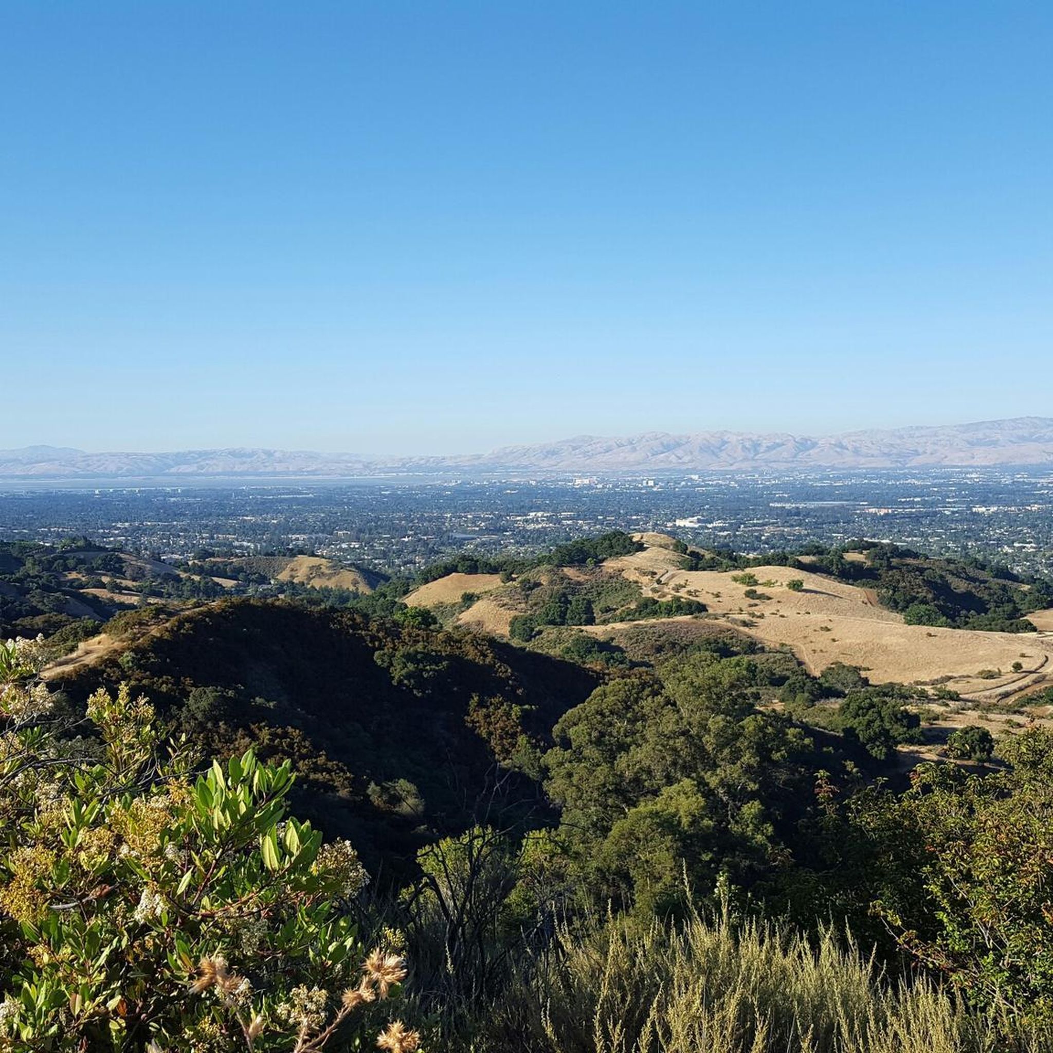
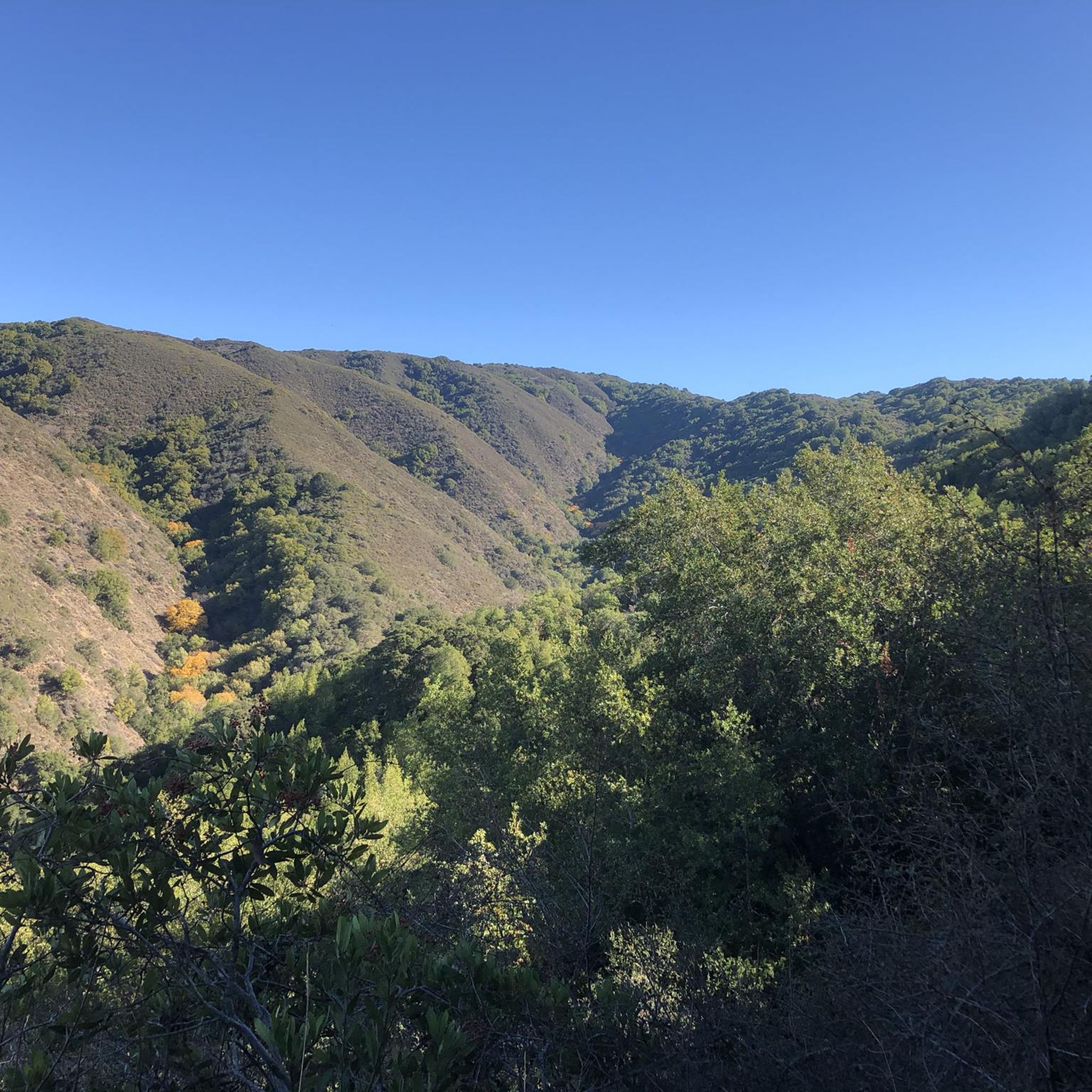
Road cycling routes in El Sereno Open Space Preserve are characterized by challenging terrain within the Santa Cruz Mountains. The region features steep slopes that lead to panoramic viewpoints, offering expansive vistas of Silicon Valley, the Diablo Range, and Lexington Reservoir. Cyclists will encounter exposed chaparral communities and meadows, with some routes providing shaded sections near creeks. The preserve rises to 2,500-foot Mount El Sereno, contributing to significant elevation changes.
Best road cycling routes in El Sereno Open Space Preserve
…Last updated: July 9, 2026
7
riders
13.4km
01:11
540m
540m
If you're seeking a road cycling route that blends a good workout with historical scenery, the Saratoga Historical Museum loop from Villa Montalvo County Park is an excellent choice. This…
4.7
(3)
133
riders
101km
05:21
1,590m
1,590m
This difficult 63.0-mile road cycling loop in Santa Cruz offers challenging climbs through redwood forests and rewarding descents.

Sign up for free
35
riders
Hard road ride. Very good fitness required. Some segments of this route may be unpaved and difficult to ride.
30
riders
Moderate road ride. Good fitness required. Mostly well-paved surfaces and easy to ride.
16
riders
69.4km
03:53
1,440m
1,440m
Hard road ride. Very good fitness required. Some segments of this route may be unpaved and difficult to ride.
Get access to more routes and recommendations from other explorers.
Sign up for free
Already have an account?
Our route recommendations are based on thousands of hikes, rides, and runs completed by other people on komoot.
Start today with a free account
Your next adventure awaits.
Login or Signup
Popular around El Sereno Open Space Preserve

Other adventures in El Sereno Open Space Preserve

Tips from the Community

A scenic stop just off the winding roads of the Santa Cruz Mountains, Lexington Reservoir County Park is a great spot to catch your breath and enjoy the view. The smooth pavement along Alma Bridge Road makes it a popular stretch for cyclists, with rolling terrain and minimal traffic. There's parking, restrooms, and shaded areas if you need a break. From here, you can loop toward Los Gatos or push deeper into the climbs of Highway 17 and Old Santa Cruz Highway.
0
0

If you're in Santa Cruz, Regale Vineyards is a must-visit. Nestled in the Santa Cruz Mountains, it offers more than just great wine – the views are incredible. Whether you're enjoying a tasting on the patio or strolling through the vineyards, you’ll be surrounded by lush greenery and towering redwoods. It’s a peaceful spot to relax and soak in the beauty of the area. Plus, the wines are fantastic, showcasing the best of the region.
0
0

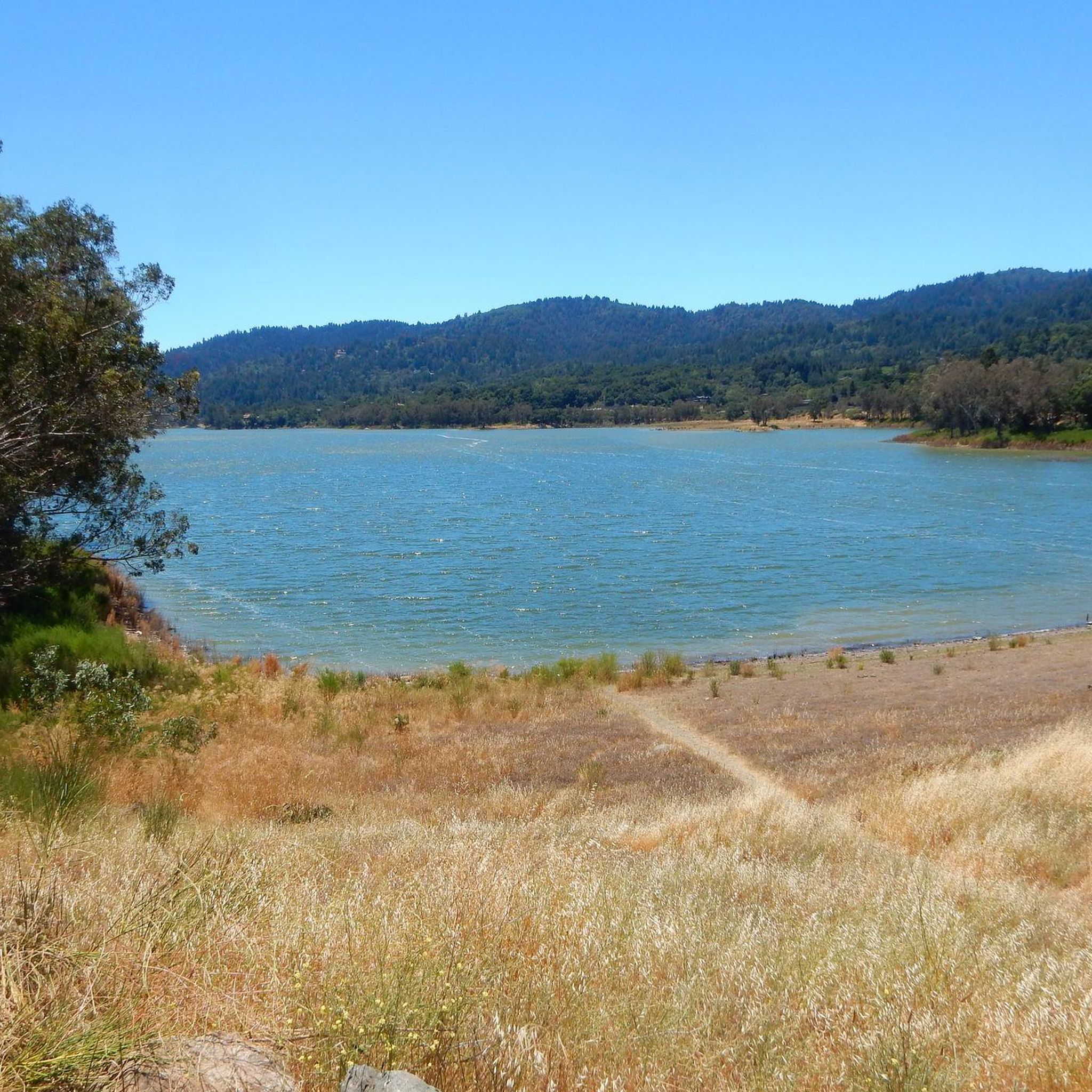
An excellent spot to take a break and enjoy the full breath of Lexington Reservoir. There is a Plaque dedicated to deputy Douglas B. Miller, who was fatally wounded while performing his duties.
0
0


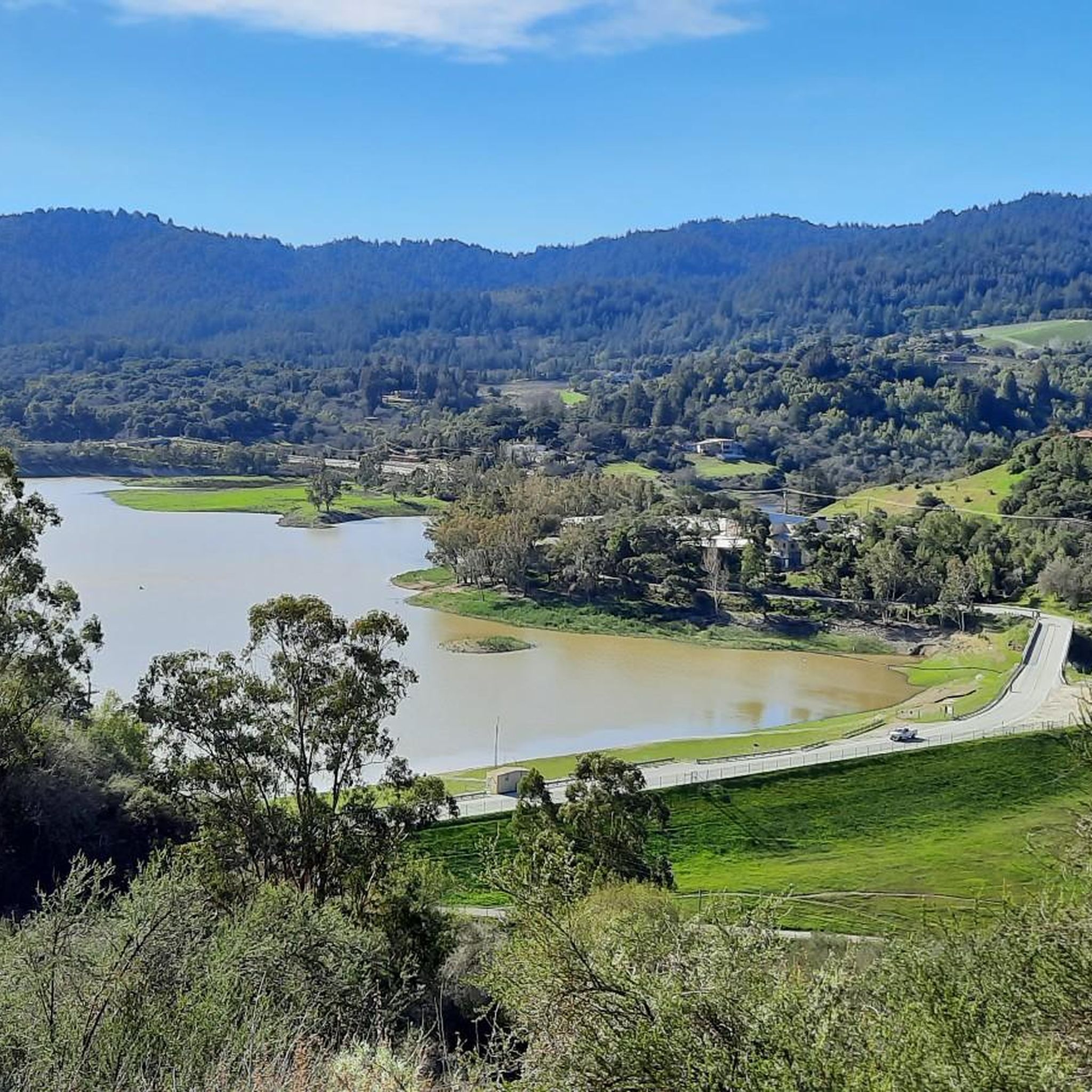
From the top of the dam you get splendid views out across Lexington Reservoir. To the north you overlook the winding end of the Los Gatos Creek Trail, which connects to the Jones Trail across from the restroom just up the road. The dam itself was constructed in 1952 and stands at nearly 200 feet tall.
0
0

A beautiful shaded ride, with great pavement, and a moderate incline. The Santa Cruz Mountains never cess to amaze me with stunning scenery
0
0

This is the third-largest reservoir in Santa Clara County. It sits at the foot of the Santa Cruz Mountains.
1
0

Very nice climb up a reasonably quiet road with some great views near the top.
1
0
Frequently Asked Questions
How many road cycling routes are available in El Sereno Open Space Preserve?
There are over 100 road cycling routes available in El Sereno Open Space Preserve. These routes cater to various skill levels, with 27 easy, 51 moderate, and 23 difficult options to explore.
What kind of terrain and elevation can I expect on road cycling routes in El Sereno Open Space Preserve?
Road cycling in El Sereno Open Space Preserve is characterized by challenging terrain with significant elevation changes, typical of the Santa Cruz Mountains. You'll encounter steep slopes rising to Mount El Sereno, which stands at approximately 2,500 to 2,580 feet. While many trails are fire roads, they offer substantial climbs and descents through exposed chaparral communities and meadows.
Are there any family-friendly road cycling routes in El Sereno Open Space Preserve?
Yes, for a more relaxed ride, the Vasona Lake Dam loop from Los Gatos is an easy 7.5 km path with gentle gradients around Vasona Lake, suitable for families looking for a less strenuous option.
What are the best times of year to go road cycling in El Sereno Open Space Preserve?
The preserve's trails are often exposed, making sun protection and ample water essential, especially on warm days. Clear days are ideal for enjoying the panoramic views. While specific seasonal recommendations aren't provided, cooler months or early mornings/late afternoons in warmer seasons might offer more comfortable riding conditions.
What are the most scenic viewpoints along the road cycling routes?
El Sereno Open Space Preserve offers spectacular panoramic views from its ridgeline trails. From various points, you can see Silicon Valley, Los Gatos, Lexington Reservoir, Sierra Azul, and even the Monterey Peninsula on clear days. Notable viewpoints include Vista Point (Overlook Trail) and El Sereno Open Space Preserve Viewpoint.
Are there any long-distance or challenging road cycling routes for experienced riders?
Yes, experienced riders seeking a challenge can explore routes like the Eureka Canyon Loop, a difficult 101 km route with over 1500 meters of elevation gain. Another demanding option is the Old Santa Cruz Highway – Branciforte Drive loop from Oak Meadow, which covers nearly 90 km with significant climbing.
What natural features will I encounter while cycling in El Sereno Open Space Preserve?
The preserve's landscape primarily features an exposed chaparral community, with meadows at higher elevations and some shaded areas near creeks. You can experience the fragrant smells of California bay laurel and other chaparral shrubs like chamise, coyote bush, and yerba santa. The deep blue waters of Lexington Reservoir are also a prominent natural feature visible from many vantage points.
What do other road cyclists enjoy most about road cycling in El Sereno Open Space Preserve?
The area is highly rated by the komoot community, with an average score of 4.8 stars from over 80 reviews. Cyclists often praise the challenging climbs, the rewarding panoramic views of Silicon Valley and the surrounding mountains, and the sense of accomplishment after tackling the steep terrain.
Are there any specific trails within the preserve that are popular for cycling?
The Montevina Ridge and Aquinas Trail are popular multi-use trails open for biking. The Aquinas Trail, in particular, is highlighted as a primary, challenging out-and-back mountain climb, offering an eight-mile route with expansive views.
Is cell service reliable in El Sereno Open Space Preserve?
Cell service can be sporadic within the preserve. It's advisable to download your komoot tours offline before heading out to ensure you have access to navigation and route information throughout your ride.
Are there any loop routes available for road cycling?
Yes, there are several loop routes. For example, the Guadalupe River Valley – Guadalupe Valley Creek loop from El Sereno Open Space Preserve is a moderate 22.9 km loop that takes you through the Guadalupe River Valley.
Most popular routes in El Sereno Open Space Preserve
Most popular attractions in El Sereno Open Space Preserve

Get inspired with the komoot mobile app


Explore more
Browse the best Road cycling routes in other regions.
