The best walks and hikes in El Sereno Open Space Preserve
4.5
(214)
3,396
hikers
108
hikes
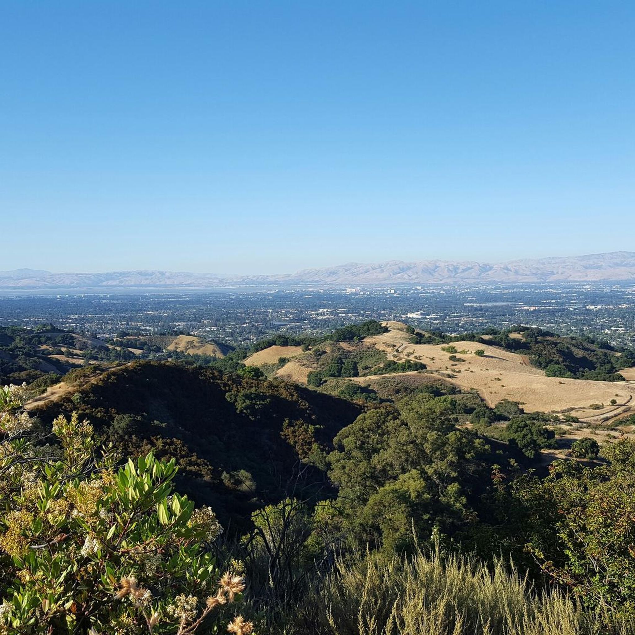
Hiking in El Sereno Open Space Preserve offers diverse landscapes within the Santa Cruz Mountains in Santa Clara County, California. The preserve features an exposed chaparral community, meadows at higher elevations, and shaded areas near creeks. Trails ascend to Mount El Sereno, a prominent ridge providing panoramic views of Silicon Valley and Lexington Reservoir. The terrain includes steep slopes and ridgeline paths, characterized by fragrant plant life like California bay laurel.
Best hiking trails in El Sereno Open Space Preserve
- The most popular hiking route is Lexington Vista Point via Aquinas Trail — El Sereno Open Space Preserve, a 7.1 miles (11.4 km) trail that takes 3 hours 28 minutes to complete. This moderate route offers expansive views from the Aquinas Trail ridge.
- Another top favourite among local hikers is John Nicholas Trail, a moderate 9.4 miles (15.2 km) path. This trail navigates varied terrain, including sections with significant elevation gain.
- Local hikers also love the Flume Trail loop from Los Gatos, a 3.9 miles (6.3 km) trail leading through foothill scenery, often completed in about 1 hour 48 minutes.
- Hiking in El Sereno Open Space Preserve is defined by chaparral communities, open meadows, and panoramic views from ridgelines. The network offers options for different ability levels, from easy loops to moderate climbs.
- The routes in El Sereno Open Space Preserve are highly rated by the komoot community with an average score of 4.6 stars from over 200 reviews. More than 3000 hikers have used komoot to explore El Sereno Open Space Preserve's varied terrain.
Last updated: July 7, 2026
3
hikers
11.4km
03:29
400m
400m
Moderate hike. Good fitness required. Easily-accessible paths. Suitable for all skill levels.
3
hikers
2.40km
00:40
40m
60m
Easy hike. Great for any fitness level. Easily-accessible paths. Suitable for all skill levels.

Sign up for free
4.3
(7)
113
hikers
4.27km
01:23
190m
190m
Easy hike. Great for any fitness level. Easily-accessible paths. Suitable for all skill levels.
4.5
(12)
79
hikers
5.31km
01:36
180m
180m
Easy hike. Great for any fitness level. Easily-accessible paths. Suitable for all skill levels.
5.0
(1)
30
hikers
15.2km
04:25
420m
420m
Moderate hike. Good fitness required. Easily-accessible paths. Suitable for all skill levels.
Get access to more routes and recommendations from other explorers.
Sign up for free
Already have an account?
Our route recommendations are based on thousands of hikes, rides, and runs completed by other people on komoot.
Start today with a free account
Your next adventure awaits.
Login or Signup
Popular around El Sereno Open Space Preserve


Other adventures in El Sereno Open Space Preserve

Tips from the Community

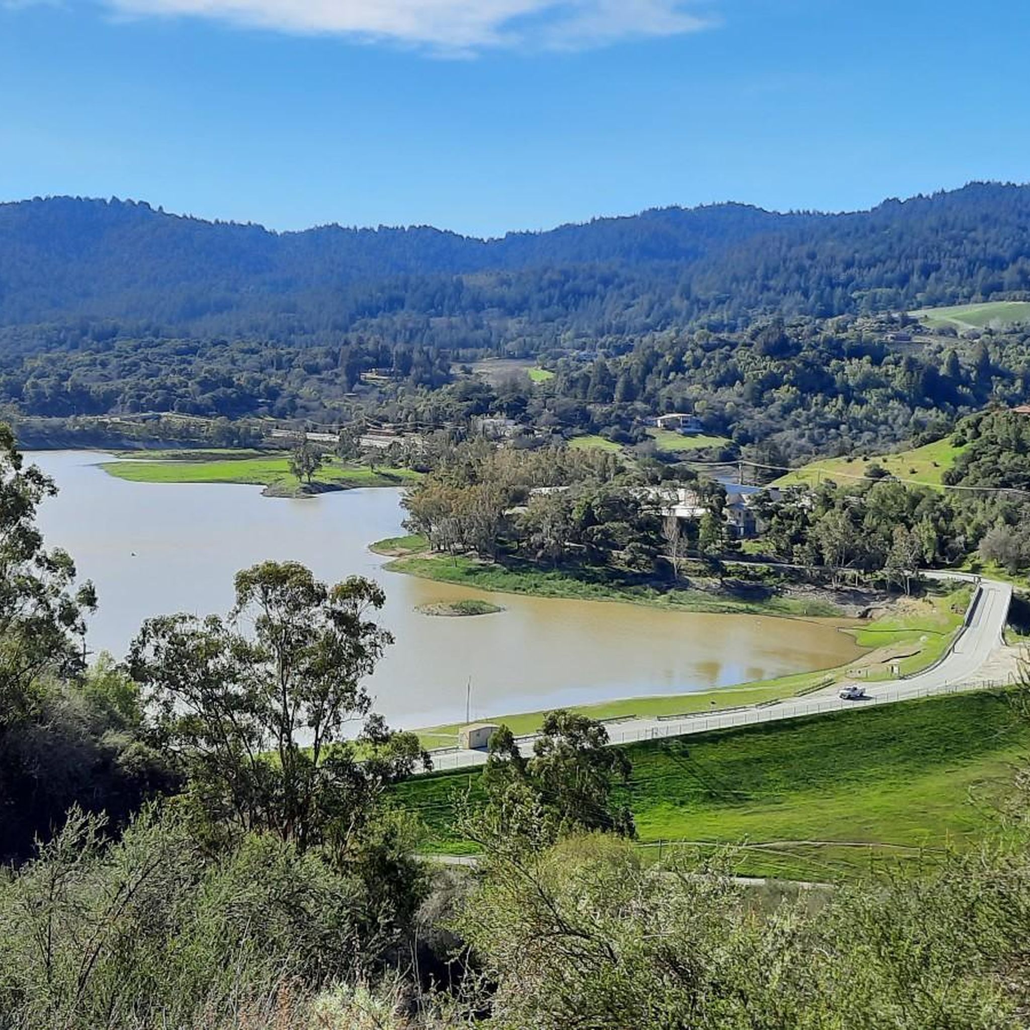
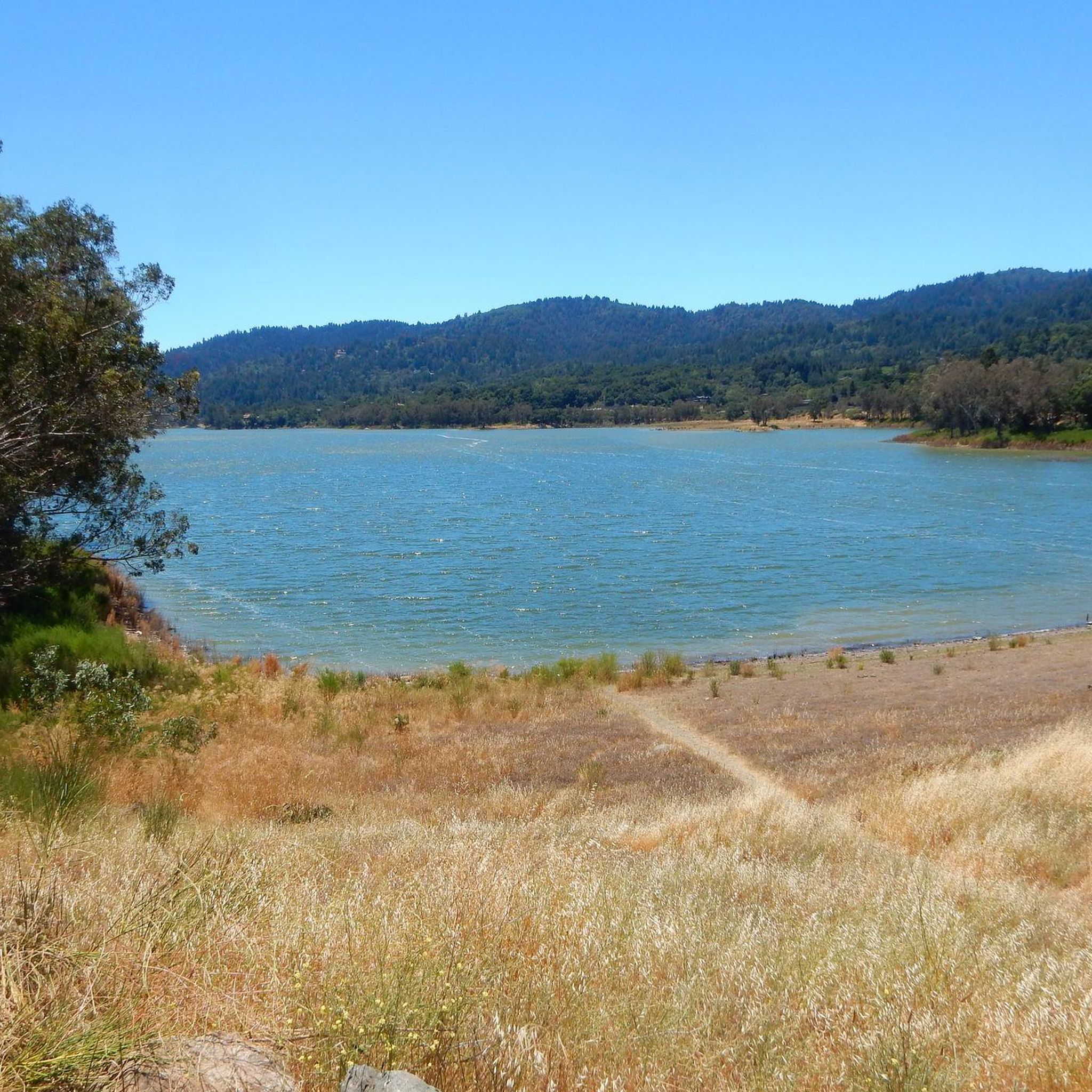
The Lake Ranch Reservoir is nice and peaceful to run, walk, hike, or bike along. There is a picnic table on the north side of the pond that you could rest at. Since the water is in a small valley, you may want to bring bug spray in the spring/summer months.
0
0

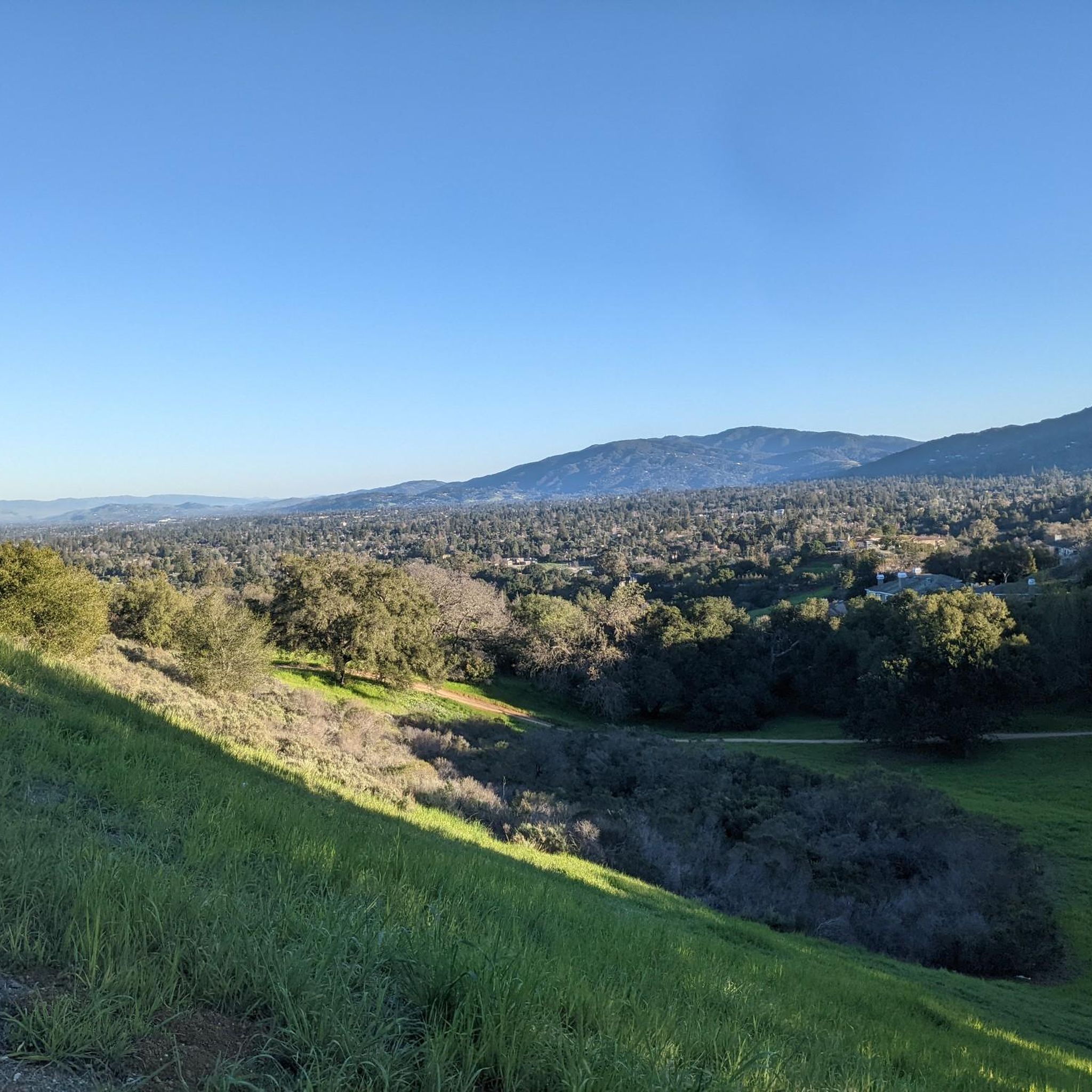
From here, you get a great view of the forest and valley, with the Santa Clara Mountains in the background. It’s a nice spot to stop for a picnic and take in the scenery. The trail continues upward, but this spot is perfect if you’re just looking for a good viewpoint.
0
0

Serving as a scenic backdrop to the town of Los Gatos, St. Joseph's Hill is a 1,250-foot hill that looks down Los Gatos Creek valley and down over nearby Lexington Reservoir. It is also the summit of the Manzanita trail, which is a classic ride best done on a gravel bike.
0
0
There is a stunning lookout point here with a few benches to relax on. You have amazing views of the valley and mountains way off on the other side! There is plenty of tree coverage on the way up, so being exposed here may be nice on a brisker day.
0
0
The Lake Ranch Reservoir is nice and peaceful to run, walk, hike, or bike along. There is a picnic table on the north side of the pond that you could rest at. Since the water is in a small valley, you may want to bring bug spray in the spring/summer months.
0
0

From this vantage point, you'll be treated to breathtaking views of Lexington Reservoir and the rolling hills of the St. Joseph's Open Space Preserve.
0
0
This trail guides you along a hillside adorned with plenty of wildflowers. As you hike, you'll be treated to breathtaking views of the South Bay area. It is advisable to start this hike in the morning and be sure to dress in layers as the temperature can change between the shaded and non-shady areas.
1
0

A nice lookout over a natural and urban area.
0
0
Frequently Asked Questions
How many hiking trails are available in El Sereno Open Space Preserve?
El Sereno Open Space Preserve features over 90 hiking trails, offering a wide range of options for different skill levels. You'll find everything from easy loops to more challenging climbs with significant elevation gain.
Are dogs allowed on the trails in El Sereno Open Space Preserve?
Yes, El Sereno Open Space Preserve is dog-friendly. Leashed dogs are welcome on its extensive trail system, allowing you to enjoy the outdoors with your canine companion.
What kind of terrain and landscapes will I encounter while hiking here?
The preserve offers diverse landscapes, from exposed chaparral communities and open meadows at higher elevations to shaded areas near creeks. You'll experience steep slopes leading up to ridgelines, characterized by fragrant plant life like California bay laurel, chamise, and yerba santa.
Are there any family-friendly hiking options in El Sereno Open Space Preserve?
Yes, there are many family-friendly options. The preserve offers trails ranging from easy to moderate difficulty. For example, the Lookout and Redwood Trail Loop is an easy 4.3 km path that can be a good choice for families.
What are the best viewpoints or natural features to look out for?
El Sereno Open Space Preserve is renowned for its spectacular panoramic views. From its trails, you can see Lexington Reservoir, Silicon Valley, Sierra Azul Open Space Preserve, and the Diablo Range. Notable viewpoints include Vista Point (Overlook Trail) and various spots offering a View of the South Bay. The preserve is named after the prominent 2,500 to 2,600-foot Mount El Sereno ridge itself.
Are there any circular hiking routes in the preserve?
Yes, there are several circular routes available. A popular option is the Flume Trail loop from Los Gatos, an easy 6.3 km trail that takes you through pleasant foothill scenery.
What is the best time of year to go hiking in El Sereno Open Space Preserve?
The preserve is open daily from half an hour before sunrise to half an hour after sunset, making it accessible year-round. Spring and fall often offer the most pleasant temperatures for hiking, with vibrant wildflowers in spring and comfortable conditions in autumn. However, the diverse landscapes can be enjoyed in any season.
What kind of wildlife might I see while hiking?
The preserve is home to various wildlife species. Hikers might spot mule deer, coyotes, gopher snakes, and brush rabbits, particularly in the watersheds of San Tomas Aquino Creek, Los Gatos Creek, and Upper Los Gatos Creek.
What do other hikers enjoy most about El Sereno Open Space Preserve?
The area is highly rated by the komoot community, with an average score of 4.6 stars from over 200 reviews. Reviewers often praise the spectacular panoramic views, the well-maintained multi-use trails, and the diverse natural scenery, especially the expansive vistas from ridgeline paths like the Aquinas Trail.
Is there parking available at El Sereno Open Space Preserve?
Yes, there are several parking areas available for visitors. The main access points typically offer designated parking lots, though it's always a good idea to check specific trailheads for detailed parking information, especially during peak times.
Are there any easy trails suitable for beginners?
Absolutely. El Sereno Open Space Preserve offers 43 easy trails. An example is the Saint Josephs Hill Summit route, an easy 5.3 km path that provides a rewarding experience without excessive difficulty.
What is the typical elevation gain on trails in El Sereno Open Space Preserve?
Elevation gain varies significantly across the preserve's trails. While some easy routes have minimal ascent, many trails involve substantial climbs. For instance, the El Sereno Open Space Preserve segment of the Bay Area Ridge Trail includes a significant elevation gain of 1,000 feet, offering rewarding views from the top.
Most popular routes in El Sereno Open Space Preserve
Most popular attractions in El Sereno Open Space Preserve

Get inspired with the komoot mobile app


Explore more
Browse the best Hikes in other regions.
