The best cycling routes in Sierra Azul Open Space Preserve
4.7
(96)
2,290
riders
143
rides
Touring cycling in Sierra Azul Open Space Preserve offers routes through diverse landscapes within the Santa Cruz Mountains. The preserve features significant elevation changes, extensive multi-use trails, and open spaces. Cyclists can navigate winding paths and challenging climbs, connecting natural areas and reservoirs. The terrain includes hills, chaparral, oak woodlands, and riparian corridors, providing varied cycling experiences.
Best touring cycling routes in Sierra Azul Open Space Preserve
- The most popular touring cycling route is Mount Umunhum Road – Mount Umunhum…
Last updated: August 19, 2026
15
riders
12.7km
01:37
560m
560m
Hard bike ride. Very good fitness required. Mostly paved surfaces. Suitable for all skill levels.
5.0
(2)
25
riders
83.6km
05:40
1,410m
1,410m
Hard bike ride. Very good fitness required. Mostly paved surfaces. Suitable for all skill levels.

Sign up for free
21
riders
71.0km
04:44
1,110m
1,110m
Hard bike ride. Very good fitness required. Mostly paved surfaces. Suitable for all skill levels.
11
riders
Moderate bike ride. Good fitness required. Mostly paved surfaces. Suitable for all skill levels.
13
riders
59.3km
04:19
1,230m
1,230m
Hard bike ride. Very good fitness required. Mostly paved surfaces. Suitable for all skill levels.
Get access to more routes and recommendations from other explorers.
Sign up for free
Already have an account?
Our route recommendations are based on thousands of hikes, rides, and runs completed by other people on komoot.
Start today with a free account
Your next adventure awaits.
Login or Signup
Tips from the Community

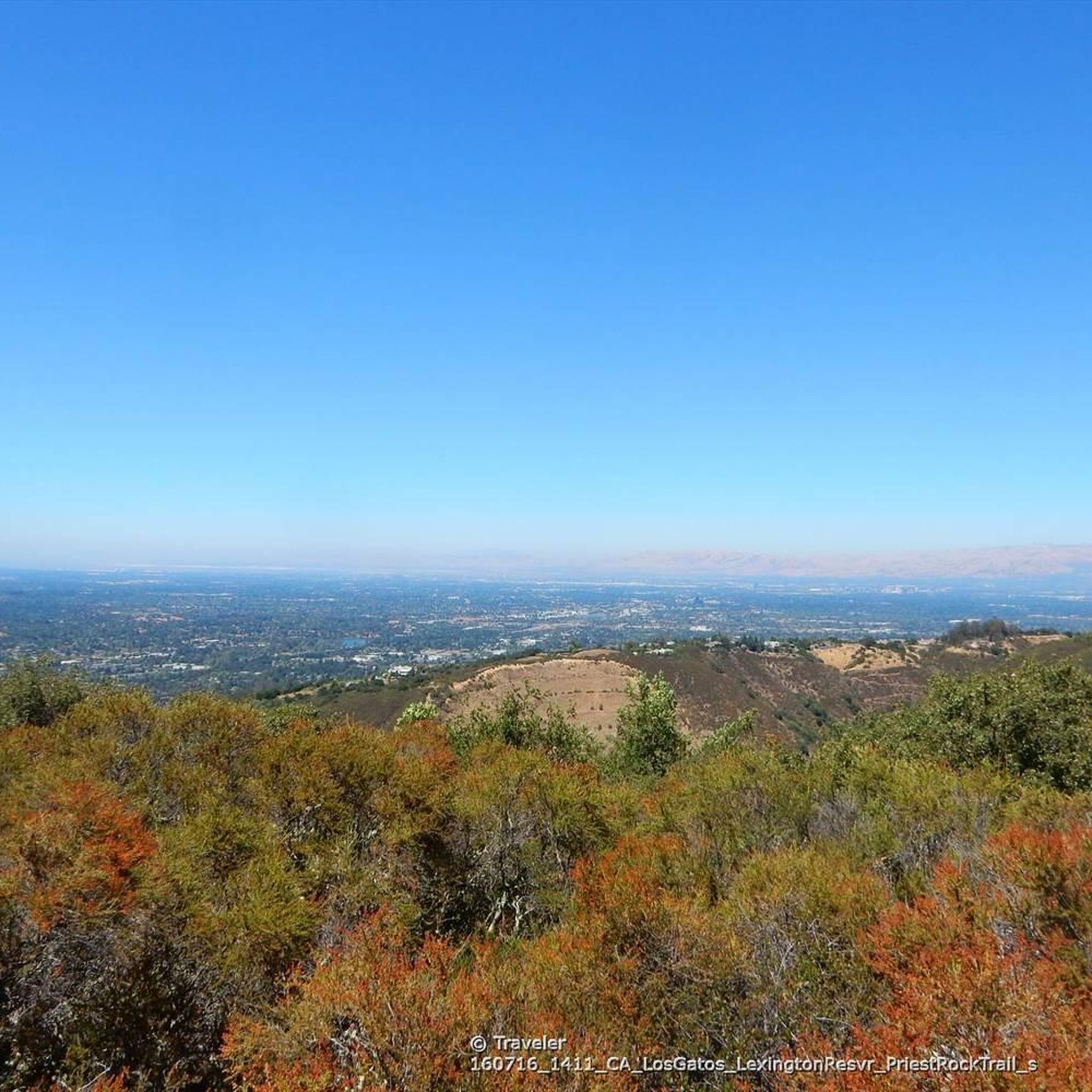
This is not a very exciting trail to hike. It’s pretty much a trail surrounded by thick walls of vegetation, with almost no opportunity to view your surroundings. The trail is 70% rocks/gravel, and 30% hard packed clay, so avoid wearing snickers
0
0


An excellent spot to take a break and enjoy the full breath of Lexington Reservoir. There is a Plaque dedicated to deputy Douglas B. Miller, who was fatally wounded while performing his duties.
0
0

From the top of the dam you get splendid views out across Lexington Reservoir. To the north you overlook the winding end of the Los Gatos Creek Trail, which connects to the Jones Trail across from the restroom just up the road. The dam itself was constructed in 1952 and stands at nearly 200 feet tall.
0
0

The Kennedy Road Sierra Azul Trailhead has a small parking area that fits about three cars, depending on size, and offers a shaded starting point. A portable toilet is available at the trailhead, and additional parking can be found at the top of Top of the Hill Road.
1
0

Felton Covered Bridge Park is a small city park and home to the Felton Covered Bridge, which is the tallest covered bridge in the United States. The bridge is a California Historical Landmark and is listed on the National Register of Historic Places. Additionally, the park offers a playground, sand volleyball court, picnic area, and access to the San Lorenzo River.
0
0
Capitola Village is a quaint town in Santa Cruz County. The downtown area offers 90 shops, restaurants, and lodging right on the beach. It's also the oldest beach resort on the West Coast.
0
0
A picturesque seaside town, features colorful Venetian cottages, shops, and restaurants overlooking Soquel Creek and the Pacific. The pastel cottages, part hotel and part private homes, create a charming scene. Capitola Beach offers ideal surfing for beginners, with rentals, lessons, and surfwear available at the Capitola Beach Company.
1
0
Frequently Asked Questions
How many touring cycling routes are available in Sierra Azul Open Space Preserve?
Sierra Azul Open Space Preserve offers over 150 touring cycling routes, catering to various skill levels. You'll find a diverse network of paths, from moderate to difficult, allowing you to explore the region's unique terrain.
What is the overall difficulty level of touring cycling in Sierra Azul Open Space Preserve?
Touring cycling in Sierra Azul Open Space Preserve is characterized by significant elevation changes and challenging climbs. While there are some moderate options, the majority of routes are considered difficult, with 54 difficult routes and 65 moderate routes out of 156 total. Cyclists should be prepared for demanding ascents and descents.
Are there options for beginner touring cyclists in Sierra Azul Open Space Preserve?
While many routes feature challenging climbs, there are 37 routes categorized as easy, offering less strenuous options for those new to touring cycling or looking for a more relaxed ride. These routes still provide a taste of the preserve's natural beauty without the intense elevation gains.
Where can experienced touring cyclists find challenging routes?
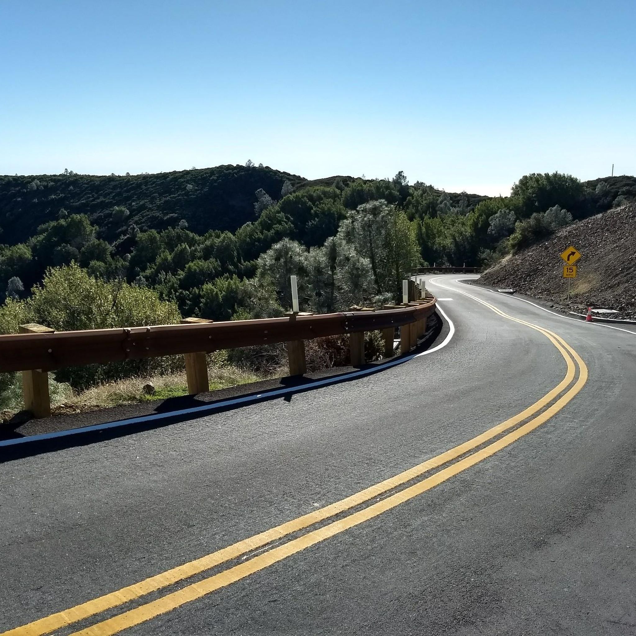
Experienced touring cyclists will find ample challenges in Sierra Azul Open Space Preserve. Routes like Mount Umunhum Road – Mount Umunhum loop from Almaden Quicksilver County Park and Bike loop from Heintz Open Space feature substantial climbs and descents, offering panoramic views and a rigorous workout.
Are there any circular touring cycling routes in the preserve?
Yes, many touring cycling routes in Sierra Azul Open Space Preserve are designed as loops, allowing you to start and end at the same point. For example, the popular Capitola Village – Mountain Charlie Road loop from Lexington Reservoir County Park offers a diverse journey through various landscapes.
What kind of views can I expect on the touring cycling routes?
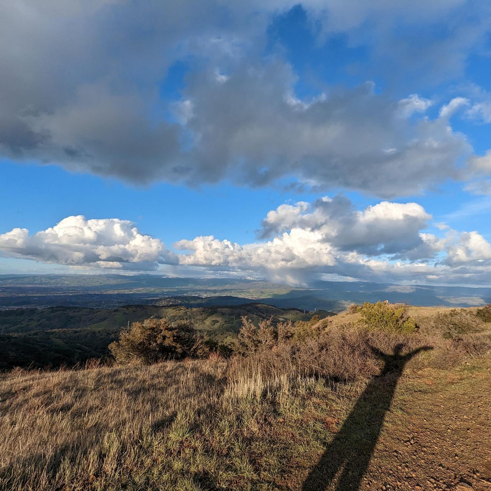
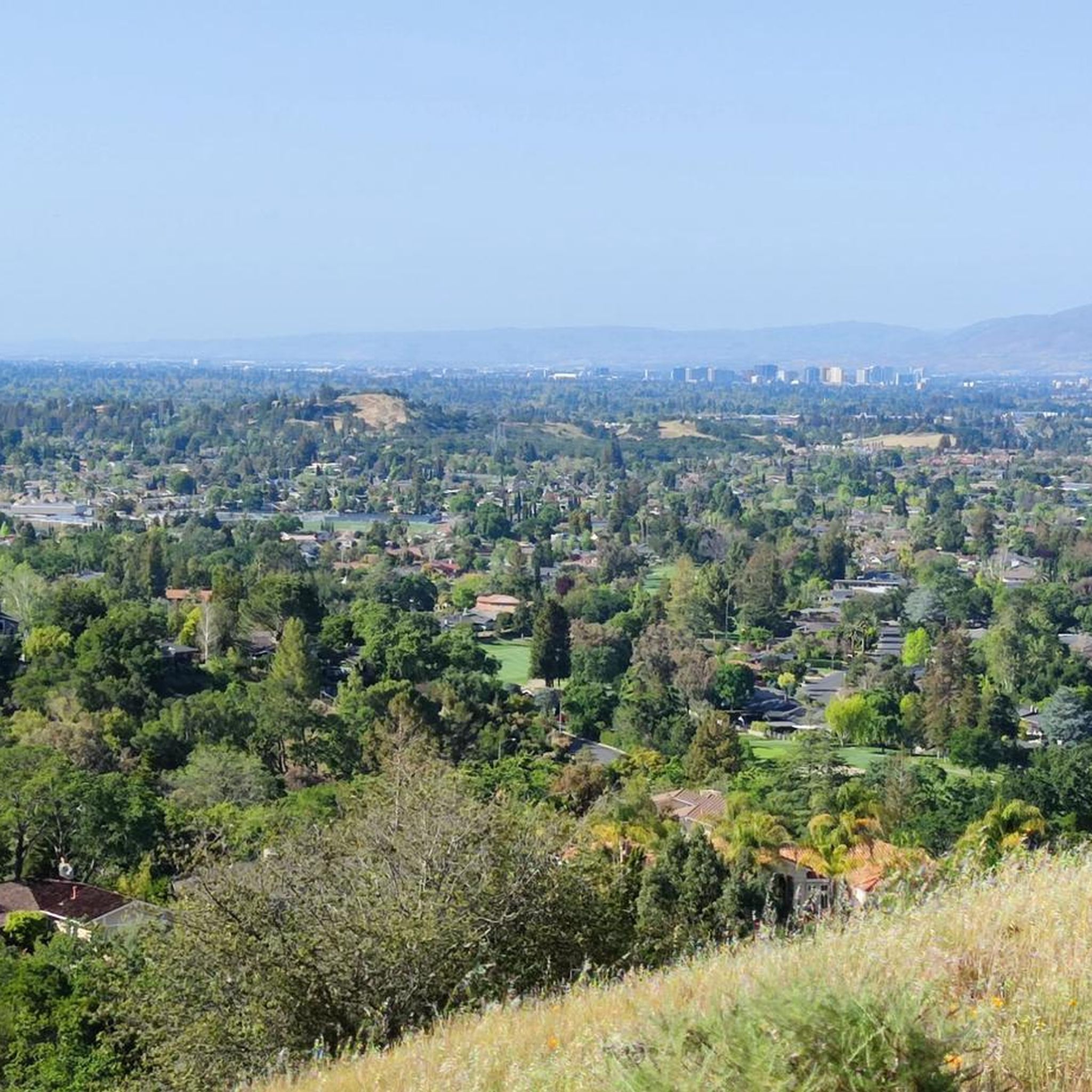
The routes in Sierra Azul Open Space Preserve offer expansive views of the Santa Clara Valley, scenic reservoir vistas, and extensive open spaces. You'll often find yourself on winding paths traversing hills, providing numerous opportunities for panoramic outlooks.
What points of interest can I explore along the touring cycling routes?
Along the touring cycling routes, you can explore various points of interest. Notable climbs include Mount Umunhum Road and Hicks Road Climb. You might also encounter trailheads like Kennedy Road Sierra Azul Trailhead and natural areas such as Sierra Azul Open Space itself.
When is the best time of year to go touring cycling in Sierra Azul Open Space Preserve?
The preserve is generally accessible year-round, but spring and fall often offer the most pleasant conditions with milder temperatures. Summers can be hot, especially on exposed sections, while winters might bring rain, making some trails muddy. Always check local weather forecasts before heading out.
Are there family-friendly touring cycling routes in Sierra Azul Open Space Preserve?
While many routes are challenging, families can find suitable options among the 37 easy-rated routes. These paths typically have less elevation gain and are shorter, providing a more relaxed experience for cyclists of all ages. Always check the route details for specific difficulty and length before embarking with children.
What do other touring cyclists say about their experience in Sierra Azul Open Space Preserve?
The touring cycling routes in Sierra Azul Open Space Preserve are highly rated by the komoot community, with an average score of 4.7 stars from over 90 reviews. Cyclists frequently praise the challenging hill climbs, the rewarding scenic reservoir views, and the extensive open spaces that define the area's unique character.
Can I expect to see wildlife while touring cycling in Sierra Azul Open Space Preserve?
Sierra Azul Open Space Preserve is home to diverse wildlife. While cycling, you might encounter deer, various bird species, and smaller mammals. Staying quiet and observant, especially during dawn and dusk, increases your chances of spotting local fauna. Remember to maintain a respectful distance.
Are there cafes or places to refuel near the touring cycling routes?
While the preserve itself is largely undeveloped, you'll find towns and communities bordering Sierra Azul Open Space Preserve, such as Los Gatos and Almaden Valley, which offer various cafes, restaurants, and stores for refueling and refreshments before or after your ride.
Most popular routes in Sierra Azul Open Space Preserve
Most popular attractions in Sierra Azul Open Space Preserve

Get inspired with the komoot mobile app


Explore more
Browse the best Cycling routes in other regions.
