The best road cycling routes in Foothills Open Space Preserve
4.5
(252)
8,019
riders
74
rides
Road cycling in Foothills Open Space Preserve offers a diverse landscape for riders, characterized by rolling hills, open spaces, and scenic valleys. The region features well-maintained roads that wind through natural preserves and past local landmarks. Elevation changes range from gentle slopes to more challenging climbs, accommodating various fitness levels. The area includes rugged chaparral, dense woodlands, and open fields, providing varied terrain for road cyclists.
Best road cycling routes in Foothills Open Space Preserve
- The most popular road cycling route is Alpine Road – Dwight Crowder Path loop from La Honda, a 14.9 miles (23.9 km) trail that takes 1 hour 26 minutes to complete. This moderate route features a mix of open roads and dedicated paths.
- Another top favourite among local road cyclists is Portola Valley – Rossotti's Alpine Inn loop from Enid Pearson-Arastradero Preserve, an easy 11.9 miles (19.2 km) path. This loop offers pleasant riding through Portola Valley with views of the surrounding preserve.
- Local road cyclists also love the Rossotti's Alpine Inn – Junipero Serra Boulevard loop from Los Trancos Woods, a 17.8 miles (28.7 km) trail leading through valleys and past wooded areas, often completed in about 1 hour 20 minutes.
- Road cycling in Foothills Open Space Preserve is defined by rolling hills, open valleys, and scenic roads. The network offers options for easy, moderate, and difficult routes, accommodating various skill levels.
- The routes in Foothills Open Space Preserve are highly rated by the komoot community with an average score of 4.7 stars from over 240 reviews. More than 7,900 road cyclists have used komoot to explore Foothills Open Space Preserve's varied terrain.
Last updated: September 29, 2026
14
riders
Moderate road ride. Good fitness required. Some segments of this route may be unpaved and difficult to ride.
5.0
(1)
134
riders
51.8km
02:35
800m
800m
Moderate road ride. Good fitness required. Mostly well-paved surfaces and easy to ride.

17
riders
Easy road ride. Great for any fitness level. Mostly well-paved surfaces and easy to ride.
5
riders
18.1km
01:09
390m
390m
Moderate road ride. Good fitness required. Some segments of this route may be unpaved and difficult to ride.
4.7
(3)
177
riders
92.0km
05:05
1,830m
1,830m
Hard road ride. Very good fitness required. Mostly well-paved surfaces and easy to ride.
Get access to more routes and recommendations from other explorers.
Already have an account?
Our route recommendations are based on thousands of hikes, rides, and runs completed by other people on komoot.
Start today with a free account
Your next adventure awaits.
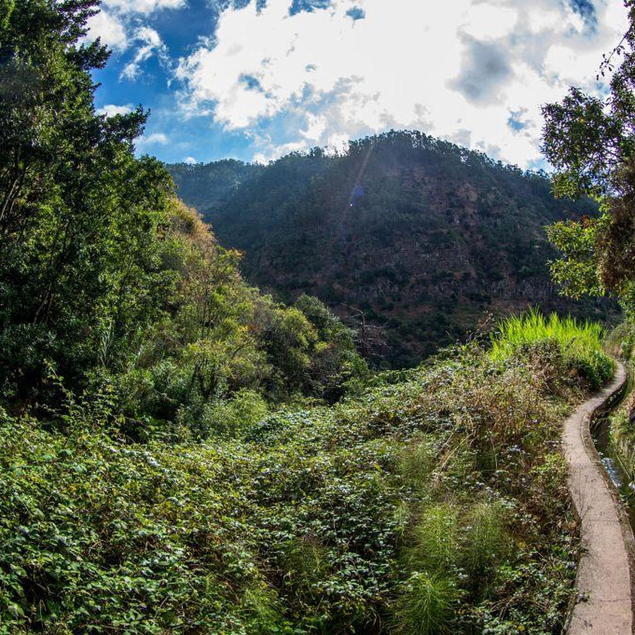
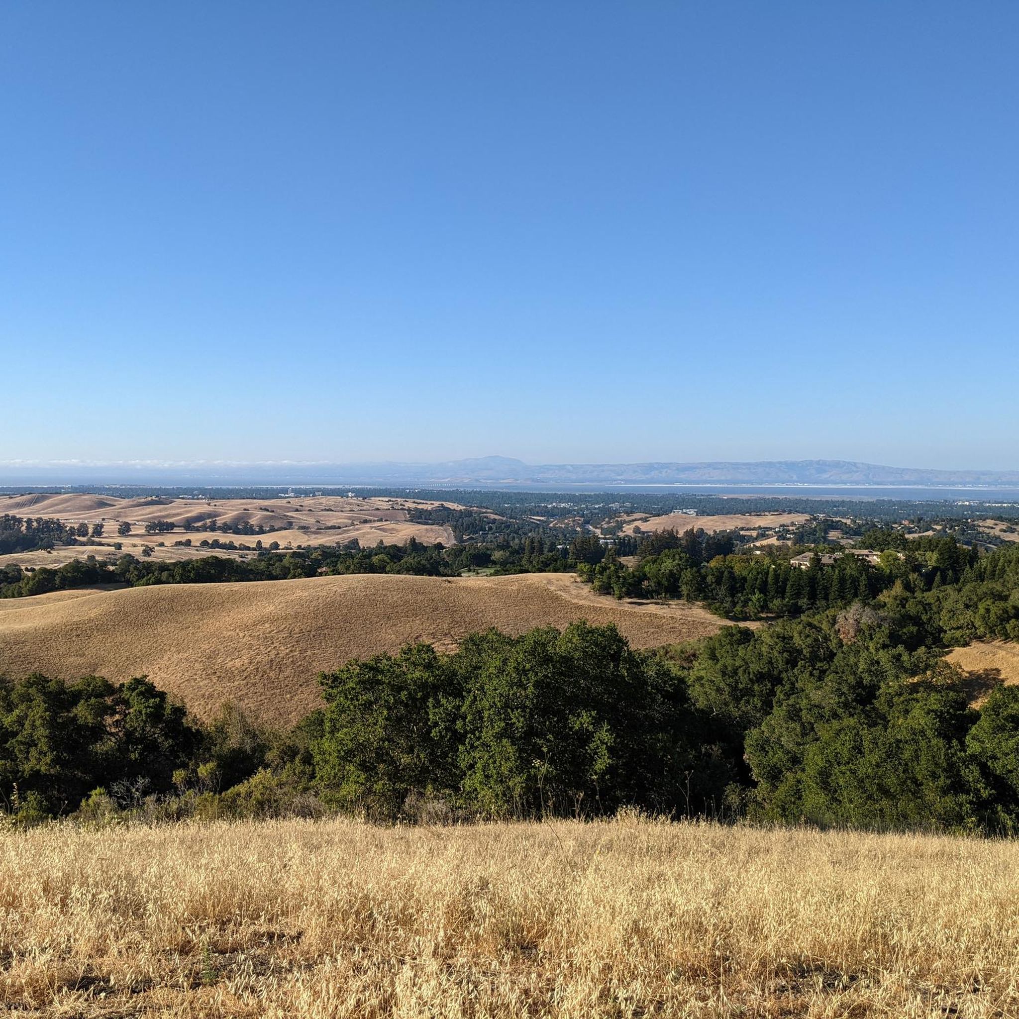
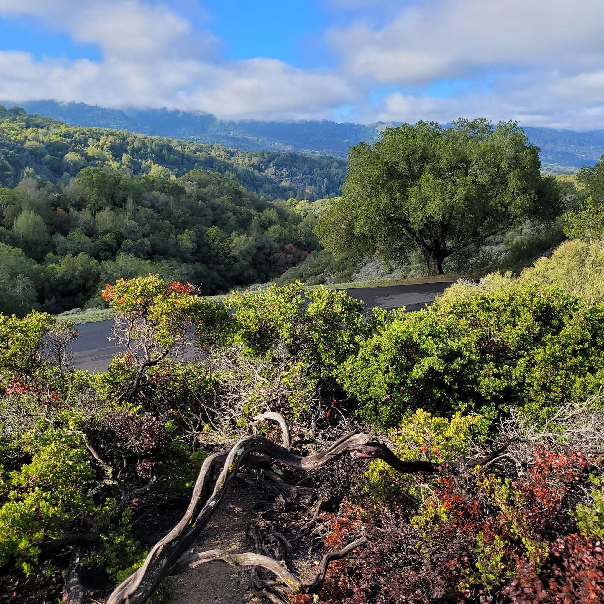
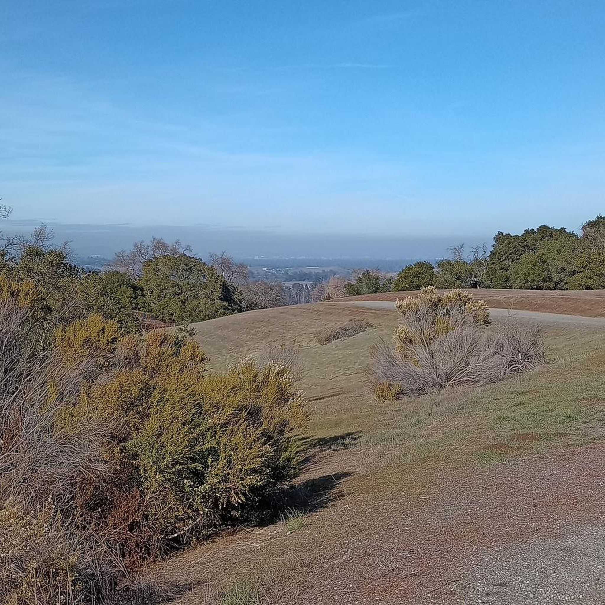
Tips from the Community

The Northern part of Alpine Road is a paved and curvy descent through wooded areas and runs parallel to Coal Mine Ridge Preserve, eventually connecting with the trailhead there.
0
0

This mostly paved bike trail alongside Alpine Road is great for bike commuting — just don't run over any slower trail users! The trail runs all the way from Portola Valley to Stanford, offering some nice shade along the way. The brief moments of unpaved trail are near the Portola Valley end.
0
0


Moody Road is a short route for cyclists connected to nearby trails or longer climbs like Page Mill Road. It offers a mix of rolling hills and quiet, scenic vibes. The last km is tough, but in the end it is always worth it.
0
0
Moody Road is a short route for cyclists connected to nearby trails or longer climbs like Page Mill Road. It offers a mix of rolling hills and quiet, scenic vibes. The last km is though, but in the end it is always worth it.
1
0
Winding through a quiet residential area with minimal traffic, Altamont Road is perfect for a laid-back ride or linking up with tougher routes nearby. The gentle climbs make it super relaxing, and the hill views are awesome—especially around sunrise or sunset. It’s bike-friendly, but watch out for the occasional car on the narrower sections.
0
0

This fantastic tavern, founded in 1852, is the second oldest in the state. It features a large, beer garden-style outdoor area with plenty of shade. An extensive beer and food menu makes it a perfect stop to enjoy a brew and some great food after a ride.
0
0

From Elena Road, you’ll be treated to breathtaking views of the bay and surrounding hills. The vantage point offers a peaceful scene of the landscape, showcasing the natural beauty of the Bay Area.
0
0
Frequently Asked Questions
How many road cycling routes are available in Foothills Open Space Preserve?
There are over 75 road cycling routes available in Foothills Open Space Preserve, offering a diverse range of options for cyclists of all levels.
What is the overall difficulty level for road cycling in Foothills Open Space Preserve?
The preserve offers a varied terrain with routes ranging from easy to difficult. You'll find 39 easy routes, 30 moderate routes, and 8 more challenging options, characterized by rolling hills and scenic valleys.
Are there road cycling routes suitable for beginners in Foothills Open Space Preserve?
Yes, beginners can enjoy many routes. For an easy ride through pleasant scenery, consider the Portola Valley – Rossotti's Alpine Inn loop from Enid Pearson-Arastradero Preserve, which is 11.9 miles long. Another accessible option is the Portola Valley – Rossotti's Alpine Inn loop from Congregation Beth Am.
What are some challenging road cycling routes for advanced riders?
For advanced riders seeking a challenge, the Alpine Road Loop is a demanding option. This route covers nearly 92 kilometers and features significant elevation changes, making it suitable for experienced cyclists.
Are there any loop road bike trails in Foothills Open Space Preserve?
Yes, many routes in the preserve are loops. Popular choices include the Alpine Road – Dwight Crowder Path loop from La Honda, the Portola Valley – Rossotti's Alpine Inn loop from Enid Pearson-Arastradero Preserve, and the Rossotti's Alpine Inn – Junipero Serra Boulevard loop from Los Trancos Woods.
What is the best time of year for road biking in Foothills Open Space Preserve?
The region generally offers pleasant cycling conditions for much of the year. Spring and fall often provide mild temperatures and beautiful scenery. Summers can be warm, so early morning rides are recommended, while winters are typically mild but can bring occasional rain.
What kind of views can I expect on road cycling routes in the preserve?
Road cycling routes in Foothills Open Space Preserve offer scenic views of rolling hills, open spaces, and picturesque valleys. Many routes traverse natural preserves, providing a sense of tranquility and natural beauty.
Are there any family-friendly road biking options?
While the preserve features varied terrain, some of the easier, flatter sections of routes, particularly those on dedicated paths, can be suitable for families. Always check the route's difficulty and elevation profile to ensure it matches your family's comfort level.
What do other road cyclists say about the routes in Foothills Open Space Preserve?
The komoot community rates the routes highly, with an average score of 4.7 stars from over 240 reviews. Riders often appreciate the diverse landscape of rolling hills and scenic valleys, as well as the well-maintained roads.
Are there any cafes or places to stop for refreshments along the routes?
Many routes pass through or near small towns and communities in the Portola Valley area, where you can find cafes and local establishments for refreshments. Rossotti's Alpine Inn is a notable landmark mentioned in several routes, often serving as a popular stop for cyclists.
What are the typical distances for road cycling routes in the preserve?
Route distances vary significantly, from shorter loops around 12 miles (19 km) to longer, more challenging rides approaching 57 miles (92 km). This allows cyclists to choose a route that fits their desired distance and time commitment.
Most popular routes in Foothills Open Space Preserve

Get inspired with the komoot mobile app


Explore more
Browse the best Road cycling routes in other regions.
