The best walks and hikes in Foothills Open Space Preserve
4.6
(325)
4,413
hikers
193
hikes
Hiking in Foothills Open Space Preserve offers a network of trails traversing rolling hills and open landscapes in Santa Clara County. The preserve features varied terrain, including paths around Boronda Lake and along creeks, providing diverse natural environments. Elevation changes are generally moderate, making the area accessible for a range of hiking abilities. The landscape is characterized by its natural preserve setting, offering views across the foothills.
Best hiking trails in Foothills Open Space Preserve
- The most popular hiking route is Boronda Lake — Foothills Nature Preserve, a 3.8 miles (6.1 km) trail that takes 1 hour 40 minutes to complete. This easy route circles Boronda Lake, offering a tranquil experience within the preserve.
- Another top favourite among local hikers is Creek Trail loop — Cupertino, California, a moderate 4.2 miles (6.7 km) path. This trail follows a creek, providing a scenic journey through the natural surroundings.
- Local hikers also love the Boronda Lake – Foothills Nature Preserve loop from Enid Pearson-Arastradero Preserve, a 5.2 miles (8.3 km) trail leading through varied terrain, often completed in about 2 hours 35 minutes.
- Hiking in Foothills Open Space Preserve is defined by rolling hills, open spaces, and natural lake and creek features. The network offers options for different ability levels, from easy strolls to moderate climbs.
- The routes in Foothills Open Space Preserve are highly rated by the komoot community with an average score of 4.6 stars from over 300 reviews. More than 4000 hikers have used komoot to explore Foothills Open Space Preserve's varied terrain.
Last updated: October 4, 2026
5.0
(3)
18
hikers
6.06km
01:41
110m
110m
The Boronda Lake trail offers a tranquil and accessible hiking experience, winding through diverse habitats within the Foothills Nature Preserve. You'll traverse well-maintained paths of packed dirt and gravel, enjoying picturesque views of the serene 10-acre Boronda Lake. The route takes you through oak woodlands and grasslands, providing welcome shade in many sections, and offers opportunities for wildlife spotting, including deer and various bird species.
This easy 3.8-mile (6.1 km) hike, with a gentle 376 feet (115 metres) of elevation gain, typically takes around 1 hour and 41 minutes to complete. The preserve, now open to the general public, has parking available, though it's wise to arrive early on busy days. This trail is suitable for all skill levels, making it a great option for families or those new to hiking.
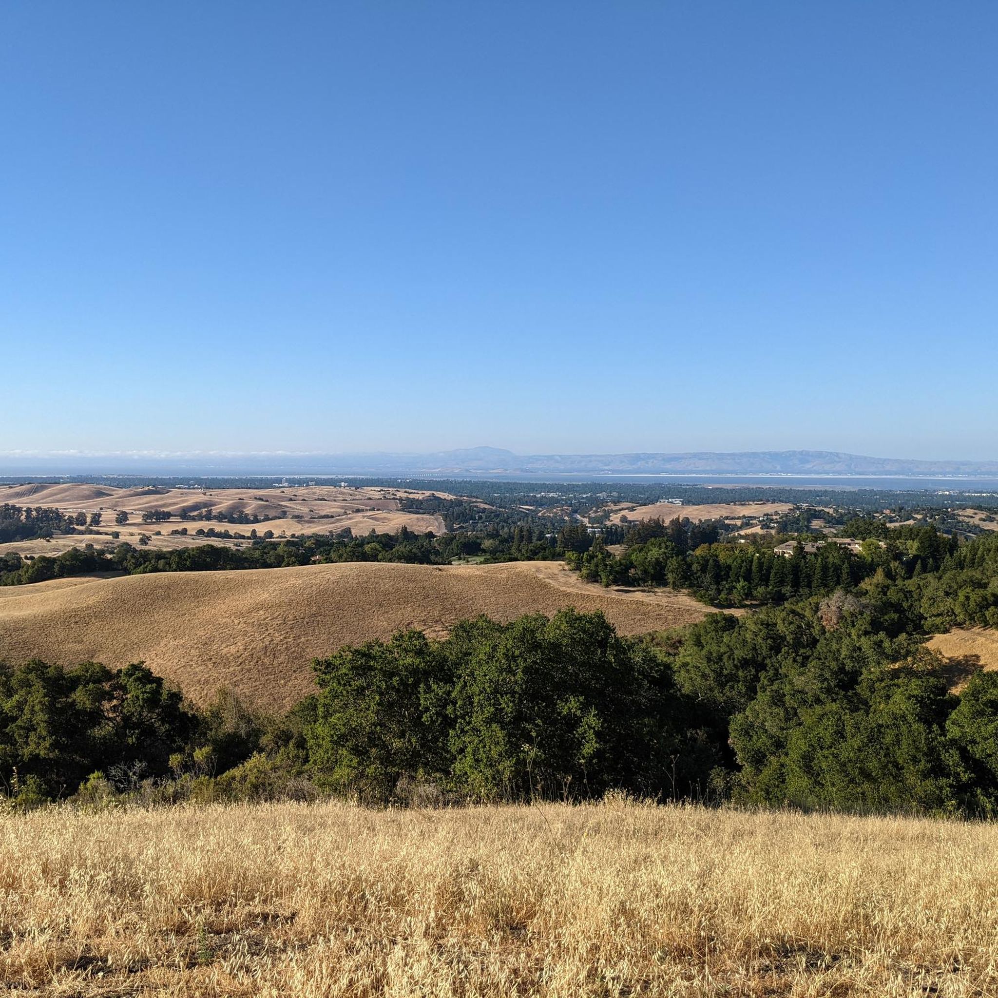
What truly sets this route apart is the panoramic reward from Vista Hill, where you can soak in a 180-degree view stretching across the San Francisco Bay to Mount Tamalpais and Mount Diablo. Beyond the scenic beauty, the preserve's diverse ecosystems and the peaceful atmosphere around Boronda Lake make it a notable escape from the bustling Bay Area, perfect for quiet reflection or birdwatching.
5.0
(2)
6
hikers
6.71km
02:07
260m
260m
The Creek Trail loop offers a refreshing escape into nature, guiding you through varied terrain that often includes lush woodland and the soothing sounds of flowing water. Many trails of this type feature a mix of singletrack and gravel paths, sometimes crossing streams via well-built bridges. You'll find yourself immersed in a natural setting, perfect for a moderate outing.
This moderate 4.2-mile (6.7 km) hiking route involves 860 feet (262 metres) of elevation gain, typically taking around 2 hours and 7 minutes to complete. It's a great choice for hikers seeking a good workout without an all-day commitment. Always plan to arrive early for trailhead parking, and remember to bring sufficient water, especially on warmer days.
While the name "Creek Trail loop" is common across the United States, these trails consistently deliver on their promise of natural beauty and a connection to water. They are often noted for diverse seasonal foliage, from spring wildflowers to colorful autumn leaves, and can be enjoyed year-round depending on local conditions. This particular route offers a solid, accessible hiking experience in Santa Clara County, California.

4.8
(6)
30
hikers
Moderate hike. Good fitness required. Easily-accessible paths. Suitable for all skill levels.
4.3
(3)
30
hikers
6.96km
02:05
220m
220m
Moderate hike. Good fitness required. Easily-accessible paths. Suitable for all skill levels.
14
hikers
4.04km
01:10
110m
100m
Easy hike. Great for any fitness level. Easily-accessible paths. Suitable for all skill levels.
Get access to more routes and recommendations from other explorers.
Already have an account?
Our route recommendations are based on thousands of hikes, rides, and runs completed by other people on komoot.
Start today with a free account
Your next adventure awaits.
Tips from the Community

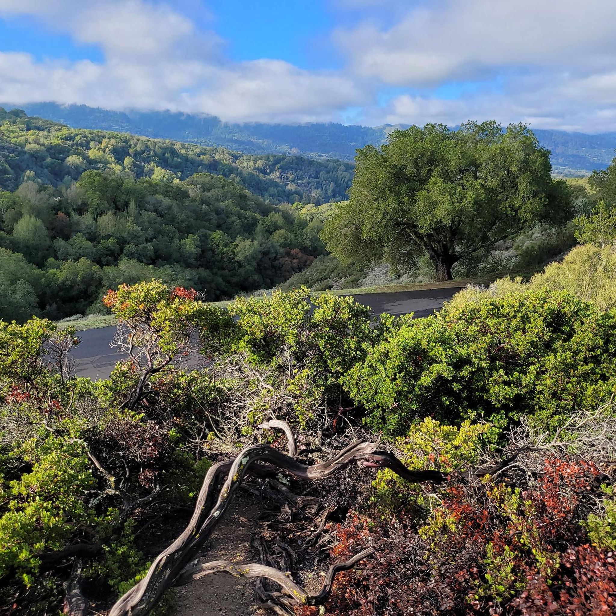
This pretty packed dirt trail winds up above Boronda Lake through the Foothills Nature Preserve. You get a decent amount of shade, especially on this lower section.
0
0
Boronda Lake features a couple scenic picnic areas with piers out over the water. A small arched bridge leads out to Sunfish Island from a trail on the side of the lake opposite the road. This is great place from which to enjoy beautiful Foothills Nature Preserve.
0
0

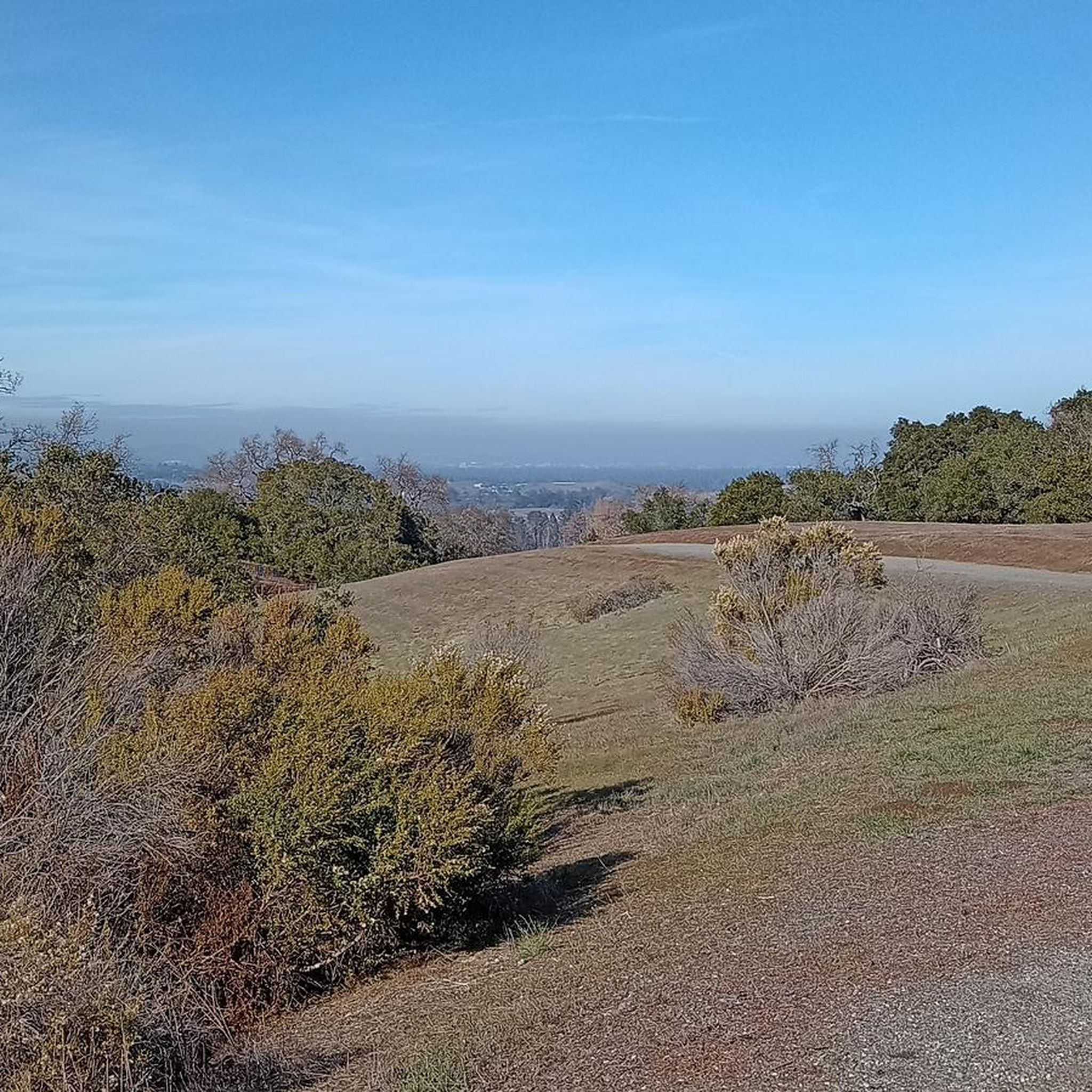
This 1,400-acre preserve is a welcome patch of nature in a highly urbanized area. You'll find miles of walking and running trails here, along with great views over the Bay Area and lots of opportunities for wildlife sightings. Admission currently costs $6 for a passenger vehicle (up to a 9-person capacity).
0
0

The use of real dumps raises several ethical concerns within the IT community. Cisco certifications are designed to validate the knowledge and skills of professionals, ensuring they are well-equipped to handle real-world networking challenges. Relying on https://www.certsdone.com/200-301-cert-exam.html real dumps undermines the integrity of the certification process, as individuals may obtain certification without genuinely acquiring the required expertise.
0
0

Part of the 1,400-acre Foothills Nature Preserve, where animals like to see deer and coyotes are common, though bobcat sighting are more rare.
0
0

In the mountains of Hidden Villa, you are far from the city, and yet geographically the city of men is very close.
0
0

Near the end of the paved road is this interesting agricultural environmental education Center with a demo farm, hostel, and large Trailhead parking area. Good starting point for excursions.
0
0
Frequently Asked Questions
What types of hiking trails can I expect in Foothills Open Space Preserve?
Foothills Open Space Preserve offers a variety of trails, primarily traversing rolling hills and open landscapes. You'll find paths around Boronda Lake and along creeks, providing diverse natural environments. The terrain generally features moderate elevation changes, making it accessible for a range of hiking abilities.
Are there easy hiking options suitable for beginners or casual walkers?
Yes, the preserve has many easy trails. For instance, the Boronda Lake — Foothills Nature Preserve route is an easy 3.8-mile (6.1 km) loop that circles Boronda Lake, offering a tranquil experience. Overall, there are 87 easy routes available.
Are there any moderate trails for a more challenging hike?
Absolutely. The preserve features 69 moderate trails. A popular choice is the Creek Trail loop — Cupertino, California, a 4.2-mile (6.7 km) path that follows a scenic creek. Another option is the Boronda Lake – Foothills Nature Preserve loop from Enid Pearson-Arastradero Preserve, which covers 5.2 miles (8.3 km) through varied terrain.
What do other hikers say about the trails in Foothills Open Space Preserve?
The trails in Foothills Open Space Preserve are highly regarded by the komoot community, holding an average rating of 4.6 stars from over 300 reviews. Hikers often praise the well-maintained paths, scenic views, and the peaceful atmosphere around Boronda Lake.
Are there any loop trails available in the preserve?
Yes, many trails in Foothills Open Space Preserve are loops, offering convenient circular routes. Examples include the Boronda Lake — Foothills Nature Preserve loop and the Creek Trail loop — Cupertino, California.
How many hiking routes are there in total within Foothills Open Space Preserve?
There are over 160 hiking routes available in Foothills Open Space Preserve, catering to various skill levels and preferences.
What are some notable natural features or landmarks to look out for?
The preserve is characterized by its rolling hills, open spaces, and natural water features like Boronda Lake and various creeks. These elements define the scenic beauty and provide points of interest along the trails.
Is there a trail that combines creek views with other natural elements?
Yes, the Creek Trail – Hostel Trail loop from Foothills Open Space Preserve is an easy 6.1 km (3.8 miles) route that offers a combination of creek-side walking and other natural elements within the preserve.
Are there any trails that start from outside the main preserve area?
Yes, some routes connect from adjacent areas. For example, the Boronda Lake – Foothills Nature Preserve loop from Enid Pearson-Arastradero Preserve starts from a nearby preserve, offering a longer journey into Foothills Open Space Preserve.
What is the general elevation profile of hikes in the preserve?
Hikes in Foothills Open Space Preserve generally feature moderate elevation changes. While there are some climbs, they are typically manageable, making the area suitable for a wide range of hikers. For instance, the Boronda Lake – Vista Hill loop from Los Altos Hills has an elevation gain of about 236 meters over 6.6 km.
Most popular routes in Foothills Open Space Preserve

Get inspired with the komoot mobile app


Explore more
Browse the best Hikes in other regions.
