Purisima Creek Redwoods Open Space Preserve
Purisima Creek Redwoods Open Space Preserve
The best cycling routes in Purisima Creek Redwoods Open Space Preserve
4.8
(49)
1,763
riders
60
rides
Touring cycling in Purisima Creek Redwoods Open Space Preserve offers routes through dense stands of coastal redwoods and hardwood forests. The preserve features Purisima Creek Canyon, with trails running alongside the creek. Higher elevations provide expansive views of the San Mateo County Coast and the Pacific Ocean. The terrain includes well-maintained trails and fire roads, catering to various cycling experiences.
Best touring cycling routes in Purisima Creek Redwoods Open Space Preserve
- The most popular touring cycling route is Purisima Creek…
Last updated: November 9, 2026
14
riders
Hard bike ride. Very good fitness required. Mostly paved surfaces.
5.0
(1)
49
riders
86.0km
06:13
1,800m
1,800m
Hard bike ride. Very good fitness required. Mostly paved surfaces.

21
riders
11.9km
01:24
420m
420m
Moderate bike ride. Good fitness required. Mostly paved surfaces.
18
riders
65.8km
04:54
1,500m
1,510m
Hard bike ride. Very good fitness required. Mostly paved surfaces.
11
riders
49.0km
03:25
880m
880m
Hard bike ride. Very good fitness required. Mostly paved surfaces.
Get access to more routes and recommendations from other explorers.
Already have an account?
Our route recommendations are based on thousands of hikes, rides, and runs completed by other people on komoot.
Start today with a free account
Your next adventure awaits.
Popular around Purisima Creek Redwoods Open Space Preserve
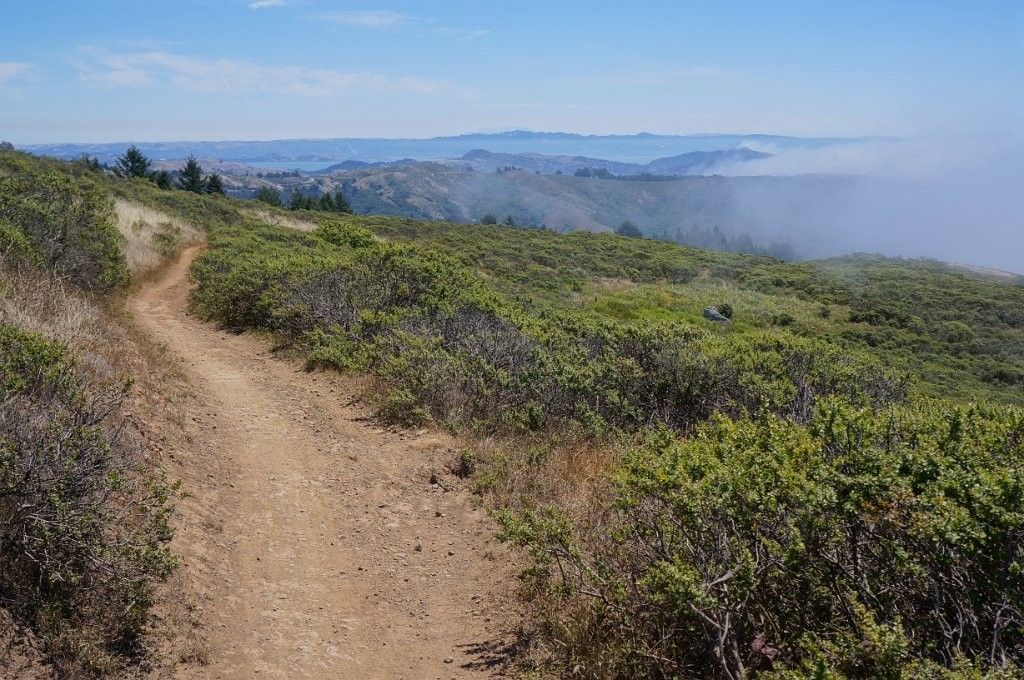
Chasing flow in the Bay Area
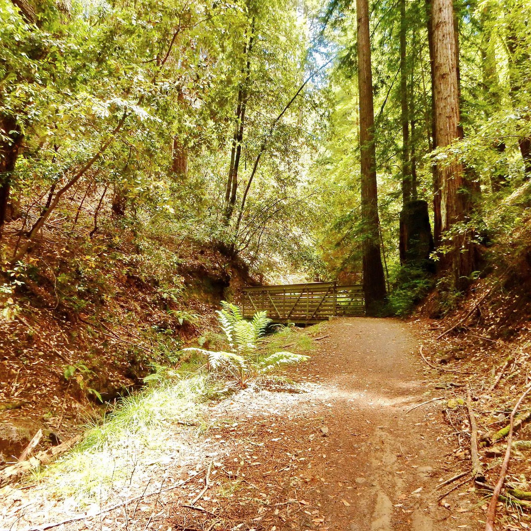
Hiking in Purisima Creek Redwoods Open Space Preserve

Road Cycling Routes in Purisima Creek Redwoods Open Space Preserve
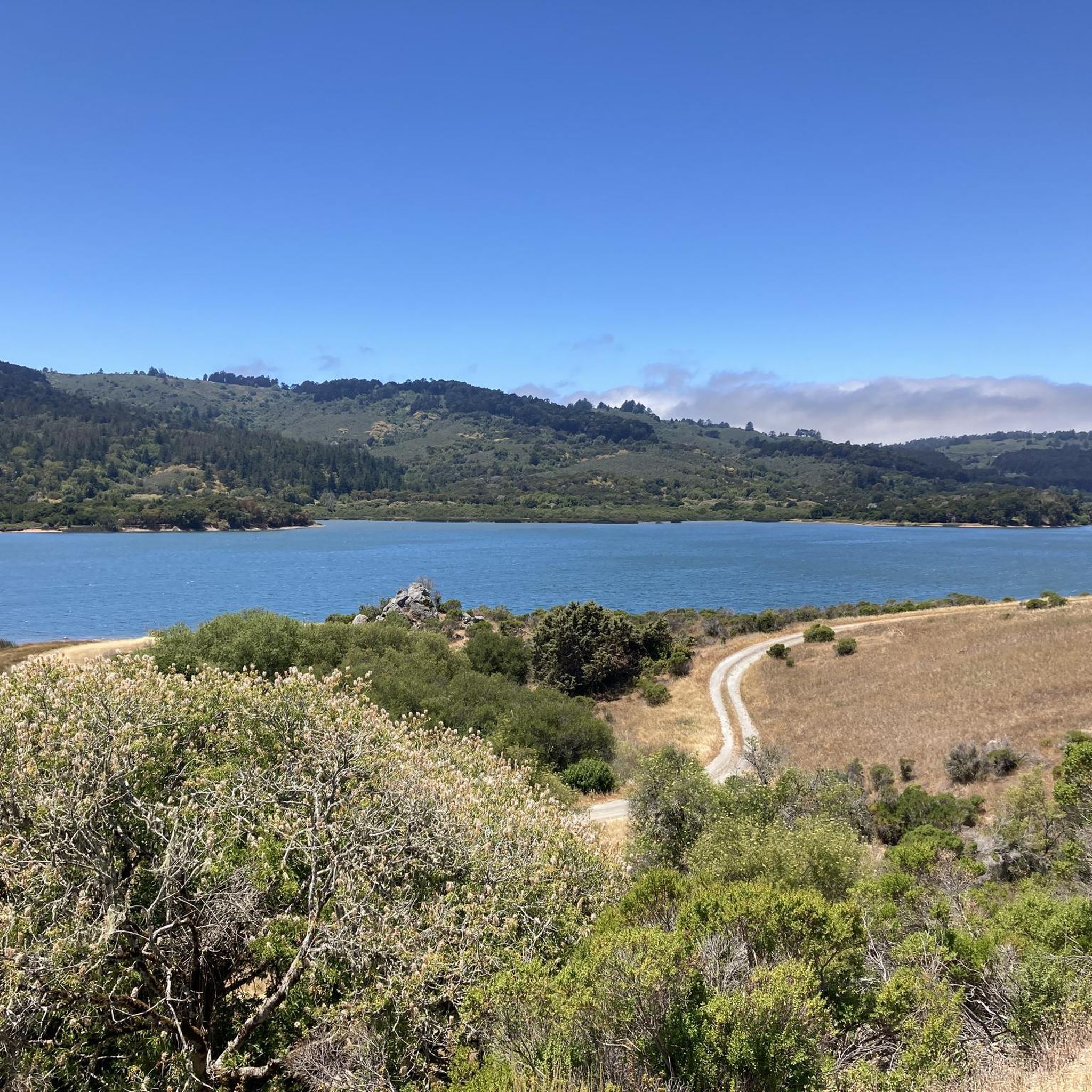
MTB Trails in Purisima Creek Redwoods Open Space Preserve
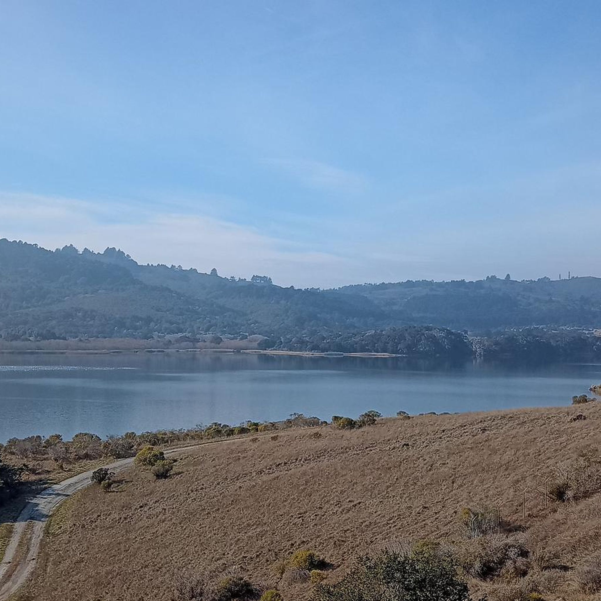
Running Trails in Purisima Creek Redwoods Open Space Preserve
Gravel biking in Purisima Creek Redwoods Open Space Preserve
Other adventures in Purisima Creek Redwoods Open Space Preserve

Tips from the Community

Alise’s Restaurant is a popular spot for both cyclists and motorcyclists. The food is good, the staff is known for being friendly, and the place has a laid-back, welcoming vibe—perfect for a post-ride meal or coffee break.
1
0
This is where La Ronda Road meets Skyline Boulevard. After the climb, it’s the perfect place to recharge and grab something to eat at one of the nearby restaurants or grocery stores. Alise's Restaurant is a popular one.
0
0

The Bike Hut is a small hut with fresh water, organic teas and coffee and a variety of snacks for cyclist passing by. It is self-serve and open 24/7. There is also a small picnic area, a bathroom and a message board for posting road conditions or notes to fellow cyclists.
0
0
Tunitas Creek Road is a popular road climb leading up to Kings Mountain. It is normally low traffic and takes you pass beautiful forest and farms.
0
0
Great view from Purisima Creek Road onto the farms leading up to Whale Bone Beach. On a clear day, you can see the Pacific from this spot.
0
0
After a long climb up Higgins Canyon Road, this is the top and end of the climbing. There is a good view of the valley and surrouding hills.
0
0

Woodside Store was built back in the 1850s by two pioneers who came to California for the gold rush. At the time it was the only stagecoach stop between San Francisco and Santa Clara, and it carried all the essential items that travelers riding between cities might need. The store has been restored, inside and out, to look exactly as it did centuries ago. You can call the museum ahead of your trip to book tours.
0
0
Frequently Asked Questions
How many touring cycling routes are available in Purisima Creek Redwoods Open Space Preserve?
There are over 60 touring cycling routes available in Purisima Creek Redwoods Open Space Preserve. These routes cater to various skill levels, from easy paths to challenging climbs.
What is the general difficulty level of touring cycling routes in Purisima Creek Redwoods Open Space Preserve?
The routes in Purisima Creek Redwoods Open Space Preserve offer a range of difficulties. You'll find approximately 14 easy routes, 23 moderate routes, and 26 difficult routes, ensuring options for different fitness levels and preferences.
When is the best time of year to go touring cycling in Purisima Creek Redwoods Open Space Preserve?
The redwood canyons in Purisima Creek Redwoods Open Space Preserve are refreshingly cool, making it an attractive destination, especially during warmer months. This provides a pleasant environment for touring cycling when other areas might be too hot.
Are there any circular touring cycling routes in the preserve?
Yes, many touring cycling routes in the preserve are designed as loops. For example, the Purisima Creek Trailhead – Top of the climb loop from offers a significant elevation change through redwood forests, while the Pulgas Water Temple loop from Pulgas Ridge Open Space Preserve provides a shorter, easier option through varied landscapes.
What natural features or landmarks can I expect to see while touring cycling in the preserve?
You can expect to cycle through towering redwood forests and hardwood forests of tanoak, madrones, and Douglas firs. Many routes also follow or offer views of the Purisima Creek Canyon, with its rushing creek and lush understory. Specific highlights include the Purisima Creek Redwoods trailhead and sections of Skyline Boulevard.
Are there specific viewpoints offering scenic vistas along the touring cycling routes?
Yes, from higher elevations within the preserve, you can enjoy spectacular views of the San Mateo County Coast and the Pacific Ocean. Trails like Harkins Ridge and Soda Gulch, and parts of Whittemore Gulch Trail, are known for their superb vistas, offering rewarding breaks during your ride.
What do other touring cyclists enjoy most about the routes in Purisima Creek Redwoods Open Space Preserve?
The area is highly rated by the komoot community, with an average score of 4.9 stars from over 50 reviews. Cyclists frequently praise the immersive experience of riding through dense redwood canopies, the serene sounds of Purisima Creek, and the dramatic coastal panoramas from higher points.
Is public transport available to access touring cycling routes in Purisima Creek Redwoods Open Space Preserve?
While the preserve offers a feeling of being wild and expansive, direct public transport options to the trailheads are limited. It's generally recommended to access the preserve by car, especially for touring cyclists with their equipment.
Are there parking facilities for touring cyclists at the preserve?
Yes, parking facilities are available at various trailheads and access points around Purisima Creek Redwoods Open Space Preserve. It's advisable to check specific trailhead information for parking availability and any potential fees before your visit.
Are there any family-friendly touring cycling routes in Purisima Creek Redwoods Open Space Preserve?
Yes, there are easy routes suitable for families. For instance, the Pulgas Water Temple loop from Pulgas Ridge Open Space Preserve is an easy 7.9-mile (12.7 km) trail that can be completed in about 45 minutes, offering a pleasant ride through varied landscapes.
What kind of terrain can I expect on touring cycling routes in the preserve?
The preserve features a diverse network of well-maintained trails and fire roads. You'll encounter everything from smooth singletrack through lush forests to steep fire roads with challenging climbs, and even some unpaved segments, catering to a variety of cycling preferences and bike types.
Are there longer, more challenging touring cycling routes for experienced riders?
Absolutely. Experienced touring cyclists can tackle routes like the Skeggs Point – San Gregorio State Beach loop from Huddart County Park, a difficult 52.8-mile (84.9 km) path with significant elevation changes and varied terrain. Another challenging option is the Tunitas Creek Road – Top of the climb loop from Huddart County Park, spanning over 40 miles.
Most popular routes in Purisima Creek Redwoods Open Space Preserve
Most popular attractions in Purisima Creek Redwoods Open Space Preserve

Get inspired with the komoot mobile app


Explore more
Browse the best Cycling routes in other regions.
