Purisima Creek Redwoods Open Space Preserve
Purisima Creek Redwoods Open Space Preserve
The best road cycling routes in Purisima Creek Redwoods Open Space Preserve
4.7
(42)
3,039
riders
55
rides
Road cycling in Purisima Creek Redwoods Open Space Preserve offers diverse terrain characterized by towering second-growth redwood groves and significant elevation changes. The preserve features the Purisima Creek Canyon, providing a lush environment for cyclists. Higher elevations and northern sections of the preserve offer expansive coastal views of Half Moon Bay and the Pacific Ocean. This region provides a variety of road cycling routes suitable for different fitness levels, from moderate to difficult.
Best road cycling routes in Purisima Creek Redwoods Open Space Preserve
- The most popular road cycling route is Skyline Trailhead & Boulevard – Purisima Creek Trailhead loop from Phleger Estate (GGNRA), a 19.5 miles (31.4 km) trail that takes 1 hour 47 minutes to complete. This route features redwood groves and notable elevation gains.
- Another top favourite among local road cyclists is Kings Mountain Road – Lower Kings Mountain Road loop from Purisima Creek Redwoods Open Space Preserve, a moderate 10.8 miles (17.4 km) path. This route includes challenging climbs through forested areas.
- Local road cyclists also love the Lobitos Creek Road – Higgins Canyon Road loop from Skeggs Point, a 36.2 miles (58.3 km) trail leading through varied terrain with coastal views, often completed in about 3 hours 14 minutes.
- Road cycling in Purisima Creek Redwoods Open Space Preserve is defined by towering redwood groves, significant elevation changes, and coastal views. The network offers options for different ability levels, from moderate to difficult.
- The routes in Purisima Creek Redwoods Open Space Preserve are highly rated by the komoot community with an average score of 4.6 stars from more than 40 reviews. Nearly 3,000 road cyclists have used komoot to explore Purisima Creek Redwoods Open Space Preserve's varied terrain.
Last updated: July 9, 2026
25
riders
Moderate road ride. Good fitness required. Some segments of this route may be unpaved and difficult to ride.
38
riders
Moderate road ride. Good fitness required. Mostly well-paved surfaces and easy to ride.

Sign up for free
84
riders
60.2km
03:20
1,210m
1,210m
Hard road ride. Very good fitness required. Mostly well-paved surfaces and easy to ride.
8
riders
11.4km
00:31
90m
90m
Moderate road ride. Great for any fitness level. Some segments of this route may be unpaved and difficult to ride.
9
riders
7.47km
00:19
60m
60m
Easy road ride. Great for any fitness level. Mostly well-paved surfaces and easy to ride.
Get access to more routes and recommendations from other explorers.
Sign up for free
Already have an account?
Our route recommendations are based on thousands of hikes, rides, and runs completed by other people on komoot.
Start today with a free account
Your next adventure awaits.
Login or Signup
Popular around Purisima Creek Redwoods Open Space Preserve

Chasing flow in the Bay Area
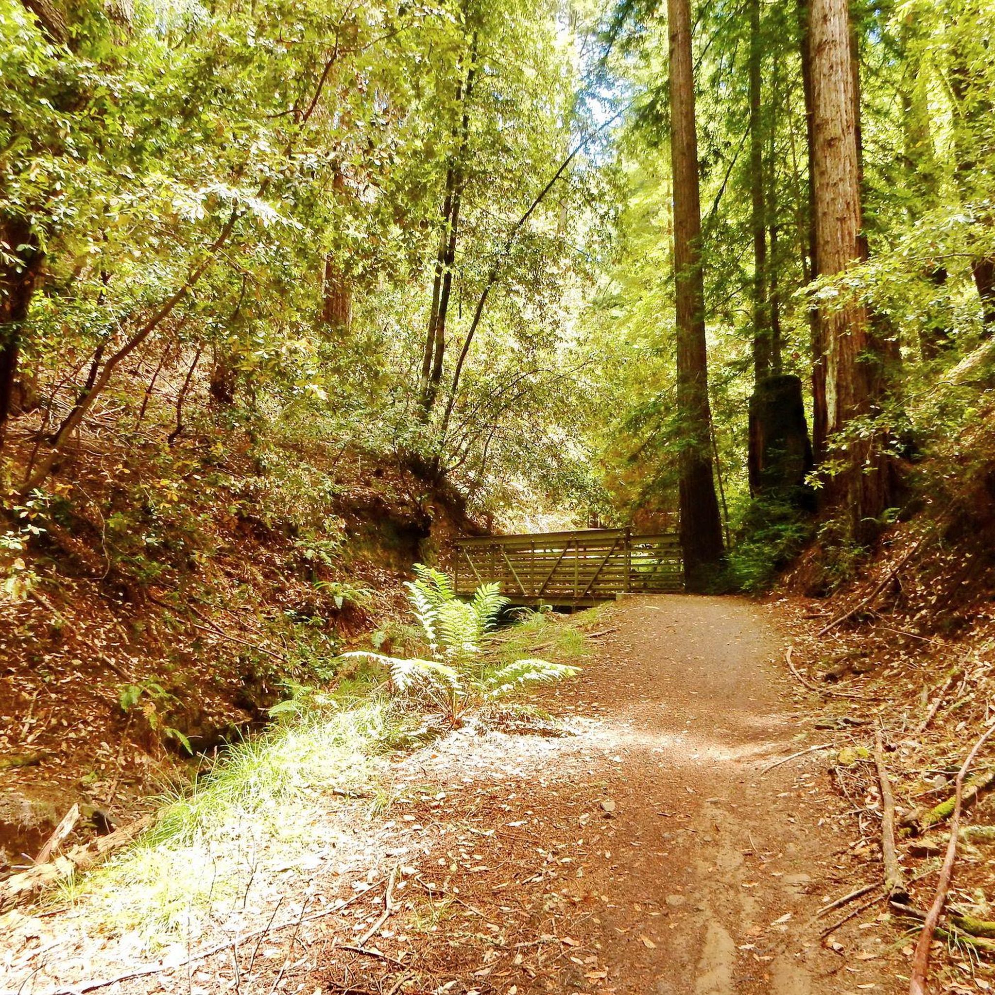
Hiking in Purisima Creek Redwoods Open Space Preserve
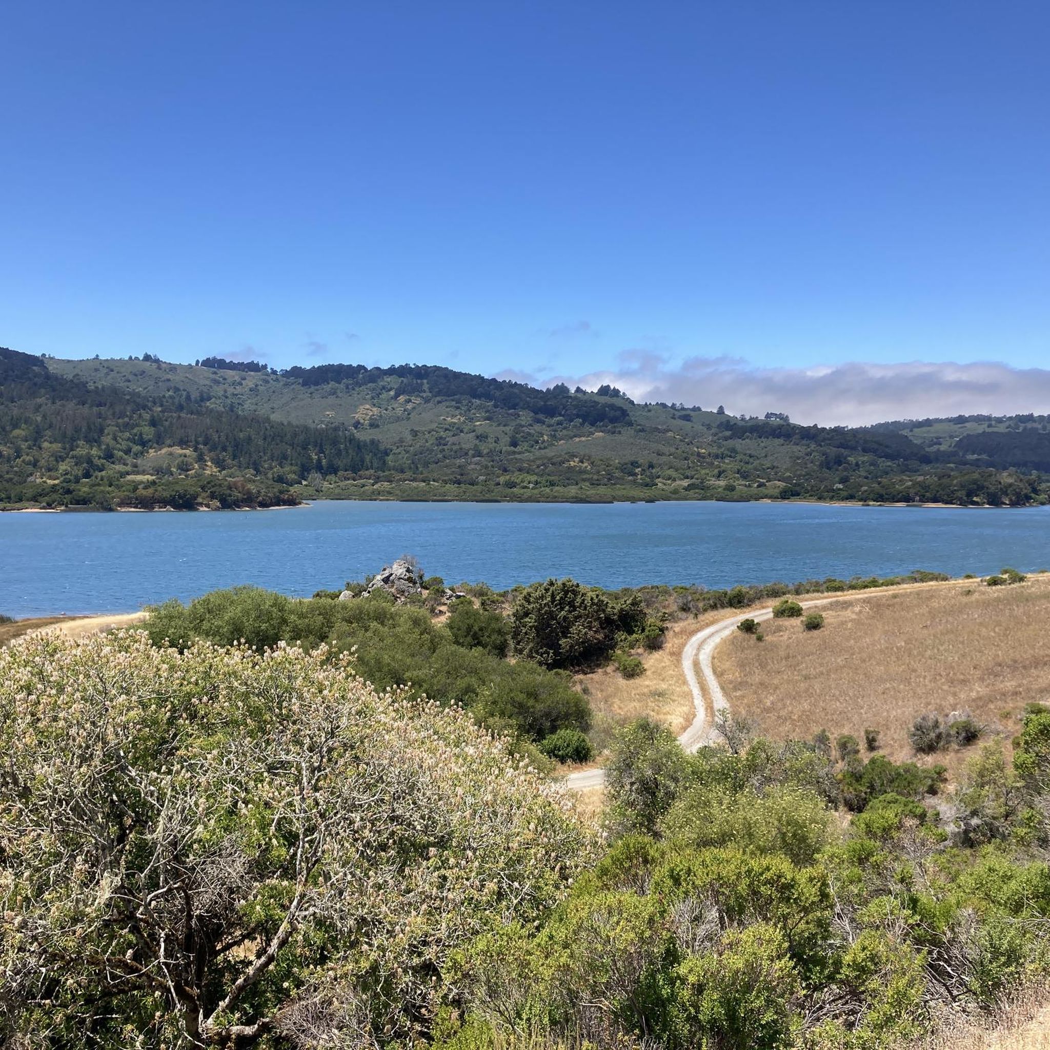
MTB Trails in Purisima Creek Redwoods Open Space Preserve
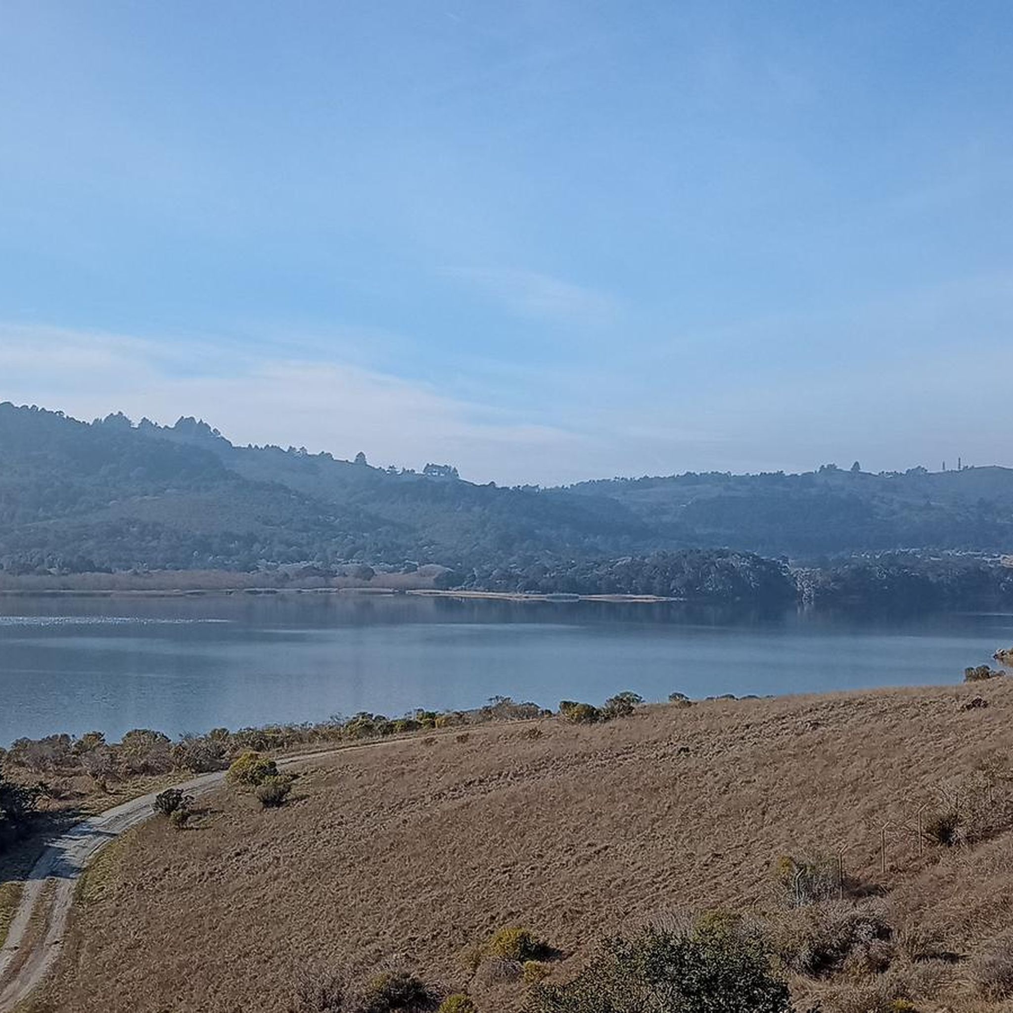
Running Trails in Purisima Creek Redwoods Open Space Preserve
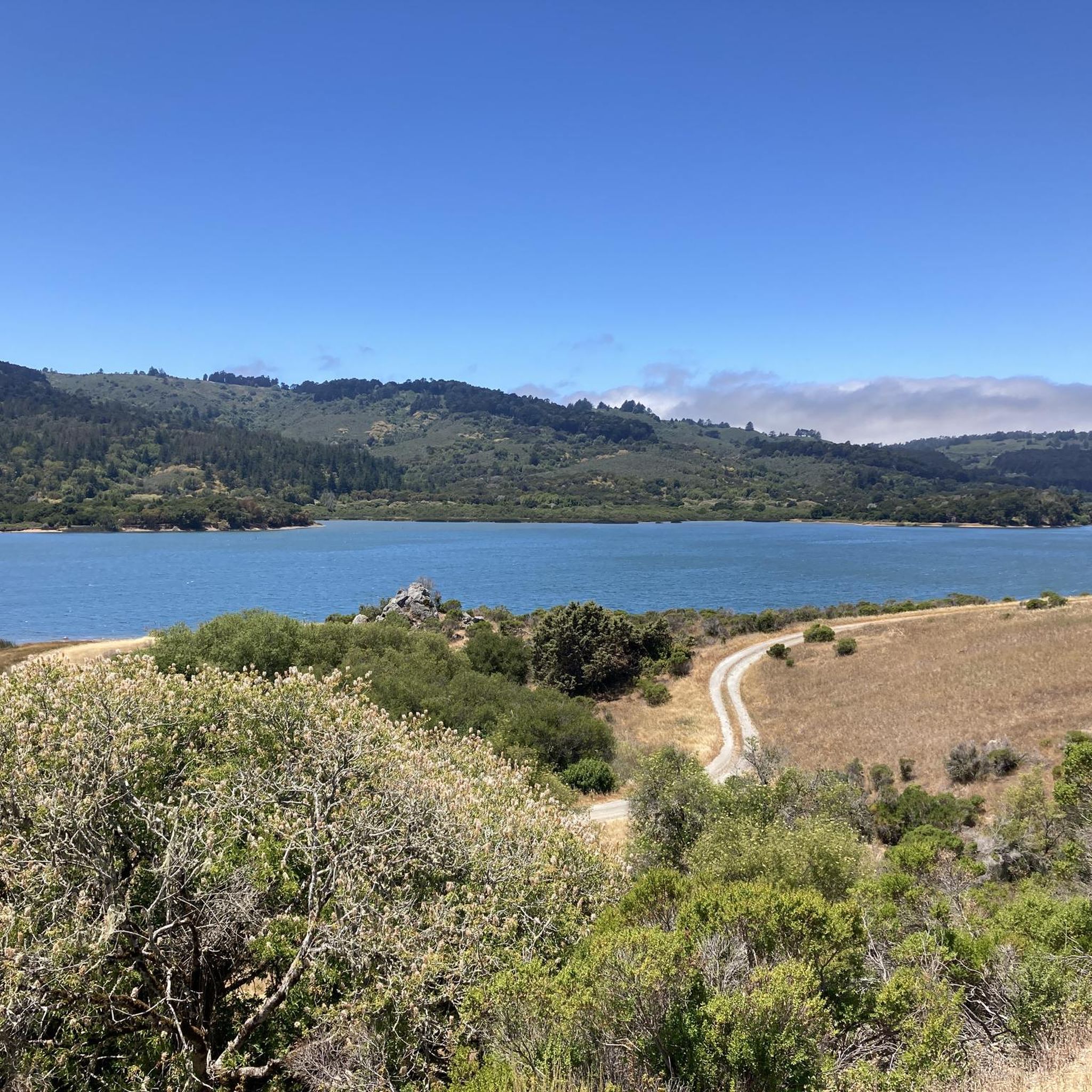
Cycling in Purisima Creek Redwoods Open Space Preserve
Gravel biking in Purisima Creek Redwoods Open Space Preserve
Other adventures in Purisima Creek Redwoods Open Space Preserve

Tips from the Community

A fun, pretty place to stop while riding Cañada road. I has water and an air pump and bathrooms. Take a photo with friends.
0
0

The Bike Hut is a small hut with fresh water, organic teas and coffee and a variety of snacks for cyclist passing by. It is self-serve and open 24/7. There is also a small picnic area, a bathroom and a message board for posting road conditions or notes to fellow cyclists.
0
0

You're not hallucinating: This monument was deliberately built in the style of ancient Greek and Roman architecture, to commemorate the Great Depression-era Hetchy Hetchy Project that brought water down from the mountains to the Bay Area. The frieze says, “I give waters in the wilderness and rivers in the desert, to give drink to my people.”
1
0

Woodside Store was built back in the 1850s by two pioneers who came to California for the gold rush. At the time it was the only stagecoach stop between San Francisco and Santa Clara, and it carried all the essential items that travelers riding between cities might need. The store has been restored, inside and out, to look exactly as it did centuries ago. You can call the museum ahead of your trip to book tours.
0
0
There are a handful of trails here which treat you to views of the foothills across the reservoir. Upper Crystal Springs Reservoir provides water to the San Francisco Peninsula, and you can bike along its entire eastern shoreline.
0
0

Crystal Springs Reservoir, nestled in the northern Santa Cruz Mountains, consists of two artificial lakes formed along the San Andreas Fault and is ideal for hiking and wildlife viewing. Originally named Laguna Grande, the southern lake was submerged to create Upper Crystal Springs Reservoir in 1877, while Lower Crystal Springs Reservoir was formed by the construction of Crystal Springs Dam in 1888. Although no water activities are allowed, visitors can enjoy the reservoir’s natural setting and spot local wildlife, including bald eagles.
0
0
Purisima Creek Trailhead features a fence separating the trail from the road and a small pit toilet at the base. Parking is available just 250 feet southeast along Skyline Boulevard. This trail offers everything, from stunning views to towering redwoods, fern-filled canyons, and creeks. Riding through the redwoods is a unique experience.
0
0
Frequently Asked Questions
How many road cycling routes are available in Purisima Creek Redwoods Open Space Preserve?
There are over 50 road cycling routes in Purisima Creek Redwoods Open Space Preserve, offering a diverse range of options for cyclists. These routes are highly rated by the komoot community, with an average score of 4.6 stars.
What kind of terrain can I expect on road cycling routes in Purisima Creek Redwoods?
The preserve offers diverse terrain characterized by towering second-growth redwood groves and significant elevation changes. You'll encounter challenging climbs and exhilarating descents, with some rides involving up to 3,000 feet of elevation gain. Many routes feature well-paved surfaces, and the Purisima Creek Canyon provides a lush environment.
What are the typical difficulty levels for road cycling routes here?
Road cycling routes in Purisima Creek Redwoods cater to various fitness levels, ranging from moderate to difficult. Approximately 15 routes are considered easy, 25 are moderate, and 10 are difficult, ensuring options for different abilities.
Are there any road cycling routes with coastal views?
Yes, higher elevations and northern sections of the preserve offer spectacular coastal views, including expansive vistas of Half Moon Bay and the Pacific Ocean. For example, the Lobitos Creek Road – Higgins Canyon Road loop from Skeggs Point leads through varied terrain with coastal views.
What natural features or landmarks can I see while road cycling in Purisima Creek Redwoods?
While road cycling, you'll experience towering second-growth redwood groves and the lush Purisima Creek Canyon. You might also spot remnants of the ancient forest in the form of large stumps. Notable points of interest include the Purisima Creek Redwoods trailhead and sections of Skyline Boulevard.
Are there any circular road cycling routes in the preserve?
Yes, many routes in Purisima Creek Redwoods Open Space Preserve are designed as loops. Popular examples include the Skyline Trailhead & Boulevard – Purisima Creek Trailhead loop from Phleger Estate (GGNRA) and the Kings Mountain Road – Lower Kings Mountain Road loop from Purisima Creek Redwoods Open Space Preserve.
What is the best time to visit Purisima Creek Redwoods for road cycling?
The preserve's redwood groves create a refreshingly cool environment, especially during summer, making it an excellent destination for road cycling year-round. However, conditions can vary, so it's always good to check local weather forecasts before your ride.
Is parking available for road cyclists at Purisima Creek Redwoods Open Space Preserve?
Yes, parking is generally available at various trailheads and access points around the preserve. Specific parking details can often be found on individual route descriptions or on the official preserve website.
Can I reach Purisima Creek Redwoods Open Space Preserve by public transport?
While public transport options directly to the preserve's trailheads may be limited, it's advisable to check local transit authority websites for the most current information on bus routes or other services that might connect to the area.
Are permits required for road biking in Purisima Creek Redwoods?
Generally, permits are not required for road cycling on designated public roads within or bordering Purisima Creek Redwoods Open Space Preserve. However, it's always recommended to check the official Midpeninsula Regional Open Space District website for any specific regulations or updates before your visit.
What do other road cyclists enjoy most about the routes in Purisima Creek Redwoods Open Space Preserve?
The area is highly rated by the komoot community, with an average score of 4.6 stars from over 40 reviews. Cyclists often praise the stunning redwood groves, the challenging yet rewarding elevation changes, and the beautiful coastal views from higher sections.
Are there road cycling routes suitable for beginners or those seeking less challenging rides?
Yes, the preserve offers approximately 15 routes classified as 'easy'. While the region is known for significant elevation changes, these routes provide a gentler introduction to road cycling in the area, allowing riders to enjoy the scenery without overly strenuous climbs.
What are some challenging road cycling routes for experienced riders?
For experienced riders seeking a challenge, there are about 10 routes classified as 'difficult'. These often feature significant elevation gains, sometimes up to 3,000 feet, and longer distances. The Lobitos Creek Road – Higgins Canyon Road loop from Skeggs Point, for instance, is a difficult 36.2-mile route with over 1,100 meters of elevation gain.
Most popular routes in Purisima Creek Redwoods Open Space Preserve
Most popular attractions in Purisima Creek Redwoods Open Space Preserve

Get inspired with the komoot mobile app


Explore more
Browse the best Road cycling routes in other regions.
