The best running trails in Vargas Plateau Regional Park
4.5
(13)
895
runners
70
runs
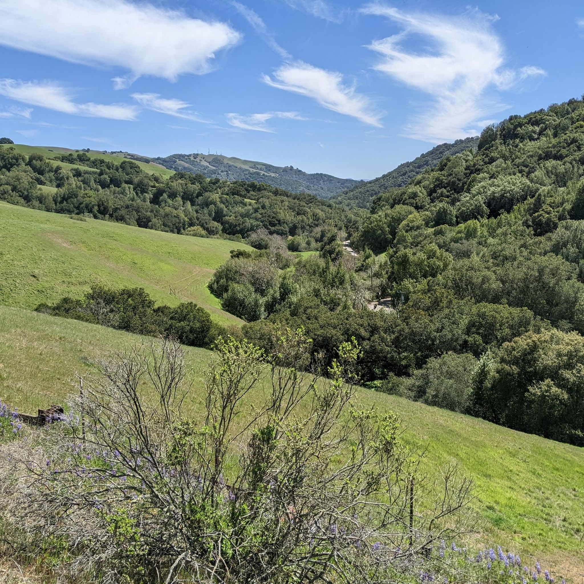
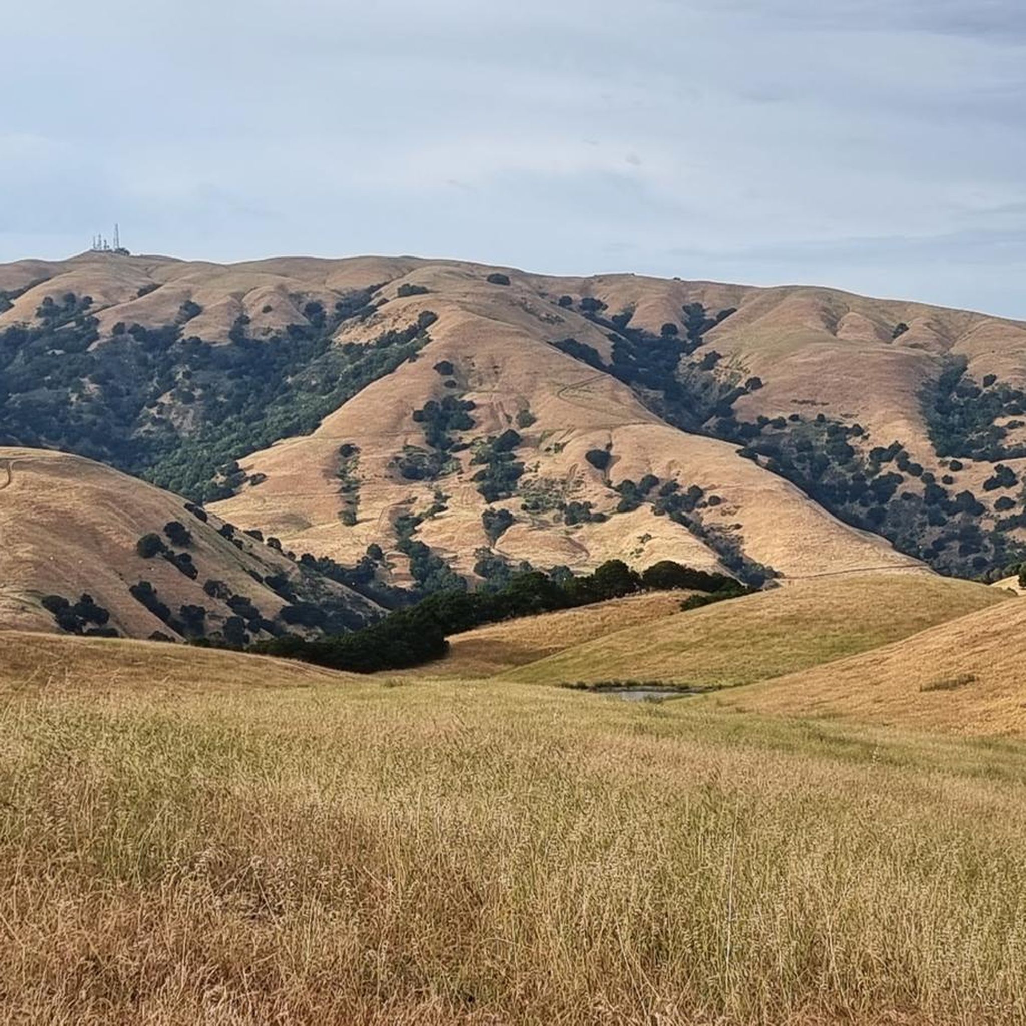
Jogging in Vargas Plateau Regional Park offers diverse routes across a 1,000-foot-high plateau in the Fremont Hills. The landscape features rolling grasslands, oak woodlands, and grass-covered hills, interspersed with small canyons. Trails provide varied elevation changes, from gradual inclines to steep ascents, and offer panoramic views of the East Bay cities and San Francisco Bay. This expansive park provides a natural setting for runners seeking varied terrain.
Best jogging routes in Vargas Plateau Regional Park
- The most popular jogging route…
Last updated: July 7, 2026
30
runners
13.1km
01:24
30m
30m
The Alameda Creek Regional Trail offers a wonderfully diverse jogging experience, following the tranquil Alameda Creek through marshlands and past farmlands. You'll find a unique dual-path system here, with a…
1
runners
6.19km
00:41
120m
120m
The Upper Ranch and Golden Eagle Loop offers a fantastic jogging experience, winding through diverse landscapes typical of California's inner coast ranges. You'll encounter grasslands, seasonal wetlands, and oak woodlands,…

Sign up for free
7
runners
9.01km
01:12
330m
330m
Hard run. Very good fitness required. Mostly paved surfaces. Suitable for all skill levels.
4.0
(1)
87
runners
Moderate run. Good fitness required. Mostly paved surfaces. Suitable for all skill levels.
5.0
(1)
31
runners
9.60km
00:59
20m
20m
Moderate run. Good fitness required. Mostly paved surfaces. Suitable for all skill levels.
Get access to more routes and recommendations from other explorers.
Sign up for free
Already have an account?
Our route recommendations are based on thousands of hikes, rides, and runs completed by other people on komoot.
Start today with a free account
Your next adventure awaits.
Login or Signup
Tips from the Community

There is a lovely paved trail that runs the perimeter of Lake Elizabeth and offers views to Duck Island. The lake is surrounded by Central Park's many sports fields and green areas, which also have a great network of paved running trails to explore.
0
0

The Alameda Creek Trail follows the creek with the same name through Freemont. The multiuse trail is mostly paved, but there are some sections with gravel. The path is popular with cyclists, runners and walkers, so make sure you are respectful to other trail users.
0
0
The Upper Ranch Trail is a moderately challenging trail in Vargas Plateau Regional Park. The path passes through grasslands and across creaks and gives you great views of the mountains in the area.
0
0

The Vargas Plateau is a very good example of nature at the gates of the city. At the top of the plateau you overlook Niles Canyon, Fremont, Union City, Newark and the San Francisco Bay.
0
0

Lake Elizabeth is a lovely man-made lake located in the Central Park of Fremont.
0
0

Diverse network of paved and gravel trails throughout this large park in a former gravel mining area, with trail connections to further parks nearby
2
0
Excellent dedicated bike trail avoiding roads, following the rail line through Fremont Central Park.
0
0
Frequently Asked Questions
How many running routes are available in Vargas Plateau Regional Park?
Vargas Plateau Regional Park offers a wide selection of running routes. You can find over 60 routes suitable for jogging, ranging from easy paths to more challenging trails with significant elevation changes.
What kind of terrain and elevation changes can I expect on the running trails?
The park's trails feature diverse terrain, including rolling grasslands, oak woodlands, and grass-covered hills, often interspersed with small canyons. You'll encounter a variety of elevation changes, from gradual inclines to steep ascents, with some trails gaining over 800 feet in just one mile. This variety allows runners to choose routes based on their desired intensity.
Are there any running routes with panoramic views?
Yes, a significant draw for runners in Vargas Plateau Regional Park is the breathtaking panoramic views. From the plateau, you can overlook the East Bay cities, Niles Canyon, Sunol Peak, Fremont, Union City, Newark, and the San Francisco Bay. The high points of the park, including segments of the Bay Area Ridge Trail, offer particularly expansive vistas of the Bay Area.
Is Vargas Plateau Regional Park suitable for families with children who enjoy running?
While the park offers diverse trails, some routes can be quite challenging with steep climbs. For families, consider easier, flatter options. The park's open, exposed terrain means little shade, so plan family runs during cooler parts of the day or year. Always bring plenty of water, as there is no drinking water available in the park.
Can I bring my dog on the running trails in Vargas Plateau Regional Park?
The region research indicates that Vargas Plateau Regional Park is generally dog-friendly, but specific rules regarding leashes and waste disposal should always be observed. It's advisable to check the official park regulations before your visit to ensure a pleasant experience for both you and your dog.
Are there any circular running routes in the park?
Yes, the park features several circular routes. For example, the Upper Ranch and Golden Eagle Loop is a popular 3.8-mile circular route that showcases diverse habitats and a scenic viewpoint. Another option is the Elizabeth Lake (south side) – Lake Elizabeth loop from California School for the Deaf, which is a 3.3-mile loop through urban parkland.
What natural features or wildlife might I encounter while running?
Vargas Plateau Regional Park is rich in natural features, including rolling grasslands, oak woodlands, seasonal wetlands, stock ponds, and coastal scrublands. These habitats support a variety of wildlife such as hawks, golden eagles, deer, bobcats, frogs, snakes, newts, salamanders, coyotes, and ground squirrels. In spring, the hills are adorned with wildflowers like California poppies, making it an especially scenic time to visit.
What is the best time of year to go running in Vargas Plateau Regional Park?
Spring is an especially scenic time to visit, with green hills and wildflowers. However, the terrain is mostly open and exposed with little shade, so hot summer days may not be ideal for running. Cooler months and early mornings or late afternoons are generally more comfortable for runs.
Where can I park my car when visiting the park for a run?
The park provides designated parking areas for visitors. Specific trailheads often have associated parking lots. It's recommended to check a park map or official website for the most current information on parking locations and access points before your visit.
What do other runners appreciate most about the trails here?
The running routes in Vargas Plateau Regional Park are highly rated by the komoot community, with an average score of 4.3 stars from 9 reviews. Runners often praise the diverse habitats, varied elevation changes, and especially the breathtaking panoramic views of the Bay Area from the plateau.
Are there any easy running routes for beginners in the park?
Yes, there are routes suitable for beginners. For instance, the Shinn Pond – Shinn Pond loop from Niles Essanay Silent Film Museum is rated as easy and covers about 3.1 miles (4.9 km). While the park has many moderate and difficult options, you can find gentler paths to start with.
Are there longer running options for more experienced runners?
Experienced runners looking for longer distances can explore routes like the Alameda Creek Regional Trail, which is a moderate 8.1 miles (13.1 km) path offering a relatively flat and extended running experience. The park's network of trails allows for combining segments to create longer, more challenging runs.
Are there any specific points of interest or landmarks to look out for along the routes?
While running, you'll encounter diverse landscapes such as rolling grasslands and oak woodlands. The park's highest lookout point, at 1188 feet, offers expansive views. Keep an eye out for seasonal wetlands and stock ponds, which attract various wildlife. The trails themselves, many of which are old ranch roads, offer a glimpse into the area's pastoral charm.
Most popular routes in Vargas Plateau Regional Park

Get inspired with the komoot mobile app


Explore more
Browse the best Running Trails & Routes in other regions.
