The best road cycling routes in Vargas Plateau Regional Park
4.6
(77)
2,795
riders
77
rides
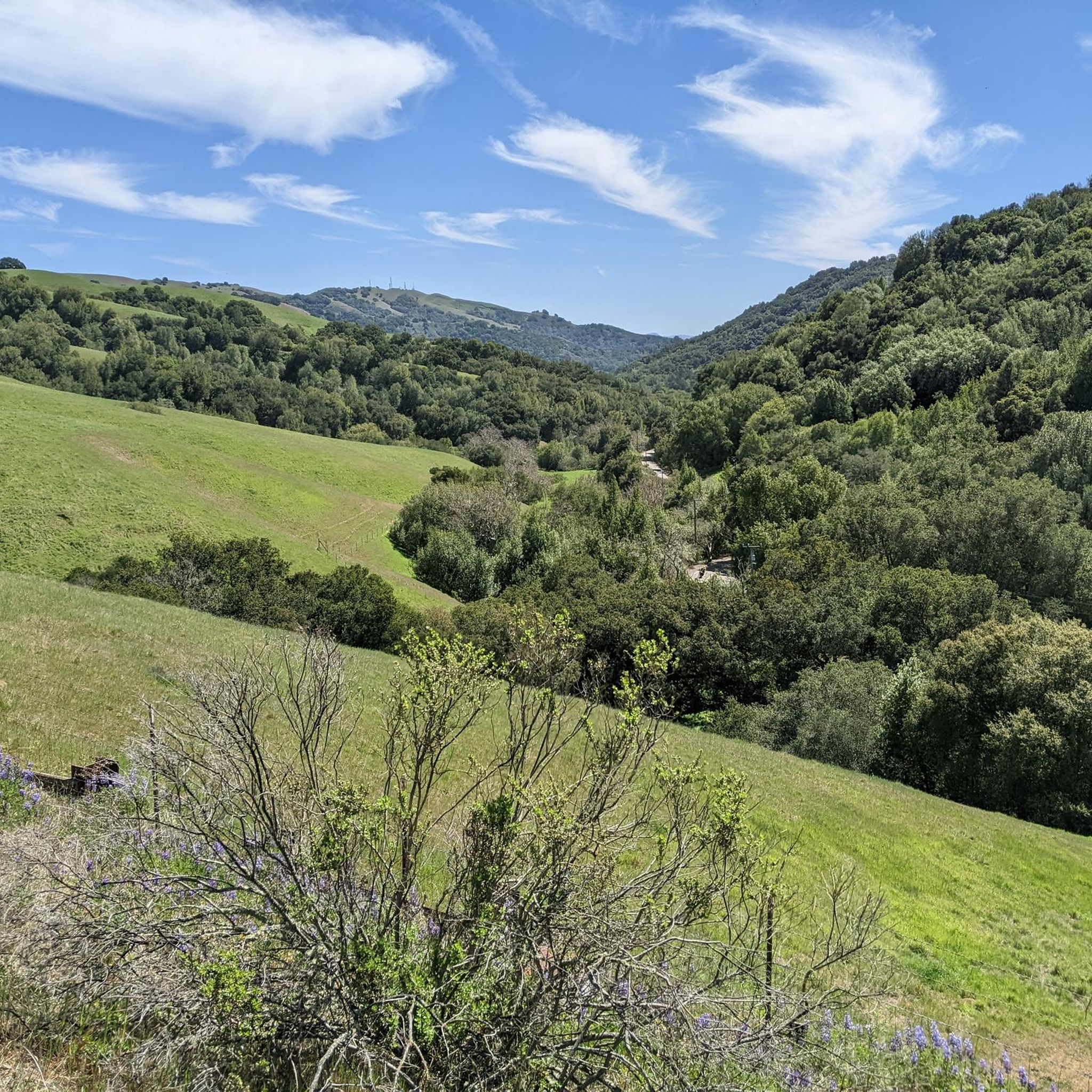
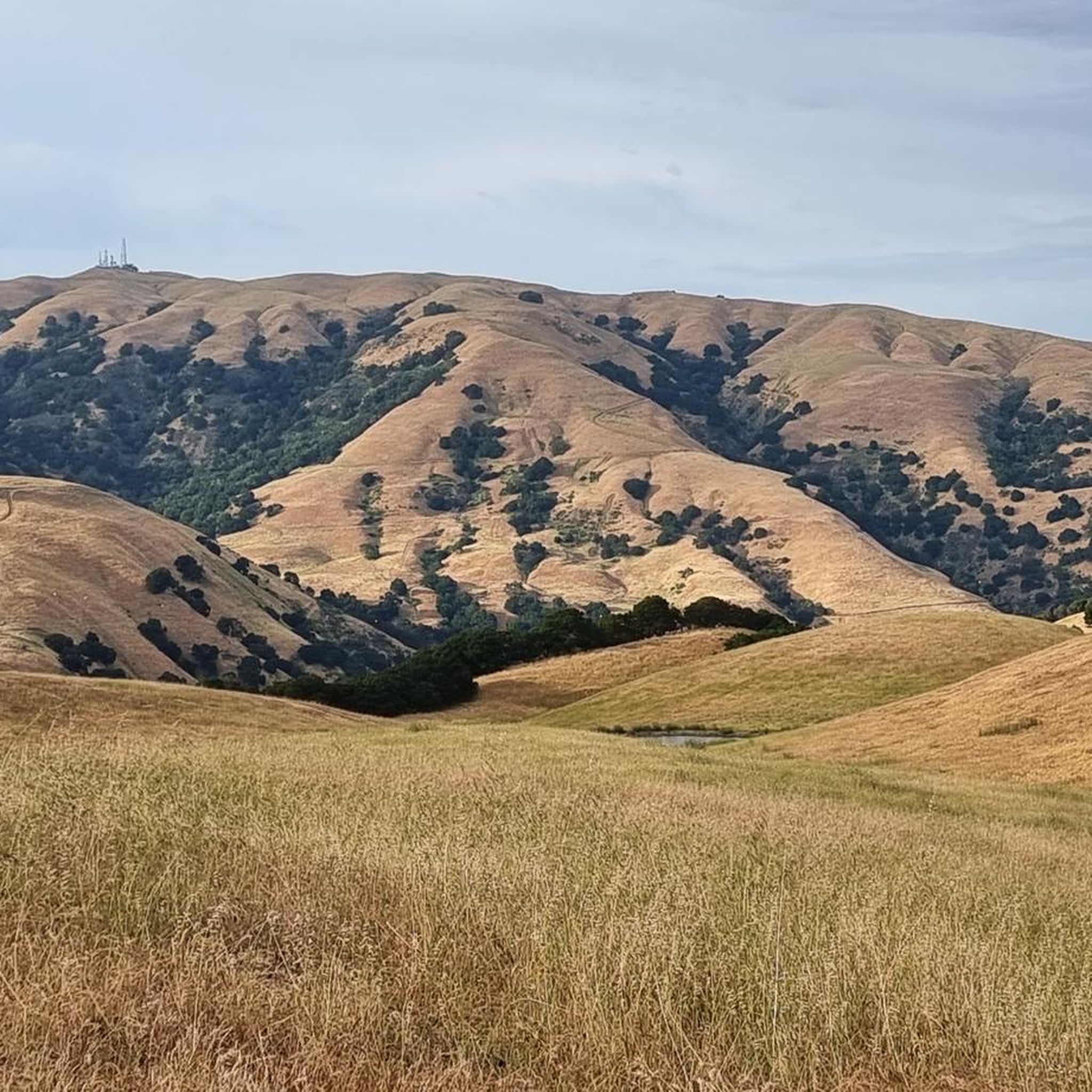
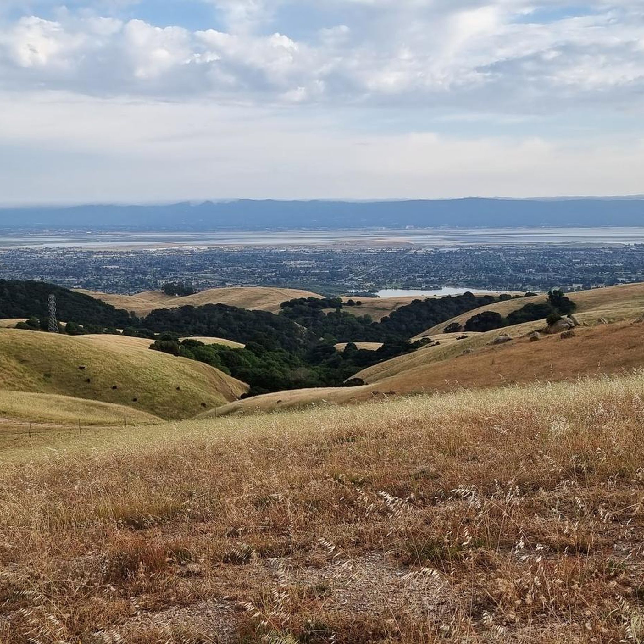
Road cycling in Vargas Plateau Regional Park offers diverse landscapes and elevation changes within the Fremont hills. The region features grasslands, oak woodlands, and distinctive rock outcrops, providing varied scenery for cyclists. While some internal trails are unpaved fire roads, specific routes cater to road cycling, including paved sections and mixed-surface options. Cyclists can experience significant elevation gains, reaching approximately 1,000 feet, which provides panoramic views of the San Francisco Bay and surrounding areas.
Best road cycling routes in Vargas…
Last updated: July 8, 2026
7
riders
Easy road ride. Great for any fitness level. Mostly well-paved surfaces and easy to ride.
5.0
(3)
85
riders
Easy road ride. Great for any fitness level. Mostly well-paved surfaces and easy to ride.

Sign up for free
18
riders
17.8km
00:42
60m
60m
Easy road ride. Great for any fitness level. Mostly well-paved surfaces and easy to ride.
5.0
(3)
157
riders
61.2km
02:42
560m
560m
Moderate road ride. Good fitness required. Mostly well-paved surfaces and easy to ride.
5.0
(5)
172
riders
39.0km
01:35
130m
130m
Easy road ride. Great for any fitness level. Mostly well-paved surfaces and easy to ride.
Get access to more routes and recommendations from other explorers.
Sign up for free
Already have an account?
Our route recommendations are based on thousands of hikes, rides, and runs completed by other people on komoot.
Start today with a free account
Your next adventure awaits.
Login or Signup
Tips from the Community

Nestled in Fremont just north of San Jose, Old Mission San José, originally built by the Spanish in 1797, was painstakingly restored after decades of neglect. Visitors can step into history as they tour the original doors of the 1809 adobe church. Guided and self‑guided tours, the former being led by knowledgeable docents, bring the Rancho to life.
0
0

Calfateras road begins by a robust climb, and then it changes to a series of switchbacks with spectacular views to the reservoir and surrounding park. The switchbacks alternate between downhill and moderate climbs, before a long downhill and flat terrain.
0
0

Riding south on Felter road from Calaveras after doing Polamares and and Calaveras Roads was a real challenge, especially since it was my first time! Get something to fuel up on at the Sunol Little Store!
0
0
This small picnic area right next to the trail is the perfect spot for a shady break on your ride.
0
0

The San Francisco Bay Trail is a long bike route, and the Alameda Creek section is a nice, paved part of it. This segment is just one part of the extensive 500-mile trail that encompasses the Bay Area. Cyclists can enjoy a smooth ride along the Alameda Creek section.
0
0
The Ohlone Indian Cemetery, located in Fremont, is open daily from 8:00 a.m. to 6:00 p.m. This land, given back to the Ohlone Indians in the 1960s by the Bishop of Oakland, is where the cemetery is now. Many Ohlone tribe members, who did not join the mission and remained outside, suffered from European diseases like chickenpox. The area is fenced off from public access. The cemetery holds historical significance as it reflects the Native American ownership of the land before the establishment of the Spanish mission in the Fremont area.
0
0
At this junction, head south 300 feet past the parking lot to the Coyote Hills Regional Park Visitor Center. Here, visitors can find bathrooms, picnic areas, water fountains, and the Coyote Hills Nectar Garden. Check out the educational center to learn about the natural landscape and marshland.
0
0
Bayview Trail is a great multi use trail, paved for road biking, running, and walking. Good weather permits it being open year-round and it is a dog friendly trail. Enjoy the greenery to the east and the bay to the west.
0
0
Frequently Asked Questions
How many road cycling routes are available in Vargas Plateau Regional Park?
There are over 60 road cycling routes in Vargas Plateau Regional Park. These routes offer a variety of experiences, with 32 considered easy, 22 moderate, and 10 difficult, ensuring options for all skill levels.
What is the typical difficulty and elevation gain for road cycling routes in Vargas Plateau Regional Park?
Road cycling routes in Vargas Plateau Regional Park vary significantly in difficulty and elevation. While some routes, like the Alameda Creek Trail loop, are easy with minimal elevation gain, others, such as the Calaveras Road loop, include significant elevation changes, offering a challenging workout with nearly a thousand feet of gain and loss. The park's terrain provides options from gentle rides to more strenuous climbs.
Are there any paved roads suitable for road biking within Vargas Plateau Regional Park?
While many internal trails in Vargas Plateau Regional Park are unpaved fire roads better suited for mountain or gravel bikes, Morrison Canyon Road is a notable exception. It is blocked off from vehicular traffic and open to cyclists, offering a unique paved or mixed-surface experience. This road is also almost fully shaded, providing a comfortable ride during warmer days.
What kind of scenic viewpoints can I expect along the road cycling routes?
Vargas Plateau Regional Park, situated at an elevation of approximately 1,000 feet, offers sweeping panoramic views. Cyclists can enjoy stunning vistas of the San Francisco Bay, Niles Canyon, Fremont, Union City, and Newark. The routes also traverse diverse landscapes including grasslands, oak woodlands, and coastal scrublands, providing a visually rewarding experience.
Is Vargas Plateau Regional Park suitable for family-friendly road cycling?
Yes, there are family-friendly options for road cycling. Routes like the Alameda Creek Trail – Alameda Creek Trail loop are considered easy with minimal elevation gain, making them suitable for families. These routes often follow flatter terrain, providing a pleasant experience for cyclists of all ages.
What is the best time of year to go road cycling in Vargas Plateau Regional Park?
Spring is an excellent time for road cycling in Vargas Plateau Regional Park. During this season, the hills are vibrant with green foliage and dotted with California poppies and other wildflowers, enhancing the scenic beauty. The weather is generally mild, making for comfortable riding conditions.
What do other road cyclists enjoy most about road cycling in Vargas Plateau Regional Park?
The area is highly rated by the komoot community, with an average score of 4.7 stars from over 50 reviews. Cyclists often praise the diverse landscapes, from grasslands to oak woodlands, and the panoramic views of the San Francisco Bay. The variety of routes, from easy loops along Alameda Creek to challenging climbs like the Calaveras Road loop, is also frequently highlighted.
Are there any loop options for road cyclists in the park?
Yes, there are several loop options available for road cyclists. For instance, the Alameda Creek and Coyote Hills Loop offers a 24.3-mile ride through coastal scrublands with Bay views. Another popular choice is the Calaveras Road loop, which provides a longer, more challenging experience with significant elevation changes.
Where can I find parking for road cycling routes in Vargas Plateau Regional Park?
While specific parking details for each route may vary, general access points to the park and surrounding areas typically offer parking. It's advisable to check the starting point of your chosen komoot route, such as the Lake Elizabeth loop from Fremont, for precise parking information.
Are there any nearby cafes or restaurants for cyclists after a ride?
Vargas Plateau Regional Park is located near Fremont, which offers a variety of cafes, restaurants, and accommodation options. After your ride, you can explore the dining establishments in Fremont for refreshments and meals.
Can I connect to other long-distance cycling trails from Vargas Plateau Regional Park?
Yes, the park offers the ability to connect with sections of the Bay Area Ridge Trail, which further expands cycling opportunities for longer distances. Additionally, routes like the San Francisco Bay Trail: Dumbarton Bridge Loop are accessible nearby, providing extensive cycling options.
Most popular routes in Vargas Plateau Regional Park

Get inspired with the komoot mobile app


Explore more
Browse the best Road cycling routes in other regions.
