The best running trails in Ohlone Wilderness Trail Permit Area
3.8
(4)
471
runners
41
runs
Jogging in Ohlone Wilderness Trail Permit Area offers a challenging experience across diverse natural landscapes. The region is characterized by significant elevation changes, including demanding ascents and descents, traversing rolling hills and narrow single tracks. Extensive oak woodlands and open meadows provide varied scenery for runners. This area connects Del Valle Regional Park with Mission Peak Regional Preserve, offering lengthy routes with panoramic views.
Best jogging routes in Ohlone Wilderness Trail Permit Area
- The most popular jogging route is Little…
Last updated: June 24, 2026
1
runners
6.68km
00:56
220m
220m
Moderate run. Good fitness required. Mostly paved surfaces. Suitable for all skill levels.
1
runners
16.1km
02:14
630m
630m
Hard run. Very good fitness required. Mostly paved surfaces. Suitable for all skill levels.

Sign up for free
4.84km
00:44
250m
250m
Moderate run. Good fitness required. Mostly paved surfaces. Suitable for all skill levels.
1
runners
6.06km
00:51
220m
220m
Moderate run. Good fitness required. Mostly paved surfaces. Suitable for all skill levels.
63
runners
10.0km
01:25
620m
620m
Hard run. Very good fitness required. Mostly accessible paths. Some sure footedness required.
Get access to more routes and recommendations from other explorers.
Sign up for free
Already have an account?
Our route recommendations are based on thousands of hikes, rides, and runs completed by other people on komoot.
Start today with a free account
Your next adventure awaits.
Login or Signup
Popular around Ohlone Wilderness Trail Permit Area
Tips from the Community

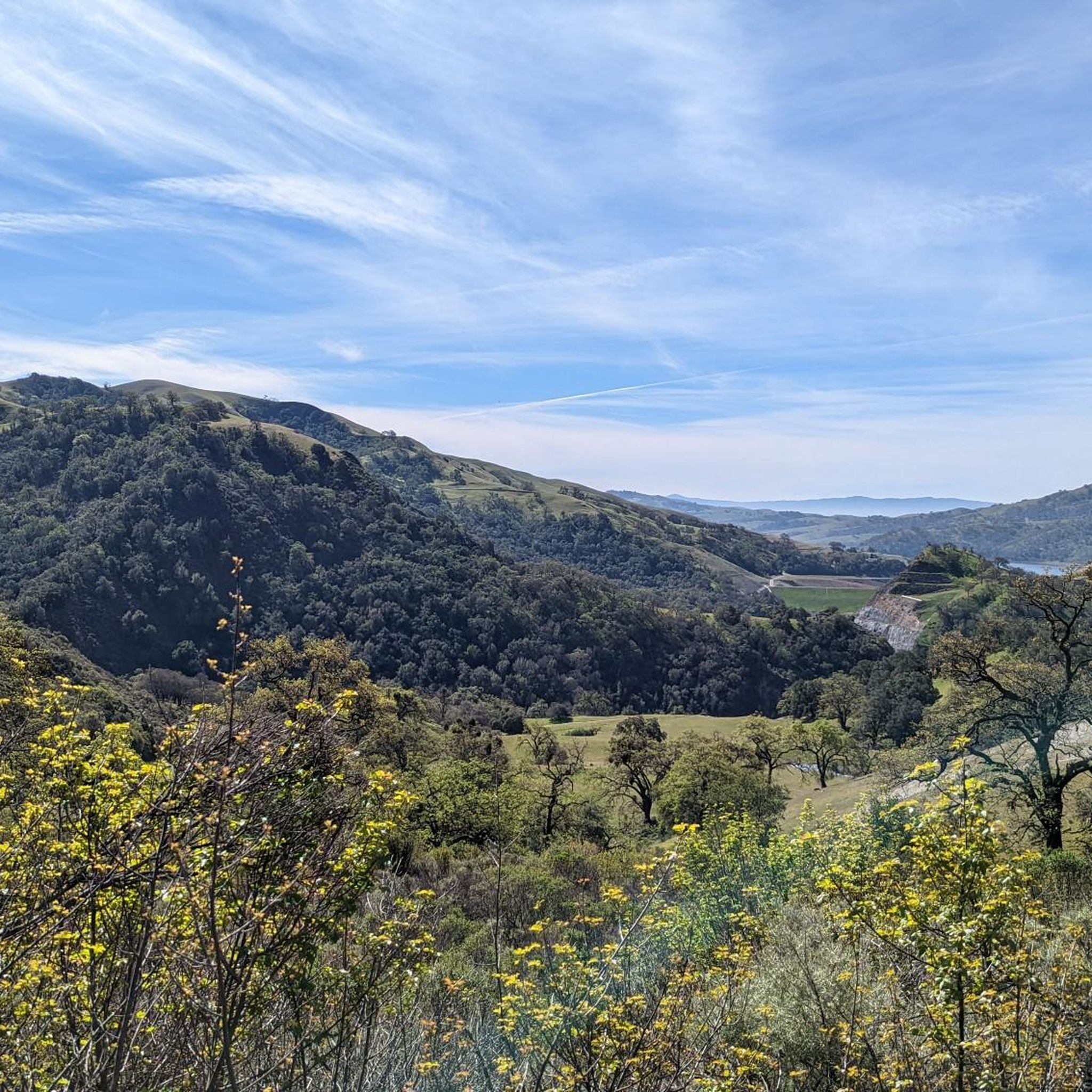
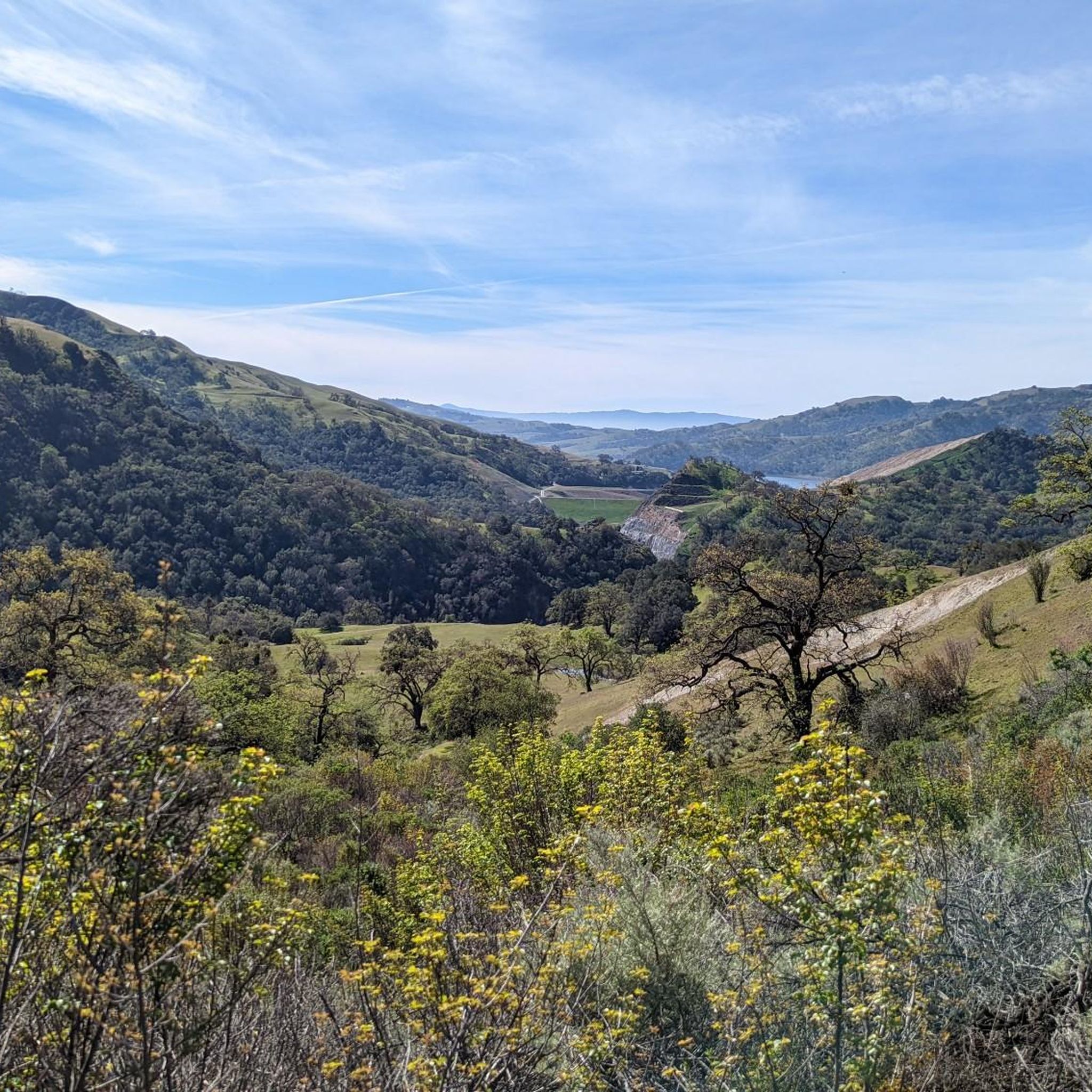
From this viewpoint, you can enjoy stunning views of rolling hills and valleys. If you come here in the spring, and more specifically late May, you will be able to bask in the full bloom of the wildflowers in the area.
0
0

This park is considered to be a mini Yosemite with creeks, boulders and sometimes waterfalls. It costs $5 to get access the site and if you go during peak times, it is normally fairly busy.
0
0
Mission Peak is a popular peak in Alameda County. The trail to the top is well signed and strenuous but it worth it for the great views at the top. A lot of the trail is exposed, so it's important to have enough water and sunblock.
0
0
The Ohlone Wilderness Regional Trail requires a permit and map for day use or overnight camping. The permit is good for one year and costs $2 per person when purchased in person. Permits can be bought at Del Valle Park or Sunol kiosks if staffed, or online, by phone, or by mail for $4 per person. Every visitor over age 12 needs their own permit. Get your permit ahead of time to enjoy the Ohlone Wilderness Regional Trail hassle-free. Purchase locations include park kiosks, online at EBParks.org/Register, by calling 1-888-327-2757, or through the mail. Have your permit before heading out on this beautiful trail.
0
0
This natural oasis is the perfect stop if you're willing to pay the $5 entrance fee (cash only). Here you will find lots of small to moderate waterfalls, making the hike around the area not only visually stunning but also very relaxing as the sounds coming from the waterfalls can be heard from every direction.
0
0
From this viewpoint you can enjoy stunning views of rolling hills and valleys. If you come here in the spring, and more specifically late May, you will be able to bask in the full bloom of the wildflowers in the area.
0
0
On clear days, the east offers stunning views of the high Sierra's beautiful summits. Even on less clear days, the surrounding peaks are still worth admiring. To the north, witness the majestic double peaks of Mount Diablo, the Coast Range's giant. Don't be surprised if you see hand gliders coming around the peak to enjoy the beautiful views this preserve offers.
0
0
Frequently Asked Questions
How many running routes are available in the Ohlone Wilderness Trail Permit Area?
The Ohlone Wilderness Trail Permit Area offers a wide selection of running routes, with over 40 distinct trails to explore. These routes cater to various fitness levels, including 2 easy, 22 moderate, and 16 difficult options.
What kind of terrain should I expect when jogging in the Ohlone Wilderness Trail Permit Area?
Runners in the Ohlone Wilderness Trail Permit Area can expect a challenging and varied terrain. The trails feature significant elevation changes, including demanding ascents and descents, rolling hills, and narrow single tracks. You'll traverse extensive oak woodlands, open meadows, and sometimes encounter steeper sections, providing a robust workout amidst diverse natural landscapes.
Are there any family-friendly running trails in the Ohlone Wilderness Trail Permit Area?
While many routes in the Ohlone Wilderness Trail Permit Area are quite challenging, there are some moderate options that families might enjoy, especially those with older children or who are accustomed to trail running. For example, the Ohlone Wilderness Trail itself offers a 3.0-mile moderate path through rolling hills and woodlands.
Can I bring my dog on the running trails in the Ohlone Wilderness Trail Permit Area?
The Ohlone Wilderness Trail Permit Area generally welcomes dogs on its trails, but it's always best to check specific park regulations and trail signage before you go. Many areas require dogs to be on a leash, and some sensitive wilderness sections might have restrictions. Ensure your dog is prepared for the varied terrain and potential wildlife encounters.
What are some notable landmarks or viewpoints I might see while running?
The Ohlone Wilderness Trail Permit Area boasts several majestic peaks and scenic viewpoints. You might encounter Rose Peak (3,815 feet) or Discovery Peak (3,837 feet), offering 360-degree panoramic views. The popular Mission Peak (2,500 feet) also provides stunning vistas of the Bay Area. Additionally, you can enjoy views of Lake Del Valle and Calaveras Reservoir from certain overlooks.
Are there any running routes that feature water features or waterfalls?
Yes, some routes in the Ohlone Wilderness Trail Permit Area offer beautiful water features. The Little Yosemite loop via Ohlone Wilderness Trail is a moderate route known for its scenic water features. After significant rainfall, Murietta Falls becomes a beautiful flowing waterfall, though it can be reduced to a trickle during drier periods.
What is the best time of year to go running in the Ohlone Wilderness Trail Permit Area?
The best time for running in the Ohlone Wilderness Trail Permit Area is typically during the cooler months of spring and fall. Spring brings profuse wildflowers and lush green landscapes, while fall offers pleasant temperatures. Summers can be very hot, making early morning or late afternoon runs preferable. Winters can be wet, but the trails remain accessible, offering a different kind of beauty.
What do other runners enjoy most about jogging in the Ohlone Wilderness Trail Permit Area?
The area is highly rated by the komoot community, with an average score of 4.0 stars from 5 reviews. Runners often praise the challenging nature of the trails, the sense of solitude found away from popular sections, and the diverse natural beauty, including extensive oak woodlands and panoramic views from peaks like Mission Peak.
Are there any circular running routes available?
Yes, the Ohlone Wilderness Trail Permit Area offers several loop options for runners. For instance, the Little Yosemite loop via Ohlone Wilderness Trail is a popular moderate circular route. Another option is the Canyon View and McCorkle Trail Loop, which provides a moderate 3.8-mile run.
What are some of the more difficult running routes for experienced trail runners?
For experienced trail runners seeking a challenge, the Ohlone Wilderness Trail Permit Area offers several difficult routes with significant elevation gain. The Mission Peak via Ohlone Wilderness Trail is a demanding 10.0-mile path with substantial climbing and panoramic rewards. Another challenging option is Mission Peak via Hidden Valley Trail, a 6.2-mile route also featuring considerable elevation.
Are there any specific permit requirements for jogging in the Ohlone Wilderness Trail Permit Area?
Historically, a permit was required for the Ohlone Wilderness Trail. However, the East Bay Regional Park District has eliminated this requirement for hiking and running to improve access. While permits are no longer needed for day use, reservations are still necessary for overnight camping if you plan an extended trip.
Most popular routes in Ohlone Wilderness Trail Permit Area

Get inspired with the komoot mobile app


Explore more
Browse the best Running Trails & Routes in other regions.
