The best road cycling routes in Ohlone Wilderness Trail Permit Area
4.9
(12)
857
riders
30
rides
Road cycling routes in Ohlone Wilderness Trail Permit Area traverse a landscape characterized by rugged terrain, hidden valleys, rolling ridges, and extensive oak woodlands. While the core Ohlone Wilderness Trail is primarily for hiking, the broader permit area offers numerous paved routes suitable for road cyclists. These routes feature varying levels of difficulty and elevation gains, providing diverse experiences across the region's natural features. The area includes significant elevation changes and expansive views, with routes often connecting to regional parks…
Last updated: July 8, 2026
133
riders
92.2km
04:30
1,210m
1,210m
Hard road ride. Very good fitness required. Mostly well-paved surfaces and easy to ride.
4.0
(1)
3
riders
38.7km
01:43
240m
240m
Easy road ride. Great for any fitness level. Mostly well-paved surfaces and easy to ride.

Sign up for free
5.0
(3)
230
riders
84.0km
04:01
1,030m
1,030m
Hard road ride. Very good fitness required. Mostly well-paved surfaces and easy to ride.
5.0
(1)
108
riders
Hard road ride. Very good fitness required. Mostly well-paved surfaces and easy to ride.
29
riders
Moderate road ride. Good fitness required. Mostly well-paved surfaces and easy to ride.
Get access to more routes and recommendations from other explorers.
Sign up for free
Already have an account?
Our route recommendations are based on thousands of hikes, rides, and runs completed by other people on komoot.
Start today with a free account
Your next adventure awaits.
Login or Signup
Popular around Ohlone Wilderness Trail Permit Area
Tips from the Community

About a mile into Santa Clara county, if you know where to look, you might spot a bald eagle. Hopefully, someone with a really good camera will post a photo and tag the location.
0
0

This a very well known bicycle route in Northern California, and there are already great details info about it online, here I just wanted to share some photos on the route.
0
0

Nestled in Fremont just north of San Jose, Old Mission San José, originally built by the Spanish in 1797, was painstakingly restored after decades of neglect. Visitors can step into history as they tour the original doors of the 1809 adobe church. Guided and self‑guided tours, the former being led by knowledgeable docents, bring the Rancho to life.
0
0
Though very short, this small section of easily visible cycling lane makes the intersection much easier to navigate on your bike.
0
0
This stretch of Foothill Road runs between the city and Pleasanton Ridge, giving you a great feeling of being on the edge of wilderness.
0
0
This section of Foothill Road follows closely along Arroyo de la Laguna. Seeing the river and unique farm animals on the side of the road is a treat!
0
0

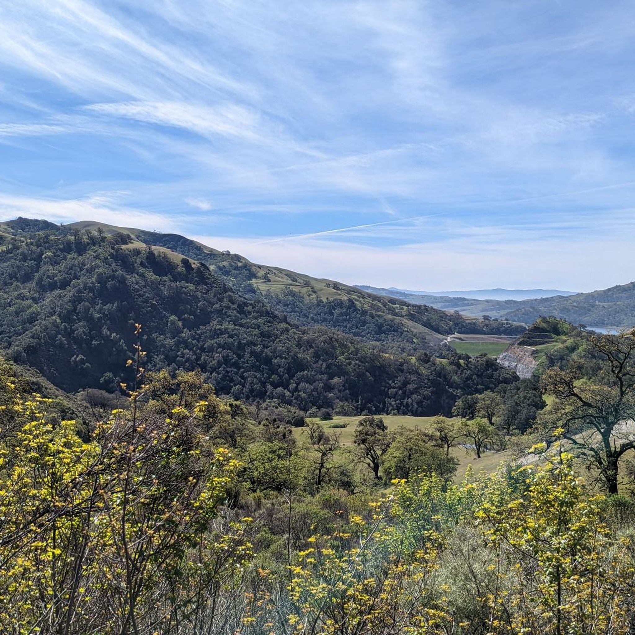
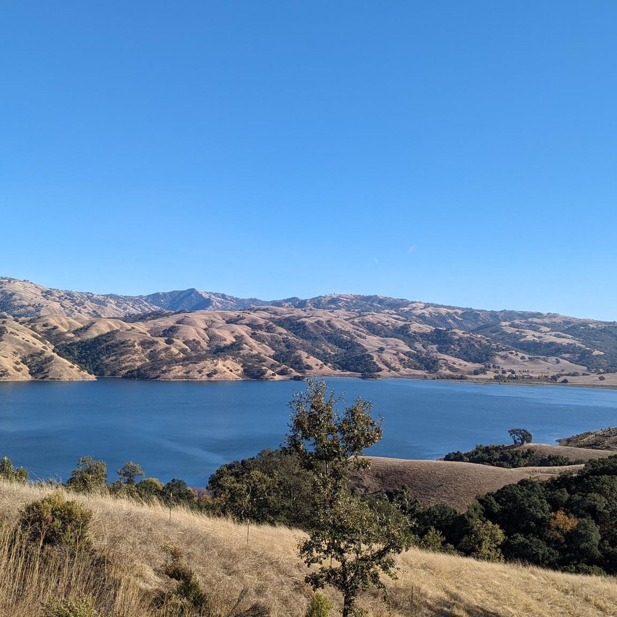
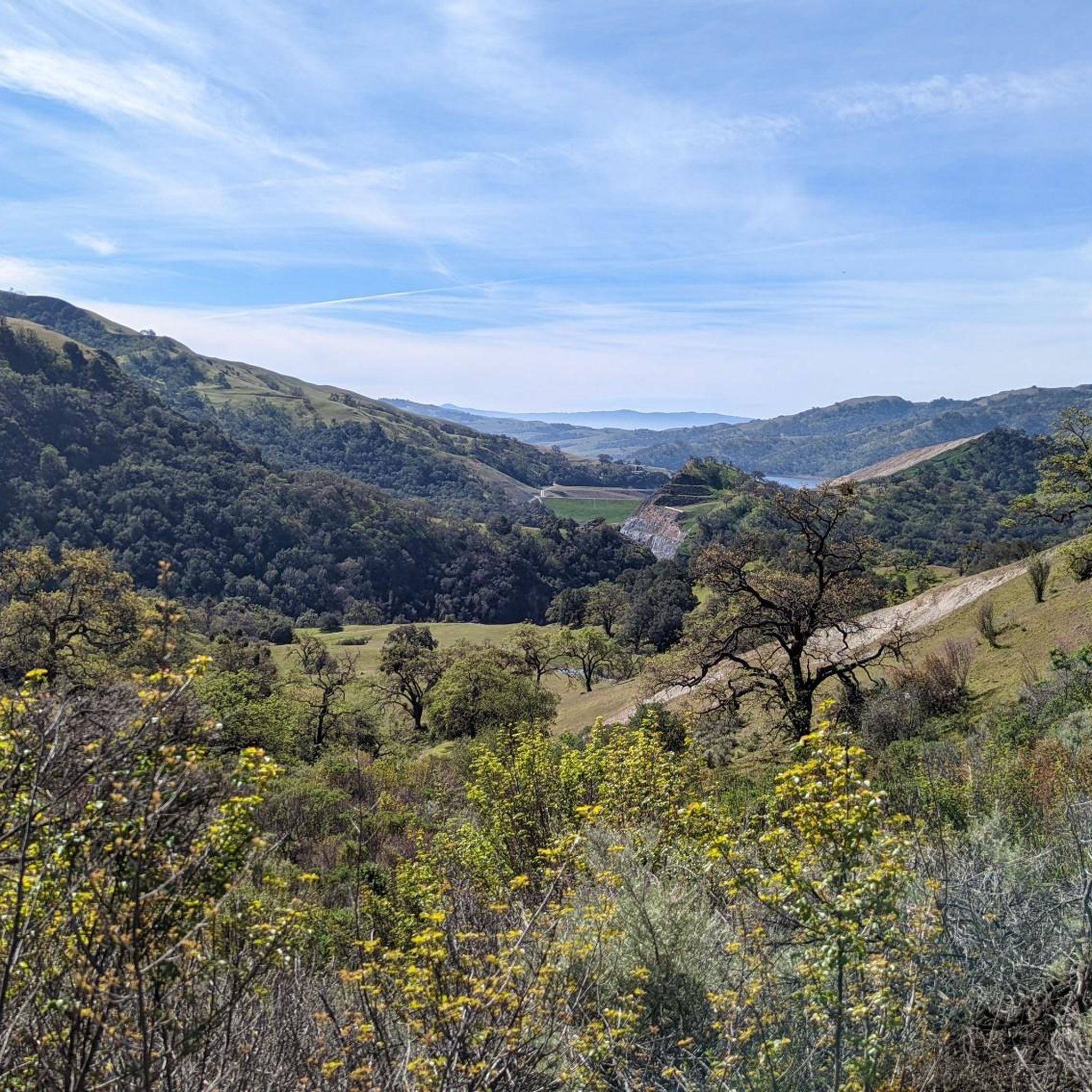
Calfateras road begins by a robust climb, and then it changes to a series of switchbacks with spectacular views to the reservoir and surrounding park. The switchbacks alternate between downhill and moderate climbs, before a long downhill and flat terrain.
0
0

Riding south on Felter road from Calaveras after doing Polamares and and Calaveras Roads was a real challenge, especially since it was my first time! Get something to fuel up on at the Sunol Little Store!
0
0
Frequently Asked Questions
What types of road cycling routes can I find in the Ohlone Wilderness Trail Permit Area?
The Ohlone Wilderness Trail Permit Area offers a variety of road cycling routes, ranging from easy, mostly flat loops to challenging climbs with significant elevation gains. You'll find routes traversing riparian scenery, rolling ridges, and oak woodlands, catering to different fitness levels. There are over 25 routes available, with 14 easy, 11 moderate, and 2 difficult options.
Are there any specific regulations or permits required for road cycling in the Ohlone Wilderness Trail Permit Area?
While the core Ohlone Wilderness Trail itself is primarily for hiking and requires a permit, the broader Ohlone Wilderness Trail Permit Area includes paved routes suitable for road cycling that generally do not require a specific cycling permit. However, it's always advisable to check with the East Bay Regional Park District for the latest regulations, especially if your route might venture into specific park sections.
What are the typical surface conditions and elevation changes on road cycling routes in this area?
Road cycling routes in the Ohlone Wilderness Trail Permit Area are predominantly paved, offering smooth surfaces for road bikes. However, some segments of the broader area might include unpaved sections, where pushing a bike could be necessary. Elevation gains vary significantly, from minimal on routes like the South Fremont BART to Coyote Creek Lagoon loop (around 236 meters) to over 1000 meters on challenging routes such as the Calaveras Road – Sunol Depot loop from Warm Springs/South Fremont.
What scenic views and landmarks can I expect to see along the road cycling routes?
The region is known for its rugged terrain, oak woodlands, and expansive views. Cyclists can enjoy panoramic vistas from higher elevations, especially towards the East Bay city lights. Notable natural features include Lake Del Valle and Murietta Falls (best seen after significant rainfall). In spring, the hills are vibrant with wildflowers like California poppies. You might also spot wildlife such as wild turkeys and California quail.
When is the best time of year to go road cycling in the Ohlone Wilderness Trail Permit Area?
The best time for road cycling is generally from late winter through spring (March to April) when the hills are green and wildflowers are in bloom. The weather is typically milder during these months. Summers can be hot and dry, while fall offers pleasant temperatures. After significant winter rains, Murietta Falls is at its most impressive.
Are there any family-friendly road cycling routes in the Ohlone Wilderness Trail Permit Area?
Yes, there are several family-friendly options, particularly those with minimal elevation gain and mostly paved surfaces. The South Fremont BART to Coyote Creek Lagoon loop is an easy 24-mile route featuring riparian scenery and is suitable for most fitness levels. Another moderate option is the Elizabeth Lake (south side) – Fremont Central Park loop from Northwestern Polytechnic University, which is about 29 miles long.
Where can I find parking or access public transport for road cycling routes?
Many routes in the area start near public transport hubs or have accessible parking. For example, the South Fremont BART to Coyote Creek Lagoon loop conveniently begins near the South Fremont BART station. Other routes may have parking available at regional parks or designated trailheads within the broader permit area.
What do other road cyclists enjoy most about cycling in the Ohlone Wilderness Trail Permit Area?
The area is highly rated by the komoot community, with an average score of 4.9 stars from over 16 reviews. Cyclists often praise the diverse terrain, from easy riparian paths to challenging climbs, and the stunning natural beauty of the oak woodlands and rolling ridges. The variety of routes ensures there's something for every skill level.
Are there challenging road cycling routes for experienced riders?
Absolutely. For experienced riders seeking a challenge, routes like the Calaveras Road – Sunol Depot loop from Warm Springs/South Fremont offer significant elevation changes, climbing over 3,300 feet across 51.7 miles. Another demanding option is the Calaveras Road – Calaveras Reservoir Road loop from Warm Springs/South Fremont, which covers 38 miles with nearly 960 meters of ascent.
What kind of wildlife might I encounter while cycling?
The Ohlone Wilderness Trail Permit Area is home to various wildlife. You might see wild turkeys and California quail. It's also important to be aware of the presence of rattlesnakes, bobcats, and mountain lions, and cattle are known to graze in certain areas. Always maintain a respectful distance from wildlife.
Are there any loop options for road cyclists?
Yes, many of the road cycling routes in the Ohlone Wilderness Trail Permit Area are designed as loops, allowing you to start and finish at the same point. Examples include the South Fremont BART to Coyote Creek Lagoon loop and the Oleander Along Evans Road – Felter Road loop from Warm Springs/South Fremont, providing convenient circular rides.
Most popular routes in Ohlone Wilderness Trail Permit Area

Get inspired with the komoot mobile app


Explore more
Browse the best Road cycling routes in other regions.
