Ranch Canada Del Oro Open Space Preserve (Closed Areas)
Ranch Canada Del Oro Open Space Preserve (Closed Areas)
The best cycling routes in Ranch Canada Del Oro Open Space Preserve (Closed Areas)
4.6
(41)
1,124
riders
39
rides
Touring cycling in Ranch Canada Del Oro Open Space Preserve (Closed Areas) offers routes through diverse landscapes in the foothills of the Santa Cruz Mountains. The preserve spans approximately 5,800 acres, featuring mixed oak woodlands, expansive grasslands, chaparral, and riparian areas. Rolling ridgelines provide views of the Diablo Range and the Santa Cruz Mountains. The area includes around 12 miles of multi-use trails suitable for cycling.
Best touring cycling routes in Ranch Canada Del Oro Open Space Preserve (Closed Areas)
- The most popular touring cycling route is Bald Peaks Loop, an 8.0 miles (12.9 km) trail that takes 1 hour 31 minutes to complete. This route features rolling ridgelines with expansive views.
- Another top favourite among local touring cyclists is Chesbro Reservoir – Chesbro Reservoir County Park loop from Rancho Cañada del Oro Open Space Preserve Entrance, a moderate 23.5 miles (37.9 km) path. This route connects to a county park, offering varied landscapes.
- Local touring cyclists also love the Longwall Canyon Trail loop from Rancho Cañada del Oro Open Space Preserve Entrance, a 4.3 miles (6.9 km) trail leading through Longwall Canyon, often completed in about 46 minutes.
- Touring cycling in Ranch Canada Del Oro Open Space Preserve (Closed Areas) is defined by mixed oak woodlands, expansive grasslands, and rolling ridgelines. The network offers options for easy, moderate, and difficult routes catering to different ability levels.
- The routes in Ranch Canada Del Oro Open Space Preserve (Closed Areas) are highly rated by the komoot community with an average score of 4.7 stars from around 30 reviews. More than 1000 touring cyclists have used komoot to explore Ranch Canada Del Oro Open Space Preserve (Closed Areas)'s varied terrain.
Last updated: August 31, 2026
3.0
(1)
13
riders
12.9km
01:31
440m
440m
The Bald Peaks Loop, despite its listing, is a rugged mountain biking route, not one for traditional touring cyclists. This 8.0-mile (12.9 km) trail in Rancho Cañada del Oro Open Space Preserve climbs a challenging 1457 feet (444 metres) over roughly 1 hour and 30 minutes, earning its moderate difficulty rating. You'll navigate doubletrack through grassy hillsides and oak woodlands, with steep sections that demand a mountain bike's capabilities, offering views of the Santa Cruz Mountains from spots like the Bald Peaks Viewpoint.
Access to the preserve is generally straightforward, and dogs are permitted on leash, which is a plus for many. While specific parking details aren't provided, it's wise to arrive early, especially on weekends, as popular trails in the San Jose area can fill up quickly. The landscape is particularly vibrant with green grasses and lush foliage after winter and spring rains, making those seasons ideal for a visit.
This trail is a prime example of the diverse terrain found in Santa Clara County, showcasing the transition from open grasslands to dense forests. It's a popular choice for local mountain bikers seeking a good workout and scenic vistas. The area is known for its high-desert ecosystem, with scattered oaks and open meadows, providing a distinct natural experience compared to other cycling routes in the region.
5.0
(1)
11
riders
Hard bike ride. Very good fitness required. Mostly paved surfaces. Suitable for all skill levels.

Sign up for free
4
riders
Moderate bike ride. Good fitness required. Mostly paved surfaces. Suitable for all skill levels.
5.0
(1)
26
riders
28.5km
02:27
980m
980m
Hard bike ride. Very good fitness required. Mostly paved surfaces. Suitable for all skill levels.
5.0
(1)
158
riders
15.3km
01:32
260m
260m
The Bay Area Ridge Trail: Calero Park Loop offers a scenic and accessible touring cycling experience, winding through California Oak woodlands, chaparral, and rolling grassland hills. You'll enjoy expansive views of the Calero Reservoir and the Santa Cruz Mountains, with the landscape particularly lush and vibrant with wildflowers in early spring. The trail surface varies from hard-packed dirt to fine gray gravel, providing a smooth ride through open grass meadows and sparse oak woodlands.
This moderate 9.5-mile (15.3 km) route, with 837 feet (255 metres) of elevation gain, typically takes about 1 hour and 32 minutes to complete. It's considered beginner-friendly, featuring gentle climbs without extended steep ascents, making it a great option for those transitioning from flatter gravel paths. Remember that the loop is unidirectional (counter-clockwise) for bikes, and muddy patches can occur near a natural spring during winter.
As a key segment of the ambitious 550-mile Bay Area Ridge Trail, this loop integrates several trails, including the popular Lisa Killough Trail and Cottle Trail. Calero County Park has become a significant mountain biking destination, with new "flow" trails added since 2017. Keep an eye out for local wildlife like burrowing owls, coyotes, and even bald eagles as you explore this well-regarded route.
Get access to more routes and recommendations from other explorers.
Sign up for free
Already have an account?
Our route recommendations are based on thousands of hikes, rides, and runs completed by other people on komoot.
Start today with a free account
Your next adventure awaits.
Login or Signup
Popular around Ranch Canada Del Oro Open Space Preserve (Closed Areas)
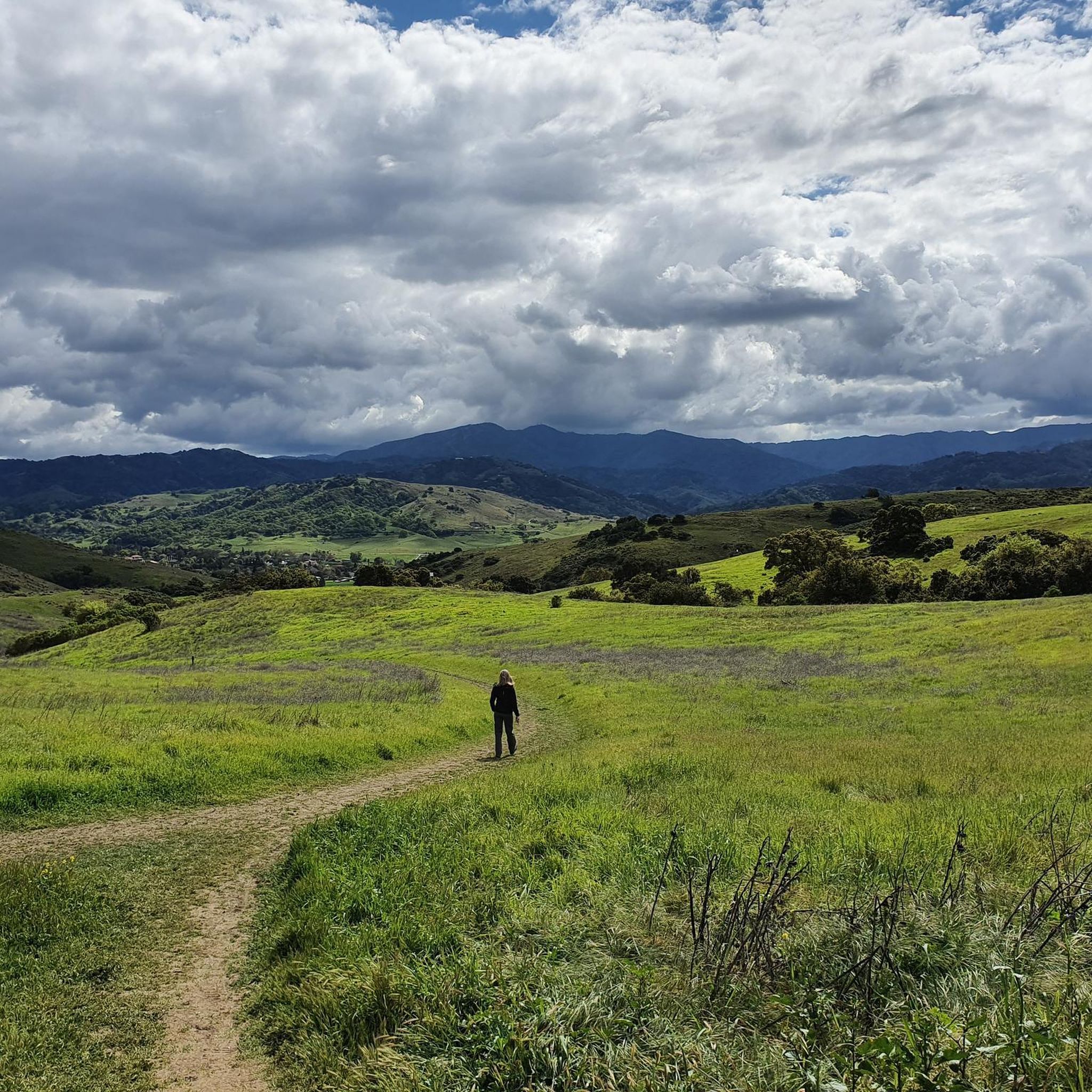
Running Trails in Ranch Canada Del Oro Open Space Preserve (Closed Areas)
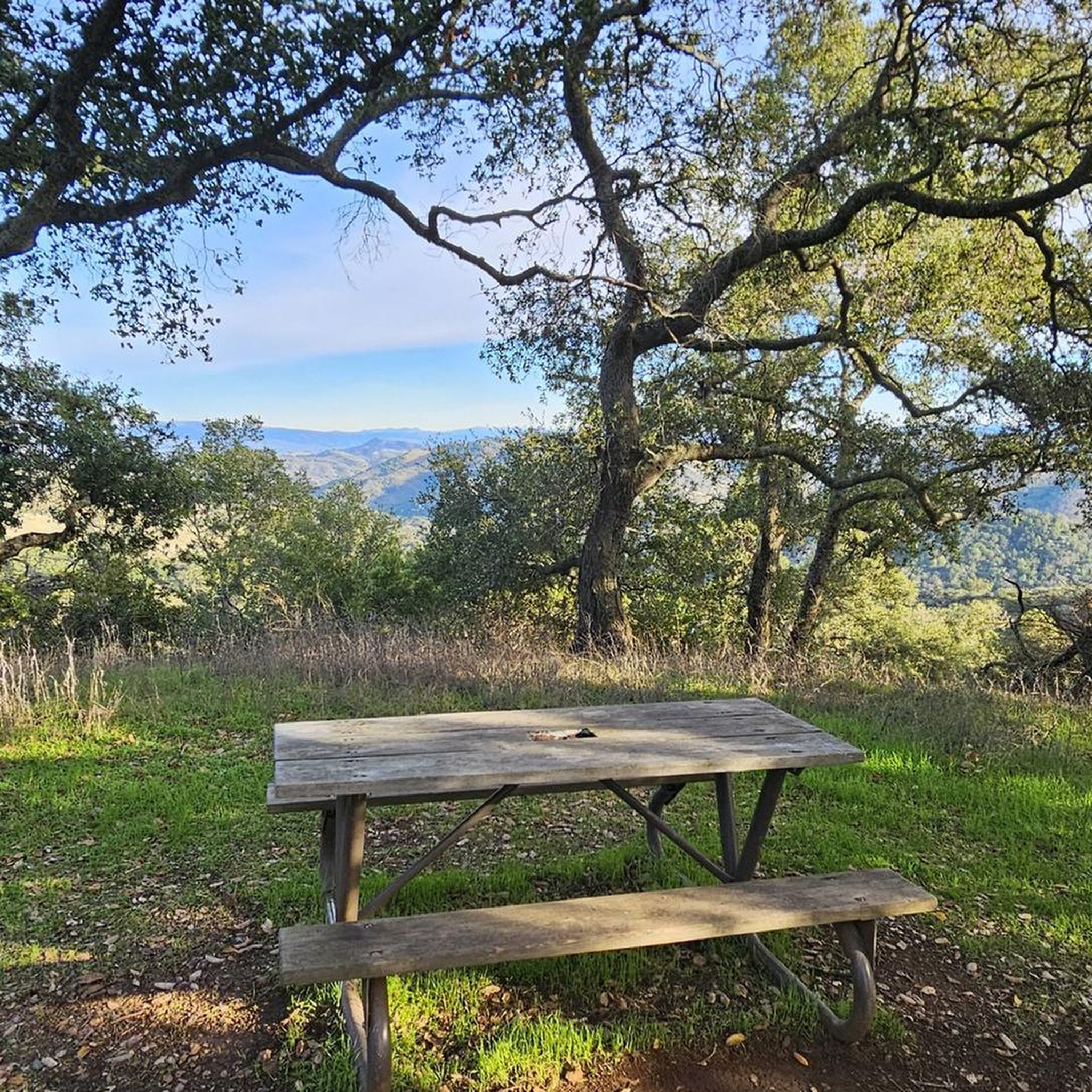
Hiking in Ranch Canada Del Oro Open Space Preserve (Closed Areas)
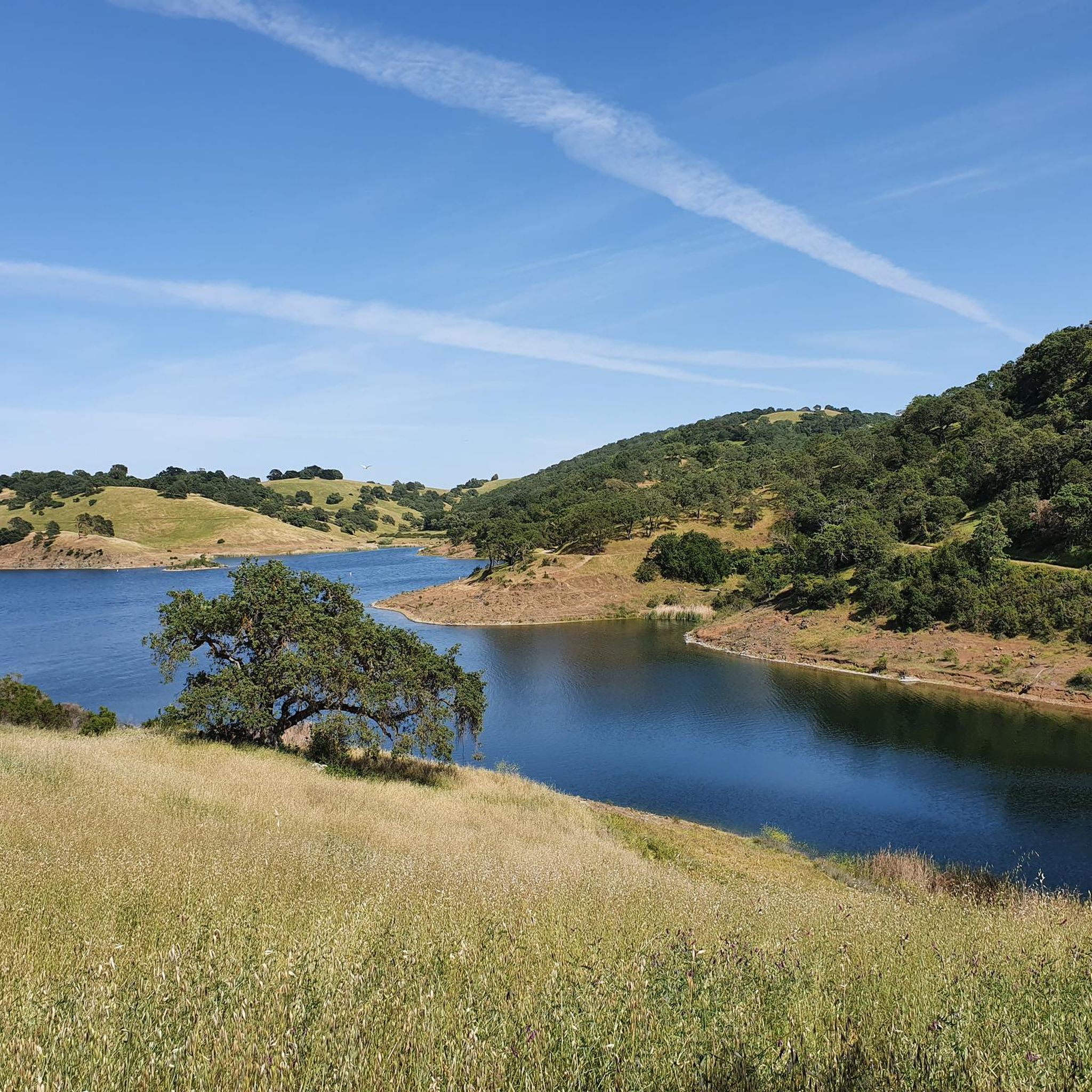
MTB Trails in Ranch Canada Del Oro Open Space Preserve (Closed Areas)
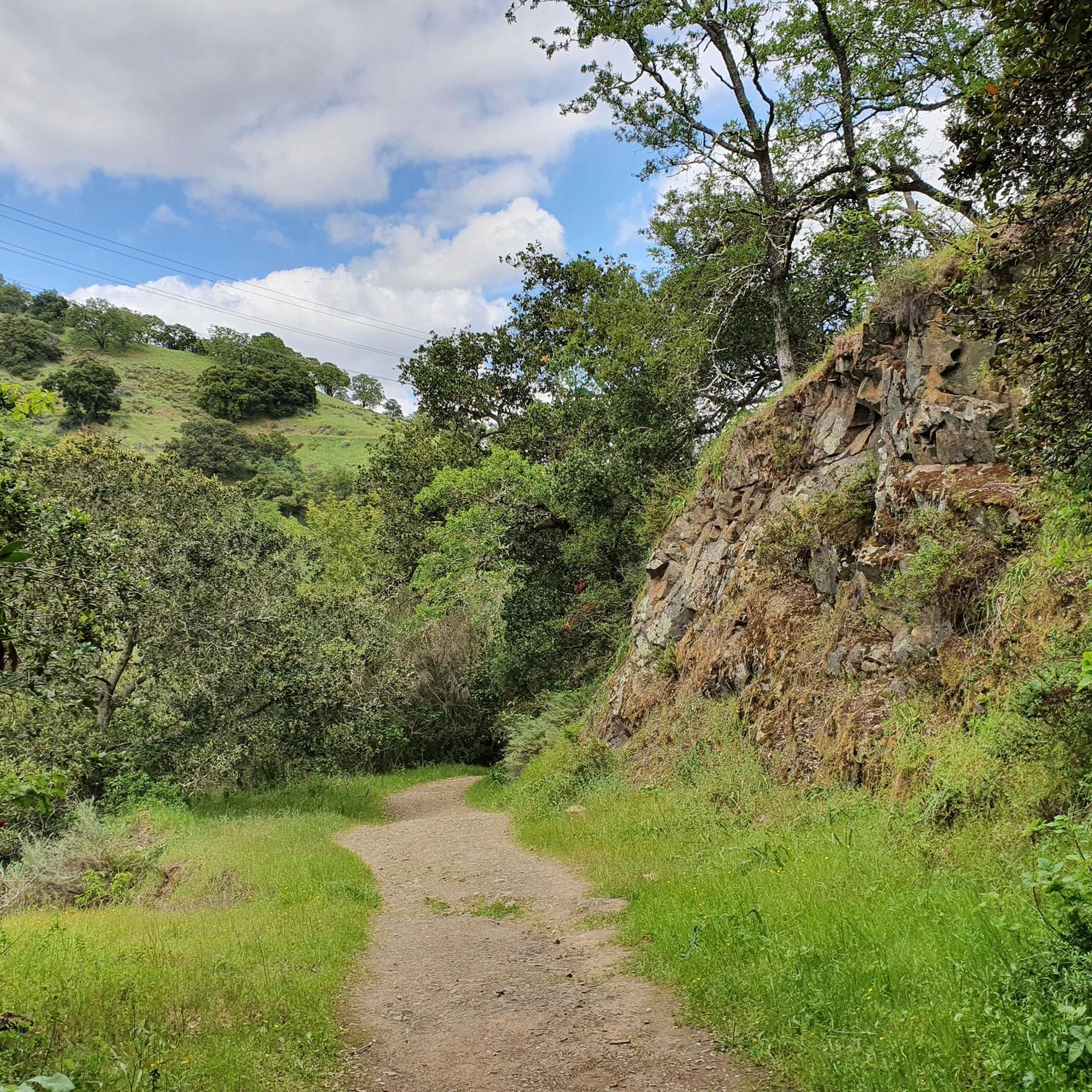
Road Cycling Routes in Ranch Canada Del Oro Open Space Preserve (Closed Areas)

Gravel biking in Ranch Canada Del Oro Open Space Preserve (Closed Areas)
Tips from the Community

If you make the summit a fantastic view awaits. Be aware the road goes down then up to the road about then up again to the summit!…
0
0


Still one of the highest points in the Santa Cruz Mountains, even though the military graded and flattened the actual summit to create an Air Force base. The summit was cleaned of hazardous material in 2009, then carefully restored after a lot of community input. It's a lovely place to visit now!
0
0

Climbing Mount Umunhum is a tough but rewarding challenge. The road is steep, with sections reaching up to 18% grades, so pace yourself. The views from the top are spectacular, making the hard work worth it. Start early to avoid traffic and the heat, and be prepared for a long, demanding ascent.
0
0

The Lisa Killough Trail is a popular blue-rated mountain biking trail that offers a casual climb with scenic views at the start, followed by a smooth, fun, and flowy descent toward the reservoir. It’s fairly beginner-friendly, but there are optional technical features along the way to add a bit of excitement for those seeking more variety.
0
0

Bald Peak provides great views of Santa Clara Valley, the Diablo Range, and the Santa Cruz Mountains. Hikers and mountain bikers can access the peak via trails like Hidden Springs and Coyote Peak, which offer moderate to steep climbs. Early mornings or late afternoons are best for enjoying cooler temperatures in hot summer months. The trails are well-maintained and scenic.
0
0

Located right by the parking area you can find some additional info before heading out on your ride.
0
0
Nice gravel trail that winds its way through the park. Some sections follow long the water giving you some great views.
0
0
Frequently Asked Questions
How many touring cycling routes are available in Rancho Cañada del Oro Open Space Preserve?
There are over 35 touring cycling routes in Rancho Cañada del Oro Open Space Preserve, offering a variety of experiences for different skill levels. These routes are highly rated by the komoot community, with an average score of 4.7 stars.
Are there any easy touring cycling routes suitable for beginners or families?
Yes, the preserve offers several easy routes. While specific 'easy' routes aren't detailed here, the multi-use trails cater to varying fitness levels, including less challenging segments. For a moderate option that is popular, consider the Longwall Canyon Trail loop from Rancho Cañada del Oro Open Space Preserve Entrance, which is shorter at 4.3 miles.
What kind of terrain can I expect on the touring cycling routes?
The routes traverse diverse landscapes, including mixed oak woodlands, expansive grasslands, chaparral, and riparian areas along creeks. You'll encounter rolling ridgelines that offer sweeping views, with trails ranging from mostly paved surfaces to more challenging unpaved segments with significant elevation gains.
Are e-bikes allowed on the trails?
Yes, pedal-assist e-bikes are permitted on the multi-use trails within Rancho Cañada del Oro Open Space Preserve, provided they can be operated safely.
Where can I find parking for the cycling trails?
While specific parking locations aren't detailed in the provided information, access points to the preserve, such as the Rancho Cañada del Oro Open Space Preserve Entrance, typically offer parking facilities for visitors looking to access the trails.
What are the best routes for challenging touring cycling?
For a more challenging ride, consider routes with significant elevation gains. The Bald Peaks Viewpoint – Bald Peaks Viewpoint loop from Rancho Cañada del Oro Open Space Preserve Entrance is a difficult option, covering 25.1 miles with substantial climbing.
Can I find loop trails for touring cycling in the preserve?
Yes, many of the trails are designed as loops, allowing for varied cycling experiences without retracing your path. Examples include the popular Bald Peaks Loop and the Longwall Canyon Trail loop.
What kind of wildlife might I see while cycling?
The preserve is home to a diverse array of wildlife. You might spot deer, bobcats, foxes, and even mountain lions. Raptors like golden eagles and occasionally wintering bald eagles are present, along with black-tailed deer, wild pigs, wild turkeys, California quail, and various bat species and songbirds.
Are there any scenic viewpoints along the touring cycling routes?
Absolutely. The preserve features rolling ridgelines that offer sweeping views of the Diablo Range and the Santa Cruz Mountains. For instance, the summit of Longwall Canyon Trail provides expansive views of the valley floor and surrounding ridges.
What is the best time of year to go touring cycling in Rancho Cañada del Oro Open Space Preserve?
Spring is particularly beautiful, with vibrant displays of wildflowers adorning the meadows and hillsides. The diverse habitats and views can be enjoyed year-round, but checking weather conditions before your ride is always recommended.
Are there any restrictions or specific rules for cyclists in the preserve?
The preserve offers around 12 miles of multi-use trails. It's important to note that while the preserve is excellent for cycling, some adjacent areas, such as portions of Calero County Park, may have restrictions on bicycles. Always observe posted signage and trail rules.
Are there any routes that connect to other parks or areas?
Yes, some routes connect to nearby areas. For example, the Chesbro Reservoir – Chesbro Reservoir County Park loop from Rancho Cañada del Oro Open Space Preserve Entrance connects to a county park, offering varied landscapes beyond the preserve itself.
Most popular routes in Ranch Canada Del Oro Open Space Preserve (Closed Areas)

Get inspired with the komoot mobile app


Explore more
Browse the best Cycling routes in other regions.
