Santa Rosa And San Jacinto Mountains National Monument
Santa Rosa And San Jacinto Mountains National Monument
The 9 Most Amazing Peaks in Santa Rosa And San Jacinto Mountains National Monument
Best mountain peaks in Santa Rosa And San Jacinto Mountains National Monument showcase a dramatic elevation change from the desert floor to alpine environments. This region features diverse ecosystems, from California fan palm oases at lower elevations to pinyon pines and high mountain meadows with limber pines. The landscape is primarily composed of granitic rocks, forming a rugged backdrop to the Coachella Valley, and holds cultural significance with archaeological sites of the Cahuilla Indians. The monument is home to varied…
Last updated: August 29, 2026
San Jacinto Peak
Highlight • Summit
Tip by

Tahquitz Peak
Highlight • Summit
Tip by
Sign up now to discover places like this
Get recommendations on the best single tracks, peaks, & plenty of other exciting outdoor places.
Sign up for free
San Jacinto Summit Hut Shelter
Highlight • Mountain Hut
Tip by
Peak Trail
Highlight • Trail
Tip by
Mt. San Jacinto State Park Wilderness
Highlight • Forest
Tip by
Sign up for free to discover even more peaks in Santa Rosa And San Jacinto Mountains National Monument.
Sign up for free
Already have an account?
Start today with a free account
Your next adventure awaits.
Login or Signup
Popular around Santa Rosa And San Jacinto Mountains National Monument

Pacific Crest Trail from Mexico to Canada – 4,200 kilometres of wilderness

The tour of your life – music trails on the Pacific coast
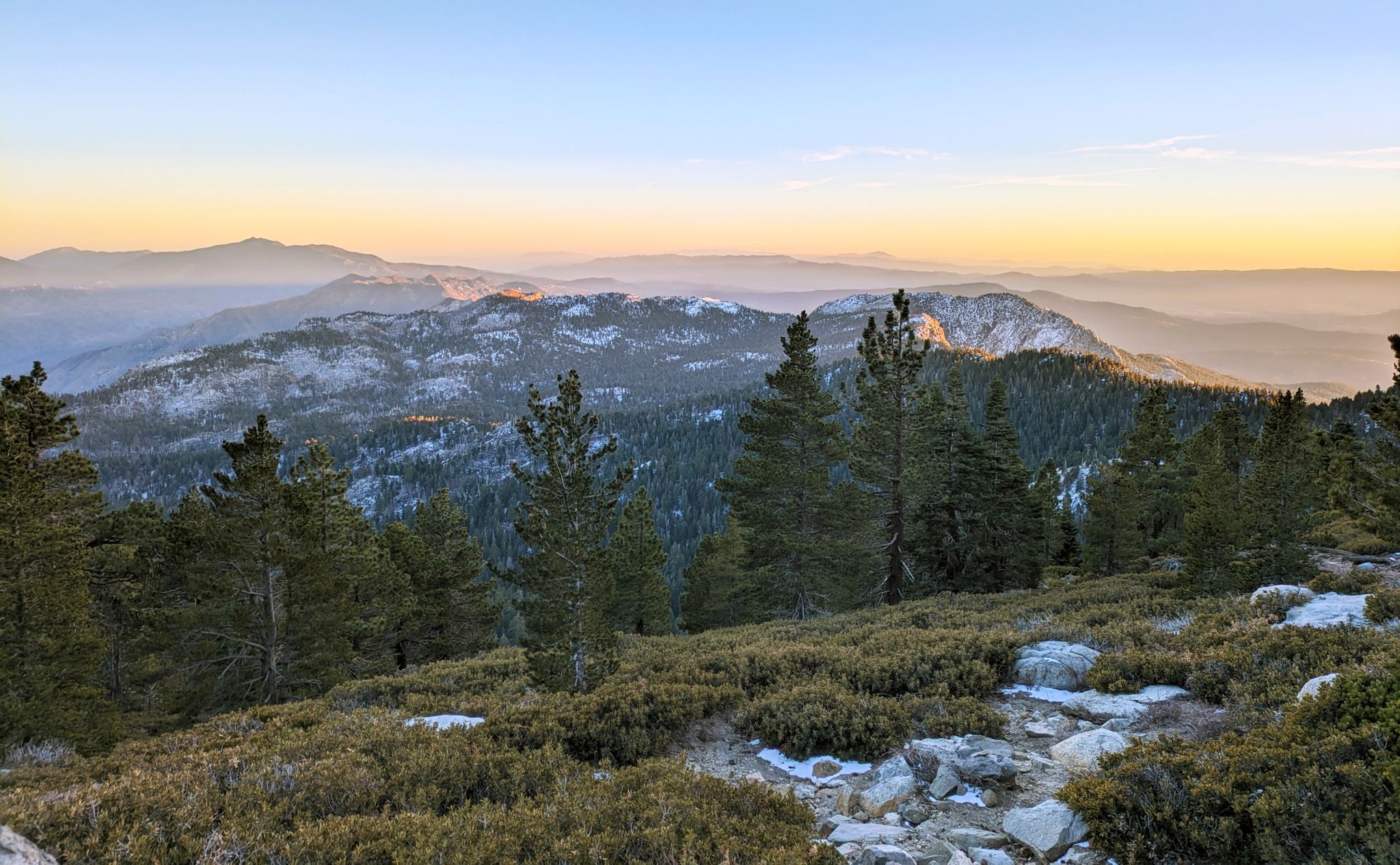
Climbing Mount San Jacinto on the Deer Springs Trail
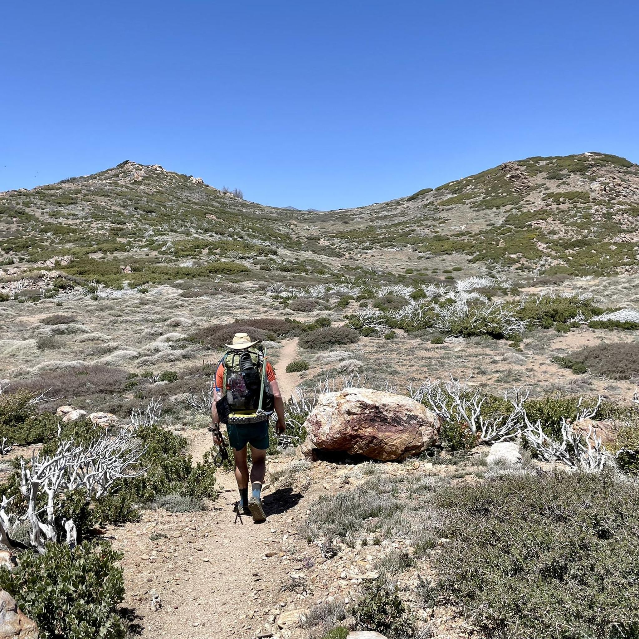
Hiking in Santa Rosa And San Jacinto Mountains National Monument
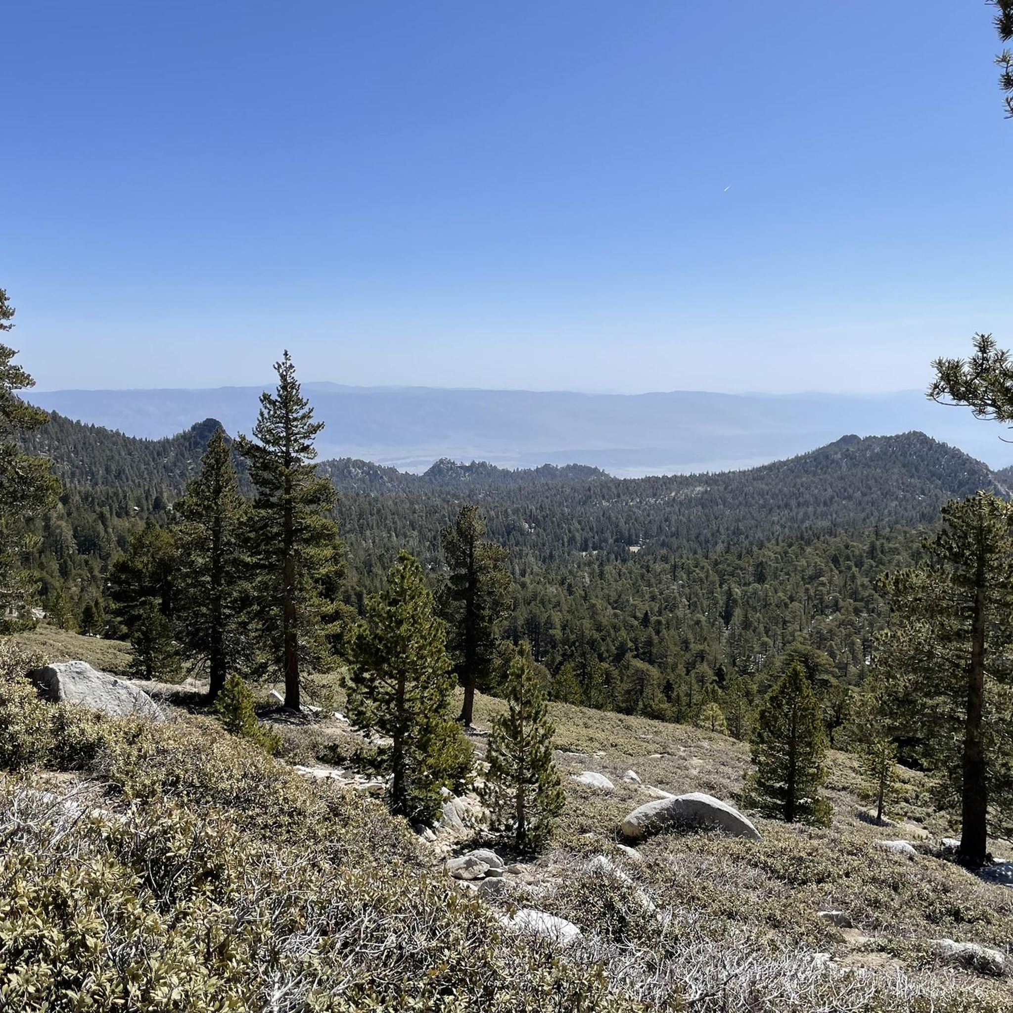
Running Trails in Santa Rosa And San Jacinto Mountains National Monument
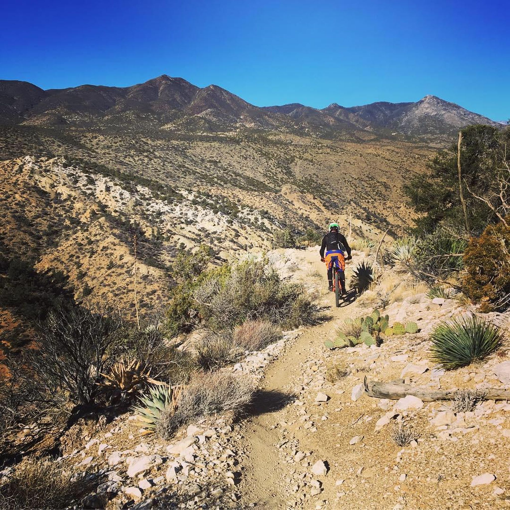
MTB Trails in Santa Rosa And San Jacinto Mountains National Monument
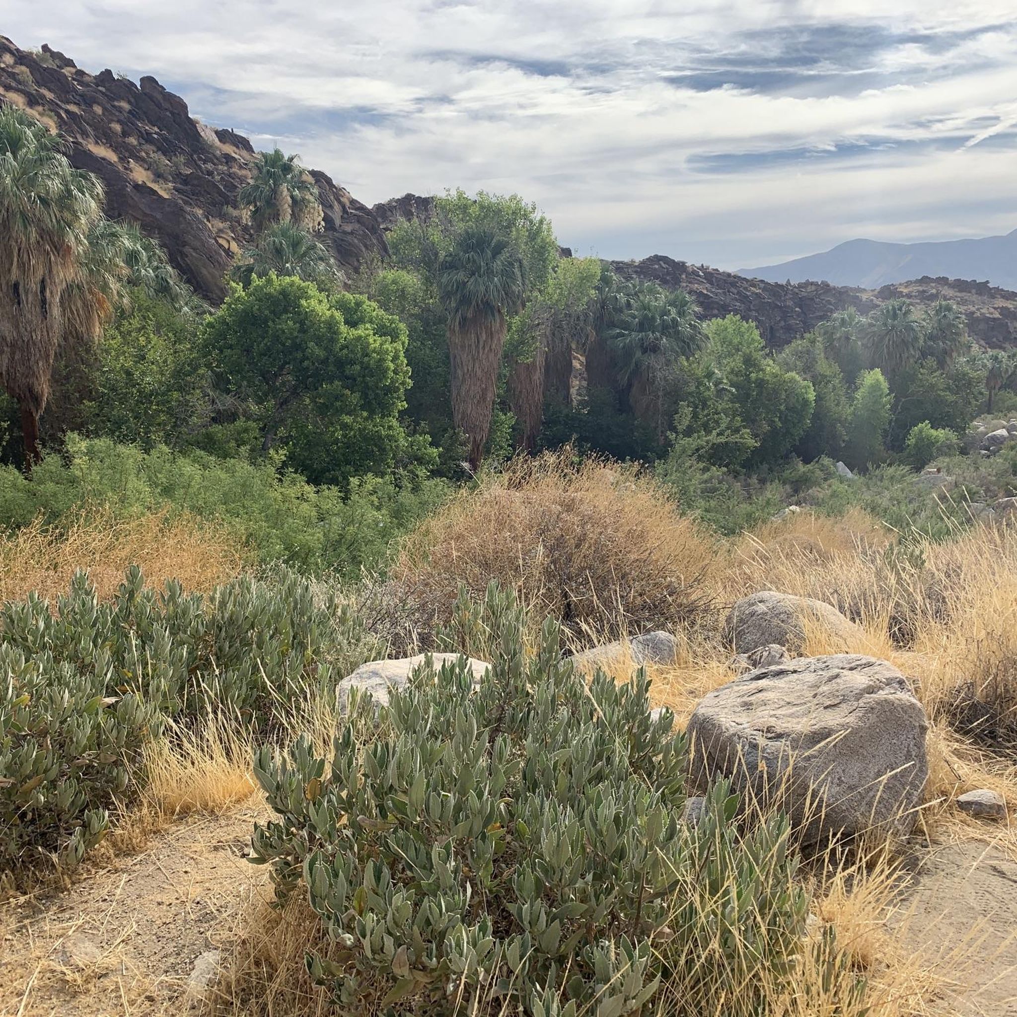
Cycling in Santa Rosa And San Jacinto Mountains National Monument
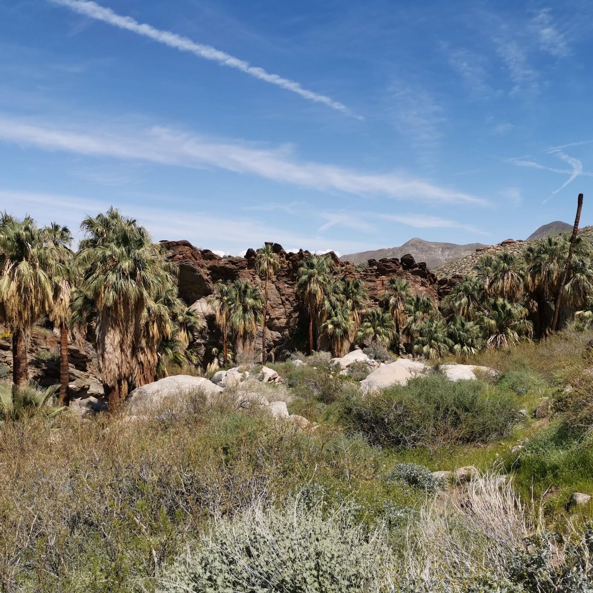
Road Cycling Routes in Santa Rosa And San Jacinto Mountains National Monument
Other adventures in Santa Rosa And San Jacinto Mountains National Monument


Tips from the Community

The San Jacinto Wilderness is one of a kind. At an elevation of 10,834 feet, San Jacinto Peak towers high above the California desert. You can hike plenty of trails including a section along the long distance Pacific Crest Trail. There is an emergency hut beneath the summit and close by even a restaurant and an aerial tramway station that gets you into Palm Springs. To camp out, you need a wilderness permit (available at Park Headquarters in Idyllwild and the Valley Ranger Station on the Palm Springs Aerial Tramway side) for the area for 5 Dollars per person. If you have a longdistance permit for hiking the PCT, you do not have to obtain an additional permit. Here is some more information on that: parks.ca.gov/?page_id=636
1
0
With 10,883 feet, Mount San Jacinto is the highest peak in the San Jacinto Mountains. There is a network of hiking trails around the summit and the San Jacinto State Park itself. If the weather turns for the worst, you can find shelter in a little hut close to the summit. You can either take a hike from Idyllwild on the west side of the mountain or Palm Springs on the east side. There is also an aerial tramway you can use to get into the San Jacinto Wilderness. If you feel adventurous, you can cross the mountain range using the Pacific Crest Trail.
0
0
As you might expect, the Peak Trail leads you to the summit of Mount San Jacinto and the shelter hut below. There is snow very likely at least until late spring if not into early summer.
5
0

This structure sits on Tahquitz Peak, at an elevation of 8,846 feet. The fire lookout was built in 1937, and is the highest lookout tower in the San Bernardino National Forest. It is maned by volunteers!
0
0
Tahquitz Peak is a great hiking destination with picture postcard views to the southeast and the Salton Sea. It got its name from a Native American legend saying that a demon wanted to possess the area. When the demon was killed, the spirit escaped and is now living in a cave in the San Jacinto Wilderness. San Bernadino National Forest operates the seasonal fire lookout at the summit of Tahquitz Peak which is mainly staffed by volunteers and is also the highest within the National Forest. The trail up to the mountain can be very dangerous in winter conditions, so bring proper gear. You need to obtain a free of charge wilderness permit from the Ranger Station in Idyllwild or call (909) 382-2921.
5
0
With 10,883 feet Mount San Jacinto is the highest peak in the San Jacinto Mountains. There is a network of hiking trails around the summit and the San Jacinto State Park itself. If the weather turns for the worst, you can find shelter in a little hut close to the summit. You can either take a hike from Idyllwild on the west side of the mountain or Palm Springs on the east side. There is also an aerial tramway you can use to get into the San Jacinto Wilderness. If you feel adventurous, you can cross the mountain range using the Pacific Crest Trail.
7
2
In the stone shelter you will find four bunk beds. It should be considered for emergencies, but especially PCT-Thruhikers are likely to spend the night in the hut.
5
0
Frequently Asked Questions
What are some of the most notable mountain peaks in Santa Rosa And San Jacinto Mountains National Monument?
The monument features several prominent peaks. San Jacinto Peak is the highest point in the San Jacinto Mountains, offering extensive hiking trails and a unique 'sky island' ecosystem. Tahquitz Peak is known for its scenic views towards the Salton Sea and a seasonal fire lookout. Santa Rosa Peak is the highest named mountain within the National Monument itself, providing significant views and cultural importance.
Are there challenging hiking trails to the mountain peaks?
Yes, many peaks in the monument offer challenging trails. For instance, the ascent to San Jacinto Peak can be quite strenuous, with options to hike from Idyllwild or Palm Springs. The Peak Trail specifically leads to the summit of Mount San Jacinto. Trails to Tahquitz Peak can also be very dangerous in winter conditions, requiring proper gear.
What kind of wildlife and plants can I expect to see around the mountain peaks?
The monument's dramatic elevation changes create diverse ecosystems. You can find California fan palm oases at lower elevations, transitioning to pinyon pines and high mountain meadows with limber pines at higher altitudes. The region supports varied wildlife, including deer, coyotes, bobcats, and an endangered subspecies of bighorn sheep.
Do I need a permit to hike or camp in the San Jacinto Wilderness area?
Yes, if you plan to camp out in the San Jacinto Wilderness, you need a wilderness permit, which costs $5 per person. These are available at the Park Headquarters in Idyllwild or the Valley Ranger Station on the Palm Springs Aerial Tramway side. A free wilderness permit is also required for day hikes to destinations like Tahquitz Peak, obtainable from the Ranger Station in Idyllwild.
What is the best way to access the higher elevations of San Jacinto Peak?
You can access the higher elevations of San Jacinto Peak via the Palm Springs Aerial Tramway. This transports visitors to the Mountain Station at 8,516 feet, providing access to observation decks, restaurants, and over 50 miles of trails in the San Jacinto Wilderness.
Are there any shelters available for hikers near the summits?
Yes, near the summit of San Jacinto Peak, there is the San Jacinto Summit Hut Shelter. This stone shelter provides four bunk beds and is intended for emergency use, though it's also used by long-distance hikers.
What cultural or historical significance do the Santa Rosa and San Jacinto Mountains hold?
The Santa Rosa mountains, in particular, are culturally significant due to numerous archaeological sites of the Cahuilla Indians. Additionally, Tahquitz Peak is named after a Native American legend involving a demon.
What outdoor activities can I do near the mountain peaks in this monument?
Beyond hiking and mountaineering, the region offers various outdoor activities. You can find numerous road cycling routes, such as the 'Palm Canyon – Palm Springs Art Museum loop,' or explore MTB trails like the 'Palm Canyon Epic.' There are also running trails, including the 'San Jacinto Peak via Round Valley Trail.' For more details, explore the guides for Road Cycling Routes, MTB Trails, and Running Trails in the area.
What is the most prominent peak in the monument?
While not the highest, Asbestos Mountain, at 5,249 feet (1,599 meters), is highlighted as the most prominent peak in the monument. Its prominence means it rises significantly above its surrounding terrain, often providing commanding views.
What are some other notable peaks to explore besides San Jacinto and Tahquitz?
Beyond the most well-known, other notable peaks include Santa Rosa Peak (the highest named mountain within the monument), Asbestos Mountain (the most prominent), Murray Hill, Palm View Peak, Pine Mountain, Pyramid Peak, and Lion Peak. Each offers unique perspectives and hiking opportunities within the monument's diverse landscape.
What makes the mountain peaks in Santa Rosa And San Jacinto Mountains National Monument unique?
The peaks are unique due to their dramatic elevation changes, creating a gradient of ecosystems from desert to alpine environments. This results in diverse flora, from California fan palm oases to high mountain pines, and a rugged, scenic landscape primarily composed of granitic rocks, forming a stunning backdrop to the Coachella Valley.
Most popular routes in Santa Rosa And San Jacinto Mountains National Monument
Most popular attractions in Santa Rosa And San Jacinto Mountains National Monument

Get inspired with the komoot mobile app


Explore more
See even more amazing summits in Santa Rosa And San Jacinto Mountains National Monument with these guides:
