Santa Rosa And San Jacinto Mountains National Monument
Santa Rosa And San Jacinto Mountains National Monument
Attractions and Places To See in Santa Rosa And San Jacinto Mountains National Monument - Top 20
Best attractions and places to see in Santa Rosa And San Jacinto Mountains National Monument encompass a diverse landscape where arid desert meets alpine peaks. This region features mountain ranges rising over 11,000 feet, creating distinct ecosystems from semiarid lower elevations to cooler, temperate higher elevations. The monument also holds cultural significance, having been home to the Cahuilla Native Americans for thousands of years.
Best attractions and places to see in Santa Rosa And San Jacinto Mountains National Monument
- The…
Last updated: May 25, 2026
Palm Springs Aerial Tramway Mountain Station
Highlight • Rest Area
Tip by

San Jacinto Peak
Highlight • Summit
Tip by
Sign up now to discover places like this
Get recommendations on the best single tracks, peaks, & plenty of other exciting outdoor places.
Sign up for free
Trailhead and Trading Post
Highlight • Rest Area
This land is owned by the local Native American Tribe. When entering the area from Palm Springs a toll …
Tip by

Tahquitz Peak
Highlight • Summit
Tip by
Andreas Canyon creek crossing
Highlight • Bridge
Tip by
Sign up for free to discover even more attractions in Santa Rosa And San Jacinto Mountains National Monument.
Sign up for free
Already have an account?
Start today with a free account
Your next adventure awaits.
Login or Signup
Popular around Santa Rosa And San Jacinto Mountains National Monument

Pacific Crest Trail from Mexico to Canada – 4,200 kilometres of wilderness

The tour of your life – music trails on the Pacific coast
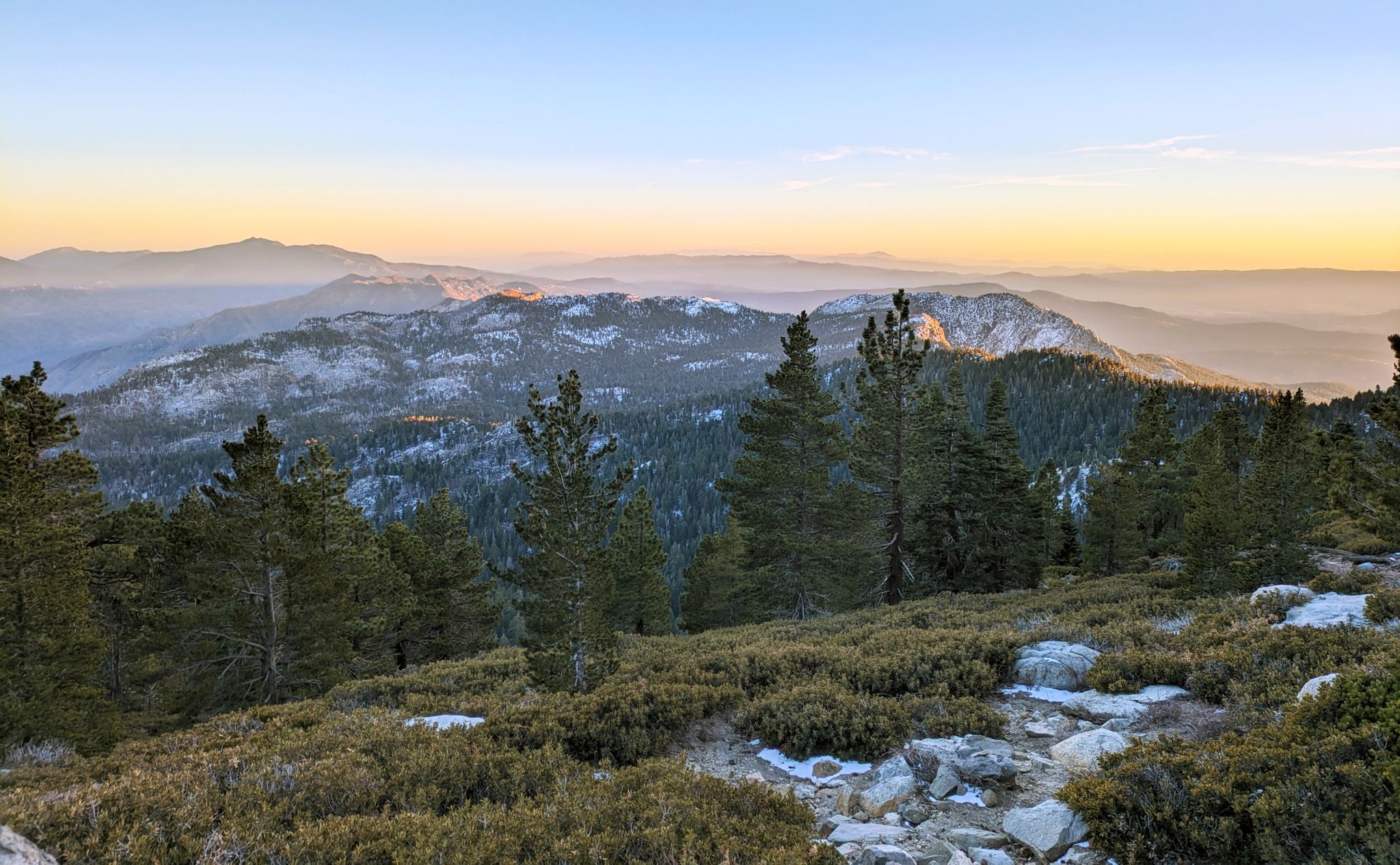
Climbing Mount San Jacinto on the Deer Springs Trail
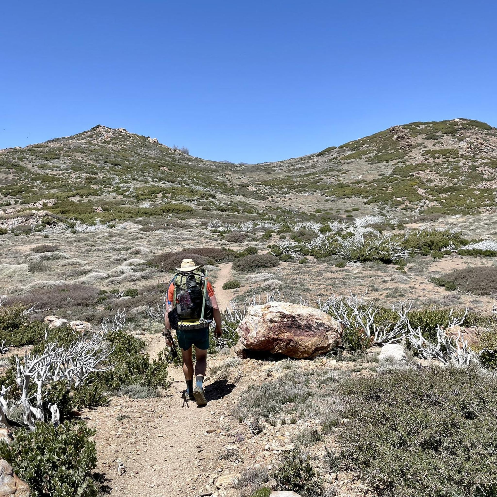
Hiking in Santa Rosa And San Jacinto Mountains National Monument
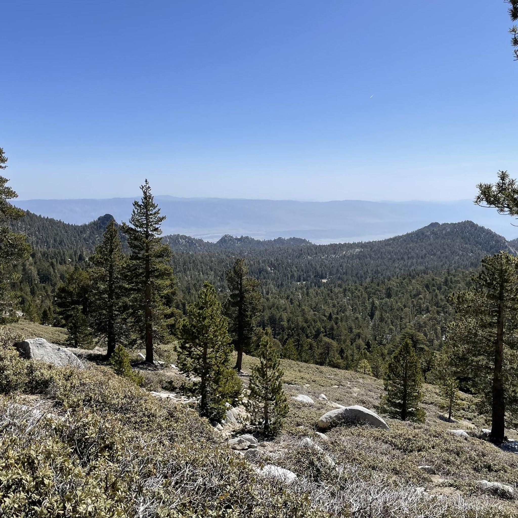
Running Trails in Santa Rosa And San Jacinto Mountains National Monument
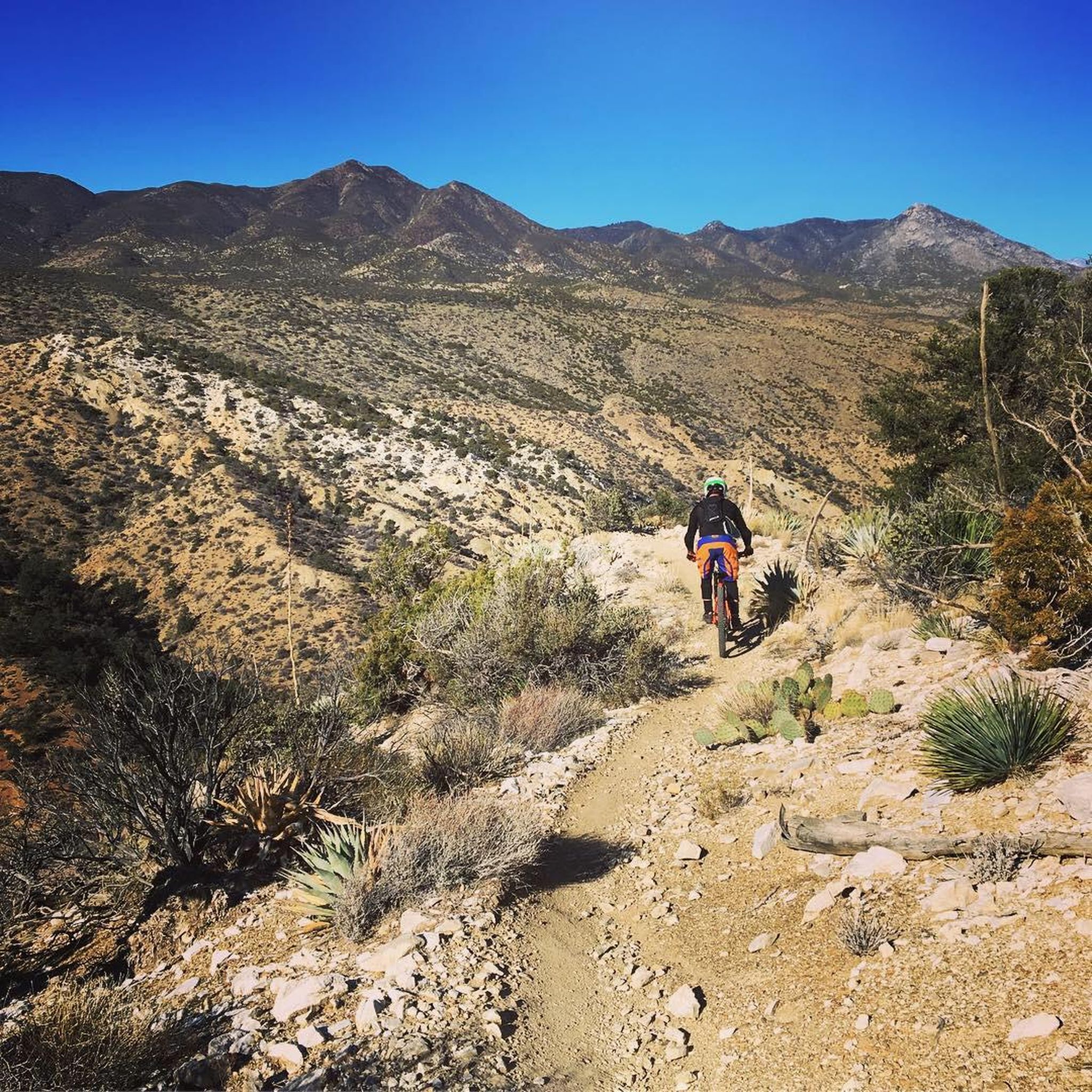
MTB Trails in Santa Rosa And San Jacinto Mountains National Monument
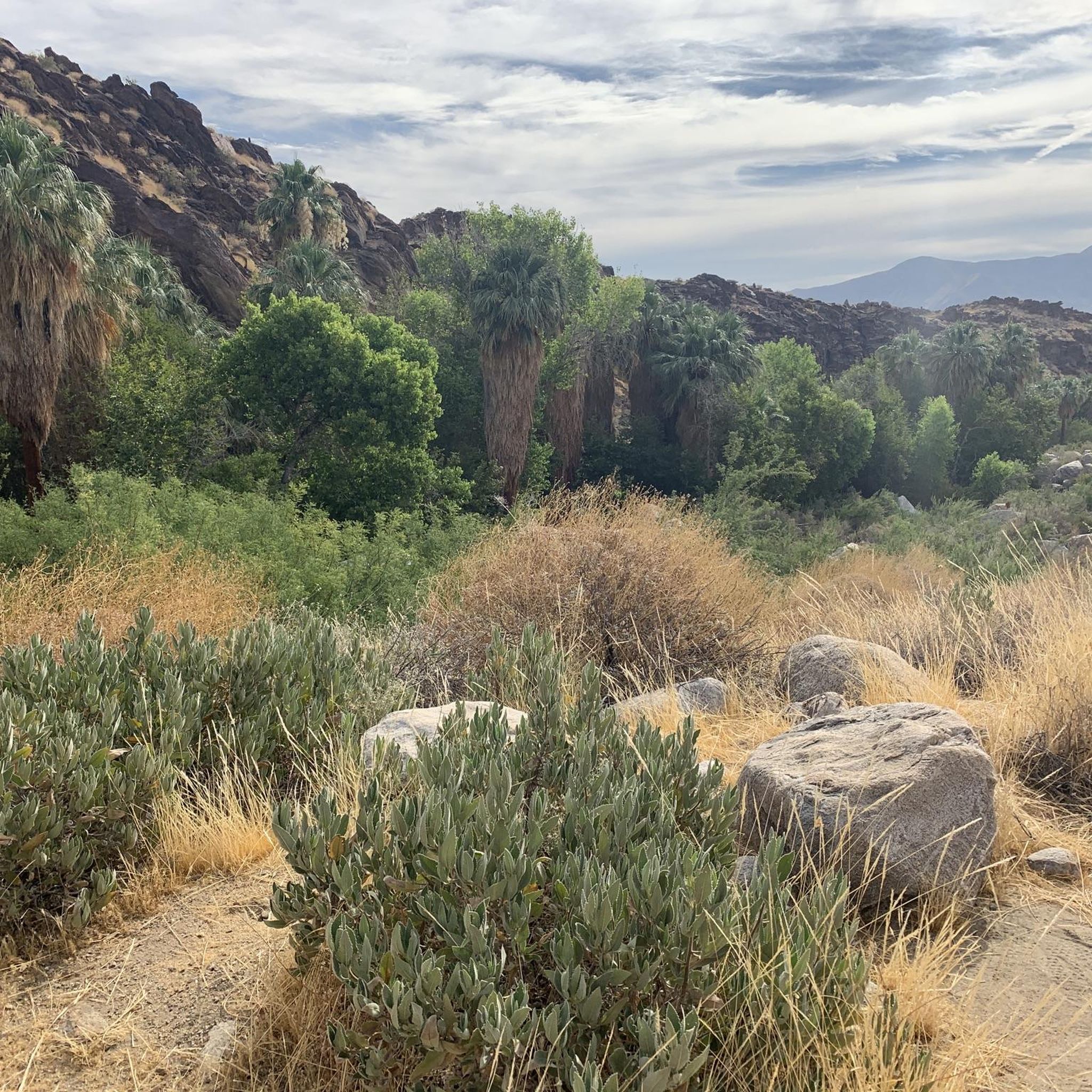
Cycling in Santa Rosa And San Jacinto Mountains National Monument
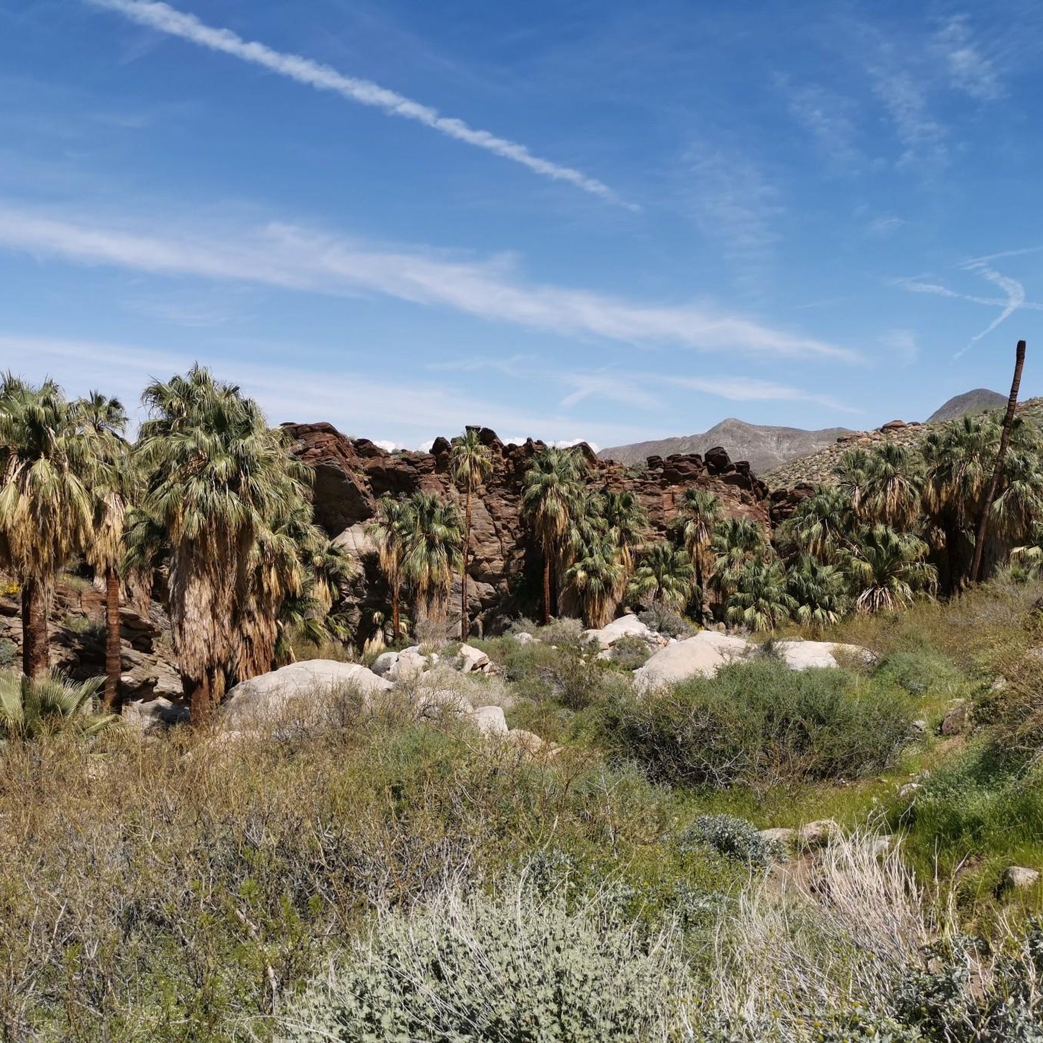
Road Cycling Routes in Santa Rosa And San Jacinto Mountains National Monument
Other adventures in Santa Rosa And San Jacinto Mountains National Monument


Tips from the Community

Beautiful little trail in the desert. Enjoyed the water rushing through the path that the Palm Trees created.
0
0

With 10,883 feet, Mount San Jacinto is the highest peak in the San Jacinto Mountains. There is a network of hiking trails around the summit and the San Jacinto State Park itself. If the weather turns for the worst, you can find shelter in a little hut close to the summit. You can either take a hike from Idyllwild on the west side of the mountain or Palm Springs on the east side. There is also an aerial tramway you can use to get into the San Jacinto Wilderness. If you feel adventurous, you can cross the mountain range using the Pacific Crest Trail.
0
0

Parking is directly outside the Trading Post in the dirt lot. This land is owned by the local Native American Tribe. When entering the area from Palm Springs a toll booth where you will pay your entry fee. After paying the fee all of the Indian Canyons trails are accessible and you will notice sings for the three canyons. It is advised to park at the trading post and make sure all your water is toped off before you hit the trial.
0
0
Reaching this point, hikers are halfway finished with the loop. The creek crossing has a wood boardwalk over it to avoid wet feet. This water source is reliable but bringing water is still highly recommended due to the heat this area can experience.
0
0
This is your unique "ride" into the stunning San Jacinto Wilderness from Palm Springs – or vice versa. The aerial tramway is the world's largest rotating aerial tram car that shows you great view while hovering over the canyon. You will find more information such as prices and hours right here: https://pstramway.com/
4
0
The Tram is currently running at; Weekdays = First Tram up at 10:00 am Weekends = First Tram up at 8:00 am Sunday – Thursday = Last Tram down at 9:30 pm Friday & Saturday = Last Tram down at 10:30 pm
2
1
This structure sits on Tahquitz Peak, at an elevation of 8,846 feet. The fire lookout was built in 1937, and is the highest lookout tower in the San Bernardino National Forest. It is maned by volunteers!
0
0

This steep (but easy to walk) path connects the trails with the aerial tramway
1
2
Frequently Asked Questions
What are some prominent natural features and landmarks to explore in the Santa Rosa and San Jacinto Mountains National Monument?
The monument is rich in natural beauty. You can experience the dramatic elevation changes along the Palms to Pines Scenic Byway (Highway 74) or visit the unique palm oases such as Palm Canyon, Andreas Canyon, and Murray Canyon, which are part of the larger Indian Canyons system. For impressive views, consider a trip up to San Jacinto Peak, the highest point in the San Jacinto Mountains, or Tahquitz Peak, known for its panoramic vistas.
What kind of hiking opportunities are available in the monument?
The monument offers over 200 miles of hiking trails, ranging from easy nature walks to challenging mountain ascents. Popular options include the Bump and Grind Trail for desert views, the Art Smith Trail known for wildflowers, and the Andreas Canyon Trail, which is a 1-mile path near Palm Springs. A section of the Pacific Crest Trail also runs through the San Jacinto Wilderness. For easier options, consider the easy hikes like the Palm Canyon Trail or the Andreas Canyon loop.
Are there any family-friendly attractions or activities in the area?
Yes, there are several family-friendly options. The Palm Springs Aerial Tramway Mountain Station offers a unique experience, transporting visitors to an altitude of 8,516 feet with observation decks, restaurants, and access to trails. The Santa Rosa and San Jacinto Mountains National Monument Visitor Center features the Ed Hastey Garden Trail, a short, accessible path introducing desert plants. The Indian Canyons, including Andreas Canyon with its creek crossing, are also popular for family walks.
What cultural and historical sites can I visit?
The monument has a rich cultural history, being home to the Cahuilla Native Americans for thousands of years. You can explore archaeological sites, including those with rock art and ancient irrigation systems, particularly within the Indian Canyons. The Agua Caliente Cultural Museum in Palm Springs also showcases the history and culture of the Agua Caliente Band of Cahuilla Indians.
What is the best time of year to visit the Santa Rosa and San Jacinto Mountains National Monument?
The monument exhibits diverse ecosystems, meaning conditions vary greatly by elevation. Lower desert elevations are best visited in the cooler months from fall through spring (October to April). Higher mountain elevations, like those accessed via the Palm Springs Aerial Tramway or around San Jacinto Peak, offer cooler temperatures and are popular during the warmer summer months (May to September) for hiking, though winter can bring snow and challenging conditions.
Are there opportunities for mountain biking in the monument?
Yes, several trails are open to mountain bikers, offering technical challenges and scenic views. You can find various routes, including the Palm Canyon Epic or trails around Cathedral City and the Hopalong Cassidy Trail. For more details on specific routes, refer to the MTB Trails guide for the region.
Where can I find information or a visitor center for the monument?
The Santa Rosa and San Jacinto Mountains National Monument Visitor Center is located on Highway 74 in Palm Desert. It provides interpretive displays, information about the monument, and hosts events. It's a great starting point for your visit.
What kind of wildlife can I expect to see?
The monument is home to diverse wildlife. Keep an eye out for the endangered Peninsular desert bighorn sheep, mule deer, coyotes, and bobcats. Birdwatchers might spot golden eagles. Rattlesnakes are also present, so always be aware of your surroundings.
Do I need a permit for hiking certain trails?
Yes, some areas, particularly within the San Jacinto Wilderness, require permits. For example, to hike to Tahquitz Peak, you need to obtain a free wilderness permit from the Ranger Station in Idyllwild. It's always best to check with the local ranger station or visitor center for current permit requirements before heading out.
What are the options for cycling in the area?
The region offers various cycling routes, from easy to difficult. You can explore routes like the Green Palms loop via Palm Springs CV Link Bike Path or the South Palm Canyon Drive to South Sunrise loop. For more detailed cycling routes and their difficulties, check out the Cycling in Santa Rosa And San Jacinto Mountains National Monument guide.
Where can I park when visiting attractions like the Indian Canyons?
When visiting the Indian Canyons, parking is available directly outside the Trailhead and Trading Post in a dirt lot. Note that this land is owned by the local Native American Tribe, and an entry fee is typically required at a toll booth when entering the area from Palm Springs.
Most popular routes in Santa Rosa And San Jacinto Mountains National Monument
Most popular attractions in Santa Rosa And San Jacinto Mountains National Monument

Get inspired with the komoot mobile app


Explore more
Still not found the Highlight you’re looking for? See guides of the top attractions in other regions:
