Sawtooth Mountains A Wilderness Study Area
Sawtooth Mountains A Wilderness Study Area
The best running trails in Sawtooth Mountains A Wilderness Study Area
112
runners
17
runs
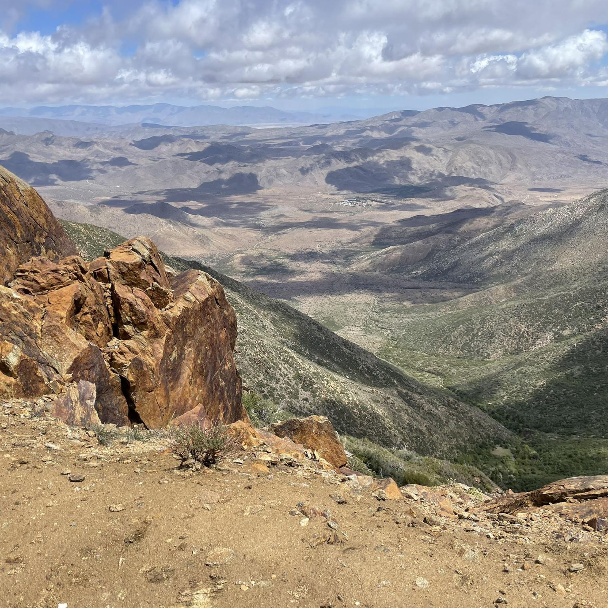
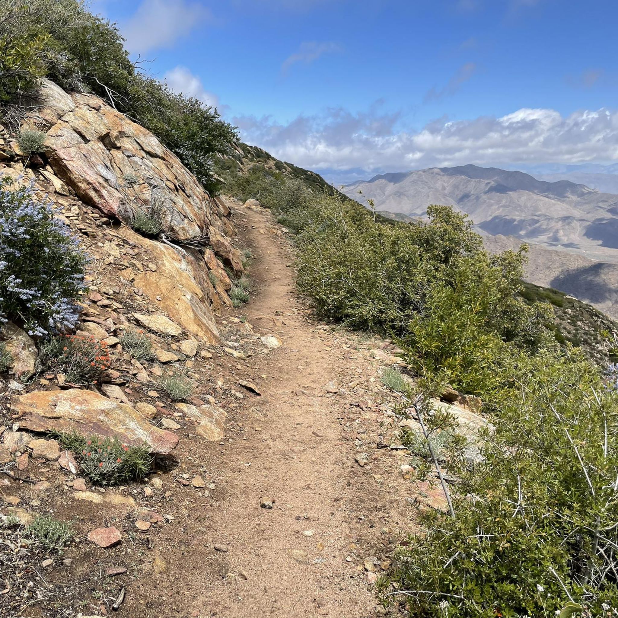
Jogging in Sawtooth Mountains A Wilderness Study Area offers an extensive network of trails within a landscape characterized by rugged mountain ranges, jagged peaks, and deep valleys. The region features over 300 alpine lakes, forested valleys, and expansive alpine meadows, providing diverse terrain for running. Trails range from gentle slopes to challenging ascents, with surfaces varying from mostly paved sections to uneven paths with rocks and roots. The area's topography, shaped by significant glacial formations, includes peaks rising above 10,000…
Last updated: June 29, 2026
12
runners
6.64km
00:53
190m
190m
Moderate run. Good fitness required. Mostly paved surfaces. Suitable for all skill levels.
6
runners
Hard run. Very good fitness required. Mostly accessible paths. Some sure footedness required.

Sign up for free
12
runners
12.7km
01:34
140m
140m
Moderate run. Good fitness required. Mostly paved surfaces. Suitable for all skill levels.
12
runners
19.3km
02:25
250m
250m
Hard run. Very good fitness required. Mostly accessible paths. Some sure footedness required.
7
runners
12.0km
01:31
190m
190m
Moderate run. Good fitness required. Mostly paved surfaces. Suitable for all skill levels.
Get access to more routes and recommendations from other explorers.
Sign up for free
Already have an account?
Our route recommendations are based on thousands of hikes, rides, and runs completed by other people on komoot.
Start today with a free account
Your next adventure awaits.
Login or Signup
Popular around Sawtooth Mountains A Wilderness Study Area
Tips from the Community

A quiet pull-off spot just off the highway, surrounded by tall pines and cooler air. The pond itself is small but scenic—a nice excuse to stop, stretch your legs, and enjoy a quick breather before continuing the climb. Not much traffic back here, so it feels like a peaceful break from the road.
0
0

This junction connects Noble Canyon Trail and Indian Creek Trail. It is a good marker for longer hikes moving east to Laguna Meadows or Mount Laguna, or moving north towards Pine Mountain.
0
0
This small seasonal pond in the Laguna Meadows is quite pretty, especially in the spring and early summer. It sits at the junction between Sunset Trail and Kemp Spur Trail, making it a good spot to pause and either continue your hike through the meadows or loop around to another trail.
0
0
Big Laguna Lake sits in the middle of the Laguna Meadows. It is a beautiful sight along the trail, surrounded by pine trees and with a view of the Laguna Mountains in the distance.
0
0
This smaller lake in the Laguna Meadows near the campground usually fills after snow melt and heavier rain. Aside from that it is dry for most of the year, though, so don't be surprised if you don't see a lake where you see it on the map! If you catch it full, it is a very pretty sight along the meadows. But even when dry, you can see some cool rock formations here.
0
0

Indian Creek Trail connects Cuyamaca State Park with Pine Mountain and Noble Canyon in the Cleveland National Forest.
0
0
The Water of the Woods Trail leads to a small pond. Take a break and admire the blooming water lilies in spring and early summer.
1
0
A fun singletrack that meanders through the meadows of the Big Laguna Recreation Area.
1
0
Frequently Asked Questions
What kind of terrain can I expect on running routes in the Sawtooth Mountains Wilderness Study Area?
The Sawtooth Mountains Wilderness Study Area offers a diverse range of terrain for runners. You'll find everything from mostly paved sections to uneven paths with steep sections, rocks, and roots. This variety ensures a different experience, whether you prefer smoother surfaces or more technical trails requiring sure-footedness and sturdy shoes.
Are there any easy running routes suitable for beginners or a relaxed jog?
Yes, while many routes offer a challenge, there are options for easier runs. The region features trails with gentle slopes, perfect for a relaxed jog. For example, the area includes routes described as moderate, such as the Storm Canyon Overlook – Garnet Peak loop from Little Laguna Lake, which is 6.3 miles (10.2 km) with scenic views.
What are some challenging running routes for experienced runners in the Sawtooth Mountains?
For those seeking a more rigorous running experience, the Sawtooth Mountains Wilderness Study Area has several demanding routes. The Pine Mountain – Pioneer Mail Picnic Site loop from Garnet Mountain is a difficult 19.1 miles (30.7 km) trail with significant elevation gain. Another challenging option is the Storm Canyon Overlook – Desert View Picnic Area loop from Penny Pines Trailhead, spanning 23.9 km with considerable elevation.
Are there any loop running routes in the Sawtooth Mountains Wilderness Study Area?
Yes, many of the running routes in the Sawtooth Mountains Wilderness Study Area are loops, offering a varied experience without retracing your steps. Examples include the Water of the Woods – Water of the Woods Trail loop from Little Laguna Lake, which leads through forested areas, and the Pine Mountain – Pioneer Mail Picnic Site loop from Penny Pines Trailhead.
What natural features or viewpoints can I expect to see while running in this region?
The Sawtooth Mountains Wilderness Study Area is renowned for its stunning natural beauty. Runners can expect breathtaking scenery, including rugged mountain ranges, jagged peaks, and deep valleys. The area is dotted with over 300 alpine lakes, such as the vibrant Redfish Lake, and features expansive alpine meadows and forested valleys. Many trails offer panoramic vistas, like those found on the Storm Canyon Overlook routes or from Foster Point.
Is the Sawtooth Mountains Wilderness Study Area suitable for family-friendly jogs?
While some trails are challenging, the region does offer options that can be enjoyed by families, particularly those with a good level of fitness. Look for shorter, less strenuous routes with gentler slopes and mostly paved surfaces, which are more suitable for a family outing. Always check the route details for distance and elevation before heading out.
Are dogs allowed on the running trails in the Sawtooth Mountains Wilderness Study Area?
Regulations regarding dogs can vary within wilderness study areas and national recreation areas. While the Sawtooth Mountains Wilderness Study Area is generally open to outdoor activities, it's crucial to check specific trail regulations or local signage regarding pets, especially within designated wilderness areas where restrictions might apply to protect wildlife and natural habitats. Always keep dogs on a leash and practice Leave No Trace principles.
What is the best time of year to go running in the Sawtooth Mountains?
The best time to go running in the Sawtooth Mountains generally depends on the specific conditions and your preference. Summer and early autumn typically offer the most favorable weather with clear trails. During winter, some trails may be covered in snow, requiring different gear or limiting access. Always check local weather forecasts and trail conditions before planning your run.
Are there any permits required for running in the Sawtooth Mountains Wilderness Study Area?
Generally, permits are not required for day-use activities like running in the Sawtooth Mountains Wilderness Study Area. However, for specific activities, overnight stays, or in certain designated wilderness sections, permits might be necessary. It's always a good idea to check with the local land management agency, such as the Bureau of Land Management (BLM), for the most current regulations. You can find more information on their website: blm.gov.
Where can I find parking for the running trails in the Sawtooth Mountains?
Access points to the Sawtooth Mountains Wilderness Study Area often have designated parking areas. For example, trails might start from locations like Penny Pines Trailhead or near Little Laguna Lake. It's advisable to check the specific starting point of your chosen route on komoot for details on available parking. Some areas, especially within the broader Sawtooth National Recreation Area, may have visitor centers or picnic sites that serve as trailheads with parking facilities.
What should I wear or bring for a run in the Sawtooth Mountains?
Given the varied terrain and potential for changing weather, it's recommended to wear layers and sturdy running shoes with good grip. Bring plenty of water, especially for longer routes, and snacks. A map or GPS device (like komoot on your phone) is essential, as is sun protection. For more challenging or remote trails, consider carrying a first-aid kit and being prepared for sudden weather changes.
Are there opportunities for wild swimming or cooling off in lakes after a run?
The Sawtooth Mountains region is famous for its numerous alpine lakes, with over 300 dotting the landscape. Many of these pristine lakes, such as Redfish Lake and Sawtooth Lake, offer beautiful settings. While specific regulations for swimming may vary, the opportunity to cool off in these natural waters after a run is a significant draw for many visitors, provided it's safe and permitted.
Most popular routes in Sawtooth Mountains A Wilderness Study Area

Get inspired with the komoot mobile app


Explore more
Browse the best Running Trails & Routes in other regions.
