The best walks and hikes in Sawtooth Mountains A Wilderness Study Area
4.8
(53)
649
hikers
69
hikes
Hiking in Sawtooth Mountains A Wilderness Study Area offers exploration across a diverse desert landscape in eastern San Diego County. The region is characterized by an interplay of ridges, valleys, and canyons, with elevations ranging from 1,400 feet to 5,600 feet. Vegetation transitions from dense chaparral at higher elevations to low desert creosote brush and Sonoran Desert plants in arid areas. This wilderness provides opportunities for solitude amidst its varied topography.
Best hiking trails in Sawtooth Mountains A Wilderness Study…
Last updated: October 4, 2026
11
hikers
Moderate hike. Good fitness required. Easily-accessible paths. Suitable for all skill levels.
4.60km
01:22
180m
50m
Easy hike. Great for any fitness level. Easily-accessible paths. Suitable for all skill levels.

5.0
(1)
27
hikers
3.70km
01:08
130m
130m
Easy hike. Great for any fitness level. Easily-accessible paths. Suitable for all skill levels.
4
hikers
2.64km
00:44
50m
50m
Easy hike. Great for any fitness level. Easily-accessible paths. Suitable for all skill levels.
5.0
(1)
2
hikers
9.02km
02:42
270m
270m
Moderate hike. Good fitness required. Easily-accessible paths. Suitable for all skill levels.
Get access to more routes and recommendations from other explorers.
Already have an account?
Our route recommendations are based on thousands of hikes, rides, and runs completed by other people on komoot.
Start today with a free account
Your next adventure awaits.
Popular around Sawtooth Mountains A Wilderness Study Area
Tips from the Community

Garnet Peak is a popular 6000-foot peak that has sprawling views of the nearby forest and stretching out into the Anza-Borrego Desert area. It is a cool contrast in landscapes, and the hike up to the summit is straightforward and slightly inclined. It is one of the more popular peaks in the area, so be prepared to see other hikers on your way up.
0
0


Kwaaymii Point is a spiritual point especially for the indigenous people. On a clear day you can look over the desert including the Sawtooth Range and Cottonwood Canyon.
4
0
You are hiking in a little valley with beautifully round shaped boulders. There are also some nice spots to spend the night.
3
0
If the milage fits these are some amazing spots to pitch a tent or just cowboy camping under the stars between the round shaped rocks.
4
0
If you hike northbound, you mastered the first 50 miles of the PCT! Just 2,600 to go.
1
1
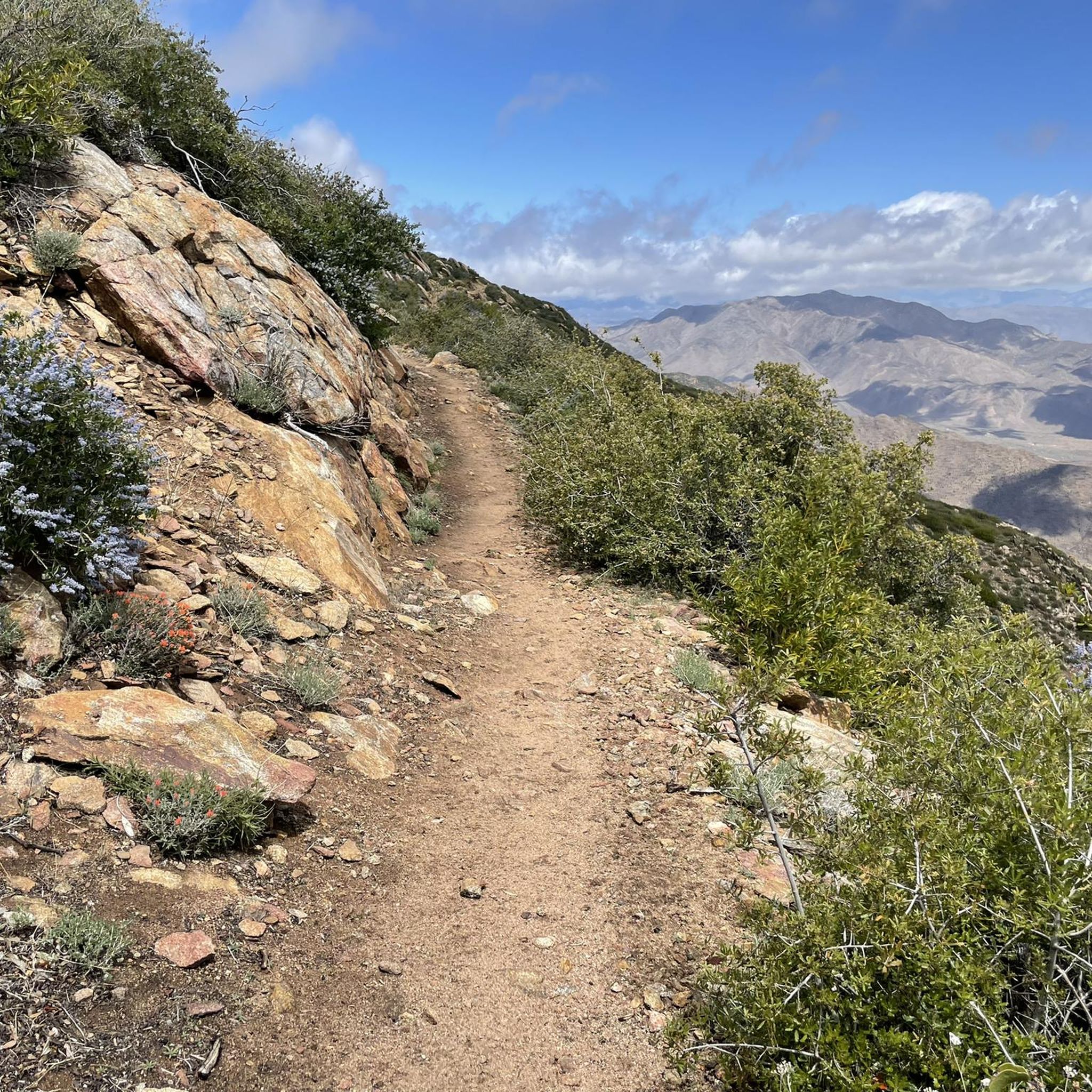
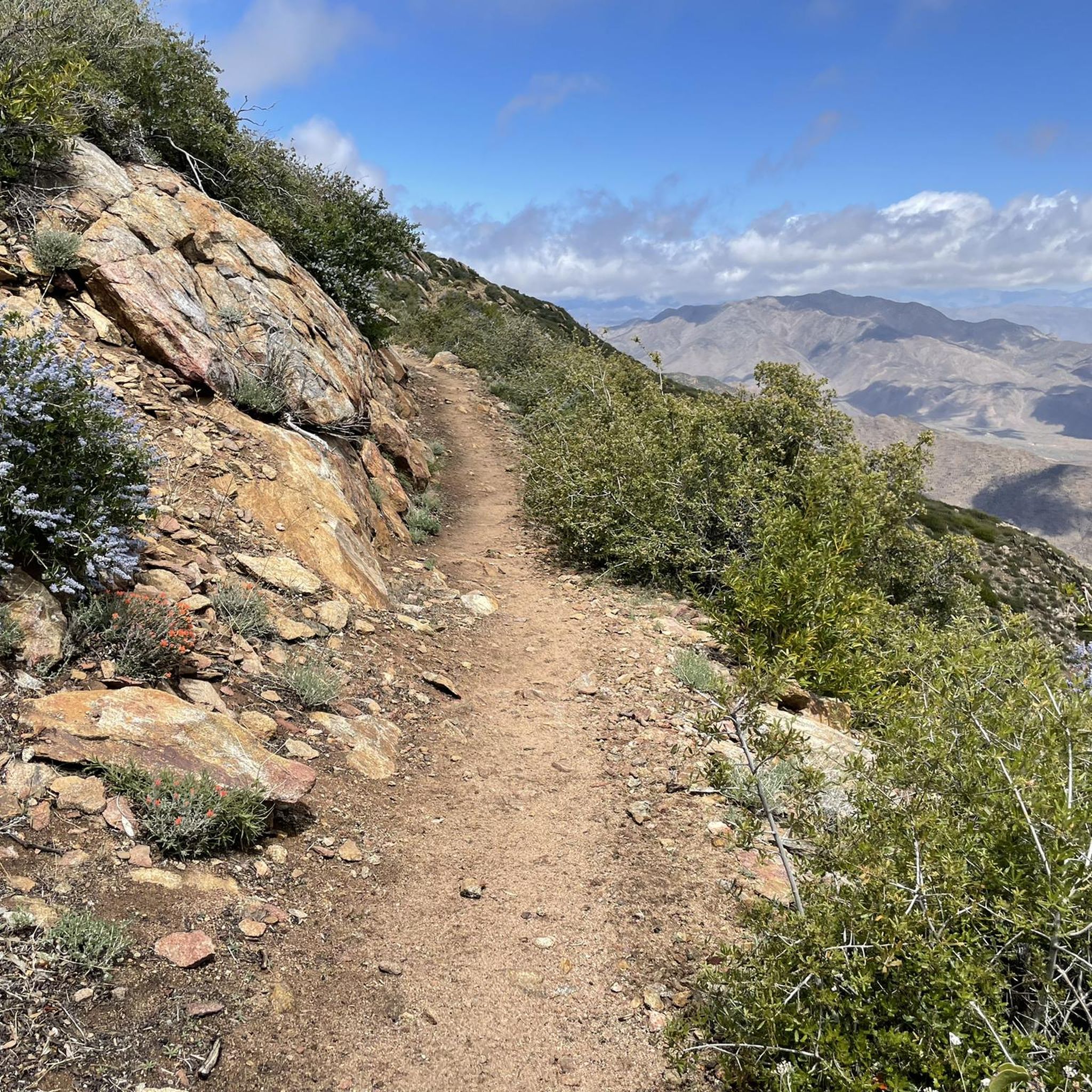
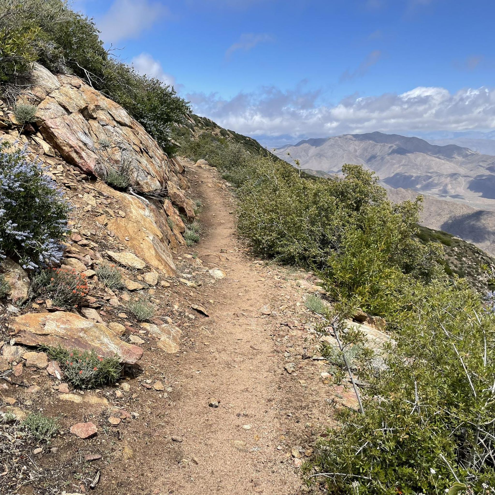
After leaving Pioneer Mail Picnic area you will walk along a wide ridge leading to Kwaamy Point. The winds can be brutal, but the view into the Anza Borrego Desert with the Butterfield Ranch is majestic.
5
0

Picnic area with benches and tables and a toilet. The water from the well should be filtered.
0
0
Frequently Asked Questions
How many hiking trails are available in Sawtooth Mountains A Wilderness Study Area?
There are over 60 hiking routes documented in the Sawtooth Mountains A Wilderness Study Area. These trails offer a range of experiences, from easy walks to more challenging treks, exploring the diverse desert landscapes.
What kind of terrain and elevation changes can I expect on hikes in this wilderness area?
The Sawtooth Mountains Wilderness Study Area features a diverse topography with ridges, valleys, and canyons. Elevations range significantly from 1,400 feet to 5,600 feet. You'll encounter transitional vegetation, moving from dense chaparral at higher elevations to low desert creosote brush and Sonoran Desert plants in arid regions. Trails often include both uphill and downhill stretches, providing varied challenges.
Are there any family-friendly hiking options in the Sawtooth Mountains Wilderness Study Area?
Yes, the area offers several easy routes suitable for families. For instance, the Kwaaymii Point via Pacific Crest Trail is an easy 1.6-mile path that provides access to the renowned Pacific Crest Trail, offering a gentle introduction to the wilderness.
What are some notable natural features or viewpoints to look out for while hiking?
Hikers can enjoy unique rock formations and diverse desert plant life, including ocotillo, cholla cactus, and creosote bush. The area also offers stunning views of rugged mountains and broad valleys. Keep an eye out for raptors like golden eagles soaring overhead, and other wildlife such as San Diego horned lizards.
Are dogs allowed on the hiking trails in Sawtooth Mountains A Wilderness Study Area?
While the region is part of a Wilderness Study Area managed by the BLM, specific regulations regarding dogs can vary. It's generally recommended to keep dogs on a leash to protect wildlife and preserve the natural environment. Always check local signage or the BLM website for the most current rules regarding pets.
What is the best time of year to visit the Sawtooth Mountains for hiking?
Given its desert environment, the cooler months from fall through spring (roughly October to April) are generally the most pleasant for hiking in the Sawtooth Mountains Wilderness Study Area. Summers can be extremely hot, making hiking challenging and potentially dangerous due to high temperatures and limited water sources.
Are there any circular or loop hikes available in the area?
Yes, there are options for loop hikes. One example is the Penny Pines Trailhead – Pioneer Mail Picnic Site loop from Garnet Peak, which is a more challenging 11.5-mile route offering extensive views and varied terrain.
Where can I find parking or trailhead access for these hikes?
Primary public access to the wilderness is often from the end of McCain Valley. For example, the Pepperwood Height Trail starts from this area. To reach this trailhead, visitors can exit Interstate 8 at Manzanita Boulevard, follow State Route 94 east to McCain Valley, and continue for 13 miles to Cottonwood Campground. Specific trailhead parking details can often be found on individual route pages.
What is the general difficulty level of hikes in the Sawtooth Mountains Wilderness Study Area?
The hiking trails in this area cater to various skill levels. Out of over 60 routes, approximately 25 are considered easy, 37 are moderate, and 7 are difficult. This range ensures options for both casual walkers and experienced hikers seeking more challenging terrain.
What do other hikers enjoy most about hiking in Sawtooth Mountains A Wilderness Study Area?
The area is highly rated by the komoot community, with an average score of 4.8 stars from over 50 reviews. Hikers often praise the opportunities for solitude, the diverse desert landscapes, and the stunning views of the rugged mountains and valleys. The varied terrain and transitional vegetation are also frequently highlighted as unique aspects of the experience.
Are there any long-distance trails or extended hiking opportunities?
Yes, the area includes sections of longer trails. The Pacific Crest Trail: California Section A is a 5.6-mile segment that leads through varied desert terrain, offering a taste of this renowned long-distance route. Additionally, the Canyon Road Trail is noted as the longest trail within the wilderness, stretching for 18 miles.
Do I need any permits to hike in the Sawtooth Mountains Wilderness Study Area?
As a Wilderness Study Area managed by the Bureau of Land Management (BLM), permits are generally not required for day hiking. However, it's always advisable to check the official BLM website or local ranger stations for any specific regulations or permit requirements that might apply to certain activities or overnight stays.
Most popular routes in Sawtooth Mountains A Wilderness Study Area

Get inspired with the komoot mobile app


Explore more
Browse the best Hikes in other regions.
