The best running trails in Usery Mountain Regional Park
3.0
(4)
201
runners
44
runs
Best jogging routes in Usery Mountain Regional Park traverse the Sonoran Desert landscape, characterized by the Usery Mountains and the western Goldfield Mountains. The region features an extensive network of trails, offering a mix of hard-packed dirt, gravel, and some paved sections. Joggers can experience varied terrain, from flat paths to routes with small hills and rocky areas, amidst iconic saguaro cacti and palo verde trees. The park's elevation ranges from 1,700 to 2,750 feet, providing panoramic desert views.
Best jogging routes in Usery Mountain Regional Park
- The most popular jogging route is Levee Trail – South Cat Peak loop from Merkle Hills, a 6.2 miles (10.0 km) trail that takes 1 hour 4 minutes to complete. This route offers views of the desert landscape and access to South Cat Peak.
- Another top favourite among local runners is Running loop from Silver Spur Ranch, a moderate 7.8 miles (12.5 km) path. This route winds through the desert, showcasing the unique flora and fauna of the Sonoran ecosystem.
- Local runners also love the Blevins Trail – South Cat Peak loop from Usery Mountain Regional Park, a 7.1 miles (11.4 km) trail leading through the Usery Mountains, often completed in about 1 hour 14 minutes.
- Jogging in Usery Mountain Regional Park is defined by its Sonoran Desert ecosystem, saguaro cacti, and desert mountain views. The trail network offers options for easy, moderate, and difficult ability levels.
- The guide includes highly-rated routes that showcase the best of the region's landscape. Nearly 300 runners have used komoot to explore Usery Mountain Regional Park's varied terrain.
Last updated: September 30, 2026
21
runners
Moderate run. Good fitness required. Mostly accessible paths. Some sure footedness required.
5.0
(1)
15
runners
Moderate run. Good fitness required. Mostly paved surfaces. Suitable for all skill levels.

13
runners
Hard run. Very good fitness required. Sure-footedness, sturdy shoes and alpine experience required.
8
runners
Moderate run. Good fitness required. Mostly paved surfaces. Suitable for all skill levels.
3
runners
Moderate run. Good fitness required. Mostly paved surfaces. Suitable for all skill levels.
Get access to more routes and recommendations from other explorers.
Already have an account?
Our route recommendations are based on thousands of hikes, rides, and runs completed by other people on komoot.
Start today with a free account
Your next adventure awaits.
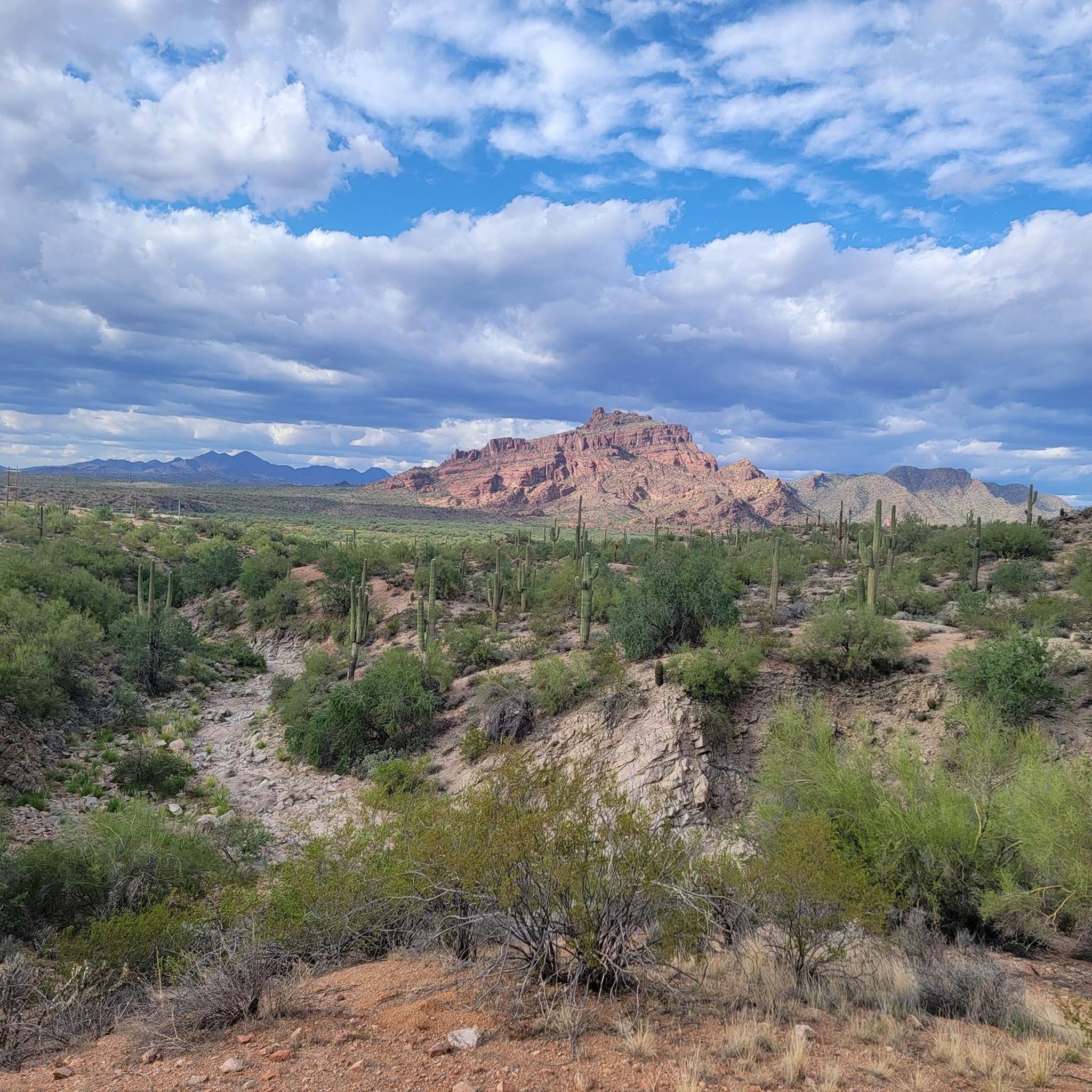
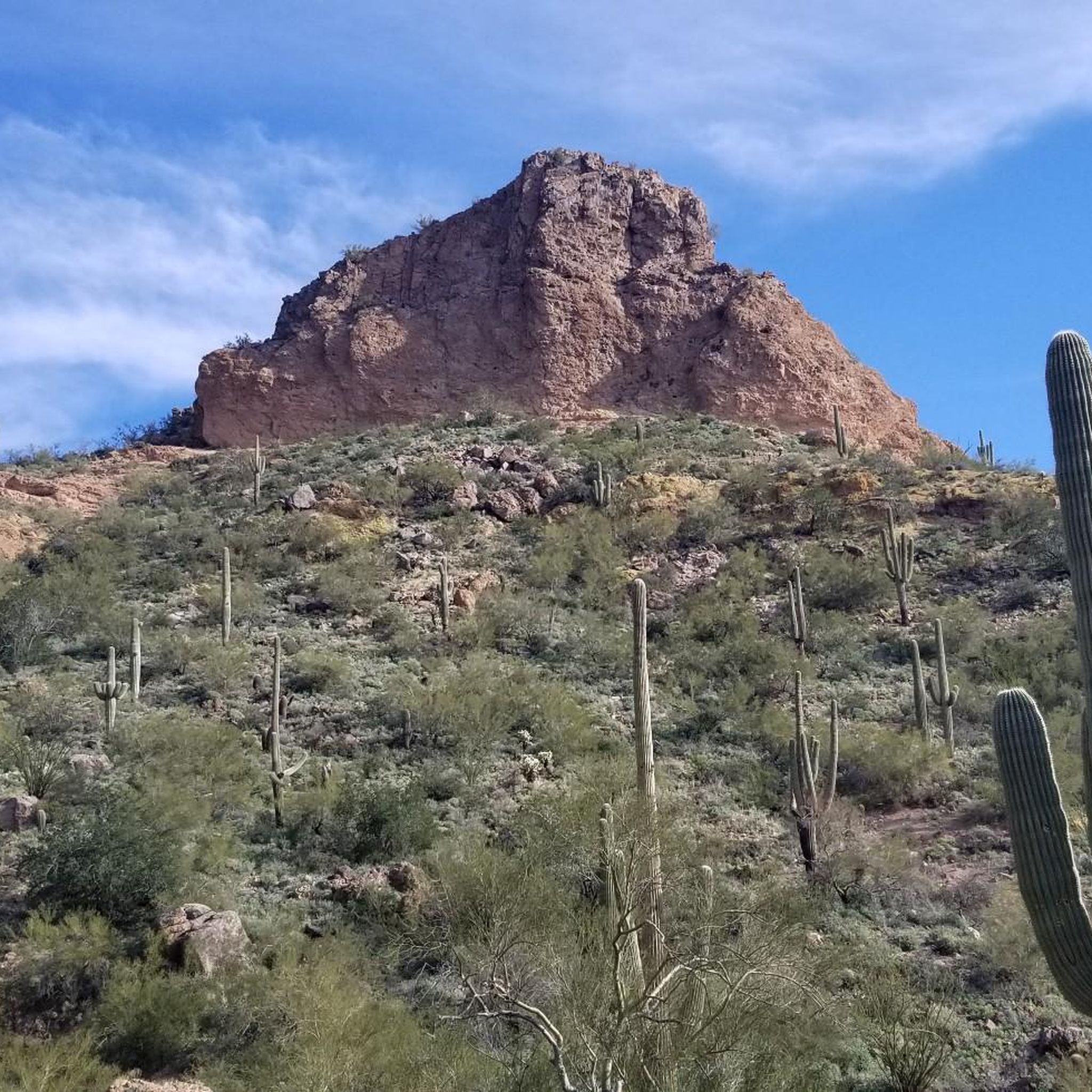
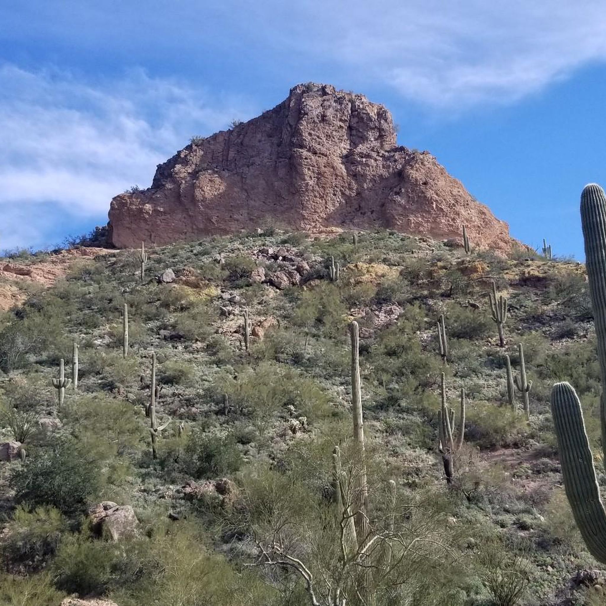
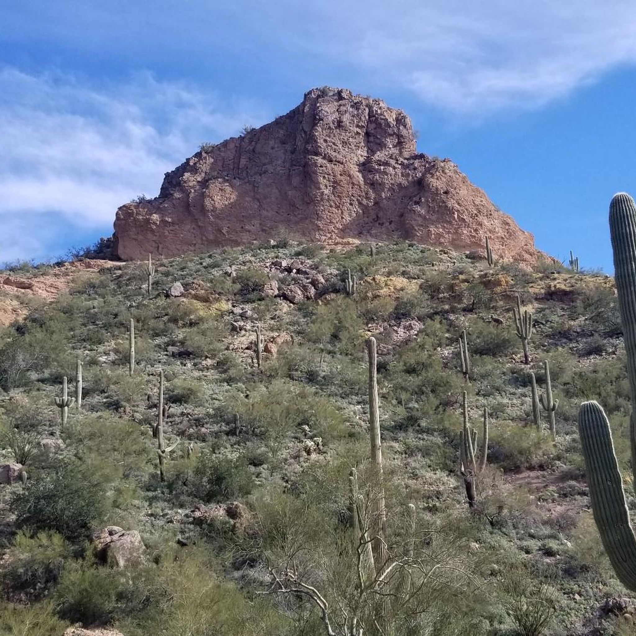

Tips from the Community

Blevins Trail in Usery Mountain Regional Park near Mesa, Arizona, is a popular spot for gravel cycling thanks to its well-groomed, mostly flat terrain and scenic desert views. The 3.1-mile loop features crushed gravel and sand surfaces, making it ideal for beginner to intermediate riders. Cyclists can enjoy wide-open views of Pass Mountain and the Superstitions while weaving through classic Sonoran Desert landscape. The trail connects to others like Moon Rock and Cat Peaks, offering options to extend your ride. Accessible year-round, it’s best ridden in cooler months.
0
0

A quieter area of Hawes, we saw no other riders, only 1 hiker. It's worth the effort to head round the back of the main trail area.
0
0

The Tonto National Forest sign is placed right on the boundary of Tonto National Forest and Usery Mountain Regional Park. This sign has a beautiful backdrop of the classic Phoenix desert and is a great spot for a photo. The shape of the sign is also in the retro trapezoidal shape that all the Forest Service signs have, created by artist Rudy Wendelin.
0
0

Reaching the top of South Cat Peak above Apache Junction treats mountain bikers to serene desert panoramas after a moderate ride up the trail. Challenge yourself pedaling over rocky inclines before stopping at a peaceful summit bench to soak in 360 degree views. It's an easy trail most of the way with rewarding vistas at the top.
0
0
The Levee Trail follows the south side of the Pass Mountain Diversion Channel. It is a long, flat gravel ride with great views and gives the rider a feeling of the wilderness around Phoenix.
1
0
Here is a great view of Superstition Mountain. Look for the mountain's two major peaks: Superstition Peak or "Peak 5057" at an elevation of 5,059 feet (1,542 m) Flatiron Peak or "Peak 5024" at an elevation of 5,024 feet (1,531 m)
0
0

This trail offers a less crowded and well groomed experience. You may occasionally encounter mountain bikers or horseback riders, but it provides a great option to enjoy a mostly solitary ride.
0
0
This serves as the primary trailhead for accessing the Wind Cave trail and can also be used as an alternative entry point for the Pass Mountain Trail. It's an excellent location to begin and conclude your hike, as it offers access to bathrooms and water fountains.
0
0
Frequently Asked Questions
How many running routes are available in Usery Mountain Regional Park?
Usery Mountain Regional Park offers a diverse network of over 10 running routes, catering to various skill levels. These trails span the Sonoran Desert landscape, providing a unique experience for joggers.
Are there easy running routes suitable for beginners or families?
Yes, the park features several easy running options. The Merkle Trail is an excellent choice, known for being barrier-free and ideal for a casual jog or walk, especially with families. There is at least one easy route among the park's offerings.
What kind of terrain can I expect on the jogging paths in Usery Mountain Regional Park?
Runners can expect a variety of terrain, including hard-packed dirt, gravel, and some paved sections. The trails range from flat paths to routes with uneven terrain, small hills, and more challenging rocky areas, all set amidst the iconic saguaro cacti and palo verde trees of the Sonoran Desert.
Are there any loop running routes in the park?
Absolutely. Many of the park's trails are designed as loops, offering varied scenery without retracing your steps. A popular moderate loop is the Levee Trail – South Cat Peak loop from Merkle Hills, which is about 6.2 miles long.
Can I bring my dog on the running trails?
Usery Mountain Regional Park is generally dog-friendly. Most multi-use trails allow leashed dogs, making it a great place to enjoy a run with your canine companion. Always ensure your dog is on a leash and you clean up after them.
What are some notable natural features or landmarks to see while running?
The park is rich in natural beauty. You can spot iconic saguaro cacti and palo verde trees throughout. Highlights include the unique "moon rocks" along the Moon Rock Trail, and the panoramic views from South Cat Peak. The Gila Monster Trail also offers a chance to experience the diverse desert ecosystem.
Where can I find parking for the running trails?
Parking is available at various trailheads within Usery Mountain Regional Park. Many routes, such as the Blevins Trail loop, start from areas like Merkle Hills. Other routes may begin near Silver Spur Ranch or Signal Butte Dam, offering convenient access to the trail network.
What is the best time of year to go running in Usery Mountain Regional Park?
The cooler months, typically fall through spring (October to April), are ideal for running in Usery Mountain Regional Park to avoid the intense summer heat. Early mornings or late afternoons are recommended during warmer periods to enjoy more comfortable temperatures and stunning desert sunrises or sunsets.
Are there options for more challenging runs in the park?
Yes, for those seeking a greater challenge, Usery Mountain Regional Park offers several difficult routes. These trails often feature steeper sections and more rocky terrain, providing a rigorous workout amidst the desert landscape. There are at least two difficult routes available for experienced runners.
What makes the Sonoran Desert landscape unique for running?
The Sonoran Desert provides a truly unique running environment with its distinctive Upland Sonoran Desert ecosystem. Runners are surrounded by iconic saguaro cacti, palo verde trees, and mesquites, with the Usery Mountains and Goldfield Mountains forming a dramatic backdrop. It's also a haven for birdwatchers, offering opportunities to spot species like Gambel's Quail and Harris's Hawk.
Are there any facilities like outdoor fitness equipment available?
Yes, near the Merkle Trailhead, visitors can find outdoor fitness equipment. This allows for a combined workout of jogging and strength training, all while enjoying the scenic views of the park.
What do other runners say about the trails in Usery Mountain Regional Park?
Over 280 runners have explored Usery Mountain Regional Park using komoot, indicating its popularity. Users frequently praise the varied terrain and the stunning desert mountain views, highlighting the unique experience of running among saguaro cacti and the diverse Sonoran Desert ecosystem.
Are there any longer running routes for endurance training?
For runners looking for longer distances, the park has routes that extend over 7 miles. For example, the Running loop from Silver Spur Ranch is a moderate 7.8-mile path, perfect for endurance training while winding through the desert's unique flora and fauna.
Most popular routes in Usery Mountain Regional Park
Most popular attractions in Usery Mountain Regional Park

Get inspired with the komoot mobile app


Explore more
Browse the best Running Trails & Routes in other regions.
