The best road cycling routes in Deer Creek State Park
5.0
(1)
249
riders
13
rides
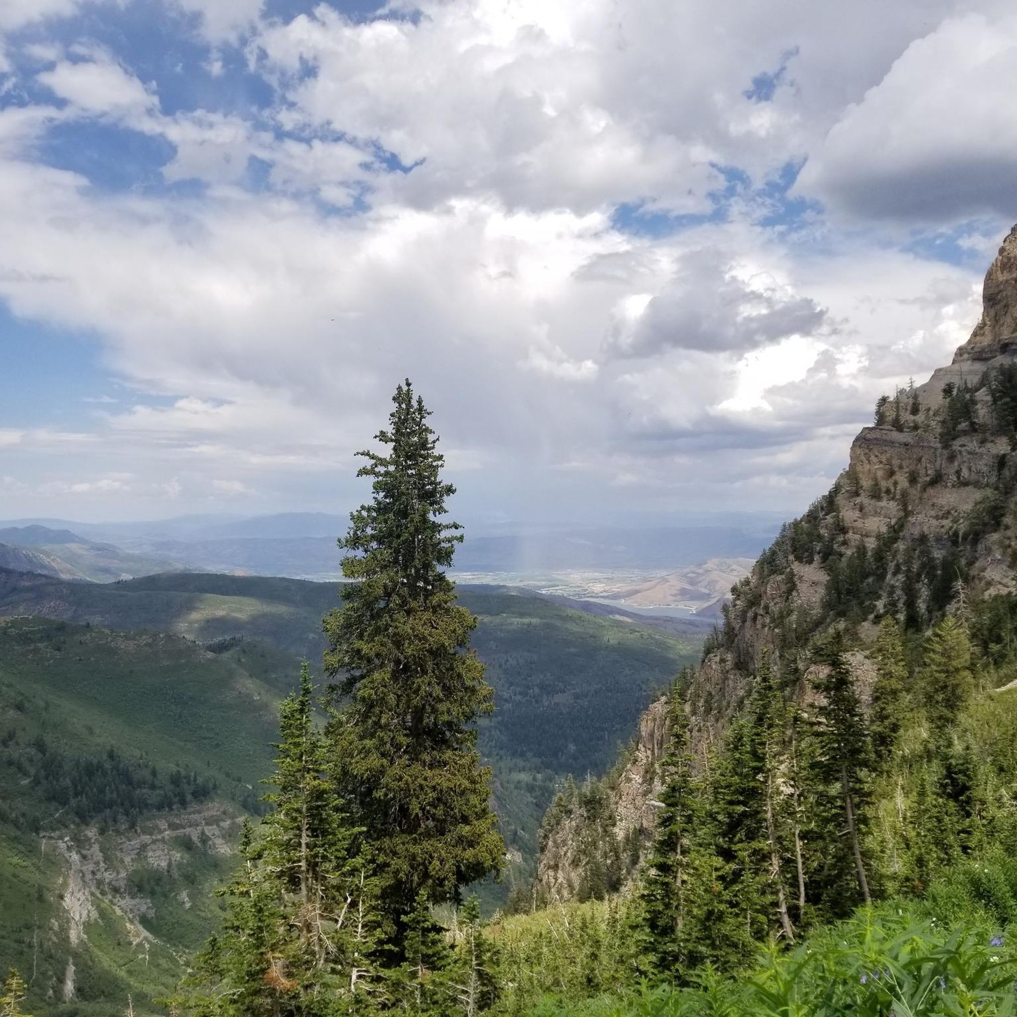
Road cycling routes in Deer Creek State Park are set amidst scenic mountain terrain, characterized by the Wasatch Front and a large reservoir with extensive shoreline. The park's landscape offers varied elevation changes, from gentle slopes to significant climbs, catering to different fitness levels. Road cyclists can expect well-paved surfaces and picturesque views throughout the region. This area is known for its natural features, including the Deer Creek Reservoir and surrounding mountainous vistas.
Best road cycling routes in Deer Creek State Park
- The most popular road cycling route is Cascade Springs – Deer Creek Overlook loop from Charleston, a moderate 19.9 miles (32.1 km) trail that takes 1 hour 50 minutes to complete, offering views of the reservoir and surrounding mountains.
- Another top favourite among local road cyclists is Guardsman Pass – Guardsman Pass loop from Midway, a difficult 22.7 miles (36.5 km) path. This route features significant elevation gain, providing a challenging ride through mountain passes.
- Local road cyclists also love the Soldier Hollow Golf Course loop from Midway, a 17.1 miles (27.5 km) trail leading through the Soldier Hollow area, often completed in about 1 hour 35 minutes.
- Road cycling in Deer Creek State Park is defined by scenic mountain terrain, reservoir views, and varied elevation profiles. The network offers options for different ability levels, from easy loops to challenging climbs.
- The routes in Deer Creek State Park are highly rated by the komoot community with an average score of 5.0 stars from over 2 reviews. More than 200 road cyclists have used komoot to explore Deer Creek State Park's varied terrain.
Last updated: October 1, 2026
15
riders
72.9km
04:05
1,430m
1,430m
Hard road ride. Very good fitness required. Mostly well-paved surfaces and easy to ride.
16
riders
32.8km
02:02
890m
890m
Moderate road ride. Good fitness required. Some segments of this route may be unpaved and difficult to ride.

22
riders
60.0km
03:49
1,740m
1,740m
Hard road ride. Very good fitness required. Mostly well-paved surfaces and easy to ride.
10
riders
26.8km
01:31
220m
220m
Easy road ride. Great for any fitness level. Mostly well-paved surfaces and easy to ride.
19
riders
37.0km
02:33
740m
740m
Moderate road ride. Good fitness required. Mostly well-paved surfaces and easy to ride.
Get access to more routes and recommendations from other explorers.
Already have an account?
Our route recommendations are based on thousands of hikes, rides, and runs completed by other people on komoot.
Start today with a free account
Your next adventure awaits.
Popular around Deer Creek State Park



Tips from the Community

Unfortunately out of order. It leads up to Treasure Mountain.
0
0
Nice small town with many shops, it also looks almost like you know it from the movies.
0
0

Climbing Empire Pass westwards from Midway on the Guardsman Pass Scenic Backway offers a challenging but scenic ascent into Utah's Wasatch Mountains. Prepare for approximately 11-12 miles of sustained climbing, gaining over 3,000ft to reach the 8,740ft summit. The main climb averages around 5-6%, but features steeper sections, particularly on the initial winding climb out of Midway and in the final push towards the pass, where gradients can reach 8-10%. Along the way you'll enjoy the transition from aspen forests to stunning alpine meadows as you approach the top.
0
0

Town Lift is in the downtown area of Park City and takes people up to the juncture of Trestle, Mid-mountain Connect, and Driftwood. The lift is open in the summer months as an alternative to ascend Treasure Hill. The lift usually closes after ski season and reopens from mid-June to early September, from morning until dusk.
0
0
Park City is a popular destination in both the summer and the winter. It is home to the Sundance Film Festival, one of the most fantastic independent film festivals in the United States. This town was also host of the 2002 Winter Olympics and historically was a silver mining town.
0
0

From this point, you can take the trail that, with a short, easy walk, will lead you through this area bathed by an artesian spring that forms terraced cascades and pools. You'll need to hop off the bike to explore it, but there is a parking area next to the trailhead.
1
0
At this viewpoint, on one side of Cascade Springs Drive, you'll enjoy incredible scenic views. The best time to visit it is in the fall, when you can see the different colors of the leaves as they change.
1
0

With over 25 miles of single-track mountain biking, this area has a variety of terrain and stunning views. Also, there's a lift service available for those interested in some downhill fun.
0
0
Frequently Asked Questions
How many road cycling routes are available in Deer Creek State Park?
Deer Creek State Park offers a diverse selection of over 10 road cycling routes, catering to various skill levels. You'll find a mix of easy, moderate, and challenging rides to explore.
What kind of terrain and elevation can I expect when road cycling in Deer Creek State Park?
The park is characterized by scenic mountain terrain along the Wasatch Front, featuring a large reservoir. You can expect varied elevation changes, from gentle slopes suitable for easier rides to significant climbs on more challenging routes. The surfaces are generally well-paved, offering a smooth cycling experience.
Are there any easy or family-friendly road cycling routes in Deer Creek State Park?
Yes, there are several options suitable for beginners and families. An excellent choice is the Soldier Hollow Golf Course loop from Midway, which is an easy 27.5 km ride with minimal elevation gain, typically completed in about 1 hour 35 minutes.
Which routes offer a challenging road cycling experience with significant climbs?
For experienced cyclists seeking a challenge, the park has several difficult routes. The Guardsman Pass – Guardsman Pass loop from Midway is a demanding 36.5 km path with substantial elevation gain through mountain passes. Another very challenging option is the Deer Creek Overlook – Alpine Summit loop from Heber Valley Railroad Depot, which spans over 135 km with significant climbing.
What scenic viewpoints or natural features can I see along the road cycling routes?
Road cycling routes in Deer Creek State Park offer picturesque views of the Deer Creek Reservoir and the surrounding mountainous vistas of the Wasatch Front. You'll also encounter diverse landscapes, including regrowth woodlands and fields that burst with wildflowers in spring and summer.
Can I spot wildlife while road cycling in Deer Creek State Park?
Yes, Deer Creek State Park is a haven for wildlife. Cyclists often have opportunities to spot various bird species, amphibians, reptiles like painted turtles, and mammals such as white-tailed deer, red foxes, raccoons, and woodchucks, especially during quieter times of day.
What is the best time of year to go road cycling in Deer Creek State Park?
The spring and summer months are ideal for road cycling, when the weather is pleasant and the fields are abundant with wildflowers. Autumn also offers beautiful scenery with changing foliage. Always check local weather conditions before heading out, especially for higher elevation routes.
Where can I find parking for road cycling in Deer Creek State Park?
Deer Creek State Park provides various parking facilities for visitors. Specific parking areas are available near popular trailheads and access points to the reservoir. It's advisable to check the park's official website or signage upon arrival for the most convenient parking for your chosen route.
Are there any permits or fees required to cycle in Deer Creek State Park?
Deer Creek State Park is a Utah State Park, and a day-use fee or an annual pass is typically required for entry. For the most current information on fees and any specific permits, it's best to visit the official Utah State Parks website: stateparks.utah.gov.
What do other road cyclists enjoy most about the routes in Deer Creek State Park?
The road cycling routes in Deer Creek State Park are highly rated by the komoot community, with an average score of 5.0 stars. Cyclists frequently praise the stunning mountain and reservoir views, the well-maintained paved surfaces, and the variety of routes that cater to all fitness levels, from scenic loops to challenging climbs.
Are there any moderate-difficulty road cycling routes in the park?
Yes, for those looking for a balanced challenge, routes like the Cascade Springs – Deer Creek Overlook loop from Charleston offer a moderate 32.1 km ride with rewarding views. Another great option is the Cascade Springs – Deer Creek Overlook loop from Interlaken, which is a similar distance and difficulty.
Most popular routes in Deer Creek State Park

Get inspired with the komoot mobile app


Explore more
Browse the best Road cycling routes in other regions.
