The best walks and hikes in Mississippi National River And Recreation Area
4.4
(59)
1,118
hikers
114
hikes
Hiking in Mississippi National River And Recreation Area follows a 72-mile protected river corridor through the Minneapolis-Saint Paul metropolitan area. The terrain is characterized by riverfront paths, steep-walled gorges, and limestone bluffs. The area contains a mix of natural landscapes, including floodplain forests and restored prairies, alongside urban parklands. This diverse environment offers varied hiking experiences for different ability levels.
Best hiking trails in Mississippi National River And Recreation Area
- The most popular hiking route is Pike Island loop —…
Last updated: May 28, 2026
5.0
(1)
10
hikers
4.24km
01:06
30m
30m
Discover the easygoing Schaar's Bluff Trail, a 2.6 miles (4.2 km) hiking route that offers a refreshing escape into nature. You will experience varied terrain, from natural dirt paths winding…
9
hikers
8.09km
02:06
50m
40m
Embark on a moderate hike along the Wing Dam and Lake Rebecca trail, a rewarding route that spans 5.0 miles (8.1 km) with a gentle elevation gain of 170 feet…

Sign up for free
4
hikers
4.13km
01:03
20m
20m
Embark on the Coon Rapids Loop, an easy hike spanning 2.6 miles (4.1 km) with a gentle elevation gain of 54 feet (17 metres). This route offers a refreshing escape…
4
hikers
8.65km
02:16
70m
70m
Embark on the Snelling Lake, Fort Snelling, Picnic Island Loop, a moderate hike that guides you through the unique floodplain forests of Fort Snelling State Park. As you follow the…
3
hikers
10.3km
02:41
80m
70m
Embark on a moderate hike along the Vermillion River, covering 6.4 miles (10.3 km) with 263 feet (80 metres) of elevation gain. This route takes approximately 2 hours and 41…
Get access to more routes and recommendations from other explorers.
Sign up for free
Already have an account?
Our route recommendations are based on thousands of hikes, rides, and runs completed by other people on komoot.
Start today with a free account
Your next adventure awaits.
Login or Signup
Popular around Mississippi National River And Recreation Area

The rhythms of the river – road trip along the Mississippi

Running Trails in Mississippi National River And Recreation Area
Cycling in Mississippi National River And Recreation Area
Road Cycling Routes in Mississippi National River And Recreation Area
MTB Trails in Mississippi National River And Recreation Area

Gravel biking in Mississippi National River And Recreation Area
Other adventures in Mississippi National River And Recreation Area

Tips from the Community

The did some work on the trail, it's smoother now, not SMOOTH but smoother.
2
0
Cool sculpture that you can see while overlooking the river
1
0
Here is some more info on the sculptures https://www.artistdalelewis.com/post/otto-the-river-otter Dale Lewis is the artist, I'll have to read more of his site
1
0
I think these are also from the guy who lives in Vermillion and has other sculptures over by Spring Lake Park.
1
0
Some caved in ceiling of a cave that pops out over the river
1
0
This marks more the turn onto the bridge that brings you to the Mill Ruins, not necessarily the ruins themselves. Unless the person that created this was there at a different time of year where you could see all the way to the ruins.
0
0
Frequently Asked Questions
Are dogs allowed on the hiking trails?
Yes, dogs are generally welcome in the Mississippi National River and Recreation Area, but they must be kept on a leash no longer than six feet. Since the area is a 'partnership park,' specific rules can vary between different parks and trails managed by local agencies. Always check for posted signs at the trailhead for the most current regulations.
Are there any family-friendly hikes in the area?
Absolutely. The area is great for families, with many easy trails. For a walk that combines history and scenery, consider the Mill Ruins Park loop. This paved path is suitable for all ages and offers fascinating views of historic flour mill ruins and St. Anthony Falls.
Which trails have waterfalls?
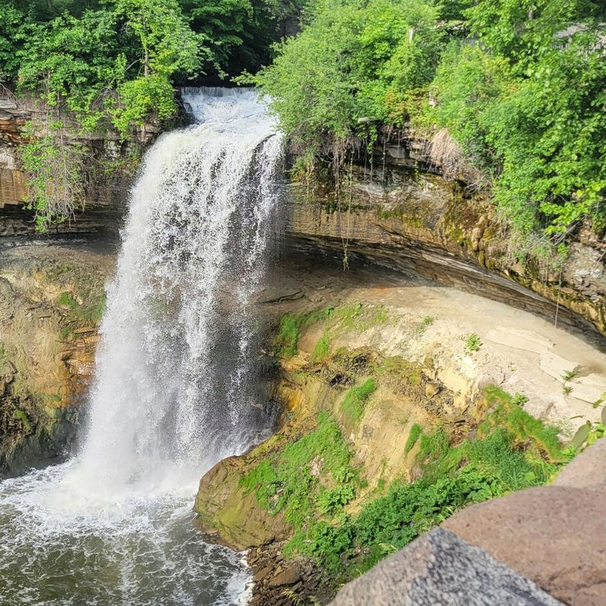
The most famous waterfall in the area is Minnehaha Falls. You can see it on the Minnehaha Falls & Ford Dam loop. This trail takes you past the stunning 53-foot waterfall and along Minnehaha Creek to where it meets the Mississippi River.
What is the best time of year to hike here?
Each season offers a unique experience. Summer is popular for lush greenery, while autumn provides spectacular fall colors along the river bluffs. Spring brings wildflowers and migrating birds. Winter hiking is also possible, especially on paved trails, offering a quiet, snowy landscape, but be sure to check trail conditions and dress for the cold.
Are there any paved trails for walking or hiking?
Yes, many trails within the recreation area are paved, making them accessible for walkers, strollers, and wheelchairs. Trails around areas like Mill Ruins Park and the Stone Arch Bridge are paved and offer excellent urban hiking experiences with historical context.
How many hiking trails are in the Mississippi National River and Recreation Area?
There are over 80 designated hiking routes throughout the 72-mile corridor. The vast majority of these are easy, well-maintained paths suitable for most fitness levels, with a smaller selection of moderate trails for those seeking more of a challenge.
What do other hikers think of the trails in this area?
The trails are highly regarded by the komoot community, with an average rating of 4.4 out of 5 stars. Hikers often praise the unique mix of natural scenery and urban accessibility, as well as the well-marked paths that follow the scenic river bluffs and gorges.
Are there good trails for birdwatching?
Yes, the river corridor is a major migration route, making it a prime location for birdwatching. The floodplain forests and islands in the southern part of the park are particularly rich with wildlife. You might spot bald eagles, great blue herons, and various songbirds. Trails within Fort Snelling State Park are especially recommended for spotting diverse bird species.
How can I get to the trailheads using public transport?
Many of the most popular trailheads, especially those within Minneapolis and St. Paul, are accessible via the Metro Transit system. Parks like Minnehaha Regional Park and those near the downtown riverfront are well-serviced by bus routes. It's best to use a trip planner to find the most direct route to a specific park or trailhead.
What are some interesting historical sites I can see while hiking?
The area is rich in history. You can hike to the confluence of the Mississippi and Minnesota Rivers within Fort Snelling State Park, a site of great cultural significance. Near downtown Minneapolis, trails pass by the Mill Ruins Park and the Stone Arch Bridge, showcasing the city's past as a flour milling powerhouse.
Are there any quiet, rustic trails for a more natural experience?
For a more rugged hike, the Winchell Trail within the Mississippi Gorge offers a 5-mile rustic dirt path. It can be muddy and slippery, but it provides a more immersive experience in the river's natural environment, away from the more developed park areas.
Most popular routes in Mississippi National River And Recreation Area
Most popular attractions in Mississippi National River And Recreation Area

Get inspired with the komoot mobile app


Explore more
Browse the best Hikes in other regions.
