The best running trails in Lewis And Clark National Wildlife Refuge
5.0
(1)
125
runners
11
runs
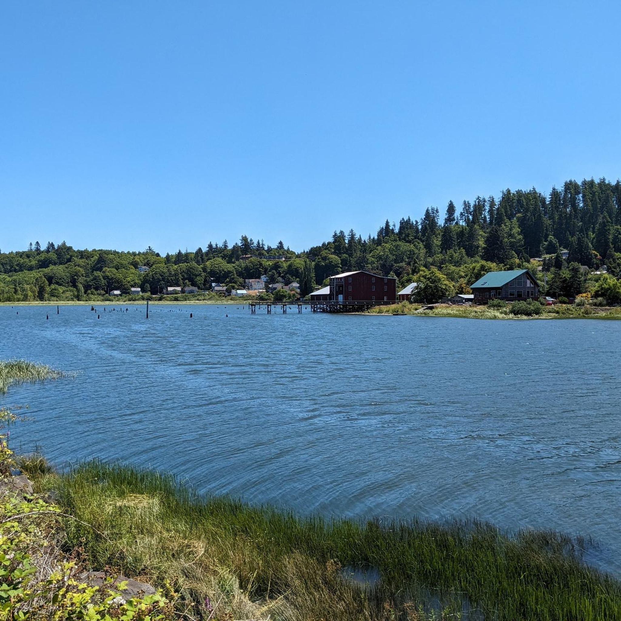
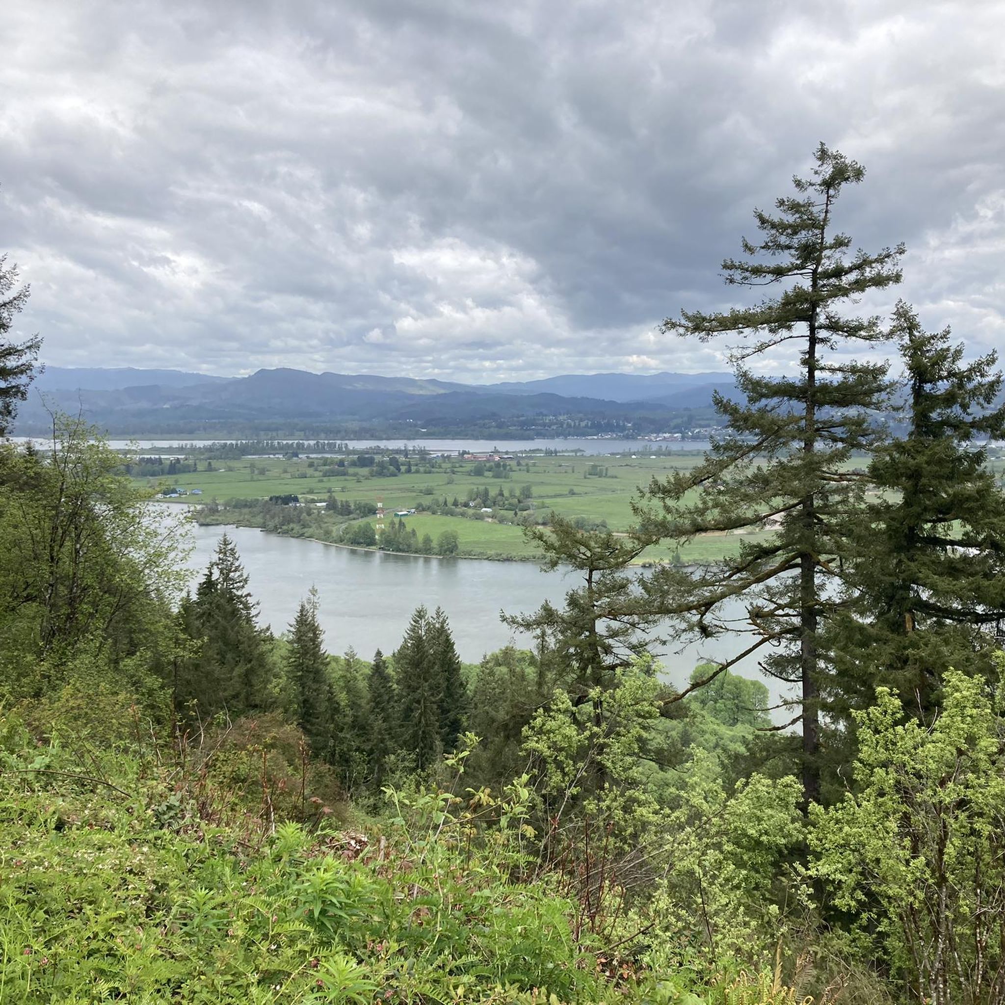
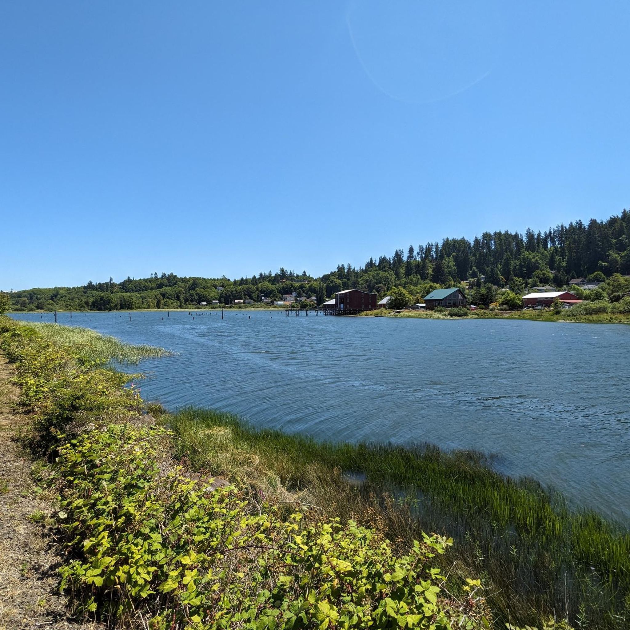
Jogging in Lewis And Clark National Wildlife Refuge offers routes along riverfronts and through coastal areas. The landscape features flat paths near water bodies, with some trails venturing into slightly elevated, possibly forested sections. The region is characterized by its proximity to the Columbia River and maritime influences, providing diverse running environments.
Best jogging routes in Lewis And Clark National Wildlife Refuge
- The most popular jogging route is Astoria Riverwalk, a 7.9 miles (12.8 km) trail that takes 1…
Last updated: October 12, 2026
12
runners
12.8km
01:19
30m
30m
Start your jogging adventure on the Astoria Riverwalk, a moderate route that stretches 7.9 miles (12.8 km) along the Columbia River. You will experience a mostly flat and accessible path,…
12
runners
Moderate run. Good fitness required. Mostly paved surfaces. Suitable for all skill levels.

1
runners
4.19km
00:31
170m
170m
The Cathedral Tree Trail offers a moderate jogging experience through a lush urban forest. You will cover 2.6 miles (4.2 km) and gain 560 feet (171 metres) in elevation, typically…
13
runners
Moderate run. Good fitness required. Mostly paved surfaces. Suitable for all skill levels.
2
runners
4.92km
00:30
10m
10m
Enjoy an easy jogging experience along the Astoria Riverwalk Trail, a flat and scenic path stretching 3.1 miles (4.9 km). You'll gain a gentle 42 feet (13 metres) in elevation,…
Get access to more routes and recommendations from other explorers.
Already have an account?
Our route recommendations are based on thousands of hikes, rides, and runs completed by other people on komoot.
Start today with a free account
Your next adventure awaits.
Popular around Lewis And Clark National Wildlife Refuge
Tips from the Community


The Columbia River Maritime Museum is worth visiting if you're interested in maritime history and seafaring. The museum boasts impressive exhibits, from historic vessels and naval artifacts to fine art pieces. The museum has a $16 admission fee, or you can visit the Lightship Columbia only for $5.
0
0

The Astoria Column is a tower in the northwestern United States that overlooks the mouth of the Columbia River on Coxcomb Hill in Astoria, Oregon. The concrete and steel structure, built in 1926, is part of a 30-hectare city park.
0
0
The Astoria Riverwalk trail, which runs along the city's waterfront and a section of the Astoria & Columbia River Railroad, is a scenic 12.8-mile path that offers an excellent opportunity to soak in the beauty of Youngs Bay and the Astoria-Megler Bridge. The trail also features several shops, restaurants, and historical landmarks, such as the Maritime Memorial and the Columbia River Maritime Museum.
1
0
The Astoria Bridge is the last bridge before the mouth of the Columbia River into the Pacific, about 20 km away. She was the missing link to the U.S. To make Route 101 continuously passable along the West Coast of the USA between Olympia in the north and Los Angeles in the south. The southern end of the bridge is in Astoria (Oregon), the other end is at Point Ellice, a mountain promontory near the settlement of Megler, where the jetty for the ferry to Astoria used to be. The river is around 6 km wide at this point, but mostly flat. The 12.19 m (40 ft) deep and narrow channel for ocean-going ships traveling to Portland runs directly in front of the town of Astoria; beyond it lie the Desdemona Sands, a sandbank that extends beyond the middle of the river and partially runs dry at low tide. Off the northern bank there are variable channels with slightly deeper water that can be navigated by smaller ships.
0
0

The Astoria Riverwalk trail meanders along the city's waterfront, paralleling a stretch of the Astoria & Columbia River Railroad. Spanning 12.8 miles, this picturesque route provides a wonderful chance for jogging amidst the captivating scenery of Youngs Bay and the Astoria-Megler Bridge. Additionally, the trail boasts various shops, dining establishments, and significant historical sites, including the Maritime Memorial and the Columbia River Maritime Museum. This particular segment enables the historical tramway and pedestrians to cross the water easily.
0
0
Astoria is known for having several piers along its waterfront, contributing to its picturesque coastal charm. These piers are the more rough/wild ones with a stronger naval feel. They are also the most western piers, hence you also get a great view of Holbrooks Slough.
0
0
The Astoria Column is a fantastic monument built in 1926 under the supervision of Ralph Budd, the president of the Great Northern Railroad. It depicts the Euro-American history of the Columbia River mouth and offers a panoramic view from the viewing platform, reached by climbing the 164 steps in a narrow, spiral staircase. The monument is modeled after Trajan's Column in Rome and is a must-see for anyone visiting Astoria.
0
0
Frequently Asked Questions
What types of running routes can I expect in Lewis And Clark National Wildlife Refuge?
The region offers a variety of running environments, primarily featuring routes along riverfronts and through coastal areas. You'll find flat paths near water bodies, with some trails venturing into slightly elevated, forested sections, especially around the Columbia River.
Are there any easy jogging trails suitable for beginners in Lewis And Clark National Wildlife Refuge?
Yes, there are a couple of easy routes perfect for beginners or those looking for a relaxed run. These trails typically feature minimal elevation gain and well-maintained surfaces.
How long are the running routes in Lewis And Clark National Wildlife Refuge?
Running routes in the refuge vary in length. For example, the Astoria Riverwalk is about 12.8 km (7.9 miles), while the Cathedral Tree Trail is a shorter 4.2 km (2.6 miles). You can find options ranging from shorter loops to longer riverfront runs.
Are there any loop jogging trails in the area?
Yes, several routes offer a loop experience. For instance, the Columbia River Maritime Museum – Clatsop County Heritage Museum loop from Navy Heights is a moderate 5.1 km loop that takes you through urban and historical points of interest.
Can I bring my dog on the running trails in Lewis And Clark National Wildlife Refuge?
Many trails within the Lewis And Clark National Wildlife Refuge are dog-friendly, but it's always best to check specific trail regulations before you go. Generally, dogs should be kept on a leash to protect wildlife and ensure a pleasant experience for all users.
Are there any family-friendly running options?
Absolutely. Many of the flatter, riverfront paths are suitable for families, offering scenic views and easy terrain. The shorter, less challenging routes are often ideal for a family outing.
What kind of wildlife might I spot while jogging in the refuge?
As a National Wildlife Refuge, the area is rich in biodiversity. Runners often spot various bird species, including waterfowl and raptors, especially along the Columbia River. Keep an eye out for marine mammals in the river and estuary areas.
What is the best time of year to go jogging in Lewis And Clark National Wildlife Refuge?
Spring and fall generally offer the most pleasant running conditions with mild temperatures and beautiful scenery. Summer can be warm, especially in open areas, while winter might bring rain, but trails remain accessible year-round for those prepared for the weather.
Are there any challenging running routes for experienced runners?
While most routes are moderate, the Cathedral Tree Trail offers some elevation gain through forested terrain, providing a more challenging workout compared to the flatter riverfront paths. It's a good option for those looking to push themselves a bit more.
Where can I find parking for the running trails?
Parking availability varies by trailhead. Many popular access points, especially in and around Astoria, offer designated parking areas. It's advisable to check the specific route details on komoot for information on parking at the starting point of your chosen run.
What do other runners enjoy most about jogging in Lewis And Clark National Wildlife Refuge?
The komoot community frequently praises the scenic riverfront views, the diverse landscapes ranging from coastal to forested, and the well-maintained paths. Runners appreciate the variety of routes suitable for different fitness levels and the opportunity to experience the natural beauty of the Columbia River estuary.
Are there any cafes or facilities near the running routes?
Given the refuge's proximity to towns like Astoria, you'll find various cafes, restaurants, and public facilities nearby, especially along routes like the Astoria Riverwalk. These urban-adjacent routes offer convenient access to amenities before or after your run.
Most popular routes in Lewis And Clark National Wildlife Refuge

Get inspired with the komoot mobile app


Explore more
Browse the best Running Trails & Routes in other regions.
