The 12 Most Amazing Peaks around Hessisch Oldendorf
Best mountain peaks around Hessisch Oldendorf are found within the Weserbergland region of Lower Saxony, Germany. This area features rolling hills and notable elevations that provide views and geological features. The landscape is characterized by ranges such as Süntel, Ith, and Külf, offering diverse natural environments. These elevated areas contribute to the region's scenic beauty and recreational opportunities.
Best mountain peaks around Hessisch Oldendorf
- The most popular mountain peaks is Hohe Asch Lookout Tower, a viewpoint that offers an all-round view of the surrounding landscape. This location provides views across the Wiehen and Eggegebirge, the Lippischer Bergland, and to Winterberg, Schwalenberg, and Köterberg.
- Another must-see spot is Ida Tower in the Harrl, a man_made_monument. This 28-meter high observation tower on the Harrl mountain range offers views far into the country, including the Mindener Land and the Weser Mountains.
- Visitors also love Königshütte and View of Porta Westfalica, a hut with a historical site. This location features a small stone hut and offers a view from Papenbrink.
- Hessisch Oldendorf is known for its diverse elevated areas, including limestone cliffs, forested ridges, and observation towers. Visitors can explore a variety of mountain peaks and viewpoints across the region.
- The mountain peaks around Hessisch Oldendorf are appreciated by the komoot community, with more than 760 upvotes and over 530 photos shared by visitors.
Last updated: May 11, 2026
Ida Tower in the Harrl
Highlight • Monument
Translated by Google •
Tip by

Hohe Asch Lookout Tower
Highlight • Viewpoint
This is also where the "Path of Views" runs around the Extertal in the Lippe Mountains, as well as the European long-distance hiking trail E 1 and the Hansaweg X9.
Translated by Google •
Tip by

Sign up now to discover places like this
Get recommendations on the best single tracks, peaks, & plenty of other exciting outdoor places.
Sign up for free
Highest Point of Schaumburg District (Goldbeck)
Highlight • Summit
Translated by Google •
Tip by

Shelter at the Former Ludwigsturm
Highlight • Rest Area
In August 2017, it became known that serious damage had been found during a routine inspection of the Ludwig Tower. The popular observation tower was then fenced off and closed to visitors. Entering was immediately prohibited under penalty, there was a risk of death. In 1975, the wooden tower was erected in a forest clearing on the Taubenberg.
The building got its name from its predecessor, which according to a flyer for the historic town walk stood in the same place from 1901 to 1919 and was dedicated to the Rinteln high school teacher Ludwig Schwarz. Now the tower is history. At 12 noon sharp on Saturday, October 13, 2018, the first of more than 40 explosive charges detonated and dismantled the wooden framework.
Source: rinteln-aktuell.de/ludwigsturm-geexprengt
Translated by Google •
Tip by

Königshütte and View of Porta Westfalica
Highlight • Mountain Hut
Translated by Google •
Tip by

Sign up for free to discover even more peaks around Hessisch Oldendorf.
Sign up for free
Already have an account?
Start today with a free account
Your next adventure awaits.
Login or Signup
Popular around Hessisch Oldendorf
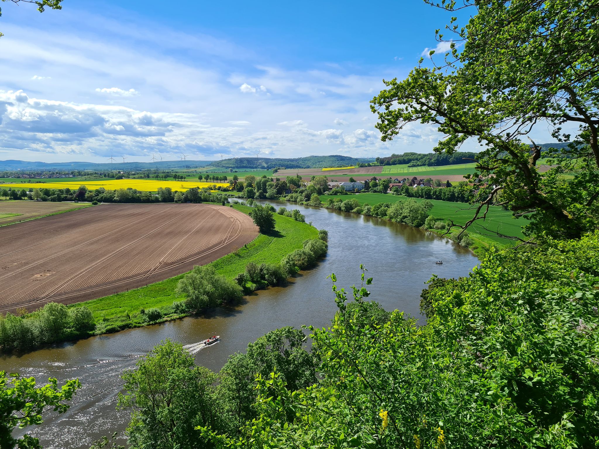
Loccum-Volkenroda pilgrim's way – From monastery to monastery

The National Natural Landscapes in Niedersachsen
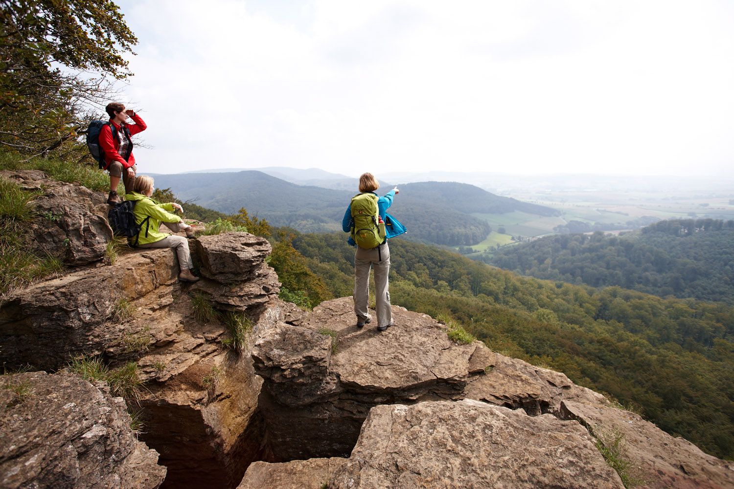
Weser Uplands Extreme – hiking for true adventurers
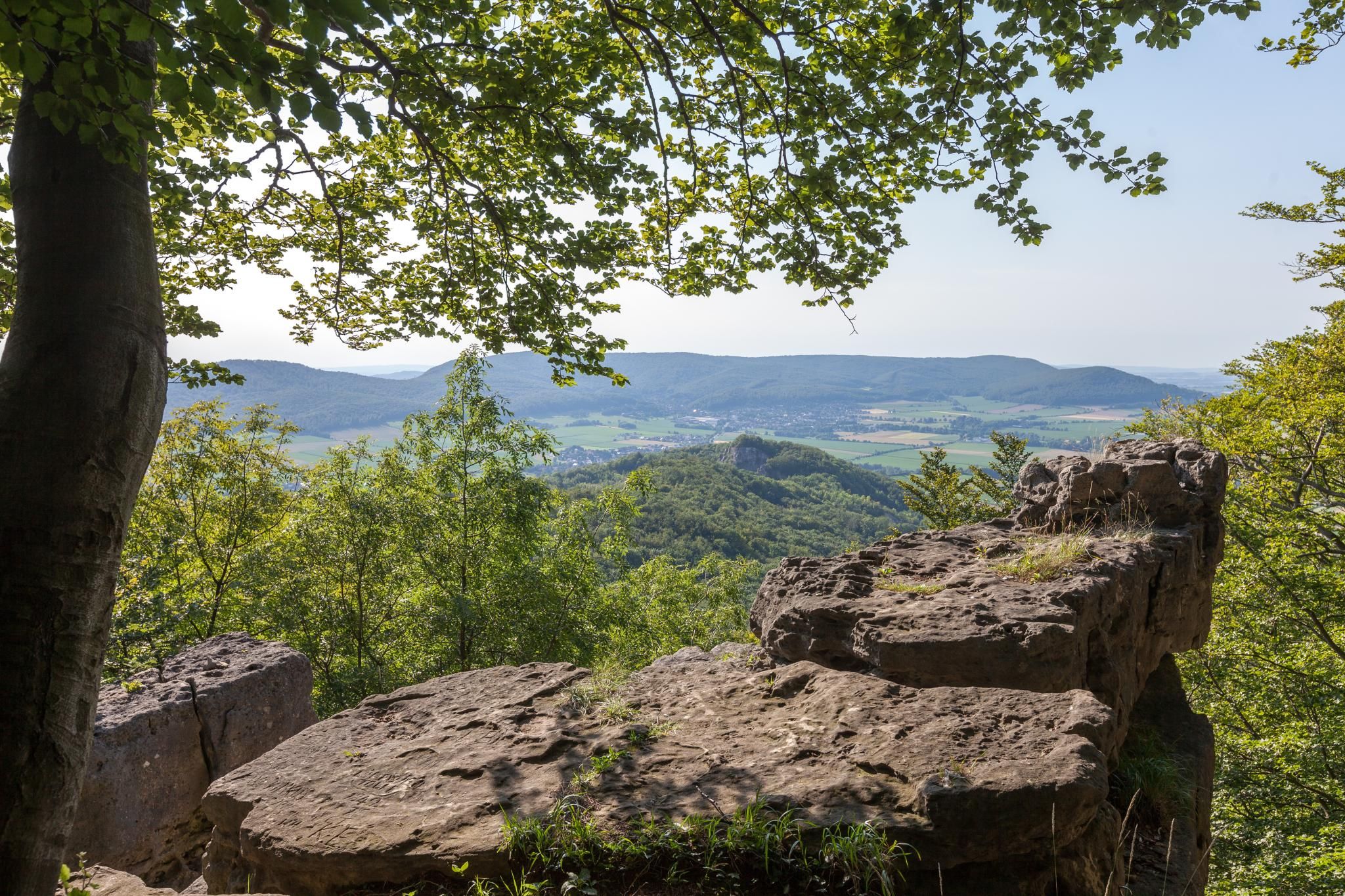
High up on cliffs and viewpoints in the Weserbergland region

Fabulously scenic – hiking Germany’s Weserbergland Trail
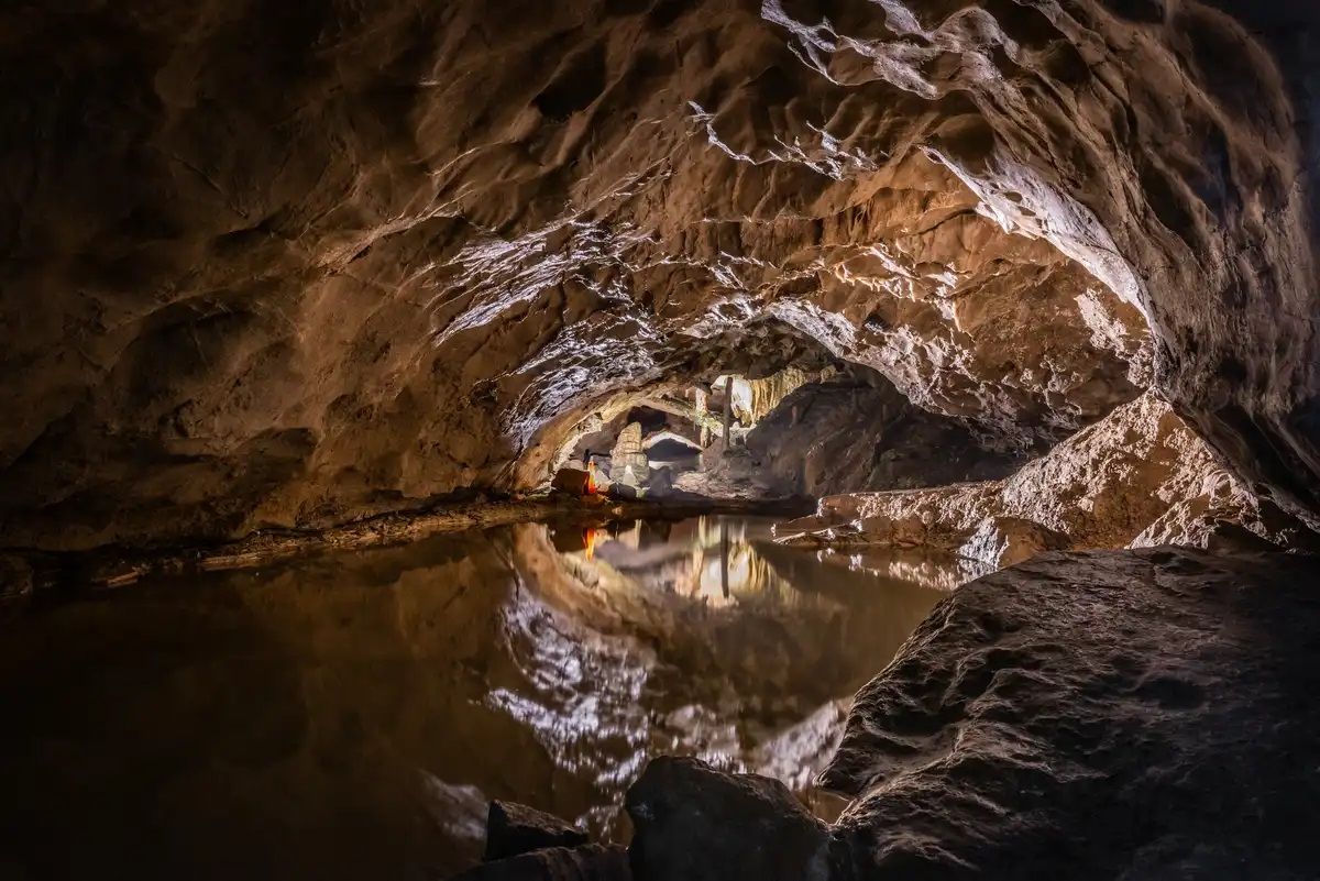
Stalactite caves – magical worlds beneath the surface
Hiking around Hessisch Oldendorf
Cycling around Hessisch Oldendorf
Road Cycling Routes around Hessisch Oldendorf
MTB Trails around Hessisch Oldendorf
Other adventures around Hessisch Oldendorf


Tips from the Community

The climb up the tower is rewarded with a great view.
3
0
Great view of the wide country from the tower.
4
0

Beautiful views in all directions.
1
0

Great stone shelter and great view of the Weser Valley
1
0

50 m north of this point, in the middle of the field, is the highest point in the district of Schaumburg at 378.3 meters above sea level. NN. The street is a compact access road to the Rintelner water supply system of the public utility company.
1
0

A geocache is nearby
3
0

The site is 10 kilometers south-east of the main town of Rinteln and 14 kilometers west of Hamelin, south-west of the Weser between 320 meters and 378 meters. On the high plateau, the district of Klein Goldbeck, which is one kilometer north of Goldbeck, is one of the highest places in the Weserbergland at an altitude of 378 meters and the highest point in the district of Schaumburg.
3
0

Great view. Bench is also available!
1
0
Frequently Asked Questions
What are some of the most notable mountain peaks and elevated areas around Hessisch Oldendorf?
The region around Hessisch Oldendorf features several impressive uplands. Key areas include the Hohenstein Cliffs within the Süntel Mountains, known for their panoramic views and historical significance. Other notable ranges are the Süntel, Ith, and Külf. Additionally, the Hohe Asch Lookout Tower and the Ida Tower in the Harrl offer excellent viewpoints.
Where can I find impressive natural features and geological formations?
The Süntel Mountains are rich in natural wonders. Here you can explore the Riesenberghöhle, Lower Saxony's largest stalactite cave, and the publicly accessible Schillat Cave. The area also boasts Lower Saxony's highest natural waterfall at Höllenmühle near Langenfeld. The Hohenstein Cliffs themselves are a geological marvel, featuring Jurassic limestones and deep crevice systems.
Are there any historical or cultural sites to explore on these peaks?
Yes, the Hohenstein Cliffs were an ancient Germanic place of worship and the site of historical battles. Formations like the 'Green Altar' and 'Devil's Pulpit' are believed to have served as sacrificial altars. The Süntel Mountains also contain historical sites like the Dachtelfeld, where Saxon rebels fought Charlemagne's forces. The Ida Tower in the Harrl is a historical observation tower built in 1847, and Königshütte and View of Porta Westfalica features a small stone hut with historical inscriptions.
What kind of hiking opportunities do the mountain ranges offer?
The Süntel Mountains are ideal for hiking and mountain biking, with numerous well-marked trails for various fitness levels. The Ith Mountains offer a more challenging experience with steep cliffs and rugged terrain, including the popular Ith-Hils-Weg. For a more relaxed walk, the Külf ridge provides hiking opportunities with views from the Cölle Tower.
Are there family-friendly mountain peaks or viewpoints in the area?
Yes, several spots are suitable for families. The Hohe Asch Lookout Tower is considered family-friendly and offers beautiful all-round views. The Highest Point of Schaumburg District (Goldbeck) is also listed as family-friendly, providing a lookout and rest stop.
What outdoor activities can I do near these mountain peaks besides hiking?
Beyond hiking, you can enjoy gravel biking and cycling. For gravel biking, consider routes like the 'View from Hohenstein – Süntel Tower loop' or 'Rinteln’s Historic Old Town – Auenlandschaft Hohenrode loop'. Cycling options include the 'Weser Cycle Path near Rinteln – Rinteln’s Historic Old Town loop'. You can find more details on these activities in the Gravel biking around Hessisch Oldendorf and Cycling around Hessisch Oldendorf guides.
Are there running trails available near the mountain peaks?
Yes, there are several running trails. Popular options include the 'Weser Island loop from Hessisch Oldendorf' and the 'Devil's Pulpit (Hohenstein) loop from Schillat-Höhle'. You can explore more running routes in the Running Trails around Hessisch Oldendorf guide.
What makes the Hohenstein Cliffs a unique destination?
The Hohenstein Cliffs are unique for their dramatic 50-meter drop, offering panoramic views over the Weser valley. They are also a significant botanical site in Northern Germany, home to rare plants like the spectacled peony. Geologically, they feature Jurassic limestones, and historically, they were an ancient Germanic place of worship and a battleground.
Where can I find the highest point in the Schaumburg district?
The highest point in the Schaumburg district is near Goldbeck, at an altitude of 378 meters. This area, known as the Highest Point of Schaumburg District (Goldbeck), offers a lookout and rest stop, providing views over the Weserbergland.
Are there any places to rest or get refreshments near the peaks?
Yes, the Ida Tower in the Harrl has an integrated café and an excursion restaurant at its foot. The Hohe Asch Lookout Tower has a nice resting place with a hut nearby, though it's without management. The Königshütte and View of Porta Westfalica also features a small stone hut/shelter with seating.
What is the Möncheberg and what can I expect there?
The Möncheberg is located within the Wesergebirge ridge nature reserve. It offers a tranquil retreat with a shelter for hikers, surrounded by ancient beech trees and diverse flora. It's a place to experience the peace of nature and enjoy the forest environment.
What do visitors particularly enjoy about the mountain peaks around Hessisch Oldendorf?
Visitors frequently praise the stunning panoramic views, such as those from the Hohe Asch Lookout Tower and the Ida Tower. The unique natural features like the Hohenstein Cliffs and the diverse hiking opportunities across the Süntel and Ith mountains are also highly appreciated. Many enjoy the blend of natural beauty with historical significance found throughout the region.
Most popular routes around Hessisch Oldendorf
Most popular attractions around Hessisch Oldendorf

Get inspired with the komoot mobile app


Explore more
See even more amazing summits around Hessisch Oldendorf with these guides:
