The best walks and hikes around Ilshofen
4.5
(6143)
25,455
hikers
136
hikes
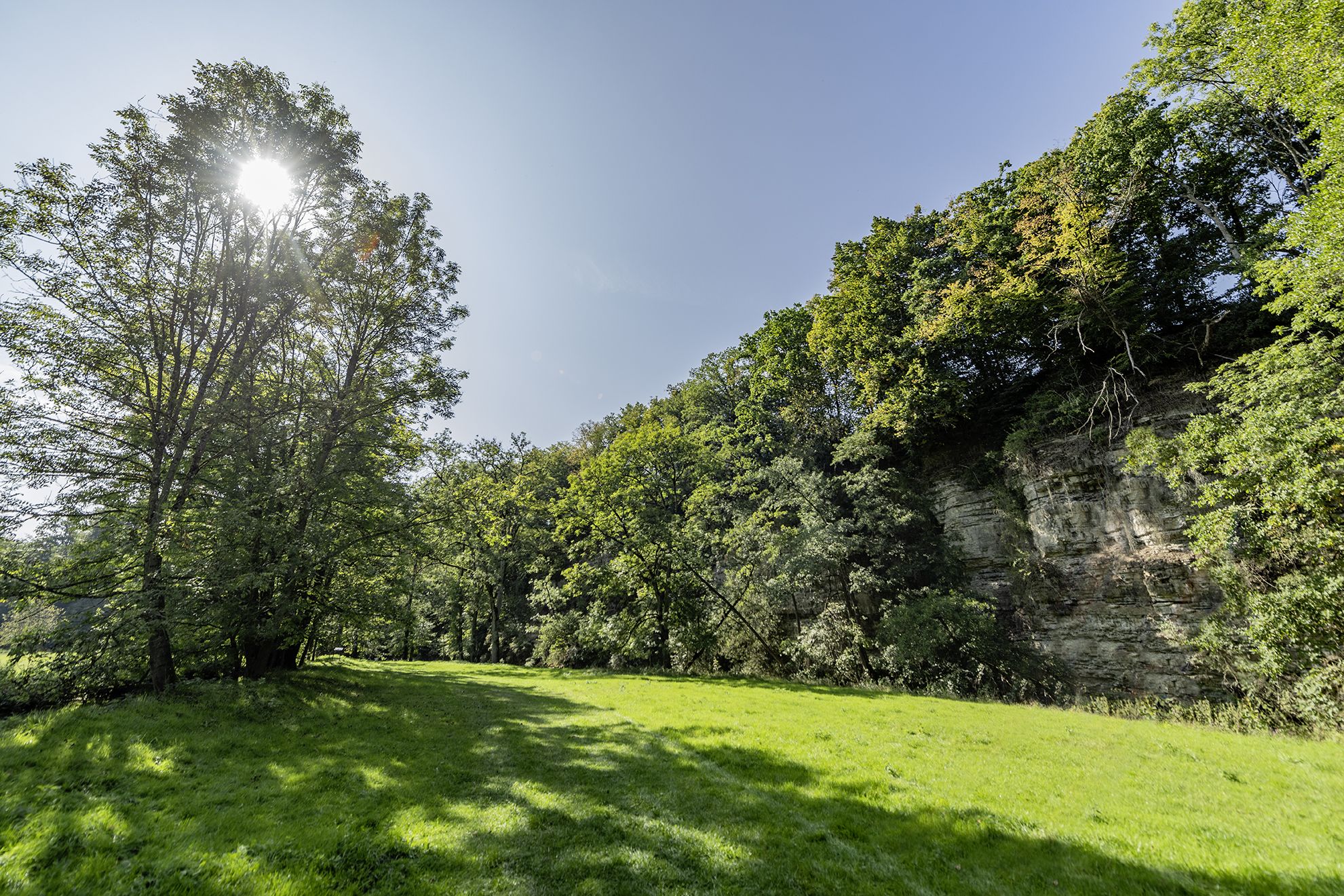
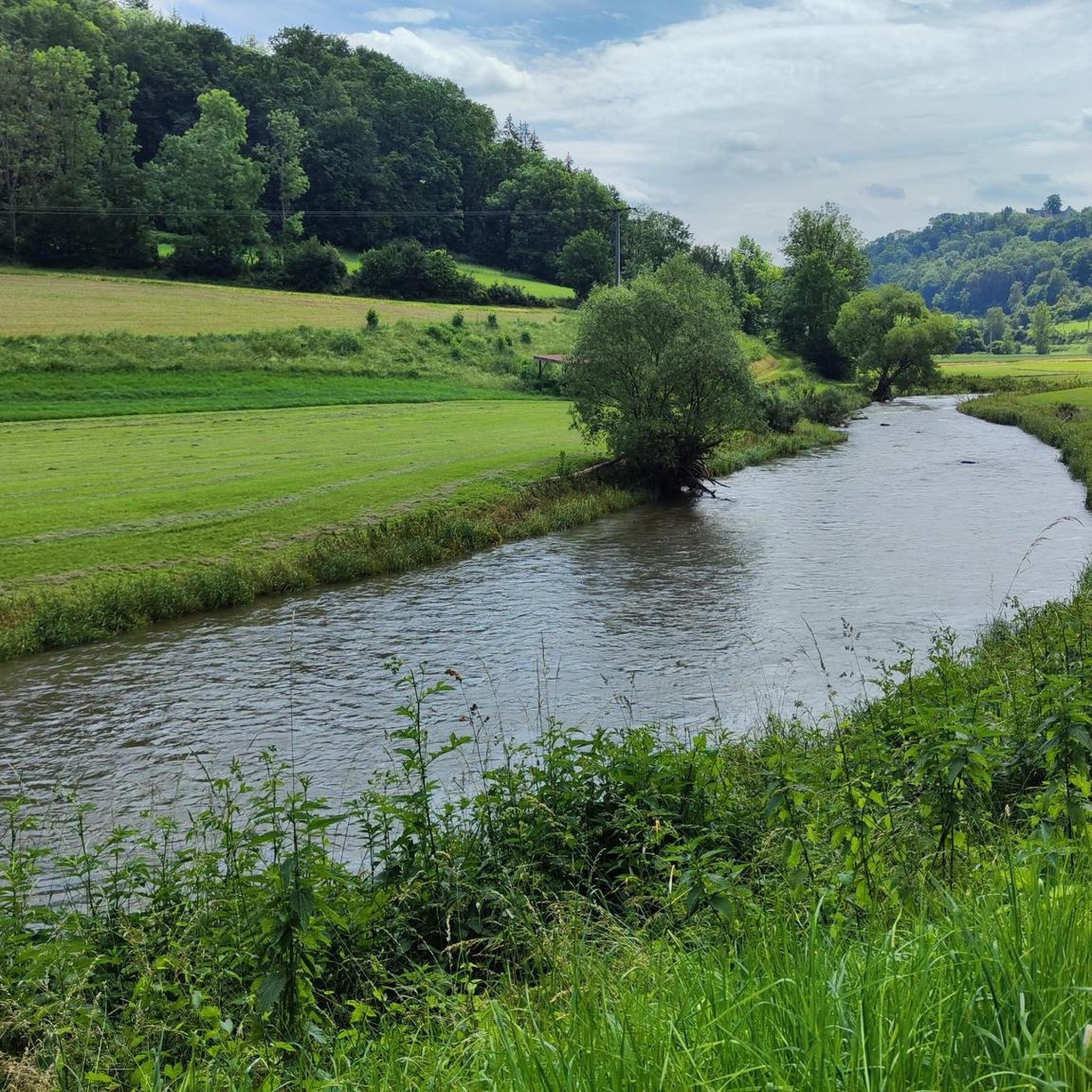
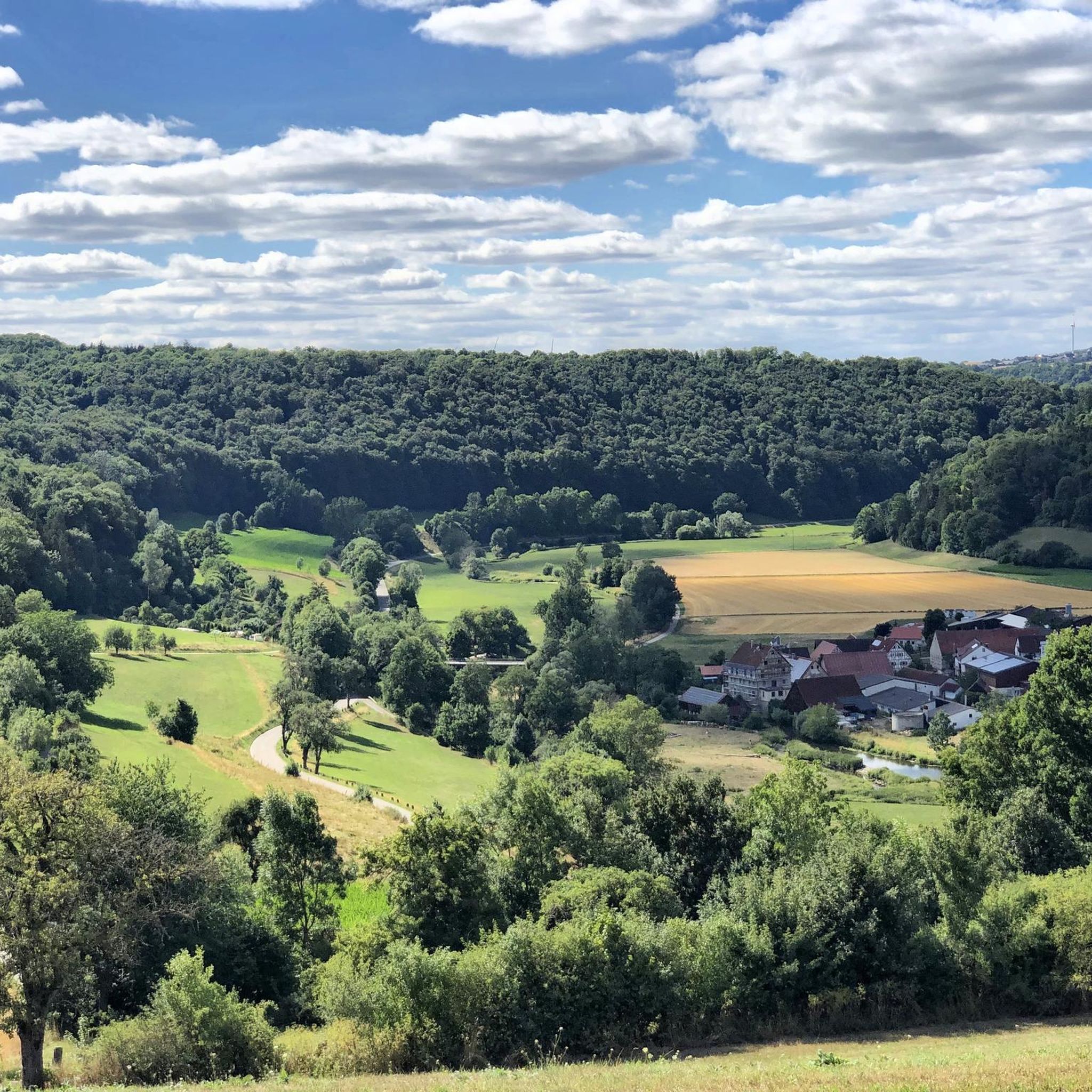
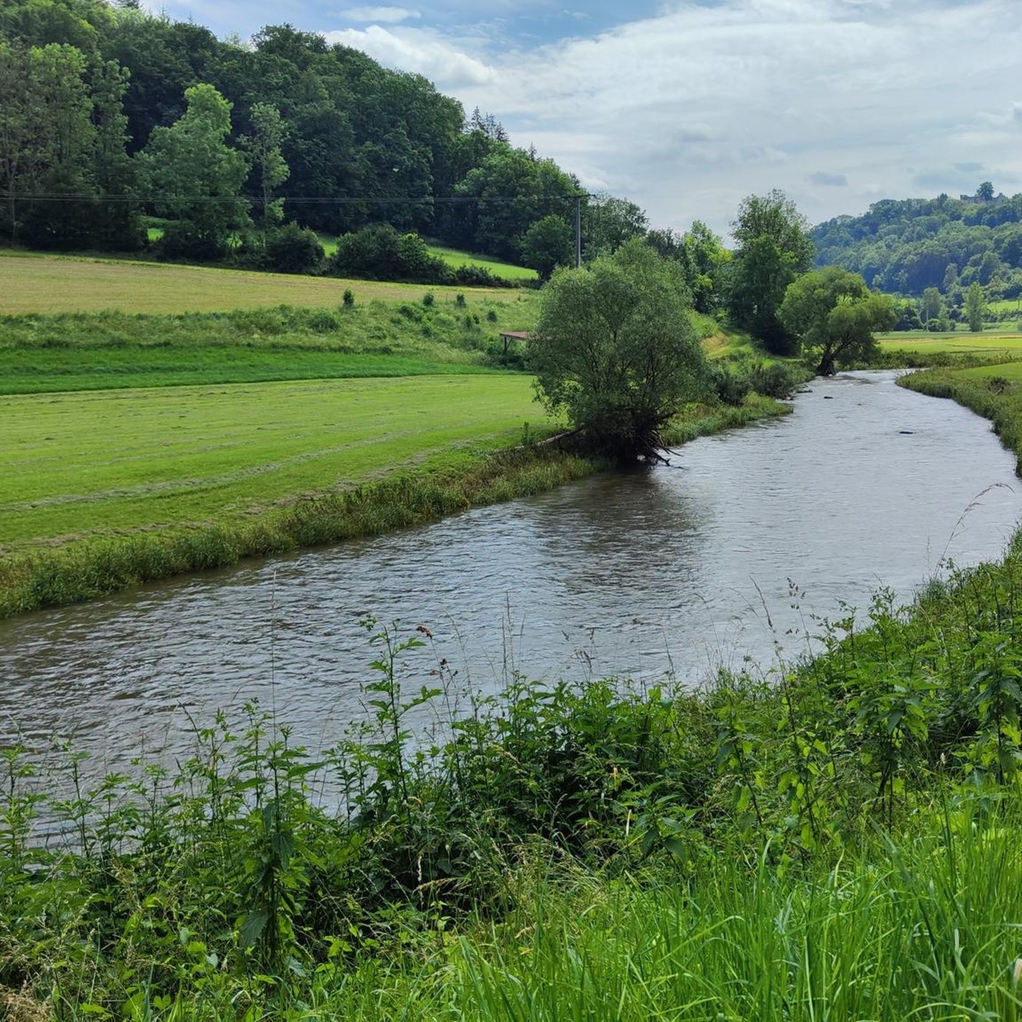
Hiking around Ilshofen offers diverse landscapes within the Swabian-Franconian Forest and Hohenlohe region. The area is characterized by rolling hills, deep valleys, and panoramic heights, with the Kocher and Schmerach rivers flowing through it. Hikers can explore paths leading to forest lakes and enjoy expansive views of the surrounding countryside. This varied terrain provides a range of experiences for outdoor enthusiasts.
Best hiking trails around Ilshofen
- The most popular hiking route is Schmerach River – Barbecue Area by the Schmerach…
Last updated: July 9, 2026
4.7
(44)
147
hikers
Easy hike. Great for any fitness level. Easily-accessible paths. Suitable for all skill levels.
4.8
(21)
68
hikers
13.0km
03:50
350m
350m
Moderate hike. Good fitness required. Easily-accessible paths. Suitable for all skill levels.

Sign up for free
4.8
(85)
290
hikers
Hard hike. Good fitness required. Sure-footedness, sturdy shoes and alpine experience required.
4.9
(17)
59
hikers
Moderate hike. Good fitness required. Easily-accessible paths. Suitable for all skill levels.
4.0
(7)
27
hikers
20.3km
05:37
340m
340m
Hard hike. Very good fitness required. Easily-accessible paths. Suitable for all skill levels.
Get access to more routes and recommendations from other explorers.
Sign up for free
Already have an account?
Our route recommendations are based on thousands of hikes, rides, and runs completed by other people on komoot.
Start today with a free account
Your next adventure awaits.
Login or Signup

Other adventures around Ilshofen

Tips from the Community

Be sure to look for snowdrops.
0
0

beautiful and stately tree
3
1

Wonderful moss along the way - you can always find something interesting especially the Märzenbecher at the Bänkle, where the sun shines beautifully into the forest
0
0

Great place, great atmosphere
0
1

It's a little tricky at this point, but thanks to the steel ladder, the height difference is easy to manage.
3
0
There is a small waterfall here that splashes even in summer 👍🏽
3
0

It's worth a visit. A historic town center with a walkway that can be walked on. The parking is free. The walk to St. Martin's Church offers different and beautiful perspectives.
3
0

This bus shelter is so creative and lovingly prepared! Everything you could possibly need is available. From tools for the bike, a first aid box and reading material to all kinds of chilled drinks. A great and creative idea along the way.
2
0
Frequently Asked Questions
How many hiking trails are available around Ilshofen?
There are over 120 hiking trails around Ilshofen, catering to various fitness levels. You can find a wide selection of routes, from easy strolls to more demanding excursions, exploring the diverse landscapes of the Swabian-Franconian Forest and Hohenlohe region.
What kind of terrain can I expect when hiking near Ilshofen?
The terrain around Ilshofen is quite varied, featuring rolling hills, deep river valleys carved by the Kocher and Schmerach rivers, and panoramic heights. You'll encounter paths leading through idyllic forest lakes and enjoy expansive views of the surrounding countryside, including the Kocher and Jagst rivers.
Are there easy hiking trails suitable for beginners in Ilshofen?
Yes, Ilshofen offers a good selection of easy hiking trails. There are over 50 routes classified as easy, perfect for beginners or those looking for a relaxed walk. An example is the Schmerach River – Barbecue Area by the Schmerach loop from Unteres Bühlertal, which is an easy 3.8-mile (6.2 km) trail.
Are there challenging hikes for experienced hikers around Ilshofen?
Absolutely. For experienced hikers seeking a challenge, there are 9 difficult routes available. One such demanding path is the Vellberg Town Gate Tower – Abandoned Hamlet of Rappolden loop from Unteres Bühlertal, a 9.9-mile (16.0 km) trail that leads through deep valleys and offers panoramic viewpoints, including historical sites.
Can I find circular hiking routes in the Ilshofen area?
Yes, many of the hiking routes around Ilshofen are circular, allowing you to start and end at the same point. This includes popular options like the Barbecue Area by the Schmerach – Schmerach River loop from GVV Ilshofen-Vellberg, which is a 10.2-mile (16.4 km) loop through river valleys and forested areas.
What natural features can I discover on hikes around Ilshofen?
Hikers can discover a variety of natural features, including the picturesque Kocher and Schmerach rivers, rolling hills, and serene forest lakes. The region is also known for its panoramic views of the river valleys. You might also encounter highlights like the "Gründische" fountain or the tranquil Bombensee.
Are there any historical landmarks or viewpoints to see while hiking?
Yes, Ilshofen's hiking trails often lead past historical landmarks and offer stunning viewpoints. You can explore historic castle ruins like Burgruine Klingenfels and Burg Leofels, or visit the observation tower on the Schlossberg for breathtaking panoramic views. The Ruins of St. Bartholomäus Church, Anhausen are also a notable historical site.
Are there any waterfalls to see on trails near Ilshofen?
Yes, you can find trails that feature waterfalls. For example, the Anhausen Castle Site – ⭐️🐷 Small waterfall loop from Unteres Bühlertal is a moderate 5.7-mile (9.1 km) route that includes a small waterfall, offering a refreshing natural sight.
Are the hiking trails around Ilshofen suitable for families with children?
Many trails around Ilshofen are suitable for families, especially the easier and moderate routes that offer engaging natural surroundings. The presence of forest lakes and varied terrain provides an interesting experience for children. Always check the route difficulty and length to ensure it matches your family's capabilities.
Are dogs allowed on the hiking trails in Ilshofen?
Generally, dogs are welcome on hiking trails in the Ilshofen area. It's always recommended to keep dogs on a leash, especially in nature reserves or near wildlife, and to clean up after them. The diverse landscapes with rivers and forests provide great opportunities for walks with your canine companion.
What do other hikers say about the trails in Ilshofen?
The hiking trails in Ilshofen are highly rated by the komoot community, with an average score of 4.5 stars from over 350 reviews. Hikers often praise the diverse landscapes, well-maintained paths, and the beautiful views of the Kocher and Jagst river valleys, as well as the peaceful forest sections.
What are the best times of year to go hiking in Ilshofen?
The spring, summer, and autumn months are generally ideal for hiking in Ilshofen. Spring brings blooming nature, summer offers lush greenery, and autumn provides stunning foliage. While winter hiking is possible, some trails might be challenging due to snow or ice, so checking local conditions is advisable.
Most popular routes around Ilshofen
Most popular attractions around Ilshofen

Get inspired with the komoot mobile app


Explore more
Browse the best Hikes in other regions.
