The best road cycling routes in Brushy Peak Regional Park
5.0
(9)
318
riders
37
rides
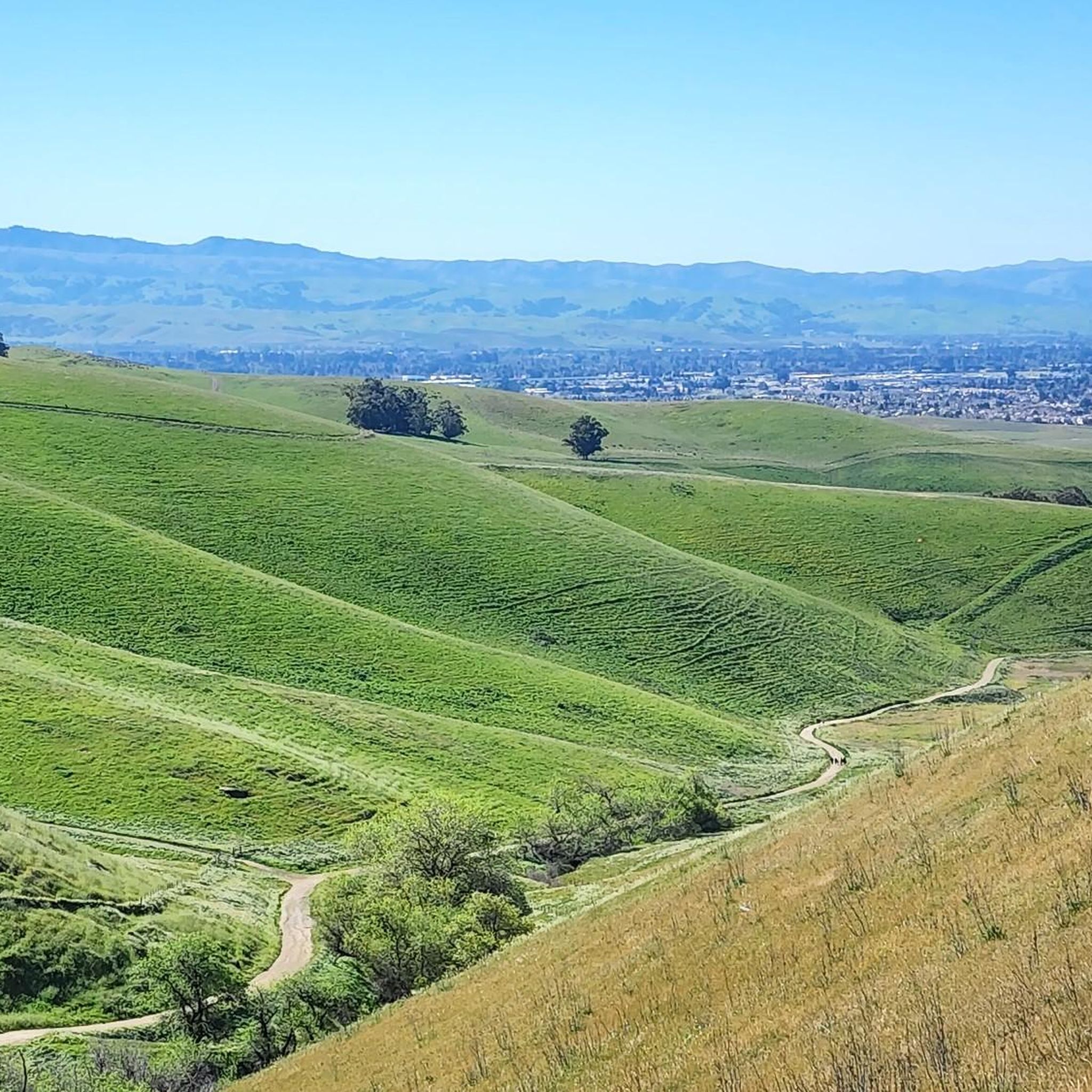
Road cycling in Brushy Peak Regional Park features routes through varied terrain, characterized by rolling hills and open landscapes. The park's elevation changes provide opportunities for sustained climbs and descents. Road cyclists can explore routes that traverse agricultural areas and offer views of the surrounding valleys. The region's topography makes it suitable for diverse road cycling experiences.
Best road cycling routes in Brushy Peak Regional Park
- The most popular road cycling route is Corral Hollow Pass – Patterson Pass loop…
Last updated: July 9, 2026
7
riders
36.2km
01:51
520m
520m
Moderate road ride. Good fitness required. Mostly well-paved surfaces and easy to ride.
20
riders
62.0km
04:28
760m
760m
Moderate road ride. Good fitness required. Mostly well-paved surfaces and easy to ride.

Sign up for free
25
riders
54.9km
02:30
290m
290m
Moderate road ride. Good fitness required. Mostly well-paved surfaces and easy to ride.
12
riders
47.4km
02:23
630m
630m
Moderate road ride. Good fitness required. Mostly well-paved surfaces and easy to ride.
5.0
(1)
7
riders
111km
05:04
990m
990m
Hard road ride. Very good fitness required. Mostly well-paved surfaces and easy to ride.
Get access to more routes and recommendations from other explorers.
Sign up for free
Already have an account?
Our route recommendations are based on thousands of hikes, rides, and runs completed by other people on komoot.
Start today with a free account
Your next adventure awaits.
Login or Signup
Popular around Brushy Peak Regional Park

Tips from the Community

The history of trains in Niles Canyon dates back to the building of the original transcontinental railroad. Today, you can still take train trips around the scenic and historic Niles Canyon Route on old-timey steam /diesel trains.
0
0

The Niles Canyon Railway Museum preserves the history of railroads in California. The museum is free, but only open on select Sundays, so check their schedule before going.
0
0

This section of Foothill Road follows closely along Arroyo de la Laguna. Seeing the river and unique farm animals on the side of the road is a treat!
0
0

There is a paved foot & bike path that runs straight through the park to Arroyo Road, though I am not sure if it actually has an exit onto the road. It continues further into Veterans Park. Of the gravel trails some are closed to bikes for nature preservation reasons. Others allow for a (mostly) easy gravel ride.
0
0
The Iron Horse Trail is a 32-mile multi-use path that connects Concord to Pleasanton, following the old route of the Southern Pacific Railroad; established in 1891 and abandoned in 1977. It is a great trail for recreation and commuting routes, connecting residential and commercial areas, schools, parks, and public transit.
0
0

Stay on the fire roads until you get your bearings...once you become familiar with the park you can explore the single/double track at your leisure...Great views of Pleasanton and Livermore in the distance!
0
0
Livermore is California's oldest wine region and lies as the easternmost city in the San Francisco Bay Area. This city boasts a historic downtown with shopping, dining, and entertainment.
0
0
The Sunol Depot houses the Niles Canyon Railway, a museum that showcases the role of the railroad in the development of California, as well as the United States.
0
0
Frequently Asked Questions
How many road cycling routes are available in Brushy Peak Regional Park, and what are their difficulty levels?
Brushy Peak Regional Park offers over 40 road cycling routes. The majority are moderate, with 27 routes falling into this category. There are also 11 easy routes and 3 more challenging options for experienced cyclists.
Are there suitable road cycling routes for beginners in Brushy Peak Regional Park?
Yes, beginners can find suitable routes. The park features 11 easy road cycling routes. While specific routes are not detailed as 'beginner-only' in the data, these easy options generally have less elevation gain and shorter distances, making them ideal for those new to road cycling in the area.
What options are available for experienced road cyclists seeking a challenge?
Experienced road cyclists looking for a challenge will find 3 difficult routes within Brushy Peak Regional Park. Additionally, many of the 27 moderate routes, such as the Corral Hollow Pass – Patterson Pass loop from Vasco Road, feature significant elevation gain over longer distances, providing a good workout.
Can I find circular road cycling routes in Brushy Peak Regional Park?
Yes, many road cycling routes in Brushy Peak Regional Park are designed as loops. For example, the popular Corral Hollow Pass – Patterson Pass loop from Vasco Road and the Shiva-Vishnu Temple loop from Garaventa Wetlands Preserve are both circular routes, allowing you to start and finish at the same point.
What is the best time of year for road biking in Brushy Peak Regional Park?
The best time for road biking in Brushy Peak Regional Park is typically during the spring and fall. These seasons offer milder temperatures, making longer rides more comfortable. Summer can be very hot, especially in the open, exposed areas, while winter may bring cooler temperatures and occasional rain, though the region generally experiences mild winters.
Are there any family-friendly road cycling routes in the park?
While the park's road cycling routes are generally designed for varying skill levels, some of the easier, shorter routes could be suitable for families with older children or those comfortable with road cycling. For instance, routes with less elevation and traffic, often found closer to the park's edges, might be more appropriate. Always check route details for specific suitability.
What kind of views and scenery can I expect while road cycling in Brushy Peak Regional Park?
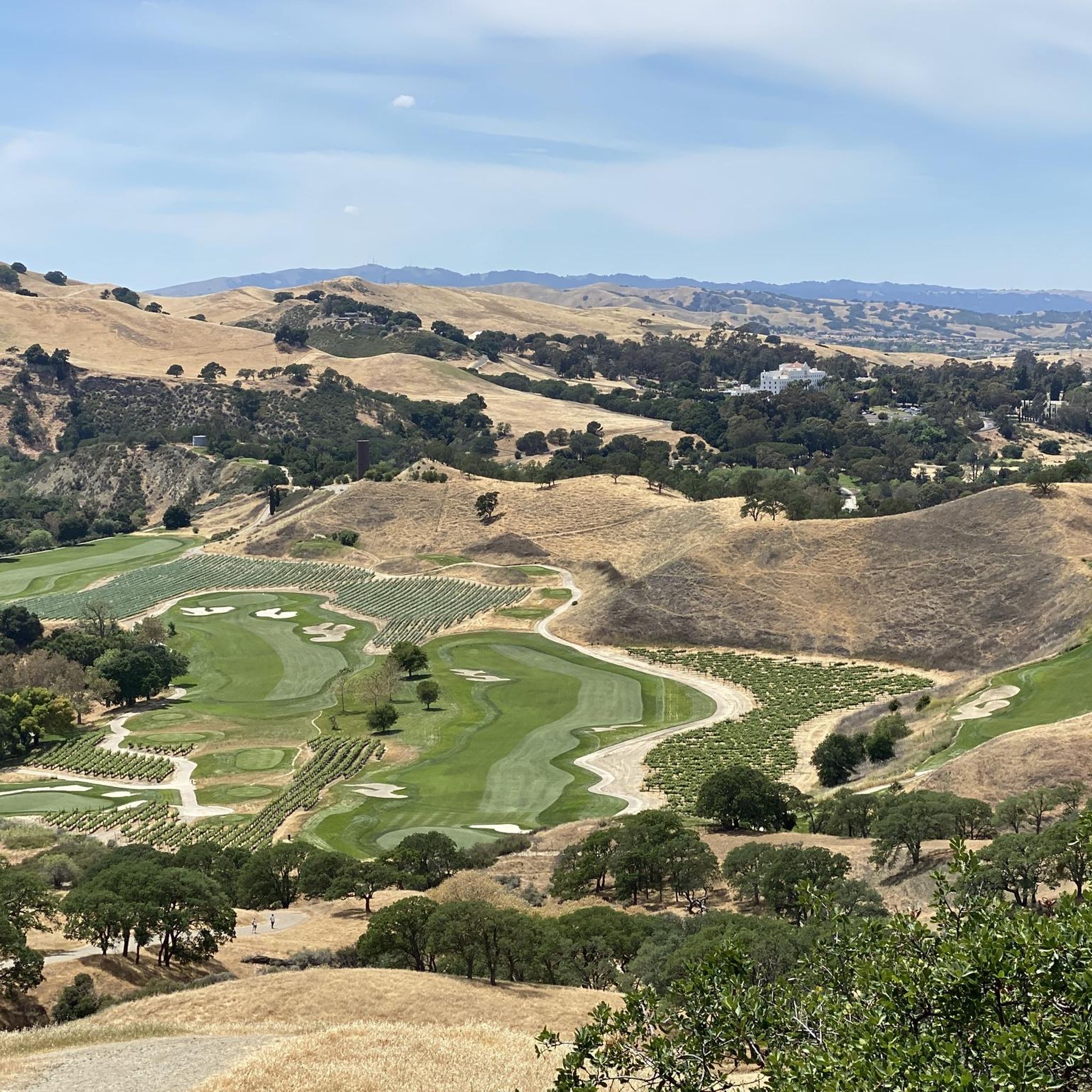
Road cycling in Brushy Peak Regional Park offers diverse scenery, characterized by rolling hills, open landscapes, and agricultural areas. You can expect views of surrounding valleys, especially from higher elevations. Routes often traverse past vineyards and open country, providing a sense of expansive natural beauty.
Are there any notable landmarks or points of interest along the road cycling routes?
While the road cycling routes primarily focus on the natural landscape and agricultural areas, the broader Brushy Peak Regional Park area features several points of interest. You can explore trails like the Tamcan Trail or the Laughlin Loop Trail, which offer different perspectives of the park's terrain.
What do other road cyclists enjoy most about road cycling in Brushy Peak Regional Park?
The area is highly rated by the komoot community, with an average score of 4.5 stars from over 10 reviews. Reviewers often praise the varied terrain, which includes both challenging climbs and scenic descents, as well as the open vistas and agricultural landscapes that define the region's unique character.
Where can I find parking for road cycling routes in Brushy Peak Regional Park?
Many road cycling routes in the area, such as the Corral Hollow Pass – Patterson Pass loop and the Livermore loop, often start from locations like Vasco Road. It's advisable to check the specific route details on komoot for designated parking areas or trailheads, as parking availability can vary.
Are there any cafes or refreshment stops near the road cycling routes?
While Brushy Peak Regional Park itself is largely undeveloped, many road cycling routes extend into or pass near towns like Livermore. These areas offer various cafes, restaurants, and shops where cyclists can refuel and find refreshments. Planning your route to include these towns can ensure convenient stops.
What are the typical distances and durations for road cycling routes in the park?
Road cycling routes in Brushy Peak Regional Park vary significantly in length and duration. You can find routes ranging from shorter options like the Shiva-Vishnu Temple loop from Garaventa Wetlands Preserve, which is 22.5 miles (36.2 km) and takes about 1 hour 50 minutes, to longer rides such as the Livermore loop from Vasco Road, covering 42.1 miles (67.7 km) in about 3 hours 9 minutes.
Most popular routes in Brushy Peak Regional Park
Most popular attractions in Brushy Peak Regional Park

Get inspired with the komoot mobile app


Explore more
Browse the best Road cycling routes in other regions.
