Bishop Ranch Regional Open Space Preserve
Bishop Ranch Regional Open Space Preserve
The best running trails in Bishop Ranch Regional Open Space Preserve
4.3
(7)
865
runners
121
runs
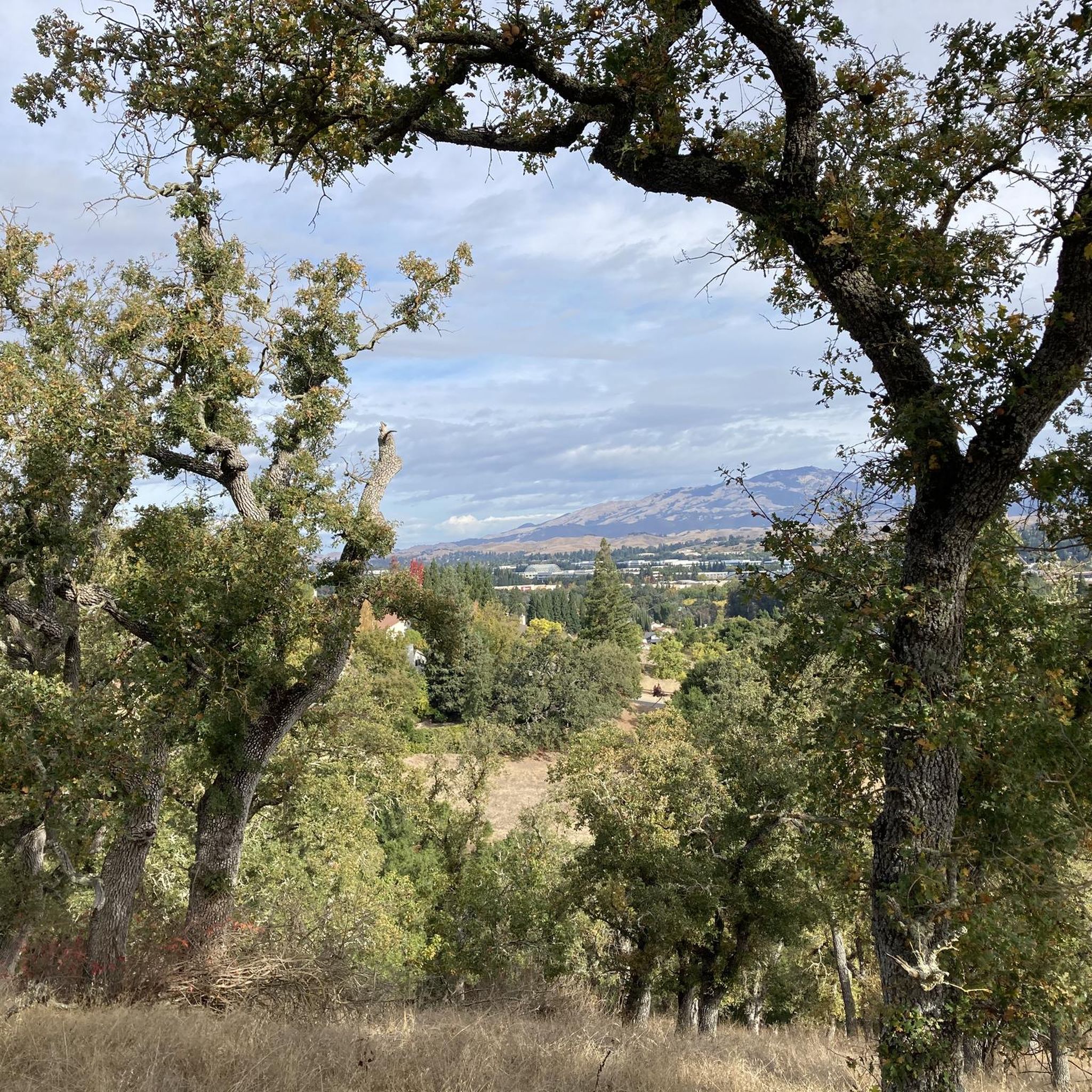
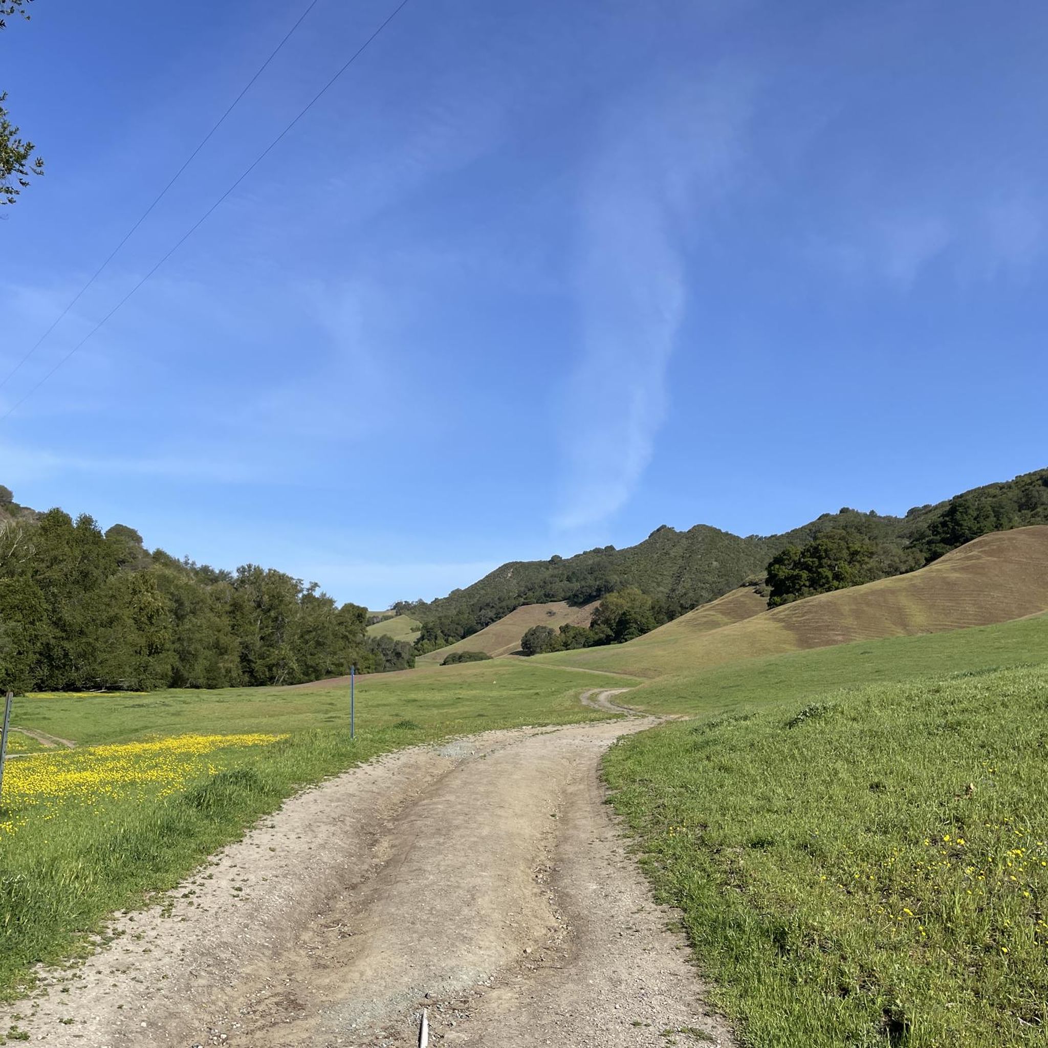
Jogging in Bishop Ranch Regional Open Space Preserve offers access to a diverse trail network situated on a ridgetop at the edge of San Ramon. The preserve is characterized by rolling treeless hills, grasslands, and attractive blue oak groves. Joggers can experience scenic hilltop views of the surrounding oak-wooded hills, the San Ramon Valley, and distant glimpses of Mount Diablo. The terrain includes both well-maintained paths and some notably steep sections, providing varied running experiences.
Best jogging routes in Bishop Ranch Regional Open Space Preserve
- The most popular jogging route is Iron Horse Trail – Golf Ball Protection Tunnel loop from California High School, a 5.0 miles (8.0 km) trail that takes 49 minutes to complete. This route utilizes a section of the popular, paved Iron Horse Regional Trail.
- Another top favourite among local runners is Iron Horse Regional Trail Loop, a moderate 6.5 miles (10.5 km) path. This route offers accessible, multi-use terrain suitable for various running paces.
- Local runners also love the Bollinger Canyon Waterfall loop from San Ramon, a 9.0 miles (14.5 km) trail leading through varied terrain, often completed in about 1 hour 31 minutes.
- Jogging in Bishop Ranch Regional Open Space Preserve is defined by rolling hills, grasslands, and scenic ridgetop views. The extensive trail network offers options for easy, moderate, and challenging running experiences.
- The routes in Bishop Ranch Regional Open Space Preserve are highly rated by the komoot community with an average score of 4.3 stars from over 4 reviews. More than 560 runners have used komoot to explore Bishop Ranch Regional Open Space Preserve's varied terrain.
Last updated: August 31, 2026
20
runners
9.50km
00:59
20m
20m
Moderate run. Good fitness required. Mostly paved surfaces. Suitable for all skill levels.
5.0
(1)
11
runners
Moderate run. Good fitness required. Mostly paved surfaces. Suitable for all skill levels.

Sign up for free
4
runners
14.5km
01:31
140m
140m
Moderate run. Good fitness required. Mostly paved surfaces. Suitable for all skill levels.
3
runners
Moderate run. Good fitness required. Mostly paved surfaces. Suitable for all skill levels.
24
runners
10.5km
01:07
20m
20m
The Iron Horse Regional Trail Loop provides a moderate jogging experience, covering 6.5 miles (10.5 km) with a gentle elevation gain of 75 feet (23 metres). You can expect to complete this route in about 1 hour and 7 minutes. As you jog, you will encounter a varied landscape, moving through urban, suburban, and natural environments. Keep an eye out for views of marshy creeks and distant hills, with the San Ramon Creek Trail and Osage Station Park offering pleasant visual anchors along the way. The route is predominantly paved, but if you prefer a softer surface, some sections feature adjacent unpaved paths.
Planning your visit to the Iron Horse Regional Trail is straightforward due to its excellent accessibility. The trail connects multiple communities, making it a convenient option for many. You can easily reach the route via public transport, as it directly connects to both the Dublin/Pleasanton and Pleasant Hill BART stations. The well-maintained and paved nature of the trail ensures it is suitable for a wide range of users, offering a reliable surface for your jogging workout.
This regional trail is notable for its role in connecting diverse areas, allowing you to experience a blend of settings within a single outing. Its design caters to a broad audience, providing an accessible and consistent path for exercise and recreation. The mix of urban and natural elements makes it a unique feature in the region, offering a refreshing change of scenery as you complete your loop.
Get access to more routes and recommendations from other explorers.
Sign up for free
Already have an account?
Our route recommendations are based on thousands of hikes, rides, and runs completed by other people on komoot.
Start today with a free account
Your next adventure awaits.
Login or Signup
Popular around Bishop Ranch Regional Open Space Preserve


Tips from the Community

The Iron Horse Trail, open from 5 a.m. to 10 p.m., stretches 32 miles between Concord and Pleasanton, following the former Southern Pacific Railroad. The latest segment, connecting Pleasanton/Dublin BART to Santa Rita Road, opened in 2014 after nearly 30 years of planning. This multi-use trail links residential areas, schools, parks, and public transportation, providing a trail to the local community. This paved trail crosses roads but is a safe way of getting around away from traffic.
0
0

This 2.71-mile trail begins at Timbercreek Road and follows the ridge line of the Dougherty Hills with beautiful views of San Ramon, the Dublin Hills, and Mount Diablo. The route ascends to 850 feet in elevation through lush tall grasses, oak trees, and various native plants, gradually descending to the trail's end at Bollinger Canyon Road.
0
0

The trail runs through the great neighborhood of Southern San Ramon and crosses the bridge over Coyote Creek.
1
0

The Bollinger Canyon Fountain, more of a waterfall than a traditional fountain, creates a peaceful atmosphere with the soothing sounds and sights of flowing water. There are several spots with large rocks where you can sit and enjoy the surroundings.
0
0

South of the trail bridge marking the Alameda -Contra Costa County line a couple of shade structures provide some protection from the sun along this largely shadeless and tree-free section of the San Ramon Valley Iron Horse Trail
1
0
More narrow and gently winding but quieter than the Iron Horse Trail, this is a nice alternate or loop option and links up again with the Iron Horse Trail
0
0
Instead of the former railway station at this site the lush tree-lined park offers grassy meadows, restrooms, drinking water fountains, and a railroad-themed playground
0
0
The Iron Horse Trail is protected with a fence tunnel from flying golf balls as it passes through the Country Club with golf course greens on both sides.
0
0
Frequently Asked Questions
How many running routes are available in Bishop Ranch Regional Open Space Preserve?
There are over 100 running routes in Bishop Ranch Regional Open Space Preserve, offering a wide range of experiences. You'll find options from easy, flat paths to more challenging trails with significant elevation changes. Specifically, there are 16 easy routes, 83 moderate routes, and 20 difficult routes to explore.
What kind of terrain can I expect on the jogging trails?
The preserve features diverse terrain, including rolling treeless hills, grasslands, and attractive blue oak groves. While some paths are well-maintained, you'll also encounter steeper, rougher sections typical of the East Bay. The Iron Horse Trail – Golf Ball Protection Tunnel loop from California High School, for example, utilizes a popular paved section, offering a smoother running surface.
Are there any easy running routes suitable for beginners or a relaxed jog?
Yes, Bishop Ranch offers several easy running routes. A great option for a relaxed jog is the Running loop from California High School, which is approximately 3 miles long and has minimal elevation gain, making it ideal for beginners or those looking for a less strenuous run.
Can I find circular running routes in the preserve?
Absolutely. Many of the running paths in Bishop Ranch Regional Open Space Preserve are designed as loops, allowing you to start and finish at the same point. The Iron Horse Regional Trail Loop is a popular moderate 6.5-mile option that provides a continuous circuit through the area.
Are dogs allowed on the running trails in Bishop Ranch Regional Open Space Preserve?
Yes, Bishop Ranch Regional Open Space Preserve is generally dog-friendly, making it a great place to jog with your canine companion. However, it's always best to keep your dog on a leash and be mindful of other trail users and wildlife. Always check local regulations for any specific trail restrictions.
What are some notable landmarks or viewpoints I can see while running?
While jogging, you can enjoy scenic hilltop views of the surrounding oak-wooded hills, the San Ramon Valley, and even distant glimpses of Mount Diablo. A significant natural feature and local landmark within the preserve is Harlan Hill, which rises to an elevation of 1,719 feet (524 meters) and offers expansive vistas.
Is there public transport available to reach Bishop Ranch Regional Open Space Preserve?
The preserve is easily accessible from urban areas, and while specific public transport routes directly into the preserve's trailheads might vary, the San Ramon Valley is served by local bus services. You may need to combine public transport with a short walk or ride to reach certain access points. The Iron Horse Regional Trail, which connects to the preserve, is also a major multi-use corridor.
Where can I park when visiting Bishop Ranch Regional Open Space Preserve for a run?
Parking is generally available at various trailheads and access points around the preserve. Specific parking information can often be found on detailed route descriptions. For instance, routes like the San Ramon iron horse trail – Iron Horse Trail loop from Crow Canyon Place & Fostoria Way often have nearby parking facilities.
What is the best time of year to go running in Bishop Ranch Regional Open Space Preserve?
Spring is particularly beautiful for running in Bishop Ranch, as the grasslands burst with vibrant wildflowers. However, the preserve offers enjoyable conditions throughout much of the year. Summers can be warm, so early morning or late afternoon runs are recommended. Fall and winter also provide pleasant temperatures, though seasonal creeks might be more active after rains.
Are there any trails suitable for families with strollers?
For families with strollers, the paved sections of the Iron Horse Regional Trail, which connects to Bishop Ranch, are an excellent choice. These paths are flat and accessible, providing a smooth surface for strollers. Within the preserve itself, some of the easier, well-maintained paths might be suitable, but always check specific route details for terrain conditions.
What do other runners enjoy most about jogging in Bishop Ranch Regional Open Space Preserve?
The area is highly rated by the komoot community, with an average score of 4.3 stars from more than 4 reviews. Runners often praise the diverse trail network, the scenic hilltop views, and the peaceful escape into nature that the preserve offers. The variety of terrain, from paved sections to rolling hills, is also frequently highlighted.
Can I spot any wildlife while out on a run?
Yes, Bishop Ranch Regional Open Space Preserve is home to various wildlife. While jogging, you might frequently spot deer grazing in the grasslands. Keep an eye on the skies for red-tailed hawks and turkey vultures soaring overhead, adding to the natural experience of your run.
Most popular routes in Bishop Ranch Regional Open Space Preserve

Get inspired with the komoot mobile app


Explore more
Browse the best Running Trails & Routes in other regions.
