Lafayette Reservoir Recreation Area
Lafayette Reservoir Recreation Area
The best road cycling routes in Lafayette Reservoir Recreation Area
4.5
(191)
6,968
riders
87
rides
Road cycling in Lafayette Reservoir Recreation Area features routes that navigate rolling hills and scenic landscapes surrounding the reservoir. The area is characterized by a mix of paved multi-use trails and quiet roads, offering varied terrain for road cyclists. Elevations are generally moderate, with some routes including more significant climbs into the surrounding hills of Contra Costa County.
Best road cycling routes in Lafayette Reservoir Recreation Area
- The most popular road cycling route is Lamorinda Trail & Carquinez Scenic Drive loop, a 49.7 miles (80.1 km) trail that takes about 4 hours to complete, featuring diverse scenery from multi-use paths to scenic drives.
- Another top favourite among local road cyclists is Lamorinda and Iron Horse Trail Loop, a moderate 53.9 miles (86.8 km) path. This route combines sections of the popular Iron Horse Trail with other local roads, offering a mix of flat and gently rolling terrain.
- Local road cyclists also love the Lafayette – Skyline Boulevard loop from Lafayette, a 40.5 miles (65.2 km) trail leading through varied landscapes including significant climbs, often completed in about 3 hours 27 minutes.
- Road cycling in Lafayette Reservoir Recreation Area is defined by paved multi-use trails, rolling hills, and scenic reservoir views. The network offers options for different ability levels, from moderate loops to more challenging routes with notable elevation gains.
- The routes in Lafayette Reservoir Recreation Area are highly rated by the komoot community with an average score of 4.4 stars from over 120 reviews. More than 4,900 road cyclists have used komoot to explore Lafayette Reservoir Recreation Area's varied terrain.
Last updated: August 31, 2026
3.0
(1)
56
riders
80.1km
03:59
1,010m
1,010m
Hard road ride. Very good fitness required. Mostly well-paved surfaces and easy to ride.
7
riders
86.8km
04:01
670m
670m
Moderate road ride. Good fitness required. Mostly well-paved surfaces and easy to ride.

Sign up for free
4.5
(4)
109
riders
35.6km
01:47
570m
570m
Moderate road ride. Good fitness required. Mostly well-paved surfaces and easy to ride.
18
riders
36.7km
02:34
490m
490m
Moderate road ride. Good fitness required. Some segments of this route may be unpaved and difficult to ride.
12
riders
31.7km
01:33
460m
450m
Moderate road ride. Good fitness required. Mostly well-paved surfaces and easy to ride.
Get access to more routes and recommendations from other explorers.
Sign up for free
Already have an account?
Our route recommendations are based on thousands of hikes, rides, and runs completed by other people on komoot.
Start today with a free account
Your next adventure awaits.
Login or Signup

Tips from the Community

In this area of the Sobrante Ridge Regional Preserve, visitors can find the Sobrante Ridge Trailhead. The preserve is 277 acres in size and is a parkland that preserves the habitat of the extremely rare Alameda manzanita. It is an important home to indigenous plants and animals in this area.
0
0

Valle Vista is the trailhead for the paved Lafayette-Moraga Regional Trail, a popular rail-trail for cyclists. There’s a restroom here, but note: the EBMUD dirt trails are hiking-only and require a permit. The bike trail has been officially closed between here and Moraga since a 2019 landslide.
0
0

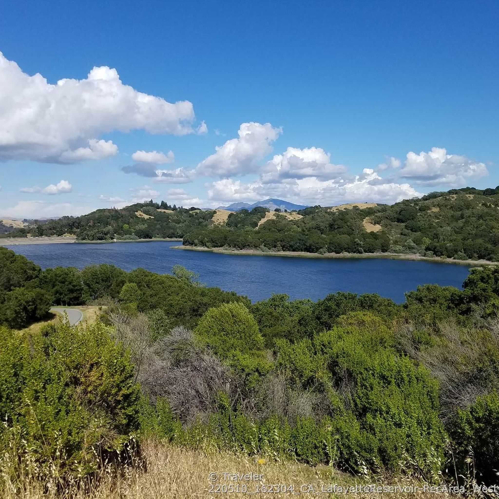
The reservoir is a definite scenic highlight, and you can expect to see plenty of people kayaking, fishing, and hiking on and off the water. San Pablo Dam Road takes you to a couple different boat launches and picnic areas with views of the water. Old San Pablo Dam Road is more scenic and winds along the shore, but the surface is quite old and, while technically paved, is really better suited for a gravel bike.
0
0
There are a bunch of great hiking and biking trails around the reservoir. Some, like the Shore Trail, are two-lane paved cycleways with no vehicle traffic, and others are unpaved dirt roads up in the hills. All are beautiful trails to explore on two wheels!
0
0

The Lafayette-Moraga Regional Trail is a 7.65-mile path that runs through Moraga Valley, connecting Las Trampas Ridge with Oakland Hills.
0
0
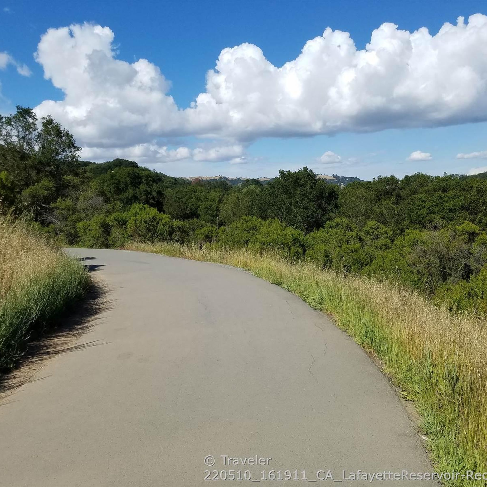
The Lafayette Reservoir Recreation Area is a year-round park with a 2.7 paved walkway around the reservoir. Looking around at the surrounding hills makes you forget you're in the middle of a Bay Area suburb.
0
0
Leigh Creekside Park is a small park that is just over an acre in size. The park is a nice resting spot just off the Lafayette-Moraga Trail and features picnic tables, a drinking fountain, and plenty of shade
0
0
The Iron Horse Trail is a 32-mile multi-use path that connects Concord to Pleasanton, following the old route of the Southern Pacific Railroad; established in 1891 and abandoned in 1977. It is a great trail for recreation and commuting routes, connecting residential and commercial areas, schools, parks, and public transit.
0
0
Frequently Asked Questions
What is the general difficulty level for road cycling in Lafayette Reservoir Recreation Area?
The Lafayette Reservoir Recreation Area offers a mix of road cycling routes. You'll find options ranging from moderate loops with gently rolling terrain to more challenging routes that include significant climbs into the surrounding hills. Approximately 36 routes are considered easy, 42 are moderate, and 12 are difficult, providing choices for various skill levels.
Are there any beginner-friendly road cycling routes in the Lafayette Reservoir area?
Yes, beginners can find suitable routes. The area features paved multi-use trails and quiet roads that offer gentler terrain. While specific beginner routes aren't highlighted, many of the 36 easy routes available will provide a comfortable experience for those new to road cycling.
Where can I park when road cycling in Lafayette Reservoir Recreation Area?
Parking is available at the Lafayette Reservoir Recreation Area itself. There are designated parking lots for visitors accessing the trails and facilities around the reservoir. It's advisable to check the official park website for current parking fees and operating hours before your visit.
What kind of terrain can I expect on road cycling routes around Lafayette Reservoir?
Road cycling in this area features a diverse landscape. You'll encounter paved multi-use trails, quiet local roads, and rolling hills. Some routes include significant climbs, particularly those extending into the broader Contra Costa County hills, while others offer flatter sections, such as parts of the Iron Horse Trail.
Are there any long-distance road cycling loops that combine different trails?
Yes, several routes combine different trails and roads for longer rides. For example, the Lamorinda and Iron Horse Trail Loop is a moderate 53.9-mile path that integrates sections of the popular Iron Horse Trail with other local roads, offering a varied experience.
What are some scenic viewpoints or attractions along the road cycling routes?
Many routes offer scenic views of the Lafayette Reservoir itself. The area is rich with natural beauty, and you can often find picturesque spots along the trails. The Lafayette Reservoir Recreation Area is a central highlight, and trails like the Rim Trail offer elevated perspectives.
Can I find cafes or places to refuel near the road cycling trails?
The Lafayette Reservoir Recreation Area is conveniently located near the city of Lafayette, which offers various amenities. You'll find cafes, restaurants, and shops in the downtown area, typically a short ride from the reservoir, where you can refuel and relax during or after your ride.
What do other road cyclists say about the routes in Lafayette Reservoir Recreation Area?
The road cycling routes in Lafayette Reservoir Recreation Area are highly regarded by the komoot community, with an average rating of 4.4 stars from over 120 reviews. Cyclists often praise the diverse scenery, the mix of challenging climbs and gentle paths, and the overall well-maintained nature of the trails and roads.
Are there any particularly challenging road cycling routes for experienced riders?
Experienced riders looking for a challenge will find several difficult routes. The Lafayette – Skyline Boulevard loop from Lafayette, for instance, is a 40.5-mile route with significant elevation gains, often completed in under 3.5 hours, providing a robust workout.
What is the best time of year to go road cycling in Lafayette Reservoir Recreation Area?
The Lafayette Reservoir Recreation Area is enjoyable for road cycling year-round, though conditions vary. Spring and fall offer pleasant temperatures and vibrant scenery. Summers can be warm, so early morning rides are recommended. Winters are generally mild, but it's always wise to check local weather forecasts for rain or cooler temperatures.
Are there any road cycling routes that offer views of other lakes or natural features?
While the primary focus is the Lafayette Reservoir, the surrounding region of Contra Costa County offers diverse natural features. Some longer routes, like the Lamorinda Trail & Carquinez Scenic Drive loop, extend into areas that may offer broader scenic vistas beyond the immediate reservoir, including glimpses of the Carquinez Strait.
How many road cycling routes are available in the Lafayette Reservoir Recreation Area?
There are over 90 road cycling routes documented in the Lafayette Reservoir Recreation Area, offering a wide variety of distances, difficulty levels, and scenic experiences for cyclists.
Most popular routes in Lafayette Reservoir Recreation Area
Most popular attractions in Lafayette Reservoir Recreation Area

Get inspired with the komoot mobile app


Explore more
Browse the best Road cycling routes in other regions.
