The best road cycling routes in Blithedale Summit Open Space Preserve
4.6
(225)
10,244
riders
113
rides
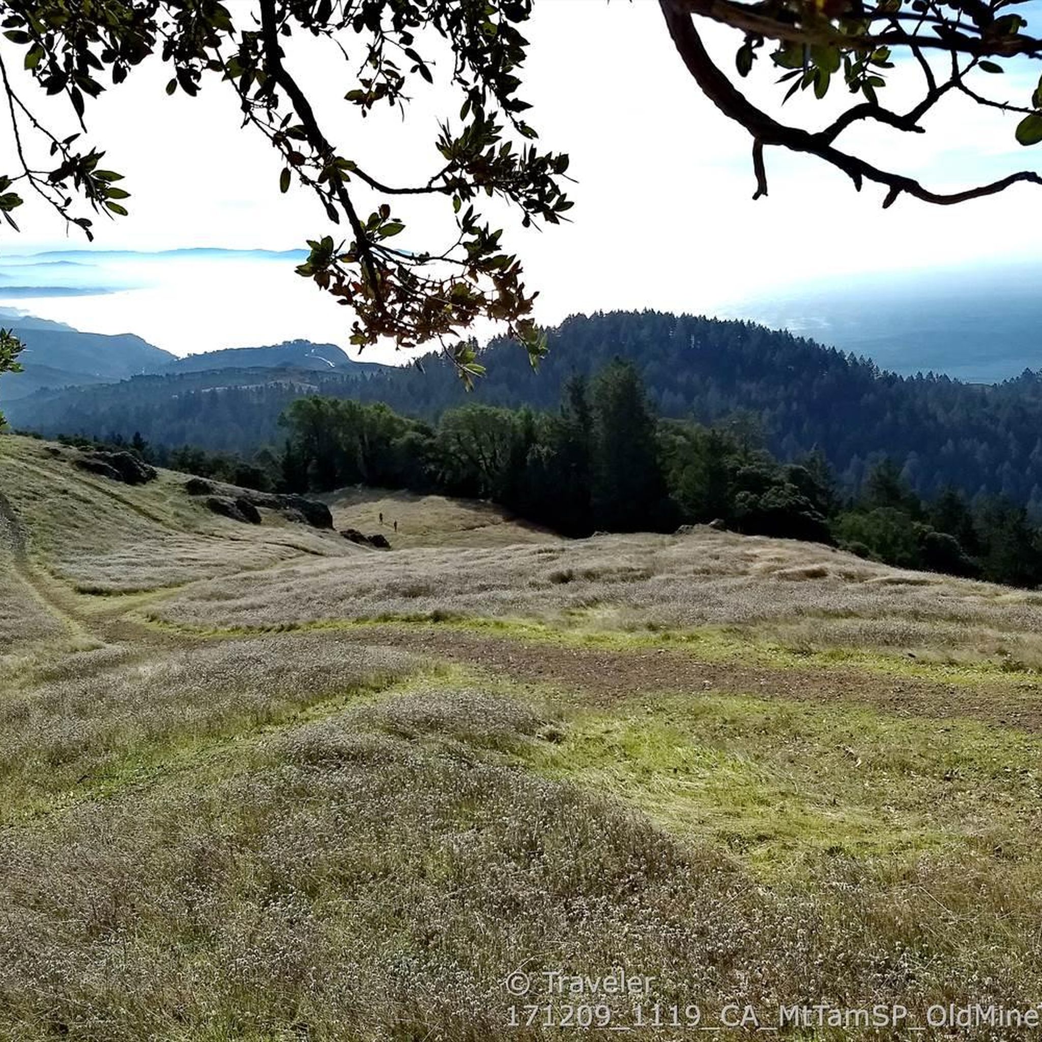
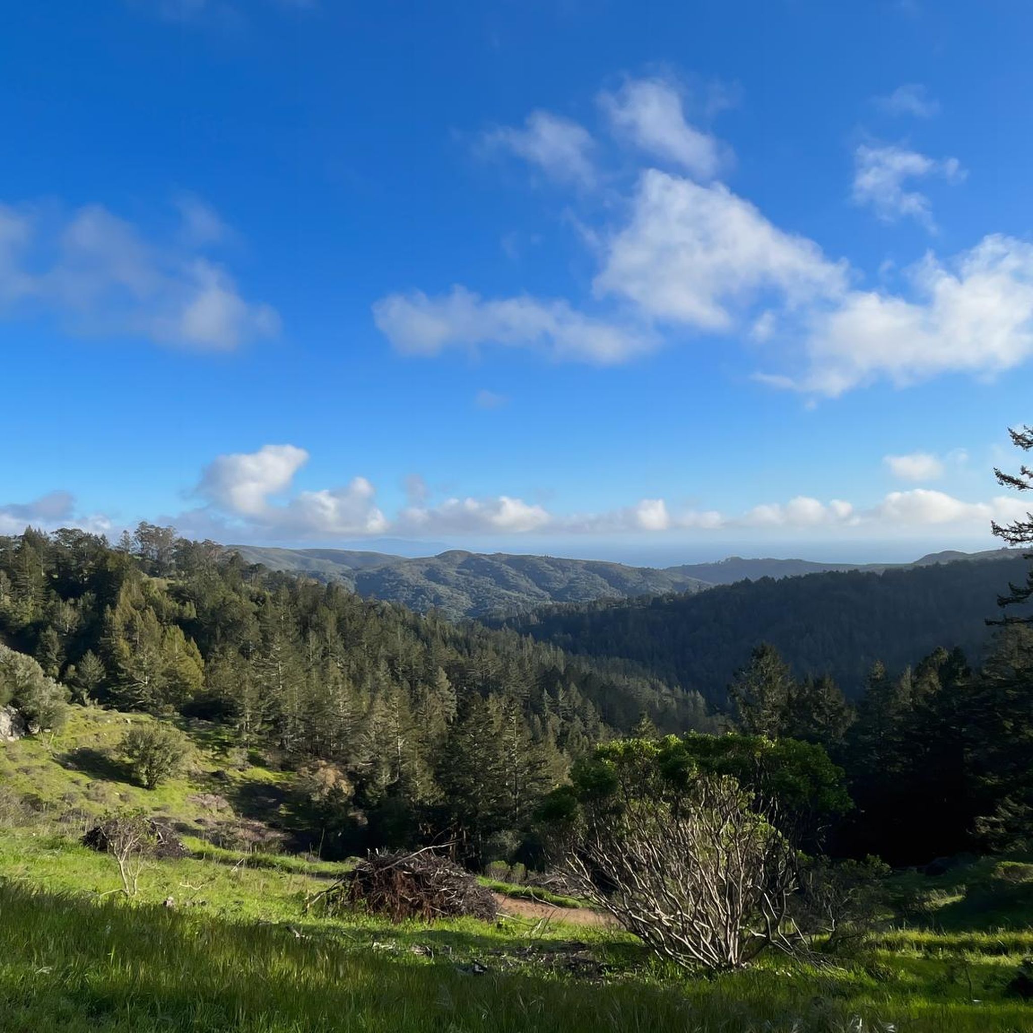
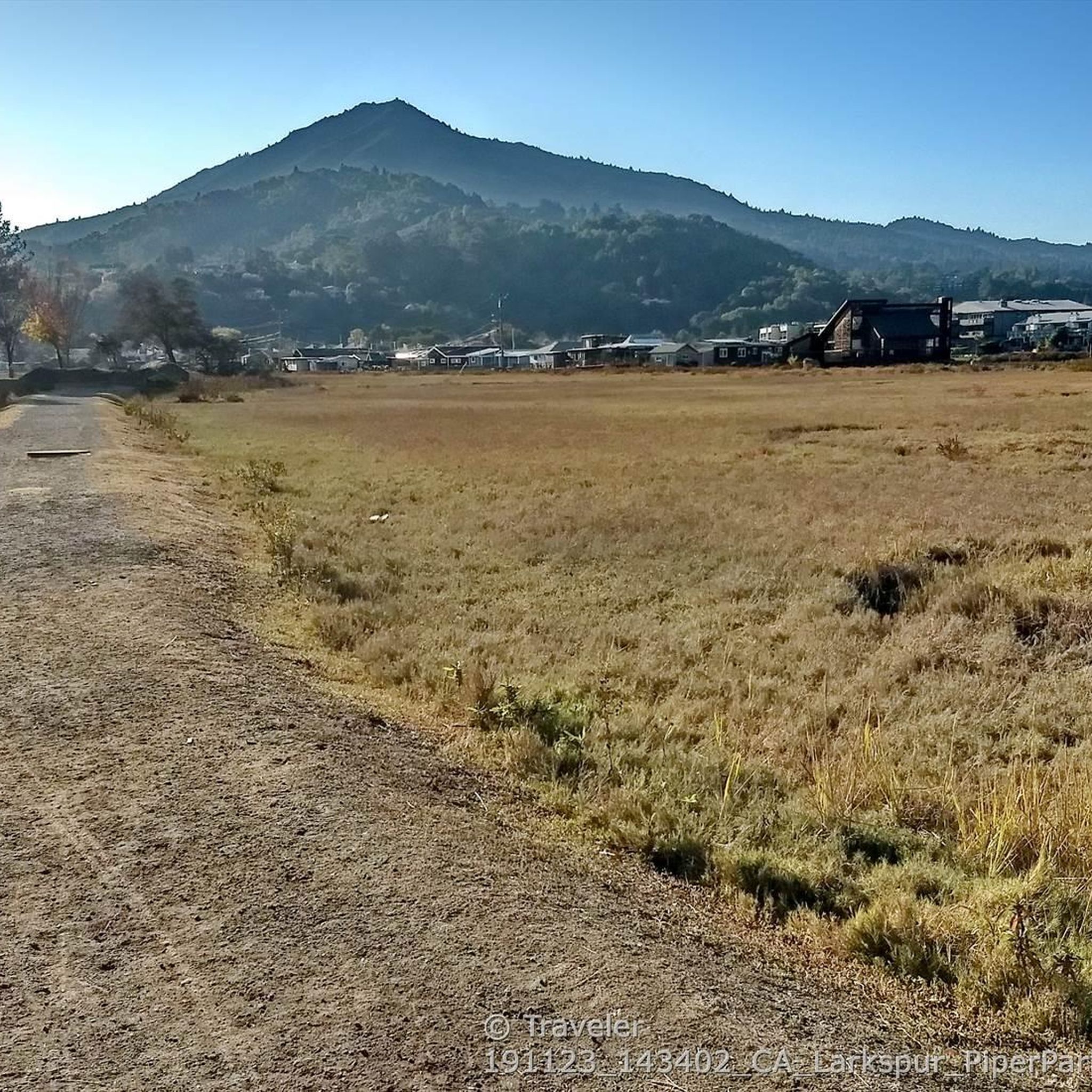
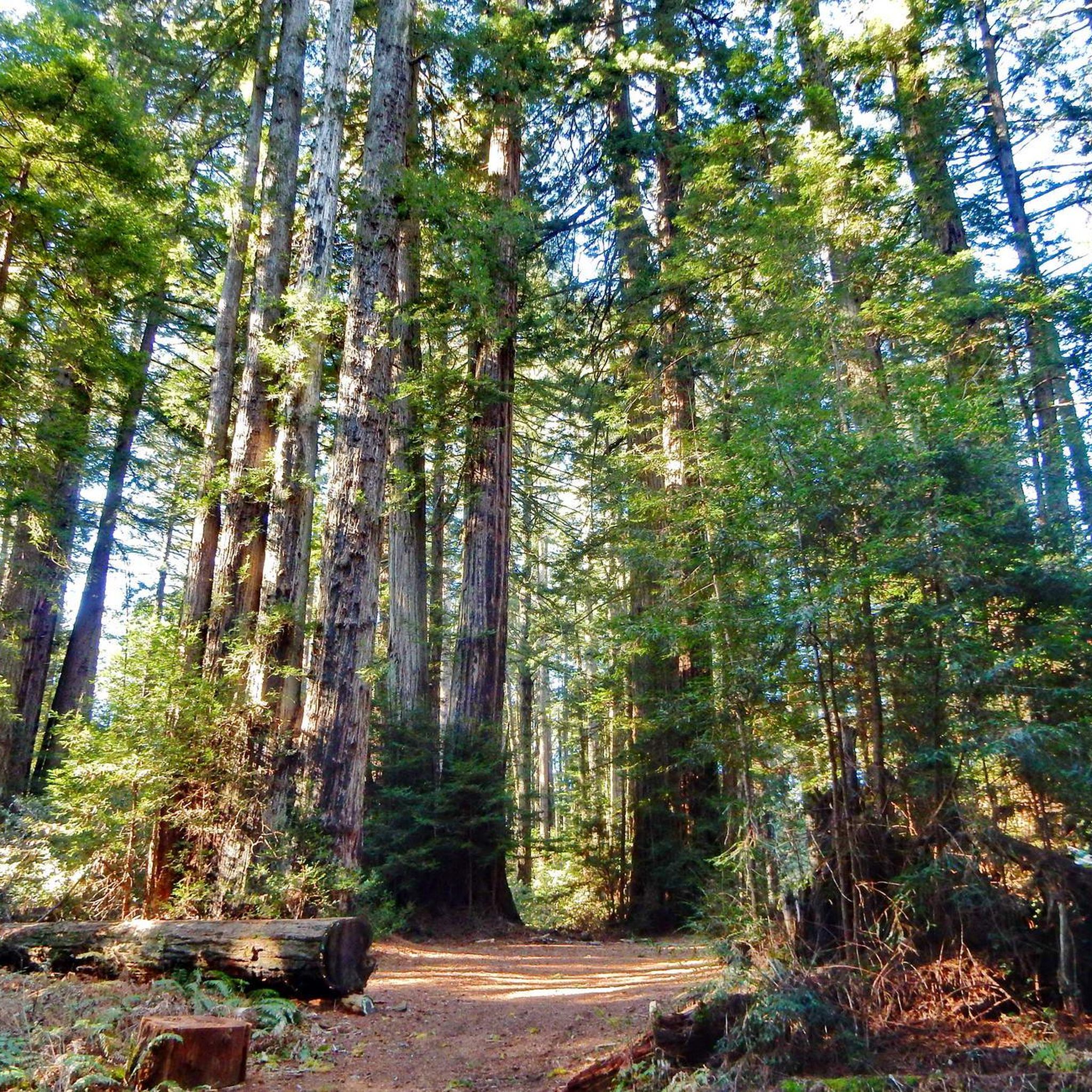
Road cycling routes in Blithedale Summit Open Space Preserve traverse a 639-acre natural area along Mount Tamalpais's northern ridge. The preserve features diverse landscapes, including redwood forests, dense chaparral, and open grasslands, with fire roads suitable for cycling. Terrain varies from gentle ascents like the Old Railroad Grade to more challenging sections on the Blithedale Ridge Fire Road. Higher elevations provide panoramic views of the Marin Headlands, San Francisco Bay, and distant peaks.
Best road cycling routes in Blithedale Summit…
Last updated: August 20, 2026
30
riders
32.2km
02:02
420m
420m
Moderate road ride. Good fitness required. Some segments of this route may be unpaved and difficult to ride.
172
riders
34.9km
02:09
940m
940m
Hard road ride. Very good fitness required. Mostly well-paved surfaces and easy to ride.

Sign up for free
5.0
(2)
61
riders
23.0km
01:04
210m
220m
Easy road ride. Great for any fitness level. Mostly well-paved surfaces and easy to ride.
32
riders
Hard road ride. Very good fitness required. Mostly well-paved surfaces and easy to ride.
5.0
(1)
68
riders
Moderate road ride. Good fitness required. Mostly well-paved surfaces and easy to ride.
Get access to more routes and recommendations from other explorers.
Sign up for free
Already have an account?
Our route recommendations are based on thousands of hikes, rides, and runs completed by other people on komoot.
Start today with a free account
Your next adventure awaits.
Login or Signup
Popular around Blithedale Summit Open Space Preserve
Tips from the Community

Mount Tam East Peak offers some of the most majestic views north of the bay. From this vantage point, you can see all of Marin, along with Point Reyes to the north and Oakland and San Francisco to the south. The stunning panoramic vistas make the journey well worth the effort. There are restrooms and picnic tables, ideal for a snack or lunch while you capture some incredible photos.
0
0


Often busy on weekends, this is a great spot to take moment before/after summiting Mt Tam. There are spigots to fill up water and bathrooms that are open during park hours. The parking lot is very close for those that drive up. There is access to MANY trails for those on foot/bike.
0
0

Set beneath the towering trees of Mount Tam, Rock Springs is the perfect jumping-off point for scenic hikes and quiet picnics—where trails, wildlife, and wide-open views begin.
0
0
Perched high on Mount Tam, the stone-built Mountain Theater offers sweeping views and timeless performances—where nature and art come together in one of California’s most breathtaking open-air stages.
0
0

The Sausalito Bike Path runs through Mill Valley. It's a paved route with great views of the wetlands on the old Northwest-Pacific rail line, which operated from 1884 until its closure in 1971. The path ends near Mike’s Bikes in Marin City, where riders can continue along the busy Bridgeway into Sausalito or take quieter marina backroads.
2
0

The Pantoll Campground is a First-come/first-serve site in Mt. Tamalpais State Park. Each site has a barbeque grill, a fire ring, and a picnic table. You need to pay for the site at the Ranger Station as you enter the park.
1
0

Now open for more than a hundred years, this inn welcomes visitors high on the flanks of Mount Tamalpais. The guestrooms mostly face east, but the grounds include great vantages to the west over the Bay. There's also a restaurant, and this has been voted one of the most romantic spots in the Bay Area several times over.
0
0
Frequently Asked Questions
How many road cycling routes are available in Blithedale Summit Open Space Preserve, and what are their difficulty levels?
There are over 110 road cycling routes available in Blithedale Summit Open Space Preserve. These routes cater to various skill levels, with 41 easy routes, 47 moderate routes, and 26 difficult routes, ensuring options for every rider.
Are there challenging road cycling routes for experienced riders in the preserve?
Yes, experienced riders will find challenging options. The preserve features 26 difficult routes, including the Alpine Lake – Alpine Dam loop from Mill Valley, which is 42.9 miles long with significant climbs. Another demanding option is the Pantoll Road – Mount Tamalpais Summits loop from Mill Valley, offering extensive elevation gain and panoramic vistas.
Are there easy road cycling routes suitable for beginners or families?
Yes, the preserve offers 41 easy road cycling routes. The historic Old Railroad Grade, while not a specific komoot route listed here, is known for its gentle slope, making it accessible for less experienced cyclists and families. You can find routes like the Camino Alto Road – Sausalito Path loop from Corte Madera, which is 14.6 miles long and classified as easy.
What scenic viewpoints can I expect to see while road cycling in the preserve?
From higher elevations, cyclists are treated to breathtaking panoramic views of the Marin Headlands, the expansive San Francisco Bay, and the majestic peaks of White Hill, Bald Hill, and Loma Alta. The preserve also offers serene redwood forests and areas shaded by various native trees.
Are there any notable natural features or attractions along the road cycling routes?
Yes, the preserve boasts diverse natural beauty. You can experience deep, cool forests, dense chaparral, and open grasslands. During the rainy season, you might encounter charming seasonal waterfalls. In spring, the canyons and hillsides burst with wildflowers. For specific points of interest, consider exploring highlights like Summit Drive viewpoint or the Middle Summit / Escalon Fire Road 🗻🚵.
What do other road cyclists enjoy the most about road cycling in Blithedale Summit Open Space Preserve?
The area is highly rated by the komoot community, with an average score of 4.7 stars from over 170 reviews. Reviewers often praise the diverse landscapes, from towering redwoods to open grasslands, and the panoramic views of the San Francisco Bay. The variety of routes, catering to all difficulty levels, is also a frequently mentioned positive aspect.
Are there any loop trails for road cycling in the preserve?
Yes, many road cycling routes in the preserve are designed as loops. For example, the Camino Alto Road – Corte Madera Creek loop from Mill Valley offers a 29.7-mile moderate ride, providing a circular journey through the area.
Where can I find parking for road biking in Blithedale Summit Open Space Preserve?
While specific parking lots within the preserve are not detailed, the preserve connects the communities of Corte Madera, Larkspur, and Mill Valley. Cyclists often start their journeys from downtown Mill Valley, where various parking options may be available, or from other access points in the surrounding towns.
What is the best time of year for road biking in Blithedale Summit Open Space Preserve?
The preserve offers year-round cycling opportunities. Spring is particularly beautiful with wildflower displays, and the rainy season brings seasonal waterfalls. The diverse habitats, including shaded redwood groves, can offer cooler temperatures during warmer months, making it enjoyable across seasons.
Are there cafes or places to eat near the road cycling routes?
The preserve connects to communities like Mill Valley, Corte Madera, and Larkspur. These towns offer various cafes, restaurants, and pubs where you can refuel before or after your ride. You'll find options for refreshments and meals conveniently located near the preserve's access points.
Does Blithedale Summit Open Space Preserve connect to other trail systems for longer rides?
Yes, Blithedale Summit Open Space Preserve is part of a larger network. It directly connects to Mount Tamalpais State Park and serves as a key link for the 550-mile Bay Area Ridge Trail. It also abuts other Marin County Open Space Preserves like Baltimore Canyon and Camino Alto, offering extensive options for longer and more varied rides.
What kind of wildlife might I encounter while cycling?
The preserve is home to diverse wildlife. You might spot various bird species, including pileated woodpeckers and, if you're lucky, the endangered northern spotted owl. In spring, the melodic singing of wrens can be heard in the canyons, making it a great spot for birdwatching.
Most popular routes in Blithedale Summit Open Space Preserve
Most popular attractions in Blithedale Summit Open Space Preserve

Get inspired with the komoot mobile app


Explore more
Browse the best Road cycling routes in other regions.
