Sugarloaf Ridge State Park
Sugarloaf Ridge State Park
The 5 Most Amazing Peaks in Sugarloaf Ridge State Park
Best mountain peaks in Sugarloaf Ridge State Park are situated within the Mayacamas Mountains, nestled between the Sonoma and Napa valleys. This region is characterized by its rugged terrain and extensive views across Northern California. The park offers a natural landscape for exploration, with various peaks providing different levels of challenge and scenic rewards. It is a notable area for outdoor activities within California's wine country.
Best mountain peaks in Sugarloaf Ridge State Park
- The most popular mountain peaks is…
Last updated: May 25, 2026
Bald Mountain Summit
Highlight • Summit
Tip by

Red Mountain Summit
Highlight • Summit
Tip by

Sign up now to discover places like this
Get recommendations on the best single tracks, peaks, & plenty of other exciting outdoor places.
Sign up for free
View of Napa Valley from Brushy Peaks
Highlight • Viewpoint
Tip by

Start today with a free account
Your next adventure awaits.
Login or Signup
Popular around Sugarloaf Ridge State Park

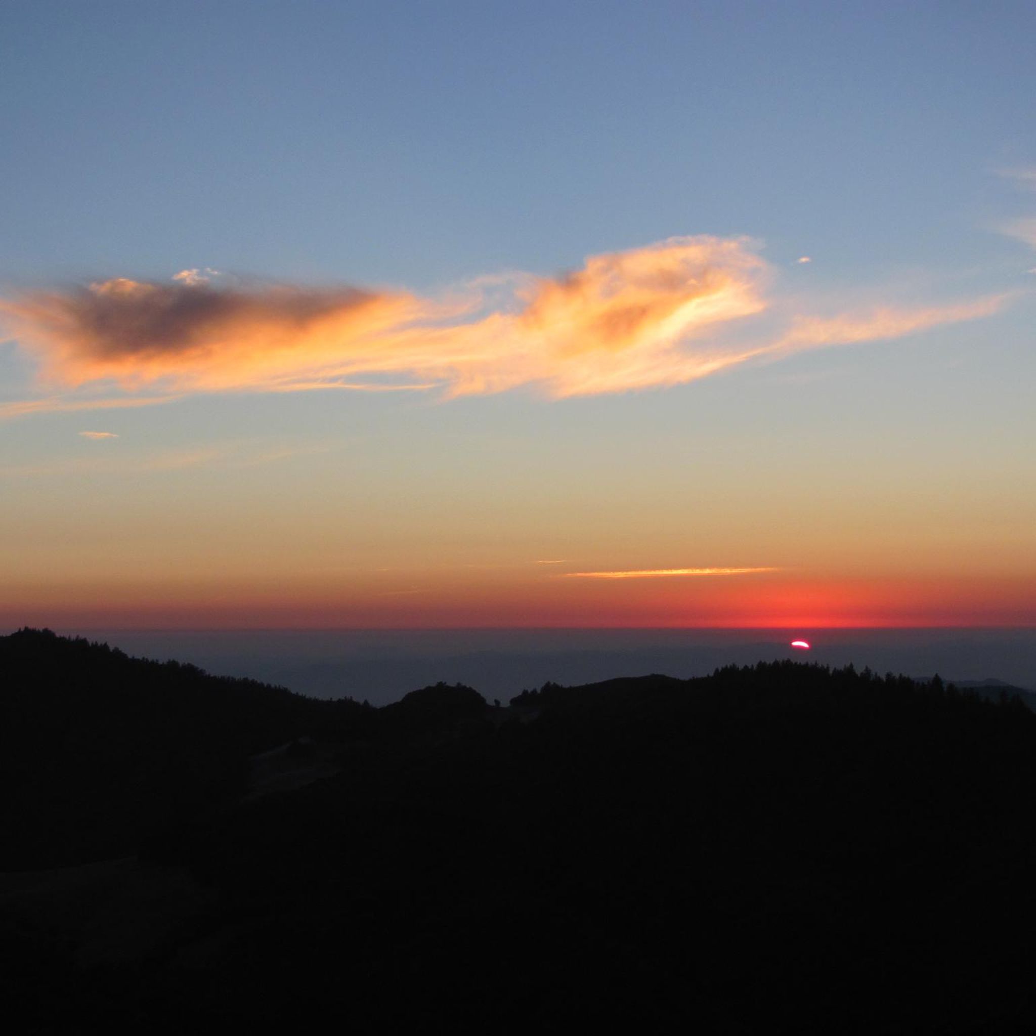
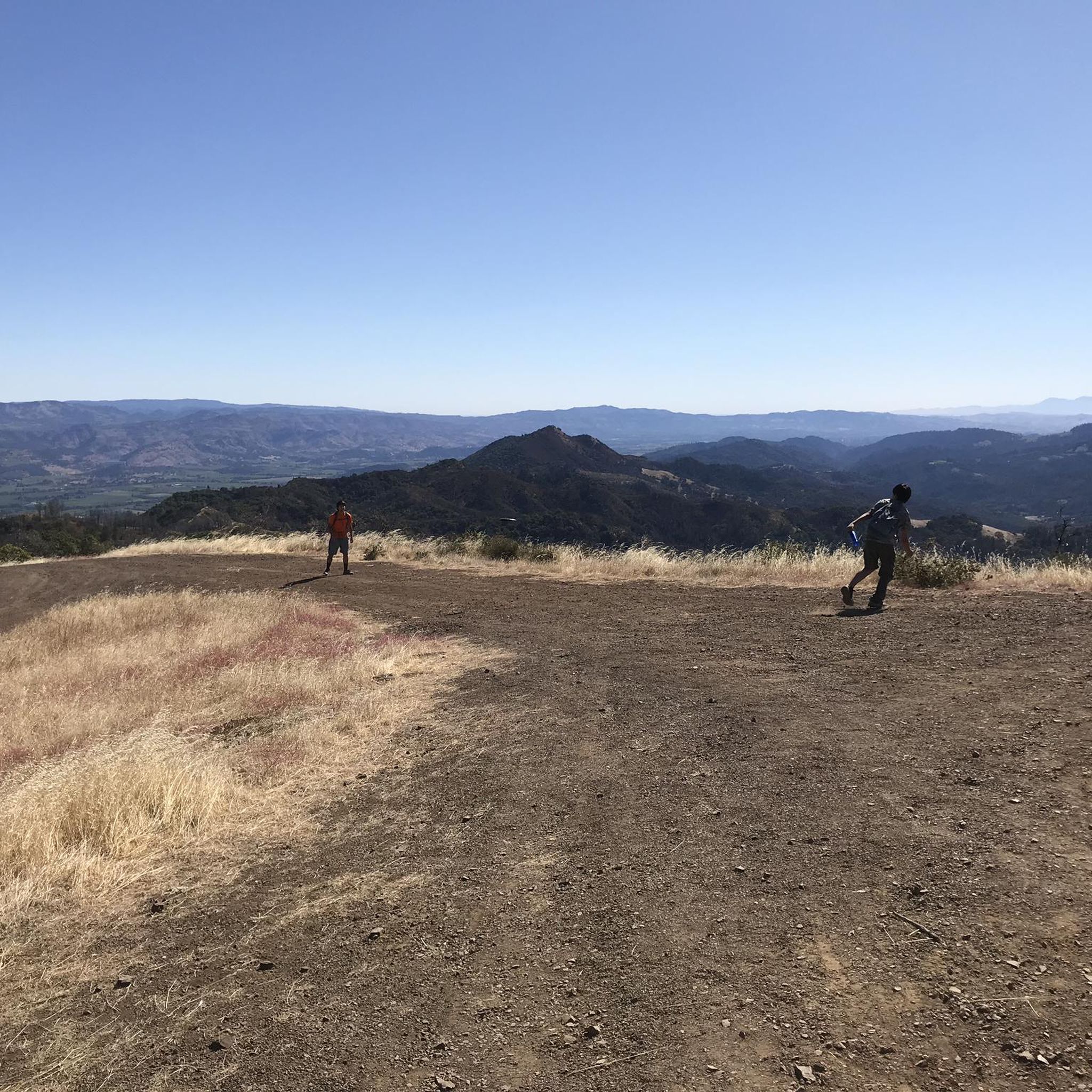
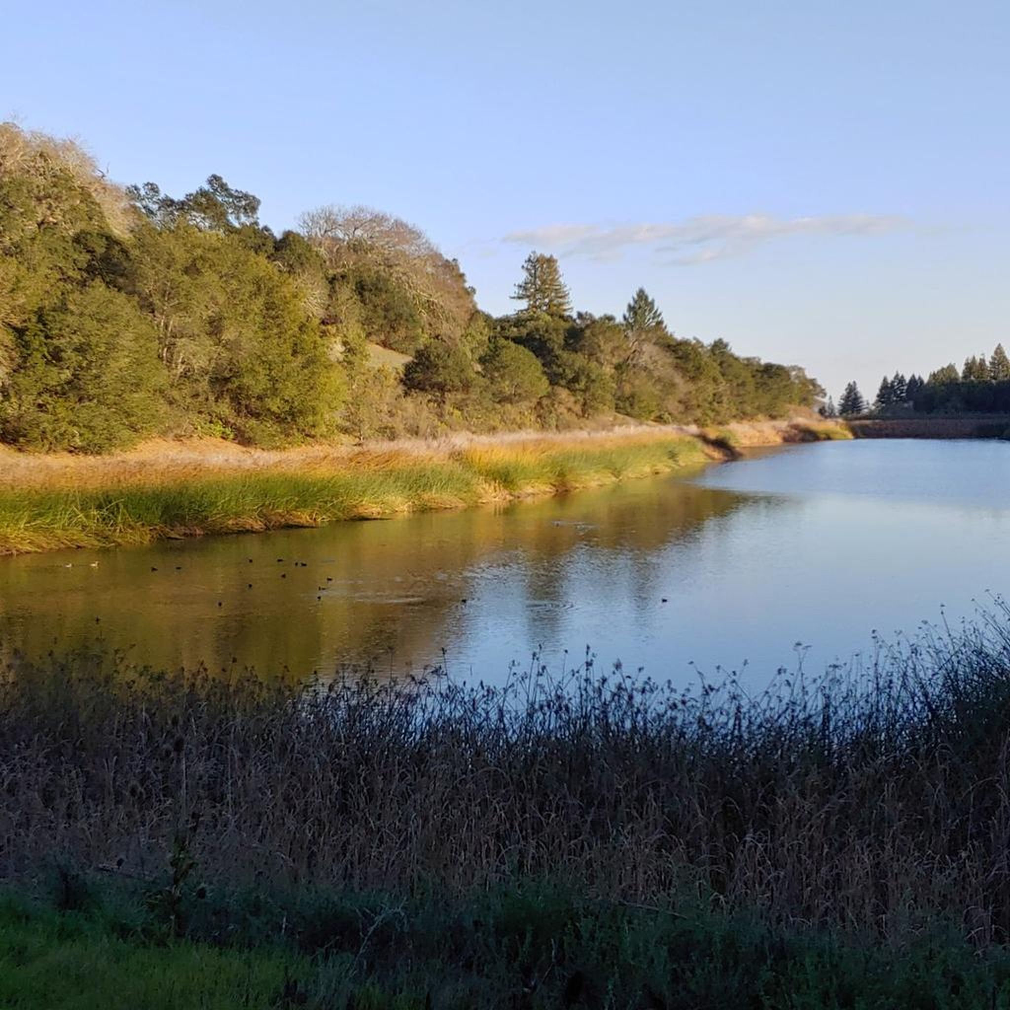
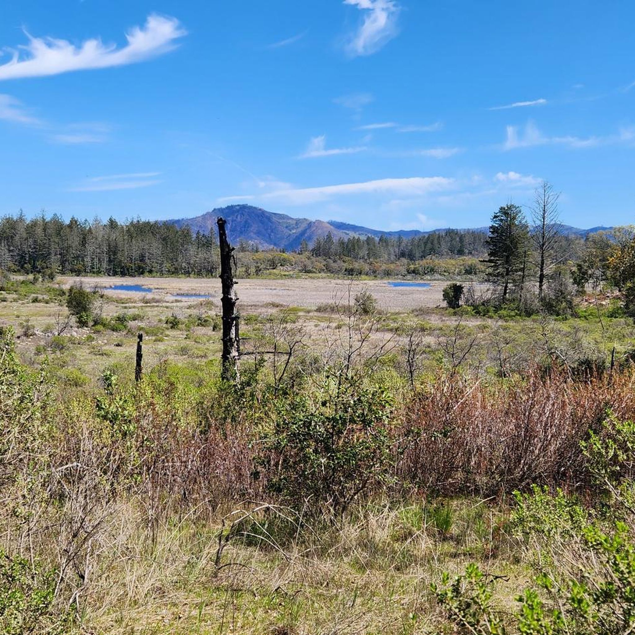
Other adventures in Sugarloaf Ridge State Park

Tips from the Community

Need to be in great physical shape to conquer this ride.
0
0

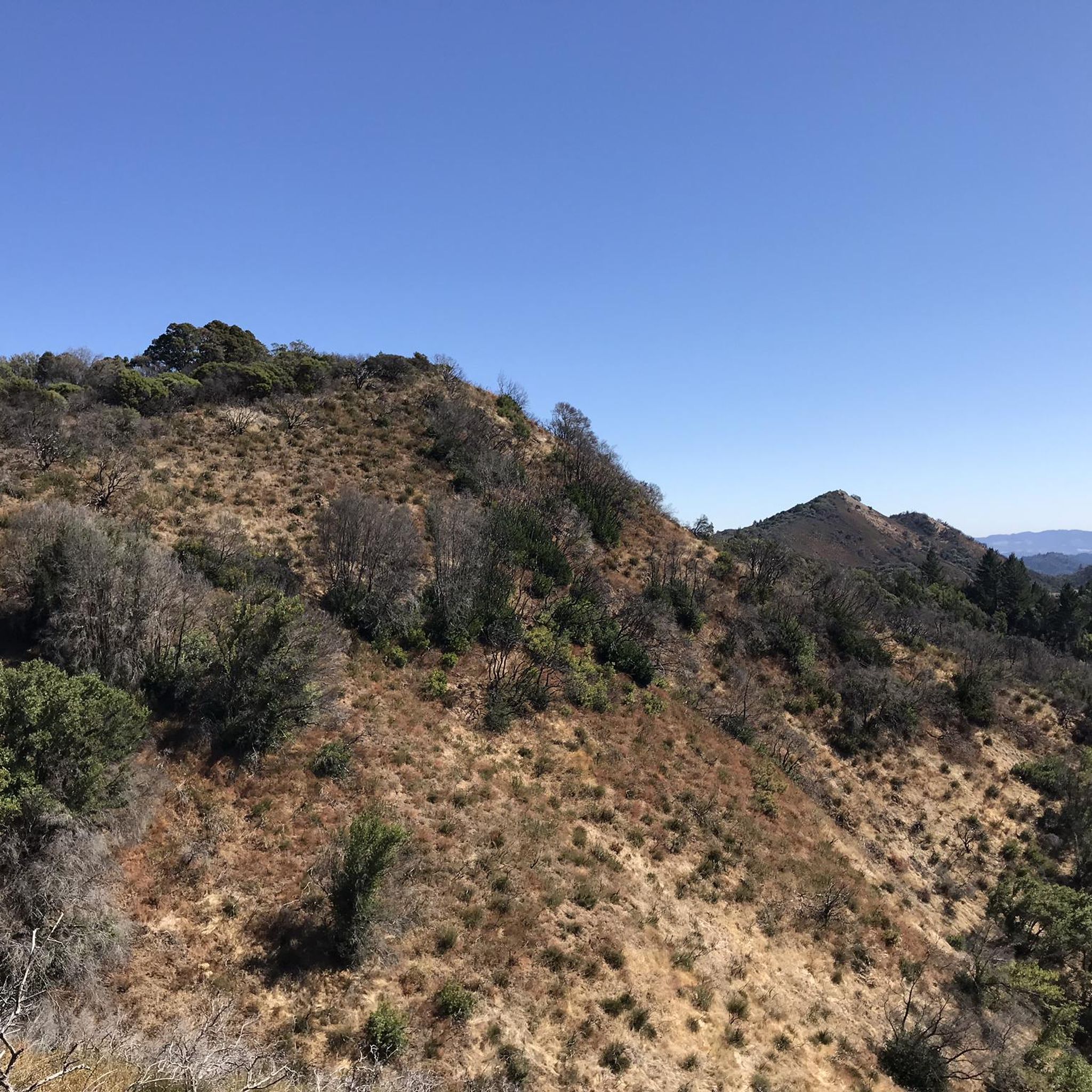
Bald Mountain is one of more than fifty peaks with this name in California. From here there is a beautiful view of the rolling mountains.
0
0

Situated at an elevation of 2550 feet, this summit provides a challenging ascent that includes switchbacks along the paved trail. However, the effort is rewarded with breathtaking views of the lush Sugar Loaf Ridge landscape and the rolling hills beyond.
0
0
Situated at an elevation of 2550 feet, this summit provides a challenging hike that includes switchbacks along the trail. However, the effort is rewarded with breathtaking views of the lush Sugar Loaf Ridge landscape and the rolling hills beyond.
0
0
ald Mountain is one of more than fifty peaks with this name in California. From here there is a beautiful view of the rolling mountains.
0
0

This small mountain is part of the Mayacamas mountain range. They are located in the middle of the Californian wine county. You get some nice views of the famous Napa Valley.
0
0

Ideally go up and follow the ridge path to the east in a clockwise direction. It offers a wonderful view of Napa Valley.
1
0
Frequently Asked Questions
What are the most prominent mountain peaks to explore in Sugarloaf Ridge State Park?
The most prominent peak is Bald Mountain, standing at 2,729 feet. It offers expansive panoramic views across the Sierra Nevada, San Francisco Bay, and the Pacific Ocean. Other notable peaks include the Red Mountain Summit, known for its challenging ascent and views of the Sugarloaf Ridge landscape, and the Brushy Peaks, which provide clear views of Napa Valley as part of a challenging loop trail.
What kind of views can I expect from Bald Mountain Summit?
From the summit of Bald Mountain on a clear day, you can enjoy breathtaking vistas. These include the Sierra Nevada to the East, the San Francisco Bay and Mount Diablo to the South, Mount Tamalpais to the Southwest, the Coastal Range and the Pacific Ocean to the West, and Mount Saint Helena to the North. The views encompass significant wine country peaks and valleys.
Are there challenging trails for experienced hikers in Sugarloaf Ridge State Park?
Yes, Sugarloaf Ridge State Park offers several challenging trails. The hike to Bald Mountain Summit is a strenuous 5.5-mile out-and-back with over 1,500 feet of elevation gain. For an even more demanding experience, consider the "Bald Mountain to Brushy Peaks Trail (The Big Loop)" which is an 8.2-mile route featuring steep dirt trails with a 40%+ grade, where hiking poles are recommended.
What are the options for loop trails around the mountain peaks?
You can find several loop options for hiking the peaks. For Bald Mountain, there's a 6.6-mile Bald Mountain Loop or a 7.4-mile Bald Mountain Summit Loop that includes the Red Mountain and Headwaters Trails. The Brushy Peaks are also part of a challenging loop trail. You can find more details on various loop trails, including the "Bald Mountain Loop" and "Brushy Peaks Loop," in the Hiking in Sugarloaf Ridge State Park guide.
How long does it take to hike Bald Mountain?
The challenging 5.5-mile out-and-back hike to the summit of Bald Mountain typically takes a few hours, depending on your pace and how long you spend enjoying the views at the top. It involves over 1,500 feet of elevation gain.
Are there any easy or family-friendly mountain hikes in the park?
While many trails in Sugarloaf Ridge State Park can be challenging, there are easier options available. For instance, the "Meadow Trail and Vista Trail Loop" is an easy 6.35 km hike. You can explore more gentle routes in the Easy hikes in Sugarloaf Ridge State Park guide.
What other outdoor activities can I do near the mountain peaks in Sugarloaf Ridge State Park?
Beyond hiking the peaks, Sugarloaf Ridge State Park offers various outdoor activities. You can explore numerous hiking trails of different difficulties, including those leading to Bald Mountain Summit and Red Mountain Summit. The park also features road cycling routes, such as the "Glen Ellen Village Market – Trinity Road loop." For more information on activities, check out the Hiking in Sugarloaf Ridge State Park and Road Cycling Routes in Sugarloaf Ridge State Park guides.
What is the best time of year to visit the mountain peaks in Sugarloaf Ridge State Park?
The park is generally pleasant for hiking in spring and fall when temperatures are milder. Spring brings wildflowers, while fall offers comfortable weather. Summer can be hot, especially on exposed trails, and winter may bring cooler temperatures and occasional rain. Always check weather conditions before your visit.
Are dogs allowed on the mountain trails in Sugarloaf Ridge State Park?
While the guide data doesn't specify dog-friendly trails for the mountain peaks, it's generally advisable to check the official park regulations regarding pets. State parks often have specific rules about where dogs are permitted, usually requiring them to be on a leash. For the most current information, please refer to the official California State Parks website for Sugarloaf Ridge State Park: parks.ca.gov.
What unique features can be found on the Sugarloaf Ridge peaks themselves?
The Sugarloaf Ridge has two main peaks. The higher northern peak, at 2,265 feet, features two panels that identify geographic features visible from that vantage point, along with a bench for visitors to rest and enjoy the scenery. The southern peak, at 1,939 feet, houses an extensive microwave antenna.
Where can I find parking for the mountain peak trails?
Parking for trails leading to the mountain peaks, including Bald Mountain Summit, is typically available near the Robert Ferguson Observatory within Sugarloaf Ridge State Park. It's always a good idea to arrive early, especially on weekends, as parking can fill up.
What makes Red Mountain Summit a challenging hike?
Red Mountain Summit, situated at an elevation of 2550 feet, provides a challenging ascent that includes switchbacks along the trail. The effort is rewarded with breathtaking views of the lush Sugarloaf Ridge landscape and the rolling hills beyond.
What should I wear when hiking the mountain trails in Sugarloaf Ridge State Park?
When hiking the mountain trails, especially those with significant elevation gain like Bald Mountain or the Brushy Peaks loop, it's recommended to wear sturdy hiking boots, layered clothing suitable for changing weather conditions, and bring plenty of water. For trails with steep grades, such as those around Brushy Peaks, hiking poles can be very helpful.
Most popular routes in Sugarloaf Ridge State Park
Most popular attractions in Sugarloaf Ridge State Park

Get inspired with the komoot mobile app


Explore more
See even more amazing summits in Sugarloaf Ridge State Park with these guides:
