The best running trails in Sugarloaf Ridge State Park
4.5
(2)
190
runners
36
runs
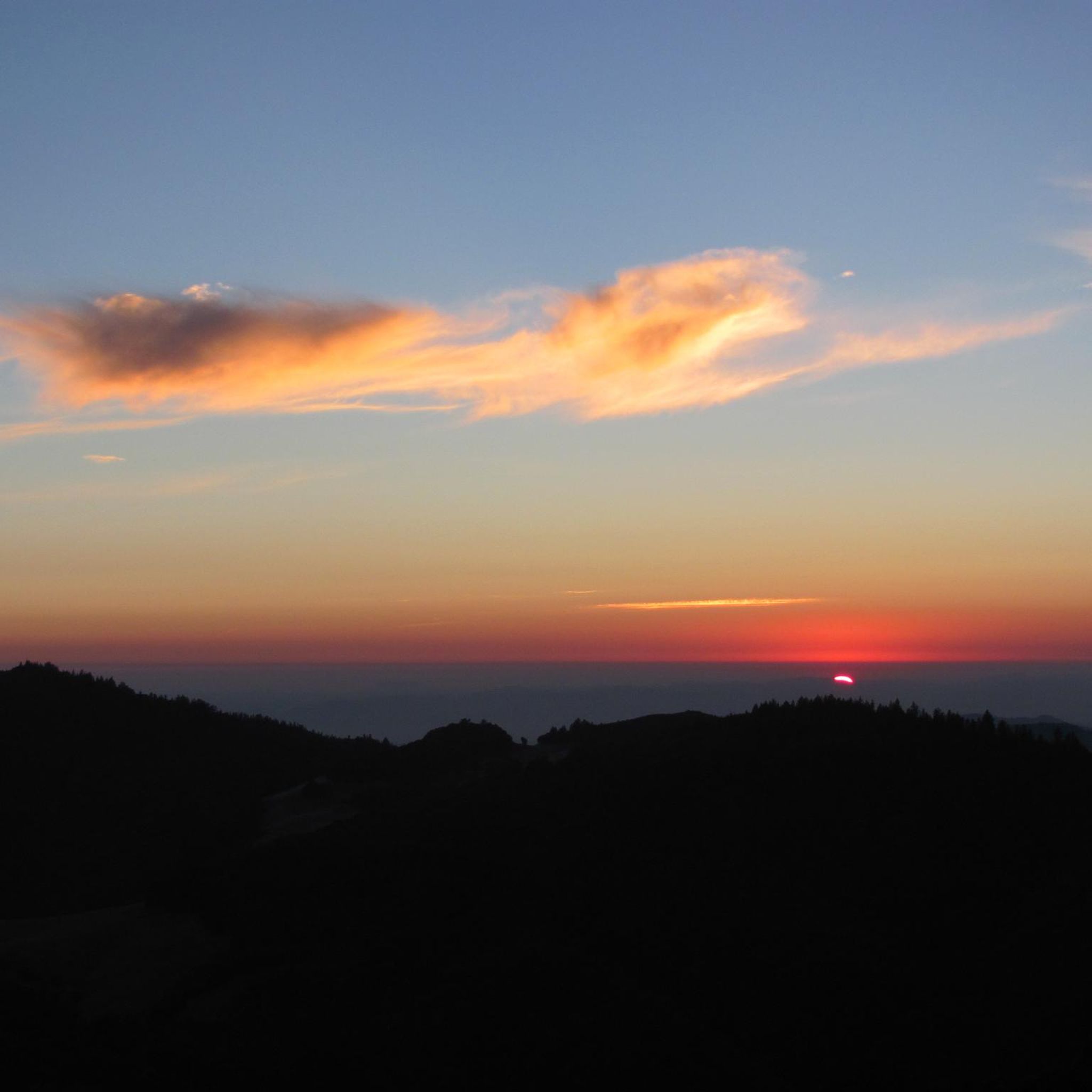
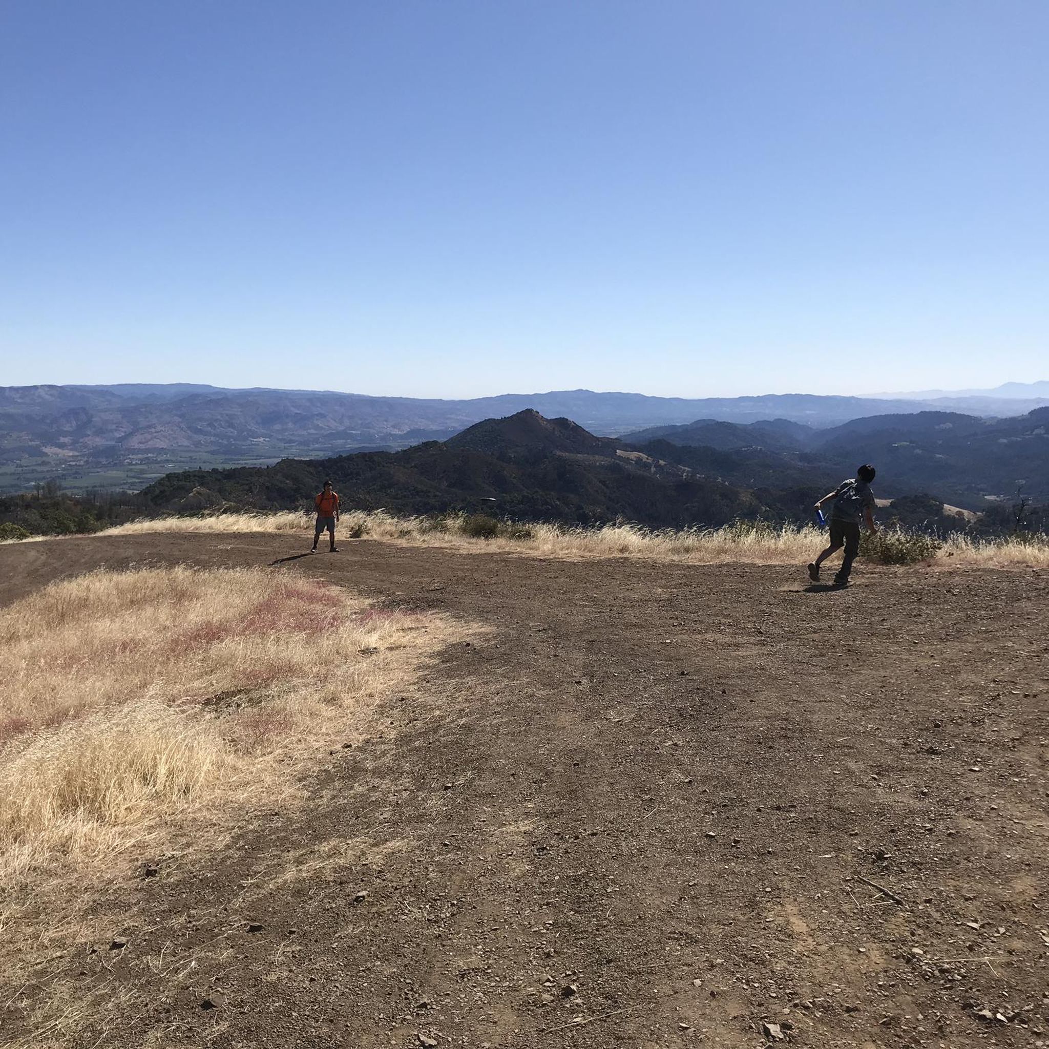
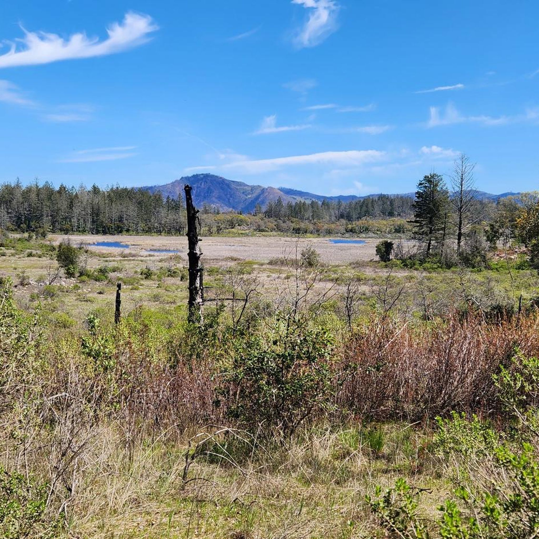
Jogging routes in Sugarloaf Ridge State Park traverse the Mayacamas Mountains, offering diverse landscapes for runners. The park features extensive trail systems winding through chaparral ridges, oak woodlands, and canyons. Runners can experience varied terrain, from rolling dirt hills to challenging ascents towards Bald Mountain. Sonoma Creek's headwaters also flow through the park, adding to the natural scenery.
Best jogging routes in Sugarloaf Ridge State Park
- The most popular jogging route is Bald Mountain Loop, a 7.4 miles (11.9…
Last updated: August 31, 2026
5
runners
11.9km
01:33
440m
440m
Jog the difficult 7.4-mile Bald Mountain Loop in Sugarloaf Ridge State Park for 1431 feet of elevation gain and 360-degree summit views.
6
runners
8.66km
01:10
440m
440m
Hard run. Very good fitness required. Mostly paved surfaces. Suitable for all skill levels.

Sign up for free
11
runners
9.83km
01:03
150m
150m
Moderate run. Good fitness required. Mostly paved surfaces. Suitable for all skill levels.
10
runners
27.8km
03:08
300m
300m
Hard run. Very good fitness required. Mostly paved surfaces. Suitable for all skill levels.
4
runners
5.26km
00:33
20m
20m
Moderate run. Good fitness required. Mostly paved surfaces. Suitable for all skill levels.
Get access to more routes and recommendations from other explorers.
Sign up for free
Already have an account?
Our route recommendations are based on thousands of hikes, rides, and runs completed by other people on komoot.
Start today with a free account
Your next adventure awaits.
Login or Signup

Other adventures in Sugarloaf Ridge State Park

Tips from the Community

Need to be in great physical shape to conquer this ride.
0
0

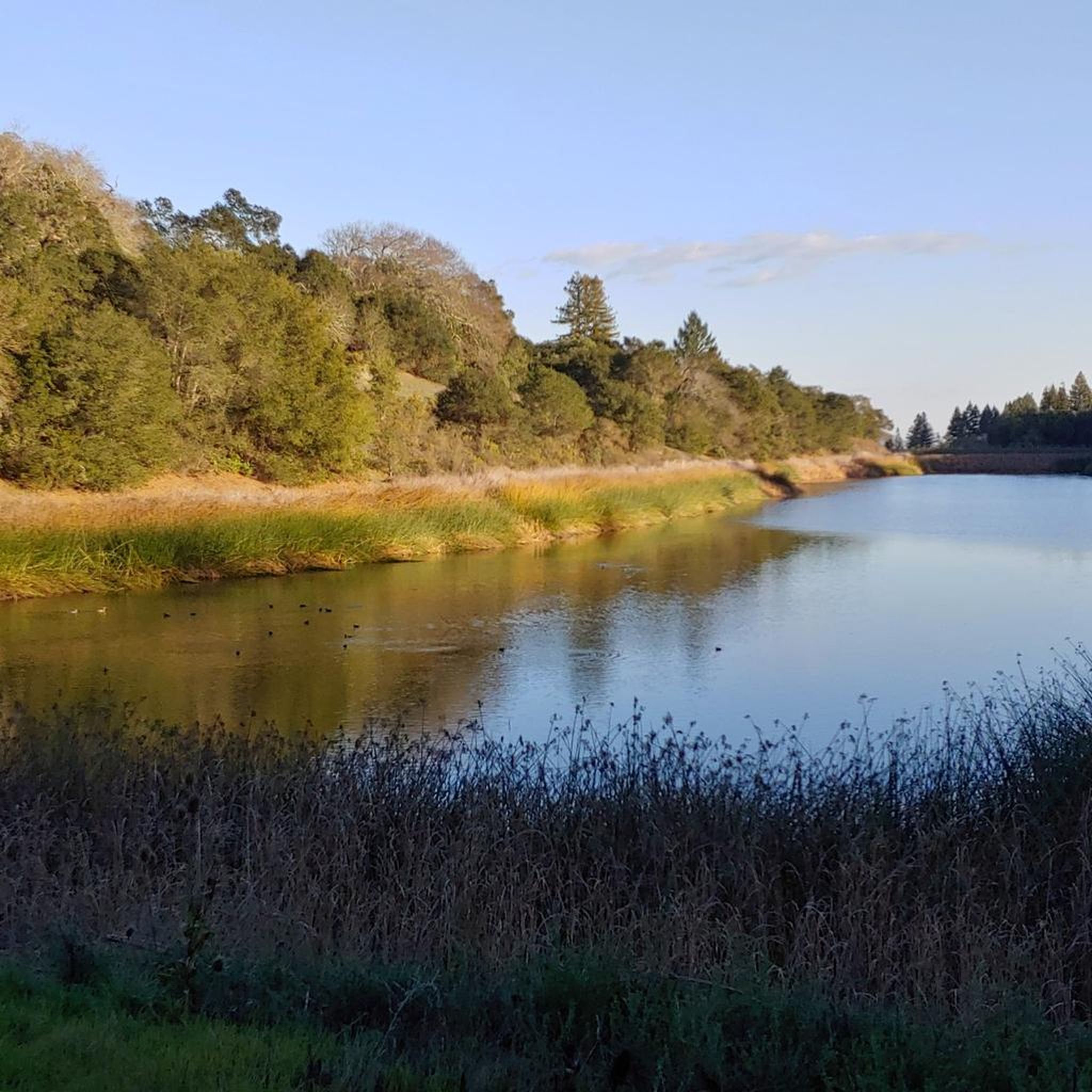
The Warren Richardson Trail is a gravel and dirt path that begins at the main entrance on the eastern side of the park. It ascends to the summit of the main ridge, then gently descends to the scenic Lake Ilsanjo, located near the park's center. It's one of the most scenic trails the park offers.
1
0

Bald Mountain is one of more than fifty peaks with this name in California. From here there is a beautiful view of the rolling mountains.
0
0

Leafy park along the west shore of the large Santa Rosa Creek Reservoir, with good running trails around the water and through the meadows and shaded groves
1
0
Shallow lake with wide sandy beach next to Spring Lake, with food concessions, showers
0
0
This beautiful trail passes through majestic oaks and ascends toward the Brushy Peaks. A very atmospheric trail: it looks like the setting of a TV series.
0
0
ald Mountain is one of more than fifty peaks with this name in California. From here there is a beautiful view of the rolling mountains.
0
0
Frequently Asked Questions
How many running routes are available in Sugarloaf Ridge State Park?
Sugarloaf Ridge State Park offers a wide selection of running routes, with over 30 different options to explore. These trails cater to various fitness levels, from moderate paths to more challenging ascents.
What kind of terrain can I expect on the running trails in Sugarloaf Ridge State Park?
The park features diverse terrain, including chaparral ridges, oak woodlands, gorges, and canyons. You'll find a mix of dirt roads and singletrack paths. Some sections are rugged with uneven surfaces, small hills, steep climbs, and roots, while others offer more even ground. The trails often involve significant elevation changes, especially on routes leading to Bald Mountain.
Are there any easy running routes for beginners in Sugarloaf Ridge State Park?
Yes, while many routes offer significant challenges, there are a few easier options. The park has 3 routes classified as easy, and 16 as moderate, providing good choices for those new to trail running or looking for a less strenuous experience. For example, the Running loop from thomann is a moderate 3.3-mile path with minimal elevation gain.
What are some notable landmarks or viewpoints I can see while running in the park?
Runners can enjoy several impressive landmarks and viewpoints. The Bald Mountain Summit offers panoramic views of the Napa and Sonoma Valleys, and on clear days, even the Sierra Nevada and Golden Gate Bridge. You can also discover the unique PlanetWalk on Meadow Trail, a scale model of the solar system, or explore the scenic Gray Pine Trail.
Can I bring my dog on the running trails in Sugarloaf Ridge State Park?
While dogs are permitted in picnic areas and campgrounds within Sugarloaf Ridge State Park, they are generally not allowed on the running trails. It's best to check the park's official regulations for any specific exceptions or updates before your visit.
Are there any circular running routes in Sugarloaf Ridge State Park?
Yes, many of the park's routes are designed as loops, offering a varied experience without retracing your steps. Popular options include the challenging Bald Mountain Loop and the Running loop from Kenwood, which takes you through oak woodlands.
When is the best time of year to go running in Sugarloaf Ridge State Park?
The park is beautiful year-round, but spring is particularly spectacular with vibrant wildflower displays. After winter rains, a 25-foot waterfall flows along Sonoma Creek, adding to the scenery. Summers can be warm, so early mornings are often preferred. Fall offers pleasant temperatures and changing foliage.
What do other runners enjoy most about the trails in Sugarloaf Ridge State Park?
The running routes in Sugarloaf Ridge State Park are highly rated by the komoot community, with an average score of 4.5 stars. Runners often praise the diverse landscapes, the challenging ascents to viewpoints like Bald Mountain, and the opportunity to experience varied ecosystems from chaparral to oak woodlands.
Is there a waterfall in Sugarloaf Ridge State Park?
Yes, after sufficient winter rains, a picturesque 25-foot waterfall flows along Sonoma Creek within the park. It's a beautiful natural feature to look out for during your run, particularly in the spring.
Are there any challenging running routes for experienced runners?
Absolutely. Sugarloaf Ridge State Park is known for its challenging routes, with 13 trails classified as difficult. These often involve significant elevation gains, such as the Bald Mountain loop from Montgomery Village, which features over 500 meters of ascent, providing a rewarding workout for seasoned runners.
What kind of wildlife might I encounter while running?
The park is home to diverse wildlife. You might spot deer, gray foxes, bobcats, and coyotes. Birdwatching is also popular. Remember to maintain a respectful distance and observe wildlife from afar.
Is there parking available for accessing the running trails?
Yes, Sugarloaf Ridge State Park provides parking facilities. For example, the Bald Mountain loop from Day Use Parking specifically starts from a designated parking area, making it convenient for runners to access the trails.
Most popular routes in Sugarloaf Ridge State Park
Most popular attractions in Sugarloaf Ridge State Park

Get inspired with the komoot mobile app


Explore more
Browse the best Running Trails & Routes in other regions.
