The best walks and hikes in Salt Point State Park
4.7
(5)
66
hikers
11
hikes
Hiking in Salt Point State Park offers diverse terrain along California's Sonoma coast. The park features over 6 miles of rugged coastline with sandstone cliffs and unique geological formations like tafoni. Inland, the landscape transitions to mixed evergreen forests, grasslands, and a distinctive pygmy forest at higher elevations. This varied environment provides a range of hiking experiences from coastal bluffs to forested hills.
Best hiking trails in Salt Point State Park
- The most popular hiking route is Bluff Trail Loop — Salt Point State Park, a 4.7 miles (7.6 km) trail that takes 1 hour 59 minutes to complete. This easy route offers expansive views of the Pacific Ocean from the coastal bluffs.
- Another top favourite among local hikers is Gerstle Cove Marine Reserve – Salt Point Rock Formations loop from Salt Point State Park, an easy 3.7 miles (5.9 km) path. This trail explores the marine reserve area, known for its tide pools and rock formations.
- Local hikers also love the Salt Point Rock Formations – Stump Beach - Bluff Trail loop from Sea Ranch, a 8.1 miles (13.1 km) trail leading through coastal bluffs and past unique rock formations, often completed in about 3 hours 49 minutes.
- Hiking in Salt Point State Park is defined by rugged coastline, diverse forests, and unique pygmy forests, offering varied scenery. The network provides options for different ability levels, from easy coastal strolls to moderate inland climbs.
- The routes in Salt Point State Park are highly rated by the komoot community with an average score of 4.7 stars from over a few reviews. More than dozens of hikers have used komoot to explore Salt Point State Park's varied terrain.
Last updated: July 8, 2026
7
hikers
13.7km
03:57
350m
330m
Moderate hike. Good fitness required. Easily-accessible paths. Suitable for all skill levels.
3
hikers
7.02km
02:06
220m
230m
Moderate hike. Good fitness required. Easily-accessible paths. Suitable for all skill levels.

Sign up for free
1
hikers
7.07km
02:02
230m
50m
Moderate hike. Good fitness required. Easily-accessible paths. Suitable for all skill levels.
7.61km
02:00
60m
60m
Easy hike. Great for any fitness level. Easily-accessible paths. Suitable for all skill levels.
27
hikers
Easy hike. Great for any fitness level. Easily-accessible paths. Suitable for all skill levels.
Get access to more routes and recommendations from other explorers.
Sign up for free
Already have an account?
Our route recommendations are based on thousands of hikes, rides, and runs completed by other people on komoot.
Start today with a free account
Your next adventure awaits.
Login or Signup
Popular around Salt Point State Park
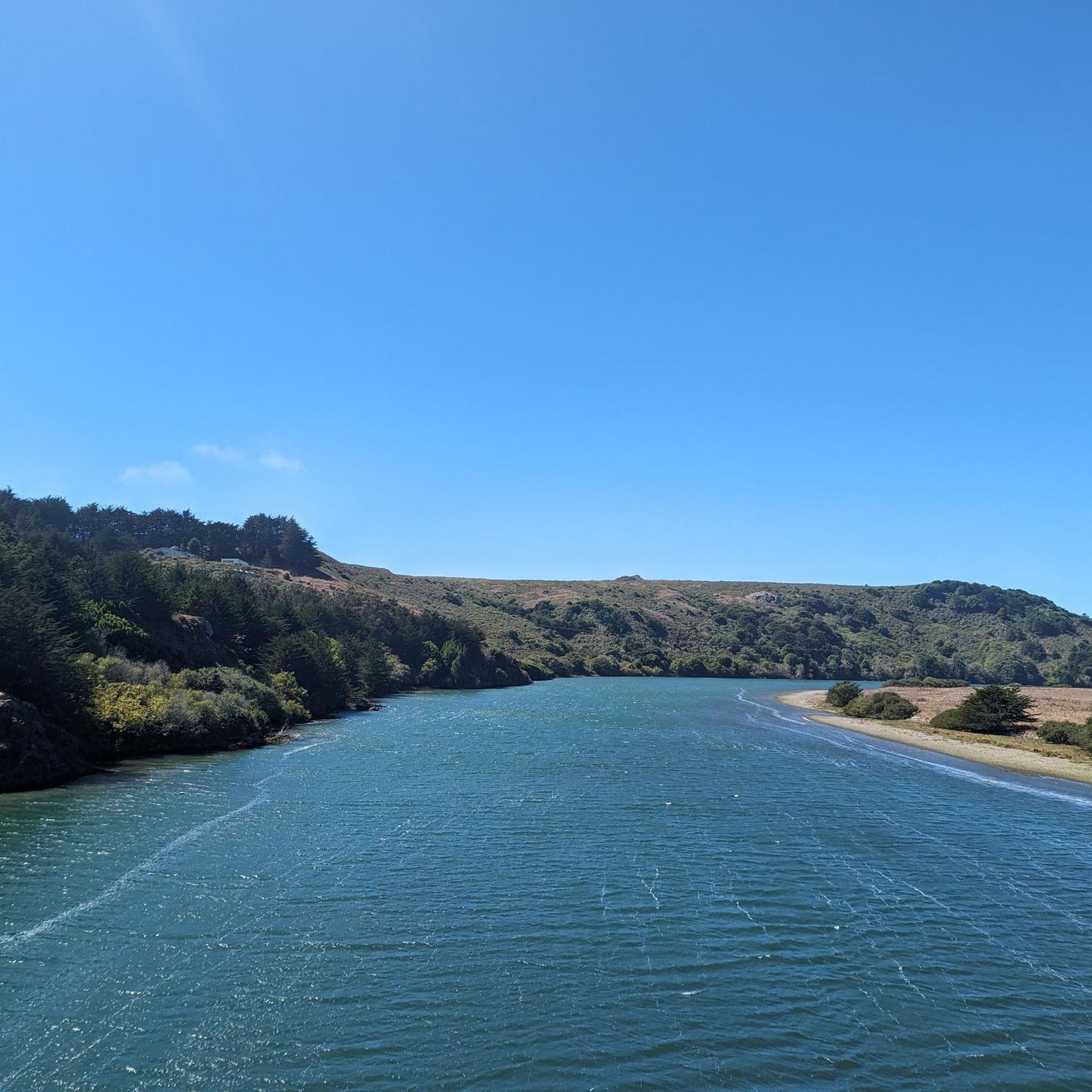
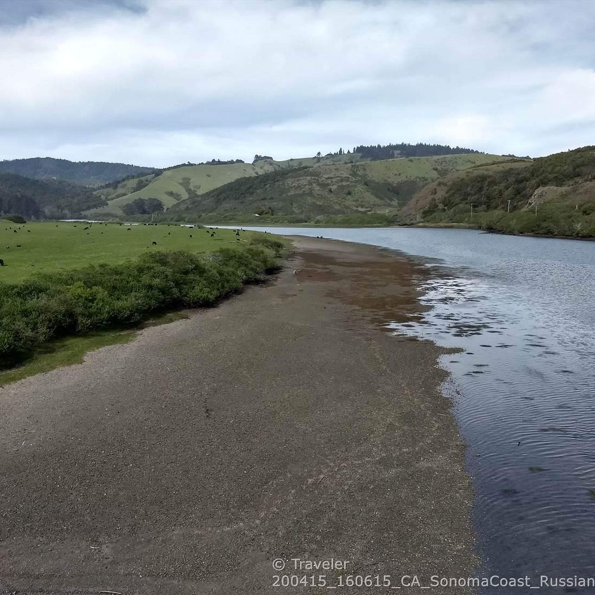
Tips from the Community

Atop the cliff walls is the Salt Point Trail, which winds along the grassy mesa offering views out over the water. Be mindful while biking here, since it's the most popular spot in the park for hiking and viewing the beaches and water. You can leave your bike momentarily to walk closer to the edge, but make sure to stick to the main path while on your wheels.
0
0
Atop the cliff walls is the Salt Point Trail, which winds along the grassy mesa offering views out over the water. Be mindful while biking here, since it's the most popular spot in the park for hiking and viewing the beaches and water. You can leave your bike momentarily to walk closer to the edge, but make sure to stick to the main path while on your wheels.
0
0
With rocky cliffs as a backdrop, Stump Beach is a sandy cove overlooking the ocean in Salt Point State Park. The beach is at a major trail intersection and is hard to miss. You get a pretty cool perspective of the beach from up on top of the overhang area.
0
0

From here you can enjoy a beautiful view of Fisk Mill Cove and the ocean.
0
0
Salt point is located on the Sonoma coast. Be careful, because the waves can be quite big, so it can be dangerous here.
0
0

Salt point is located on the Sonoma coast. The sea can be dangerous here. Be extremely cautious, because the waves can be quite big especially in winter.
1
0

Sandy beach along a gorgeous deep cove in Salt Point State Park, surrounded by a rocky overhanging bluff on all sides except where Miller Creek descends down to the beach from the south. From the parking lot right off Highway 1 a trail to the ocean level is getting steeper at the end, where stairs lead down to the beach.
1
0
Salt Point trail passes to this nice overlook at the south end of a sandy cove
1
0
Frequently Asked Questions
How many hiking trails are available in Salt Point State Park?
Salt Point State Park features a network of over 20 miles of hiking trails. On komoot, you can find 7 distinct routes, offering a variety of experiences from coastal bluffs to forested inland areas.
Are there easy hiking trails suitable for families in Salt Point State Park?
Yes, Salt Point State Park offers several easy trails perfect for families. Four of the routes on komoot are rated as easy, such as the Mushroom Central 🍄 – Unmapped Chinese Gulch trail loop, which is just over 2.5 miles long. These trails often provide gentle terrain and scenic views without significant elevation changes.
What unique natural features can I expect to see while hiking in Salt Point State Park?
The park is renowned for its diverse natural features. You can explore unique geological formations like 'tafoni' – honeycomb-like patterns carved into sandstone – along the rugged coastline. Inland, discover a distinctive pygmy forest where stunted trees grow due to nutrient-poor soil, and vibrant rhododendron blooms in spring at the adjacent Kruse Rhododendron State Natural Reserve.
Are dogs allowed on the hiking trails in Salt Point State Park?
Dogs are generally permitted in Salt Point State Park, but specific rules apply. They must be on a leash no longer than six feet and are typically allowed on paved roads, in campgrounds, and on some designated trails. It's always best to check the official park regulations upon arrival or on the California State Parks website for the most current information regarding trail access for dogs.
What is the best time of year to go hiking in Salt Point State Park?
Salt Point State Park offers enjoyable hiking year-round due to its mild coastal climate. Spring (late April) is particularly beautiful when the rhododendrons are in bloom at the adjacent Kruse Rhododendron State Natural Reserve. Fall and winter can offer dramatic coastal views with fewer crowds, while summer provides pleasant temperatures for exploring the bluffs and forests.
Are there any loop trails in Salt Point State Park?
Yes, Salt Point State Park features several excellent loop trails. For instance, the Salt Point Rock Formations – Gerstle Cove Marine Reserve loop offers a moderate 7.9-mile experience, allowing you to explore both the dramatic coastline and the protected marine reserve without retracing your steps.
What kind of wildlife might I encounter on the trails?
Salt Point State Park is home to a variety of wildlife. Hikers often spot black-tailed deer, raccoons, and various bird species such as pelicans, ospreys, and woodpeckers. Keep an eye out for marine life in the tide pools at Gerstle Cove Marine Reserve. Occasionally, bobcats, coyotes, and even mountain lions are sighted, though less commonly.
What are the parking options for hikers in Salt Point State Park?
Salt Point State Park provides several parking areas and trailheads throughout the park. Popular starting points include the main parking lots near Gerstle Cove and Fisk Mill Cove, which offer convenient access to coastal and inland trails. There is a day-use fee to enter the park, which covers parking.
What do other hikers enjoy most about Salt Point State Park?
The hiking experiences in Salt Point State Park are highly rated by the komoot community, with an average score of 4.7 stars. Reviewers frequently praise the park's dramatic coastal views, the unique geological formations, and the diverse transition from rugged bluffs to serene redwood and pygmy forests.
Are there any viewpoints or scenic overlooks in the park?
Absolutely. The park's rugged coastline is dotted with stunning viewpoints. The bluff-top trails, such as the walk from the north lot to Sentinel Rock, offer sweeping panoramic views of the Pacific Ocean. Fisk Mill Cove Overlook is another popular spot for breathtaking coastal vistas.
Can I explore tide pools in Salt Point State Park?
Yes, Salt Point State Park is an excellent location for exploring tide pools. Gerstle Cove Marine Reserve is particularly known for its rich marine life and accessible tide pools, offering a chance to observe delicate residents when the tide is low.
What kind of terrain should I expect on the trails?
The terrain in Salt Point State Park is quite varied. You'll find relatively flat, easy paths along the coastal bluffs, offering expansive ocean views. Inland trails transition to mixed evergreen forests with some moderate climbs, and the unique pygmy forest area presents a different, more open woodland experience. Trails are generally well-maintained but can be uneven in places, especially closer to the rugged coastline.
Most popular routes in Salt Point State Park
Most popular attractions in Salt Point State Park

Get inspired with the komoot mobile app


Explore more
Browse the best Hikes in other regions.
