The best road cycling routes in High Peaks Wilderness
5.0
(7)
1,432
riders
13
rides
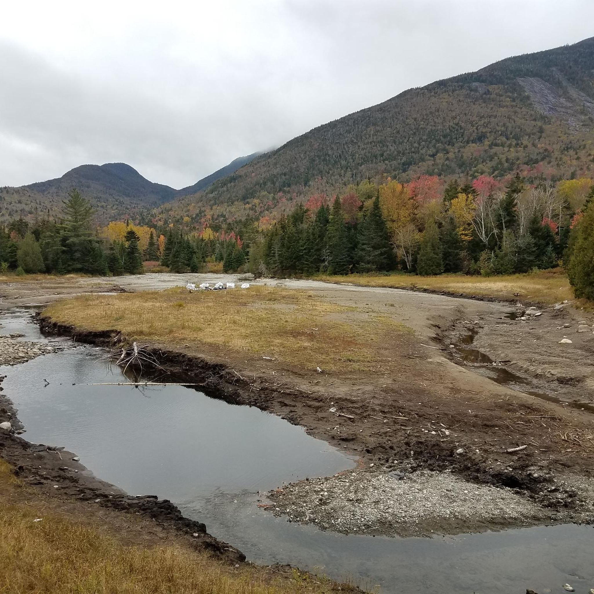
Road cycling in High Peaks Wilderness offers a challenging and scenic experience across its diverse landscapes. The region is characterized by impressive mountainous terrain, including New York State's highest peaks, and features significant elevation changes. Crystal-clear streams, numerous lakes, and granite cliffs shaped by glacial activity define the environment. Well-paved roads traverse the periphery, providing access to these natural features and panoramic views for road cyclists.
Best road cycling routes in High Peaks Wilderness
- The most popular road cycling route…
Last updated: May 17, 2026
169
riders
55.5km
02:49
890m
890m
Moderate road ride. Good fitness required. Mostly well-paved surfaces and easy to ride.
5.0
(2)
143
riders
93.6km
04:54
1,640m
1,640m
Hard road ride. Very good fitness required. Mostly well-paved surfaces and easy to ride.

Sign up for free
28
riders
34.6km
01:40
420m
420m
Moderate road ride. Good fitness required. Mostly well-paved surfaces and easy to ride.
20
riders
71.5km
03:16
760m
760m
Moderate road ride. Good fitness required. Mostly well-paved surfaces and easy to ride.
12
riders
41.7km
02:06
510m
510m
Moderate road ride. Good fitness required. Some segments of this route may be unpaved and difficult to ride.
Get access to more routes and recommendations from other explorers.
Sign up for free
Already have an account?
Our route recommendations are based on thousands of hikes, rides, and runs completed by other people on komoot.
Start today with a free account
Your next adventure awaits.
Login or Signup
Other adventures in High Peaks Wilderness

Tips from the Community


Moody Pond is a serene 25-acre body of water at the foot of Baker Mountain and just east of Saranac Lake. There is a flat gravel path that loops around the banks of the lake.
0
0

Cycling along Franklin Falls Road offers scenic views of Franklin Falls Pond, a 439-acre water body created by damming the Saranac River in the Adirondack Mountains. Spanning 2.7 miles in length, the pond is a highlight along the 740-mile Northern Forest Canoe Trail, starting from Old Forge, NY, and ending in Fort Kent, ME.
0
0

Flume Falls is a dramatic waterfall that you can see right from the road. It's definitely worth stopping your ride to grab a photo! Although there is a shoulder, it's a little narrow and drivers are also sure to be looking at the falls, so use caution when pulling over.
0
0

You can complete a full loop around this peaceful pond by cycling along Forest Hill Avenue and East Pine Street. Additionally, at the northern end of the pond is the Baker Mountain Trailhead. However, to reach this beautiful peak, you'll need to do it without the bike.
0
0

Nestled in the Adirondack Mountains, Franklin Falls Pond is a calm and inviting spot in New York. Surrounded by lush greenery and serene waters, it's a peaceful getaway for those wanting a break in nature.
0
0

Whiteface Mountain is actually amazing. At the end of the Memorial Highway there is a car park, restaurant and a gift shop, there is even a granite built castle. When you get there you will need to find somewhere to park and lock your bike. Then if you have the time why not go up to the actual summit. You can either do it quickly in the elevator (yes there is one) or you have the option to walk the hand-railed Nature Trail, both options are good. Failing that you could just have a good break here at the summit parking area and just enjoy the glorious vistas.
0
0
Frequently Asked Questions
How many road cycling routes are available in High Peaks Wilderness?
There are over 15 road cycling routes in the High Peaks Wilderness area, offering diverse experiences for cyclists. These routes are rated by the komoot community with an average score of 5.0 stars, indicating a high level of satisfaction among users.
What are the typical difficulty levels for road cycling in High Peaks Wilderness?
Road cycling in High Peaks Wilderness offers a range of difficulties. You'll find a good mix of routes, with 9 classified as moderate and 8 as difficult. The terrain is characterized by significant elevation changes and mountainous landscapes, providing challenging ascents and rewarding descents.
Are there any road cycling routes that feature waterfalls or scenic lakes?
Yes, several routes offer stunning natural features. For instance, the Flume Falls – Whiteface Mountain Toll House loop includes views of Flume Falls directly from the road. The region is also home to 112 lakes and ponds, and routes like the Upper Cascade Lake – Lake Placid Public Beach loop traverse areas with picturesque lakes, including the notable Avalanche Lake (Avalanche Lake).
What kind of landmarks or viewpoints can I expect to see along the road cycling routes?
The High Peaks Wilderness is rich with natural landmarks and viewpoints. Cyclists can enjoy panoramic views of the High Peaks, Lake Placid, and Lake Champlain from spots like Cascade Mountain Summit (Cascade Mountain Summit). Other notable features include Marcy Dam (Marcy Dam), a popular resting spot, and the impressive Mount Marcy (Mount Marcy), New York State's highest point.
Are there any family-friendly road cycling options in High Peaks Wilderness?
While many routes in High Peaks Wilderness involve significant elevation and are geared towards more experienced cyclists, some moderate options might be suitable for families with good fitness levels. For example, the Upper Cascade Lake – Lake Placid Public Beach loop is a moderate 35.2 km ride that leads through scenic lake areas, often completed in under two hours.
What is the best time of year for road cycling in High Peaks Wilderness?
The High Peaks Wilderness offers a challenging and scenic experience, primarily along its well-paved roads. While specific seasonal recommendations for road cycling aren't provided, the region's mountainous terrain suggests that late spring, summer, and early autumn would generally offer the most favorable weather conditions, avoiding snow and ice. Always check local weather forecasts before heading out.
Are there any loop routes for road cycling in the area?
Yes, many of the road cycling routes in High Peaks Wilderness are designed as loops, allowing you to start and end at the same point. Examples include the Flume Falls – Whiteface Mountain Toll House loop, the Whiteface Mountain Summit – Whiteface Mountain Toll House loop, and the Mirror Lake Drive – Flume Falls loop.
What are some longer, more challenging road cycling routes for advanced riders?
For advanced riders seeking a significant challenge, the High Peaks Wilderness offers routes with substantial elevation gain. The Whiteface Mountain Summit – Whiteface Mountain Toll House loop is a difficult 92.4 km path with over 1,600 meters of elevation gain, leading towards views of Whiteface Mountain. These routes provide a hard-earned reward with panoramic vistas.
Where can I find parking for road cycling routes in High Peaks Wilderness?
Many road cycling routes in the High Peaks Wilderness start from designated parking areas. For example, the Whiteface Mountain Summit – Whiteface Mountain Toll House loop begins from the Northville - Lake Placid Trail Parking Area. Other routes, like the Adirondack Rail Trail Parking – Connery Pond loop, also indicate specific parking locations in their starting points.
What kind of wildlife might I encounter while road cycling?
The High Peaks Wilderness supports a variety of wildlife. While cycling on roads, you might spot moose, black bears, and diverse bird species. The unique alpine plant communities, relics from the last ice age, also provide habitat for species like mountain sandwort and bearberry willow.
Are there any specific road segments known for particularly scenic views?
Yes, the region is renowned for its scenic beauty. Cycling along roads like Franklin Falls Road provides scenic views of Franklin Falls Pond. The roads bordering the wilderness often offer quiet routes with smooth pavement and access to stunning High Peaks vistas, making for excellent road cycling experiences.
What is the average length of road cycling routes in High Peaks Wilderness?
The lengths of road cycling routes in High Peaks Wilderness vary significantly. You'll find routes ranging from moderate 35 km rides, like the Upper Cascade Lake – Lake Placid Public Beach loop, to more challenging 92 km paths such as the Whiteface Mountain Summit – Whiteface Mountain Toll House loop. This variety ensures options for different fitness levels and time commitments.
Most popular routes in High Peaks Wilderness
Most popular attractions in High Peaks Wilderness

Get inspired with the komoot mobile app


Explore more
Browse the best Road cycling routes in other regions.
