Capital Springs State Recreation Area- E-Way Unit
Capital Springs State Recreation Area- E-Way Unit
The best road cycling routes in Capital Springs State Recreation Area- E-Way Unit
4.5
(137)
3,941
riders
206
rides
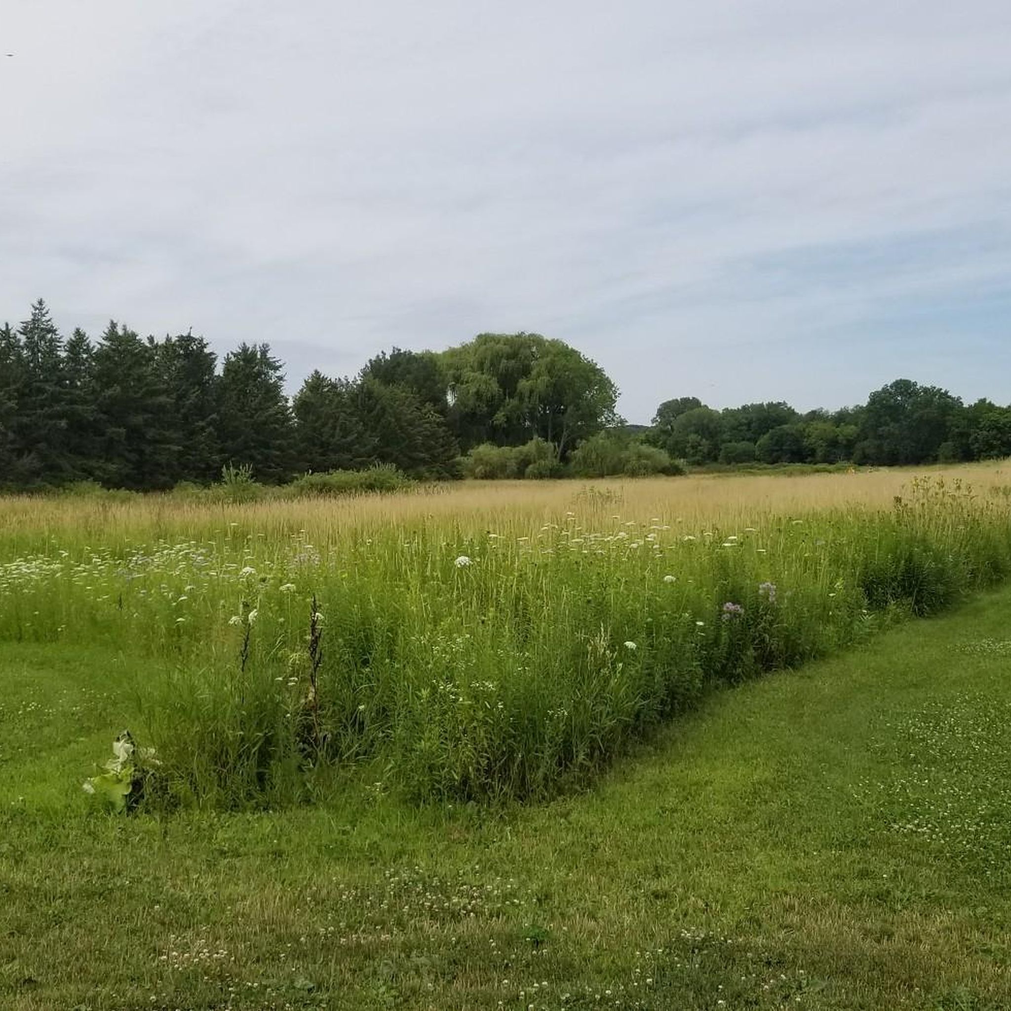
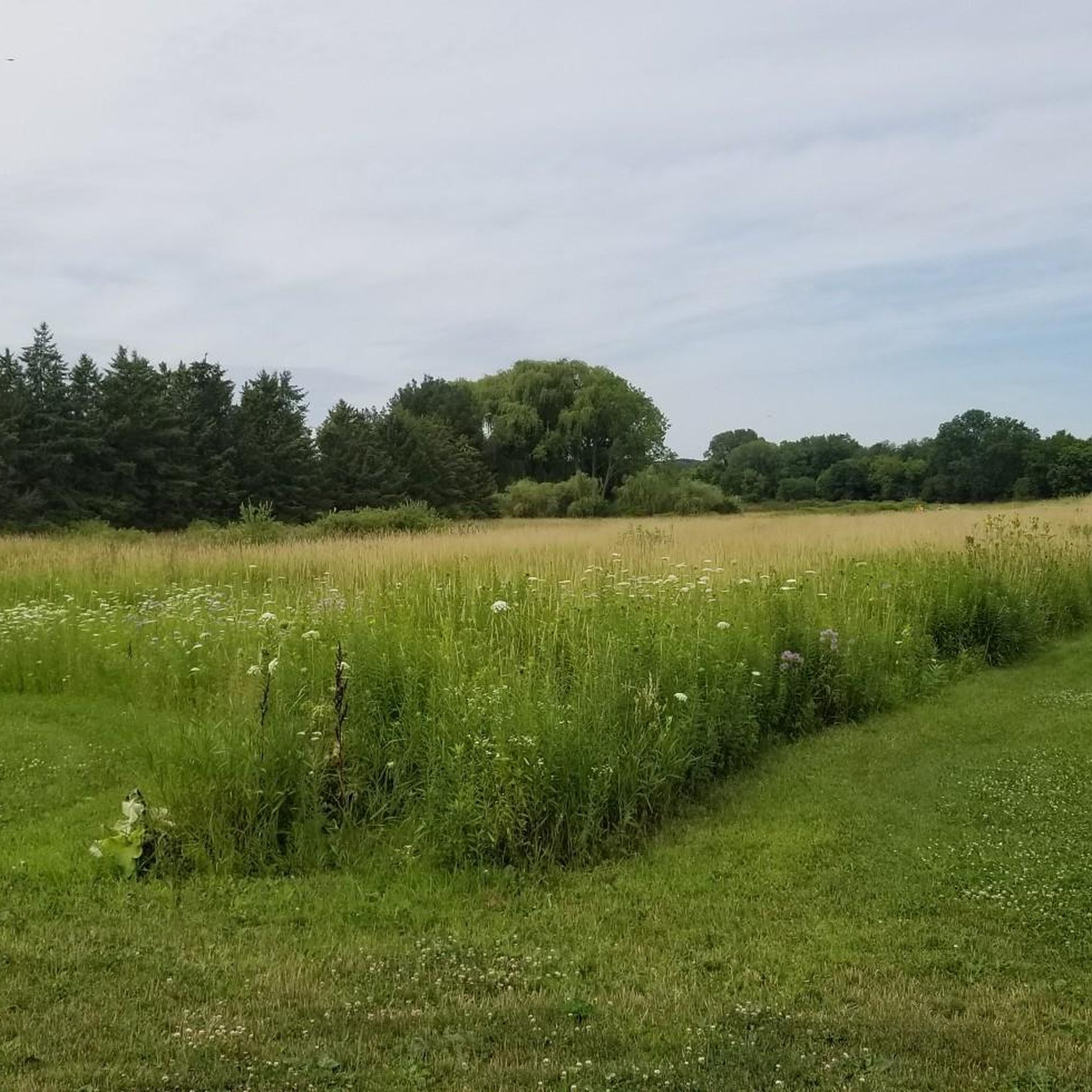
Road cycling routes in Capital Springs State Recreation Area- E-Way Unit primarily utilize well-maintained, paved multi-use paths, notably the Capital City State Trail. The terrain features diverse ecosystems, including extensive sedge meadows, woodlands, and marshes fed by numerous large springs. Glacial drumlins add geological interest to the landscape, which also includes areas of prairie restoration and mature oak woodlands.
Best road cycling routes in Capital Springs State Recreation Area- E-Way Unit
- The most popular road cycling route is Monona Terrace…
Last updated: July 2, 2026
4.0
(4)
84
riders
Moderate road ride. Good fitness required. Mostly well-paved surfaces and easy to ride.
3.0
(1)
8
riders
This extensive road cycling loop offers a deep dive into the diverse landscapes surrounding Fitchburg and Verona, Wisconsin. You'll pedal through the restored prairies, woodlands, and wetlands of the Capital…

Sign up for free
5
riders
73.9km
03:22
490m
490m
Moderate road ride. Good fitness required. Mostly well-paved surfaces and easy to ride.
5.0
(1)
21
riders
31.2km
01:21
170m
170m
Easy road ride. Great for any fitness level. Mostly well-paved surfaces and easy to ride.
4.8
(6)
18
riders
13.6km
00:33
40m
40m
Easy road ride. Great for any fitness level. Mostly well-paved surfaces and easy to ride.
Get access to more routes and recommendations from other explorers.
Sign up for free
Already have an account?
Our route recommendations are based on thousands of hikes, rides, and runs completed by other people on komoot.
Start today with a free account
Your next adventure awaits.
Login or Signup
Popular around Capital Springs State Recreation Area- E-Way Unit

Tips from the Community

Nice resting point. Great views. Directly off path. Plenty of benches.
0
0

The first bike counter I saw was in Oklahoma City. This one has a cool meter to it.
1
0

The Capital City State Trail is a paved trail that travels for over nine miles through Capital Springs State Recreation Area (Dane County E-way) and connects with other trails in and around Madison.
0
0

Dawley Conservancy Park is beautiful, covering 42 acres of woodlands, prairies, and wetlands. There are walking trails, abundant wildlife, and active conservation efforts aimed at restoring native plant communities. The park also connects to the Capital City State Trail, making it a scenic hub for local cyclists.
0
0
The E-Way Unit of Capital Springs State Recreation Area features 625 acres of wetlands, prairies, and woodlands, providing a vital corridor for wildlife and outdoor recreation. There are miles of hiking, biking, and skiing trails, with scenic views of Nine Springs Creek. Envisioned initially as an environmental study model, the E-Way is a fantastic space for education and conservation.
0
0
Wingra Creek is a picturesque waterway connecting Lake Wingra to Lake Monona through a lovely green corridor. Historically, it was modified for drainage and boat access, but today, it is a quiet route for paddlers and cyclists as it winds along parks and natural springs. The creek is home to diverse wildlife, including turtles, ducks, and fish, making it a great place to escape the city and enjoy spending time outdoors.
0
0
Robert E. Gard (1910-1992) wrote, spoke, taught, and lived the Wisconsin Idea through community arts development. Convinced everyone has a story. to tell, he envisioned a Wisconsin in which everyone wrote, painted, danced, acted or sang their story. His own writing captured Wisconsin's "sense of place" and history, and influenced national and international • audiences: This Storyteller's Circle honors his work and invites future generations of story tellers, - Dedicated Septembert 2010
0
0
Major hub for Lakeshore Nature Preserve. Direct access to Bicore Prarie, Picnic Point, Howard Temin Path, Young Farmhouse, 1918 Marsh, Big Oak Trail, Angler’s Cove (Second Frautchi Point), Frautschi Point, Raymer’s Cove, Garrett’s Cove, Bambi’s Pad, and Eagle Heights Effigy Mounds. Parking is paid except for certain hours. Has a bike rack & bus stop. No public restrooms. Close access to trails & the University. Parking garage & other university lots nearby. Parking at Frautschi Point & Raymer’s Cove are free. Preserve is open 4AM-10PM. Howard Temin doesn’t close.
0
0
Frequently Asked Questions
What kind of terrain can I expect on road cycling routes in Capital Springs State Recreation Area- E-Way Unit?
The road cycling routes in the E-Way Unit primarily utilize well-maintained, paved multi-use paths, most notably the Capital City State Trail. You'll encounter diverse ecosystems, including extensive sedge meadows, woodlands, and marshes fed by numerous large springs. The landscape also features glacial drumlins, prairie restorations, and mature oak woodlands, offering varied scenery.
Are there any permits required for cycling in the Capital Springs State Recreation Area- E-Way Unit?
Yes, a state trail pass is required for a portion of the Capital City State Trail within the E-Way Unit. For detailed information on passes and regulations, you can visit the Wisconsin DNR website: dnr.wisconsin.gov.
What are the difficulty levels of road cycling routes in the E-Way Unit?
The E-Way Unit offers a range of routes suitable for various fitness levels. You'll find many easy paths, such as the Bench With View of Lake Monona – Monona Terrace View loop from Alliant Energy Center, which is 23.2 miles. There are also moderate options like the 30.1-mile Monona Terrace View – Lake Mendota loop from Alliant Energy Center. Out of 178 available routes, 97 are considered easy, 76 moderate, and 5 are more difficult.
What natural features and landmarks can I see while cycling in the E-Way Unit?
The E-Way Unit is rich in natural beauty. You can observe the meandering Nine Springs Marsh and Creek, extensive sedge meadows, and mature oak woodlands. Keep an eye out for large springs feeding the creek and geological drumlins. Educational kiosks and cultural history markers, such as those at Gilman Mounds, also provide insights into the area's significance. The Madison Metropolitan Sewerage District (MMSD) Wildlife Observation Unit offers an elevated boardwalk for wildlife viewing.
Are there any family-friendly road cycling routes in the Capital Springs State Recreation Area- E-Way Unit?
Absolutely. The E-Way Unit's well-maintained, paved multi-use paths, particularly sections of the Capital City State Trail, are ideal for families. Many routes are classified as easy, such as the Lake Wingra – Wingra Creek loop from Alliant Energy Center, which is a shorter 9.4-mile option, making them suitable for cyclists of all ages and abilities.
What do other road cyclists say about their experience in Capital Springs State Recreation Area- E-Way Unit?
The area is highly rated by the komoot community, with an average score of 4.5 stars from over 110 reviews. Cyclists often praise the well-maintained paved paths, the diverse natural landscapes, and the accessibility of routes for various skill levels. Over 2,800 road cyclists have used komoot to explore the E-Way Unit's varied terrain.
Are there circular road cycling routes available in the E-Way Unit?
Yes, many of the routes in the Capital Springs State Recreation Area- E-Way Unit are designed as loops, allowing you to start and end at the same point. Examples include the Lake Wingra – Dawley Conservancy Park loop from Nannyberry Wetland, which is an easy 19.5-mile ride, and the longer Lower Yahara River Trail – Monona Terrace View loop from Alliant Energy Center.
What is the best time of year for road cycling in the Capital Springs E-Way Unit?
The E-Way Unit offers enjoyable cycling conditions across multiple seasons. Spring and fall provide pleasant temperatures and beautiful scenery, with changing foliage in autumn. Summer is also popular, though it can be warmer. Winter cycling is possible on cleared paths, but conditions may vary.
Where can I find parking for road cycling routes in the E-Way Unit?
Parking is available at various trailheads and access points throughout the Capital Springs State Recreation Area. For specific parking locations related to routes starting from the Alliant Energy Center, you can typically find designated parking areas nearby.
Are there opportunities for wildlife viewing along the cycling routes?
Yes, the diverse habitats within the E-Way Unit, including the Nine Springs Marsh and Creek, sedge meadows, and woodlands, support a wide range of wildlife. It's an excellent spot for birdwatching and observing other animals. The Madison Metropolitan Sewerage District (MMSD) Wildlife Observation Unit, with its elevated boardwalk, is specifically designed for this purpose.
How long are the road cycling routes in Capital Springs State Recreation Area- E-Way Unit?
Route lengths vary significantly to accommodate different preferences. You can find shorter, easy rides like the 9.4-mile Lake Wingra – Wingra Creek loop from Alliant Energy Center, or longer, more challenging options such as the 30.1-mile Monona Terrace View – Lake Mendota loop from Alliant Energy Center. The average duration for many routes is around 1.5 to 2.5 hours.
Can I access the Capital Springs State Recreation Area- E-Way Unit using public transport?
While specific public transport routes directly into all trailheads may vary, the E-Way Unit is located near urban areas like Madison, which has a public transportation system. It's advisable to check local bus routes and schedules for the closest stops to your intended starting point.
Most popular routes in Capital Springs State Recreation Area- E-Way Unit

Get inspired with the komoot mobile app


Explore more
Browse the best Road cycling routes in other regions.
