The best road cycling routes in Fountainhead Regional Park
4.3
(21)
759
riders
74
rides
Road cycling routes in Fountainhead Regional Park traverse an area characterized by rolling hills and dense forests, offering views of the Occoquan Reservoir. The landscape provides a mix of gradients suitable for various road cycling experiences. This region, part of Fairfax County, features a network of paths that wind through its natural settings.
Best road cycling routes in Fountainhead Regional Park
- The most popular road cycling route is Cannon Branch Park loop from Bull Run Marina - Trail Parking,…
Last updated: July 2, 2026
22
riders
38.1km
01:42
270m
270m
Easy road ride. Great for any fitness level. Mostly well-paved surfaces and easy to ride.
16
riders
26.4km
01:34
250m
250m
Moderate road ride. Great for any fitness level. Some segments of this route may be unpaved and difficult to ride.

Sign up for free
1
riders
32.3km
01:39
250m
250m
Moderate road ride. Great for any fitness level. Some segments of this route may be unpaved and difficult to ride.
5.0
(1)
24
riders
40.6km
01:57
350m
350m
Moderate road ride. Good fitness required. Mostly well-paved surfaces and easy to ride.
18
riders
50.0km
02:17
420m
420m
Moderate road ride. Good fitness required. Some segments of this route may be unpaved and difficult to ride.
Get access to more routes and recommendations from other explorers.
Sign up for free
Already have an account?
Our route recommendations are based on thousands of hikes, rides, and runs completed by other people on komoot.
Start today with a free account
Your next adventure awaits.
Login or Signup
Popular around Fountainhead Regional Park
Tips from the Community

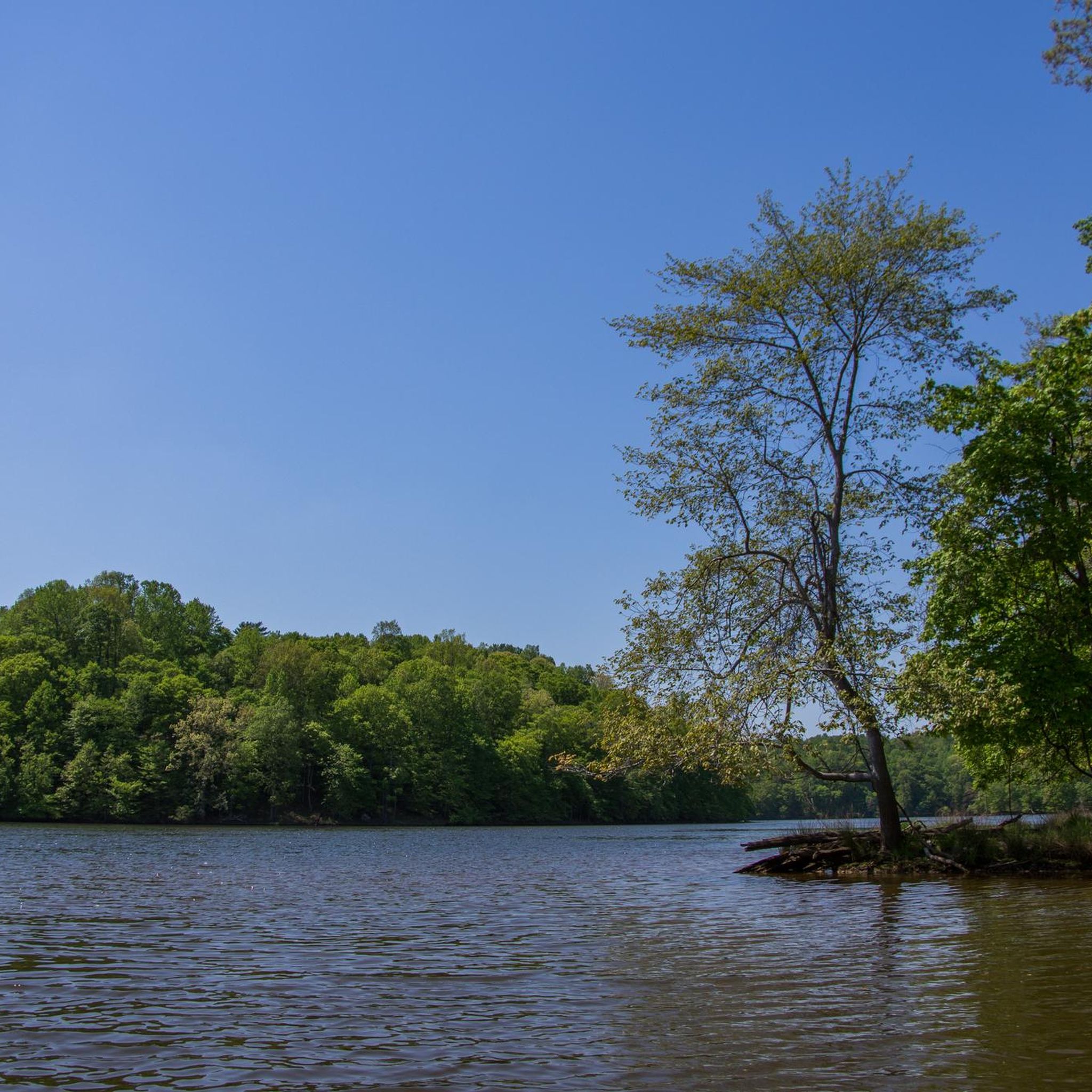
Westridge Lake is in full view as you cycle along Westridge Drive. Keep your eye out for the varied pond life living in and around the body of water.
0
0

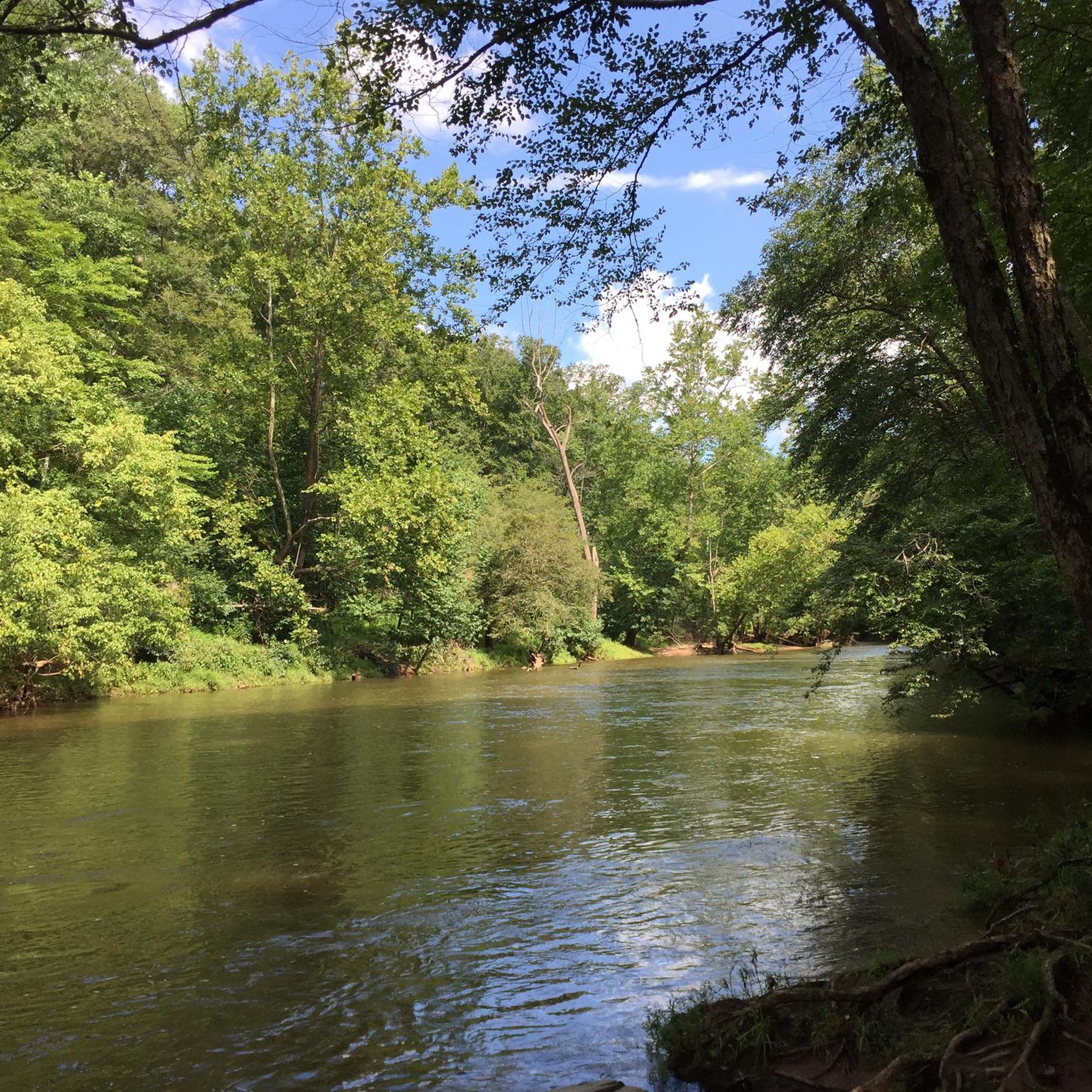
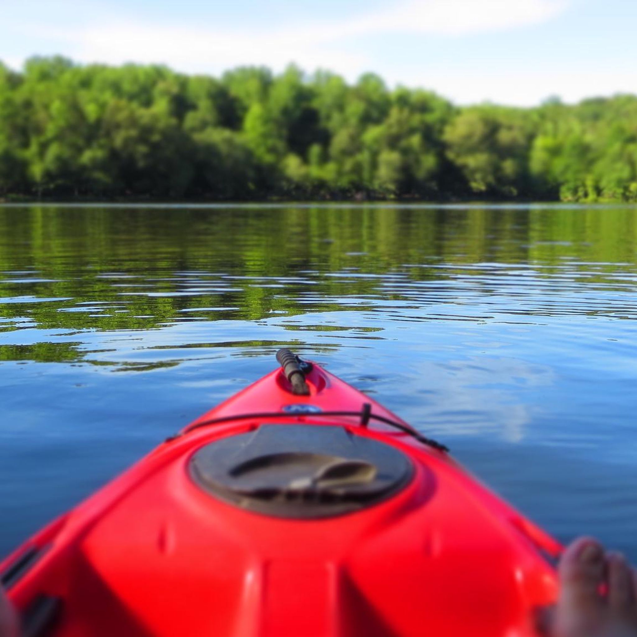
The Occoquan River forms the border between Prince William & Fairfax counties, and is also considered a dividing line between the American North & South regions. The river is a popular destination for rowers, kayakers, and canoeists.
0
0
Chinn Park is home to an aquatics center and the regional library. It also has ball fields and a small number of trails weaving through the trees.
0
0
Once known as Chopawamsic Recreation Area, Prince William Forest Park got its start as a children's relief camp during the Great Depression. These days the park is open for hiking, biking, and camping.
1
0
Frequently Asked Questions
Are there dedicated road cycling trails within Fountainhead Regional Park?
Fountainhead Regional Park is primarily known for its extensive network of challenging mountain bike trails, which feature natural surfaces like rocks, roots, and steep climbs. While the park itself is not ideal for traditional road cycling on paved paths, the surrounding area, which this guide covers, offers road cycling routes that traverse rolling hills and dense forests, providing views of the Occoquan Reservoir. For paved road cycling, alternatives like the Washington & Old Dominion (W&OD) Trail are generally recommended outside the immediate park boundaries.
How many road cycling routes are available in the Fountainhead Regional Park area?
There are over 80 road cycling routes available in the Fountainhead Regional Park area, offering a variety of experiences for different skill levels. These routes are highly rated by the komoot community, with an average score of 4.5 stars.
What types of terrain can I expect on road cycling routes near Fountainhead Regional Park?
Road cycling routes in the Fountainhead Regional Park area are characterized by rolling hills and dense forests. You can expect a mix of gradients, from easier, flatter sections to more challenging climbs, all set against a picturesque backdrop that often includes views of the Occoquan Reservoir.
Are there any easy road cycling routes suitable for beginners or families?
Yes, approximately one-third of the road cycling routes in the Fountainhead Regional Park area are rated as easy. An example of an easy route is the Cannon Branch Park loop from Bull Run Marina - Trail Parking, which is 23.7 miles (38.1 km) long and winds through wooded areas.
What are some moderate road cycling routes in the area?
For those seeking a moderate challenge, routes like the Chinn Park & Occoquan River loop offer varied terrain and scenic stretches along the Occoquan River. Another popular moderate option is the Lake Ridge to Prince William Forest Park loop, which leads through dense forests and past local landmarks.
Are there any challenging road cycling routes for experienced cyclists?
While most routes in the Fountainhead Regional Park area are easy to moderate, there is at least one route rated as difficult for experienced cyclists seeking a greater challenge. These routes typically feature more significant elevation changes and longer distances.
What kind of views or natural features can I see along the road cycling routes?
Many road cycling routes in the area offer stunning views of the Occoquan Reservoir, especially at its widest point. You'll also cycle through dense forests and rolling hills, providing a scenic backdrop and opportunities to observe local wildlife such as deer, raccoons, and various bird species.
What do other road cyclists enjoy most about cycling in the Fountainhead Regional Park area?
The area is highly rated by the komoot community, with an average score of 4.5 stars from over 23 reviews. Reviewers often praise the picturesque landscapes, the variety of terrain, and the peaceful atmosphere of cycling through the rolling hills and dense forests with glimpses of the Occoquan Reservoir.
Are there any circular road cycling routes available?
Yes, many of the road cycling routes in the Fountainhead Regional Park area are designed as loops, allowing you to start and end at the same point. Examples include the Chinn Park loop from Lake Ridge and the Westridge Lake – Occoquan River loop from Lake Ridge.
What amenities are available near the road cycling routes?
While Fountainhead Regional Park itself offers amenities like restrooms, picnic areas, a visitor center, and a snack shop, these are primarily for park users. For road cyclists, the routes often pass through or near communities that provide access to cafes, shops, and other facilities. It's advisable to check specific route details for amenities along your chosen path.
Is Fountainhead Regional Park suitable for road cycling in winter conditions?
Winter conditions in the Fountainhead Regional Park area can include cold temperatures and potential for ice or snow, especially on less-trafficked roads. While the park's mountain bike trails are natural surfaces, the paved roads used for road cycling may be cleared. Always check local weather and road conditions before heading out for a winter ride.
Where can I find parking for road cycling routes in the Fountainhead Regional Park area?
Parking is generally available at various trailheads and public access points around the Fountainhead Regional Park area. For example, the Cannon Branch Park loop starts from Bull Run Marina - Trail Parking. Specific parking details are usually provided within individual route descriptions on komoot.
Most popular routes in Fountainhead Regional Park

Get inspired with the komoot mobile app


Explore more
Browse the best Road cycling routes in other regions.
