The best road cycling routes in Triadelphia Reservoir Recreation Area
3.3
(15)
314
riders
70
rides
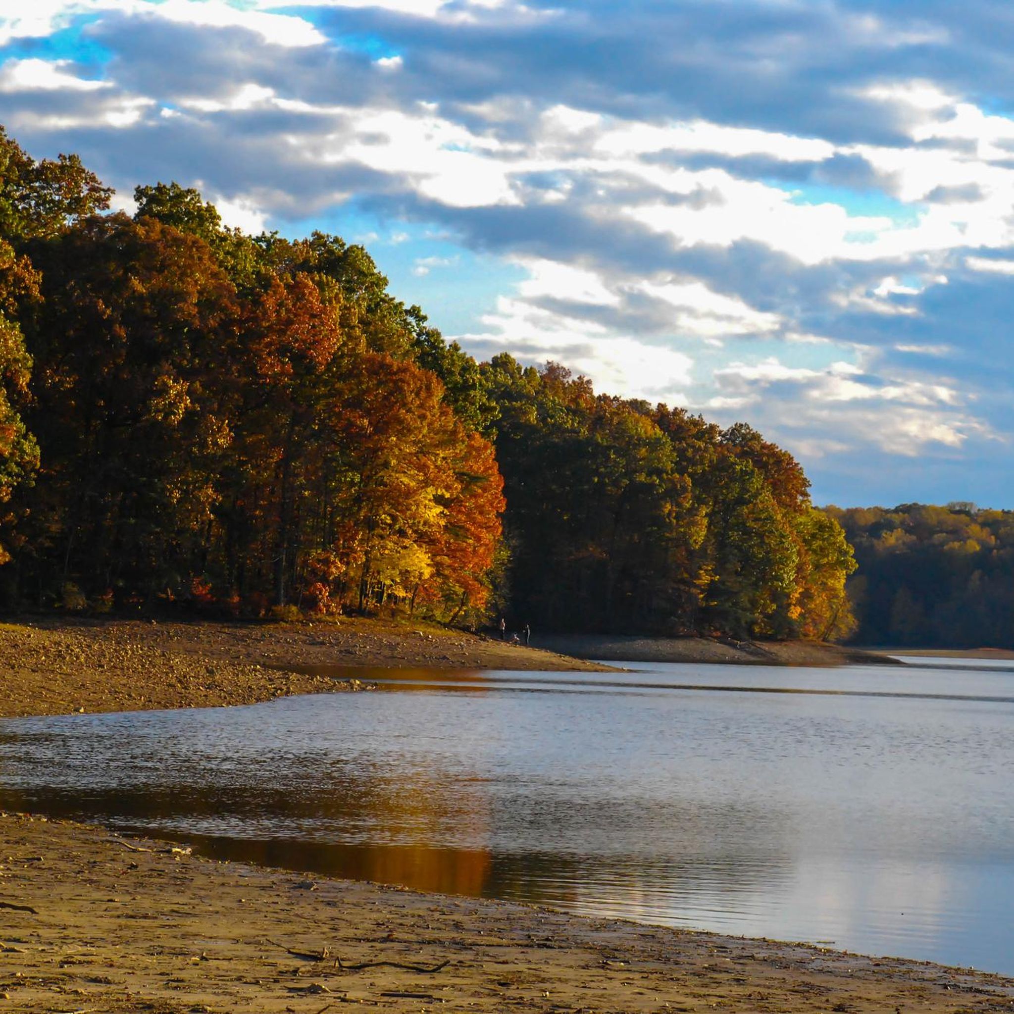
Road cycling in Triadelphia Reservoir Recreation Area traverses thousands of acres of forested land and rolling hills. The region is characterized by diverse terrain, offering mostly well-paved surfaces with varying levels of elevation gain. The centerpiece is the Triadelphia Reservoir, formed by the Brighton Dam on the Patuxent River, providing extensive water views along many paths. This landscape provides a dynamic cycling experience across its varied topography.
Best road cycling routes in Triadelphia Reservoir Recreation Area
- The most popular road…
Last updated: July 2, 2026
4
riders
39.4km
01:52
360m
360m
Moderate road ride. Good fitness required. Mostly well-paved surfaces and easy to ride.
5
riders
29.3km
01:39
320m
320m
Moderate road ride. Good fitness required. Mostly well-paved surfaces and easy to ride.

Sign up for free
5
riders
28.0km
01:24
250m
240m
Easy road ride. Great for any fitness level. Mostly well-paved surfaces and easy to ride.
11
riders
80.4km
03:36
700m
700m
Moderate road ride. Good fitness required. Mostly well-paved surfaces and easy to ride.
5.0
(1)
10
riders
32.6km
01:30
320m
320m
Moderate road ride. Good fitness required. Mostly well-paved surfaces and easy to ride.
Get access to more routes and recommendations from other explorers.
Sign up for free
Already have an account?
Our route recommendations are based on thousands of hikes, rides, and runs completed by other people on komoot.
Start today with a free account
Your next adventure awaits.
Login or Signup
Popular around Triadelphia Reservoir Recreation Area

Tips from the Community

This is a smooth, winding road through bucolic Maryland countryside. Great scenic alternative to riding on Route 97/Roxbury Mills Road,
0
0

The Middle Patuxent River cuts through the Gorman Stream Valley Natural Resource Area and Sweet Hours Park. There is a paved trail that runs close to the banks of the river and there are several spots to enter the water if you want to cool down on a hot day.
0
0
Nice pedestrian bridge over the Little Patuxent River. It is popular with cyclists and walkers, so make sure you look out for other trail users.
0
0

Centennial Lake is an attractive suburban lake that is open from 7:00 a.m. to dusk. There is a large paved path that goes around the lake that is popular with walkers, joggers, and cyclists. There is also a boat launch (but you need a boating permit), which is a popular spot for fishing.
0
0

You may chose to stick to the road or take a deviation and use the greenway to do a loop around the lake. Either way keep an eye open for wildlife and see what you can spot. There are plenty of little piers, paths and pontoons from which to enjoy the lake's beauty.
0
0

This pretty suburban lake is open from 7:00 a.m. to dusk. It has a boat launch (you need a boating permit) and is popular for fishing; people catch large channel catfish here. You can also walk a paved trail that goes all the way around the lake.
0
0

The Simpsonville Mill is a historical pre-colonial mill complex in the form of stone ruins which are located under the Cedar lane bridge that goes over the Middle Patuxent River. The mill stood at the center of a small milling district in its day and it was an important industrial and commercial contributing factor to the local economy. Thus it was deemed eligible to be listed on the National Register of Historic Places.
0
0

Both Gorman Stream Valley Natural Resource Area and Sweet Hours Park offer access down to the Middle Patuxent River. There are multiple hiking paths that get right up next to the banks of the water and connect to other paths passing through the area.
0
0
Frequently Asked Questions
What kind of terrain can I expect when road cycling around Triadelphia Reservoir?
The Triadelphia Reservoir Recreation Area features diverse terrain, primarily characterized by rolling hills and thousands of acres of forested land. You'll find mostly well-paved surfaces with varying levels of elevation gain, offering a dynamic cycling experience. Routes often provide extensive water views of the reservoir.
Are there road cycling routes suitable for beginners or those looking for an easier ride?
Yes, the area offers options for various ability levels. While many routes involve rolling hills, there are 15 easy road cycling routes available. For example, the Roadbike loop from Glenelg High School is an easy 28 km ride with over 240 meters of elevation gain.
What are some notable landmarks or scenic views to look out for while cycling?
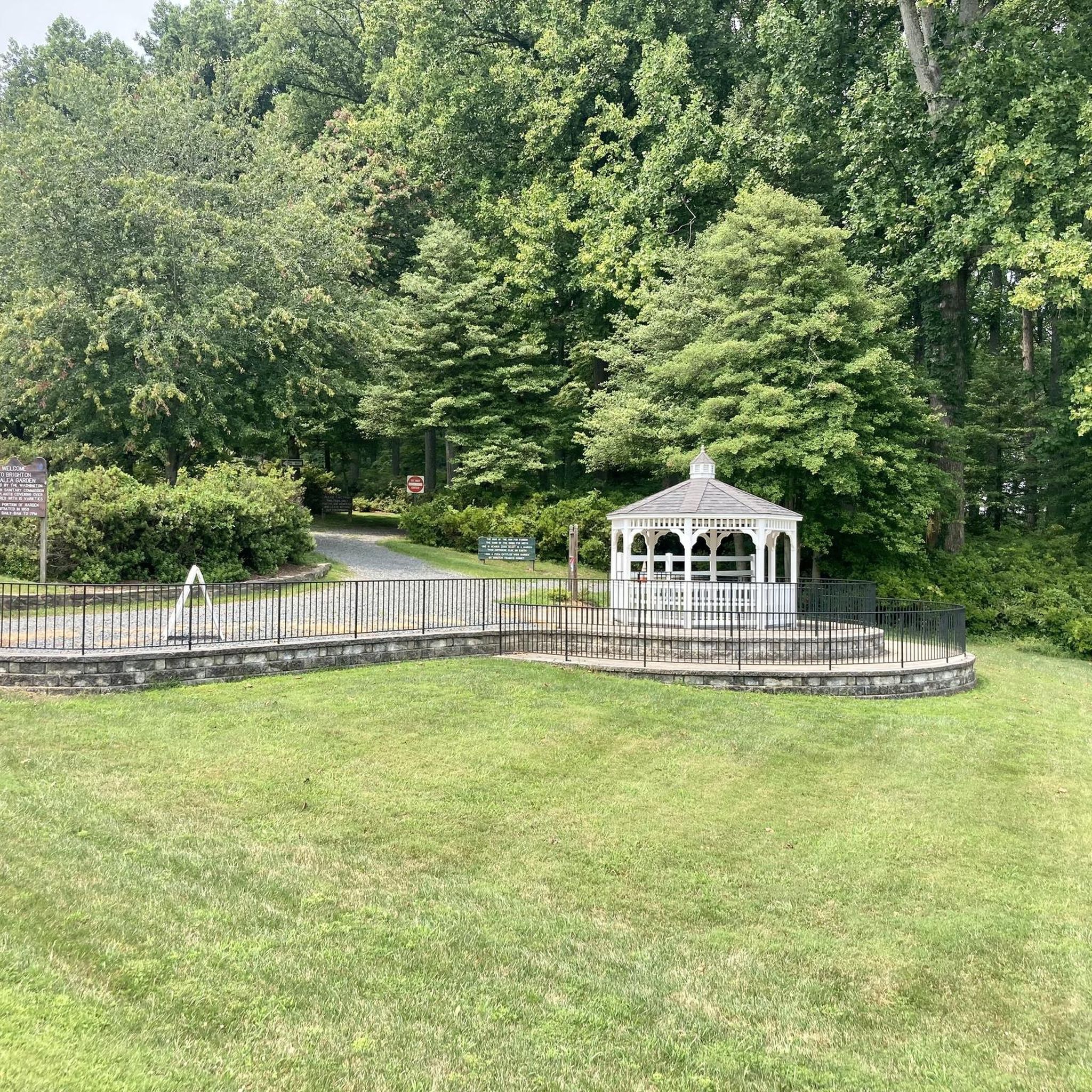
The centerpiece is the Triadelphia Reservoir itself, offering extensive water views. You can also find picturesque views from the sidewalk along the Brighton Dam, which created the reservoir. In spring, the Brighton Dam Azalea Garden, with over 20,000 azaleas, is a stunning sight. The expansive wooded property also provides tranquil natural scenery.
Do I need a permit to road cycle on public roads around Triadelphia Reservoir?
Road cycling on public roads surrounding the Triadelphia Reservoir typically does not require a WSSC Watershed Use Permit. However, a permit is required for many other recreational activities directly on the reservoir property, such as hiking on designated trails or boating. Always check local regulations if you plan to venture off public roads onto WSSC-managed land.
What is the best time of year to go road cycling in the Triadelphia Reservoir area?
Spring, particularly from mid-April to early May, is a beautiful time to visit, as the Brighton Dam Azalea Garden is in full bloom. The area's rolling hills and forested land offer pleasant cycling conditions through spring, summer, and fall, with autumn foliage providing another scenic highlight. Always check weather conditions before heading out.
Are there any challenging road cycling routes for experienced riders?
Yes, the Triadelphia Reservoir Recreation Area includes routes with significant elevation changes that cater to experienced cyclists. For instance, the River Hill loop from Highland is a moderate 58.6 km path with over 540 meters of elevation gain, offering a good workout and views of the forested landscape.
Can I find circular road cycling routes in the area?
Many of the road cycling routes in the Triadelphia Reservoir Recreation Area are designed as loops, allowing you to start and end at the same point. Examples include the Roadbike loop from Hawlings River and the Roadbike loop from Glenelg, which take you through rolling hills and wooded areas.
What do other road cyclists enjoy most about cycling in Triadelphia Reservoir Recreation Area?
The area is highly rated by the komoot community, with an average score of 3.6 stars. Reviewers often praise the varied terrain, the tranquility of the wooded areas, and the scenic views of the reservoir. The mix of moderate challenges and beautiful natural surroundings makes it a popular choice for road cyclists.
Are there options for parking when accessing road cycling routes?
While specific parking details for every route vary, access points to the public roads surrounding the reservoir typically offer parking opportunities. It's advisable to check the starting point of your chosen route for the most convenient parking options.
Are there any cafes or places to stop for refreshments near the cycling routes?
The Triadelphia Reservoir Recreation Area is primarily natural and residential. While there aren't cafes directly on the reservoir property, you can find cafes, pubs, and accommodation in nearby towns such as Brookeville, Olney, Dayton, and Glenelg, which are often starting points or pass-through areas for many routes.
How many road cycling routes are available in the Triadelphia Reservoir Recreation Area?
There are over 70 road cycling routes available in the Triadelphia Reservoir Recreation Area, catering to various skill levels. This includes 15 easy routes, 58 moderate routes, and 1 difficult route, ensuring options for everyone from beginners to experienced riders.
Is public transportation available to reach the Triadelphia Reservoir area for cycling?
Public transportation options directly to the Triadelphia Reservoir Recreation Area are limited. While some Ride On bus routes might operate in nearby communities, reaching specific access points or the Brighton Dam typically requires personal vehicle transport. Planning your route start and end points with this in mind is recommended.
What kind of wildlife might I encounter while cycling?
The Triadelphia Reservoir is known for its rich ecosystem and is a popular spot for birdwatching, with over 240 bird species reported, including frequent sightings of Bald Eagles. You might also spot deer and herons in the surrounding forested areas and along the water's edge, adding to the natural experience of your ride.
Most popular routes in Triadelphia Reservoir Recreation Area

Get inspired with the komoot mobile app


Explore more
Browse the best Road cycling routes in other regions.
