The best road cycling routes in Patapsco Valley State Park
4.2
(59)
1,634
riders
172
rides
Road cycling in Patapsco Valley State Park offers routes through diverse landscapes along the Patapsco River. The park features a hilly terrain with varied elevation changes, characterized by lush forests. Paved surfaces are common, providing accessible options for road cyclists. The area's natural features include the winding Patapsco River and numerous historical points of interest.
Best road cycling routes in Patapsco Valley State Park
- The most popular road cycling route is Deep Run Area loop, an 18.2 miles (29.3…
Last updated: October 1, 2026
4.0
(2)
19
riders
29.3km
01:38
270m
270m
The Deep Run Area loop in Catonsville, Maryland, is a fantastic choice for a relaxed road cycling adventure. You'll pedal along mostly well-paved surfaces, enjoying a blend of suburban charm…
3.0
(1)
42
riders
53.2km
02:44
380m
380m
Moderate road ride. Good fitness required. Mostly well-paved surfaces and easy to ride.

27
riders
Moderate road ride. Good fitness required. Mostly well-paved surfaces and easy to ride.
14
riders
42.2km
02:03
490m
490m
Moderate road ride. Good fitness required. Mostly well-paved surfaces and easy to ride.
10
riders
67.5km
03:00
380m
380m
Moderate road ride. Good fitness required. Mostly well-paved surfaces and easy to ride.
Get access to more routes and recommendations from other explorers.
Already have an account?
Our route recommendations are based on thousands of hikes, rides, and runs completed by other people on komoot.
Start today with a free account
Your next adventure awaits.
Popular around Patapsco Valley State Park
Tips from the Community


best ice cream around they even have vegan options well worth the stop
0
0

The Cycle Mill Bike Shop is a helpful, local bike shop. If you need to pick up anything during your ride, or need something looked at, it is a good choice.
0
0

The Ilchester Road access point to the Ridge Trail offers a thrilling start for cyclists exploring Patapsco Valley State Park. Expect a steep, technical climb with rocky sections, rewarding you with flowing trails and forest views at the top. For a longer ride, connect to the Orange Grove area to enjoy smoother paths and cross the historic swinging bridge. Be prepared for limited parking and challenging terrain that tests both endurance and skill.
0
0

The BWI Trail offers a great spot to watch planes land at Baltimore/Washington International Thurgood Marshall Airport. This scenic trail provides some shelters and benches to take a break and watch.
0
0
The BWI Trail offers a great spot to watch planes land at Baltimore/Washington International Thurgood Marshall Airport. This scenic trail provides some shelters and benches to take a break and watch.
0
0

From this spot on the BWI Trail you get a truly amazing views over the airport. This multi-use trail is the only trail in the U.S. that encircles an international airport, making it a unique spot for a ride.
0
0
Frequently Asked Questions
How many road cycling routes are available in Patapsco Valley State Park?
Patapsco Valley State Park offers a wide variety of road cycling experiences, with over 180 routes available. These range from easy rides to more challenging paths, catering to different skill levels.
What kind of terrain can I expect when road cycling in Patapsco Valley State Park?
The park is characterized by lush forests and a hilly landscape, providing a dynamic environment with varied elevation changes. Many routes feature mostly well-paved surfaces, especially along the winding Patapsco River.
Are there routes suitable for beginners or families in Patapsco Valley State Park?
Yes, there are routes suitable for various skill levels. For an easier ride, consider the Deep Run Area loop, which is 18.2 miles (29.3 km) with moderate elevation. The Grist Mill Trail, part of the Grist Mill and Trolley Line #9 Loop, is also predominantly paved and accessible.
What historical landmarks or natural features can I see along the road cycling routes?
Patapsco Valley State Park is rich in history and natural beauty. You can encounter impressive structures like the nearly 200-year-old Thomas Viaduct, or the picturesque Swinging Bridge. Other historical sites include the ruins of the Orange Grove Flour Mill and the Bloede Dam. For natural features, look for Cascade Falls and views of Liberty Lake.
Are there any waterfalls accessible by road bike in the park?
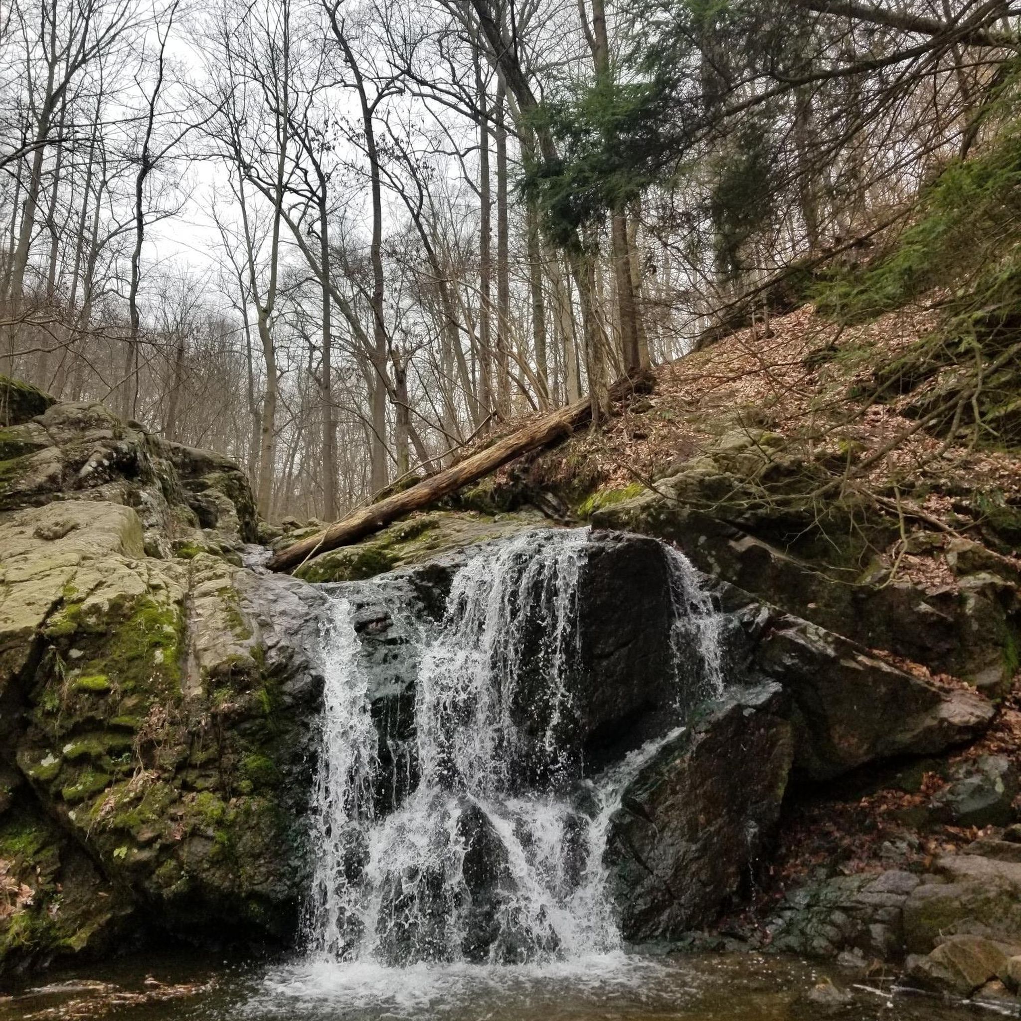
Yes, Cascade Falls is a notable natural wonder within the park that can be accessed from various routes. Another waterfall, McKeldin Falls, is also located within the park.
What do other cyclists say about road cycling in Patapsco Valley State Park?
The road cycling routes in Patapsco Valley State Park are highly rated by the komoot community, with an average score of 4.3 stars from over 40 reviews. Cyclists often praise the diverse landscapes, the winding Patapsco River views, and the mix of historical points of interest along the routes.
Are there any loop routes for road cycling in the park?
Many routes in Patapsco Valley State Park are designed as loops, offering varied scenery without retracing your path. Examples include the Deep Run Area loop and the Tom Dixon Observation Area – BWI Trail loop from Catonsville, which connects to the broader BWI Trail.
Is parking available for road cyclists in Patapsco Valley State Park?
Yes, Patapsco Valley State Park has multiple access points and parking areas. Specific trailheads like the Morning Choice Trailhead often have dedicated parking facilities for visitors.
Can I bring my dog on road cycling routes in Patapsco Valley State Park?
Patapsco Valley State Park is generally dog-friendly, but specific rules may apply to certain trails or areas. It's always best to check the park's official guidelines regarding pets on trails to ensure compliance and a pleasant experience for everyone.
Are there options for public transport access for cyclists?
While the park itself is primarily accessed by car, some routes, like the BWI Trail, are more accessible via public transport connections in the broader Baltimore/Washington area. For direct access to the park, personal vehicle or ride-sharing is generally recommended.
What is the best time of year for road cycling in Patapsco Valley State Park?
The park offers enjoyable cycling experiences throughout much of the year. Spring and fall provide pleasant temperatures and beautiful foliage. Views of Liberty Lake from the Liberty Dam Overlook are particularly striking during the fall and winter months.
Are there paved trails suitable for road bikes?
Yes, many sections within Patapsco Valley State Park are well-paved and ideal for road bikes. The Grist Mill Trail, for instance, is predominantly paved and runs alongside the Patapsco River, offering a smooth ride. The BWI Trail, though outside the immediate park, is a fully paved loop often integrated into regional cycling plans.
Most popular routes in Patapsco Valley State Park
Most popular attractions in Patapsco Valley State Park

Get inspired with the komoot mobile app


Explore more
Browse the best Road cycling routes in other regions.
