The best walks and hikes in Swartswood State Park
4.5
(12)
159
hikers
21
hikes
Hiking in Swartswood State Park features a landscape shaped by glaciers, centered around Swartswood Lake and other smaller bodies of water. The terrain includes rolling hills and diverse forests, with secondary succession forests, mixed pines, and hardwoods. This glaciated region offers varied environments for outdoor exploration.
Best hiking trails in Swartswood State Park
- The most popular hiking route is Paulinskill Valley Trail — Stillwater Township, a 6.6 miles (10.7 km) trail that takes 2 hours 45 minutes to complete.…
Last updated: November 8, 2026
4.22km
01:08
50m
60m
10.7km
02:45
50m
50m

1
hikers
5.32km
01:36
190m
120m
Embark on the Brink Road Access Loop, an easy hiking route that guides you through the serene forested landscape of Stokes State Forest. This trail offers a straightforward outdoor experience,…
15
hikers
10.9km
03:44
370m
370m
Embark on the Buttermilk Falls, Crater Lake, and Hemlock Pond Loop, a moderate hike that takes you through diverse landscapes. You will experience a challenging climb alongside Buttermilk Falls, New…
5.0
(1)
3
hikers
5.30km
01:29
100m
100m
Get access to more routes and recommendations from other explorers.
Already have an account?
Our route recommendations are based on thousands of hikes, rides, and runs completed by other people on komoot.
Start today with a free account
Your next adventure awaits.


Tips from the Community

Buttermilk Falls is the tallest waterfall in New Jersey. If you want to park your bike at the bottom of the falls, you can climb up to the top and to take in the vistas from the viewing platform.
1
0
Paulinskill Lake was created after a dam was constructed across the river in Stillwater Township in the 1920s. From this point in the rail trail, there is a great view of the lake.
1
0
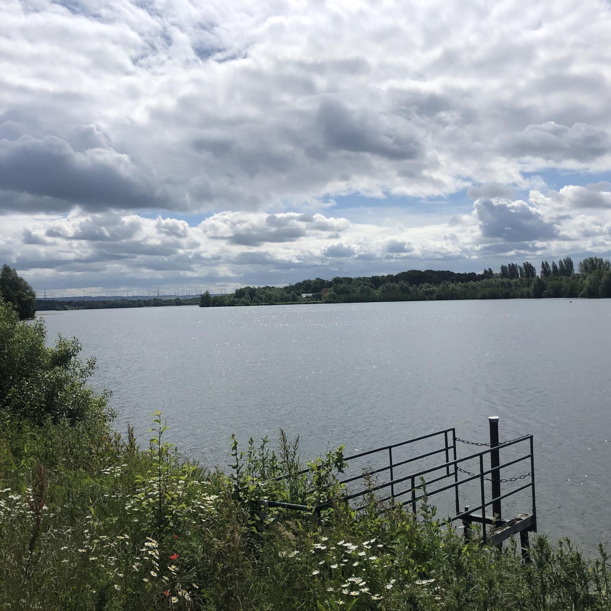
The Paulinskill Valley Trail is a 27-mile trail that follows along a river of the same name. The trail is mostly gravel and dirt. This section runs alongside Paulinskill Lake and there are several points where you get a great view of the water.
1
0

Crater Lake is a former glacial lake. An approximately 2.5 km long hiking trail leads around the lake. The 'Skyline Drive', a tar road, ends at a parking lot by the lake. Hemlock Pond is nearby and a longer circular hike is possible on the Blue Mountain Lake Trail. The Appalachian National Scenic Trail passes Crater Lake. https://www.nps.gov/dewa/planyourvisit/crater-lake-trail.htm
1
0
Hemlock Pond is part of the lake landscape in the Delaware Water Gap National Recreation Area. From the parking lot at Crater Lake you walk approximately 1 km to the pristine lake in a lush forest of hemlock firs. The Hemlock Pond Trail leads approximately 3 km around the lake. There are several options for taking a longer circular hike, such as walking along the 'Blue Mountain Lake Trail', the 'Crater Lake Trail' or even a section of the well-known 'Appalachian National Scenic Trail'. https://www.nps.gov/dewa/planyourvisit/hemlock-pond-trail.htm
1
0

Distant views of deep-set Crater Lake, from Skyline Drive, turn into spectacular overlooks as you draw closer to the water.
1
0
The trail loops close around picturesque little Hemlock Pond, which can easily be combined with a hike around Crater Lake, on the opposite site of the Appalachian Trail, or a circuit around nearby Blue Mountain Lake on this side of the Appalachian Trail.
0
0
This is the intersection of the Buttermilk Falls Trail, which passes by one of the tallest waterfalls in New Jersey, and the Appalachian Trail. If you're just out for a day hike, you could extend your trip by trekking south along the Appalachian Trail to find the Crater Lake and Hemlock Pond trails.
1
0
Frequently Asked Questions
How many hiking trails are available in Swartswood State Park?
Swartswood State Park offers a variety of hiking experiences with over 10 distinct trails. These range from easy, accessible paths to more challenging, rocky ascents, catering to different skill levels.
What kind of terrain can I expect on the trails in Swartswood State Park?
The park's trails navigate through rolling, hilly terrain, showcasing a unique glaciated landscape. You'll encounter diverse forests, including secondary succession forests, mixed pines, and hardwoods. Some trails, like the Buttermilk Falls – Views of Crater Lake loop, feature significant elevation changes, while others, such as the Duck Pond Multi-Use Trail, are paved and relatively flat.
Are there any easy, family-friendly hikes in Swartswood State Park?
Yes, for an easy and accessible option, the 0.6-mile Duck Pond Multi-Use Trail is paved and meanders through a forested area alongside Duck Pond, offering information plaques and a bird blind. Another easy choice is the 1-mile Emmons Path Trail, which follows the northeastern edge of Swartswood Lake under large hemlock trees. The Crater Lake and Hemlock Pond loop is also rated as easy and offers a pleasant walk around natural water features.
Can I bring my dog on the hiking trails in Swartswood State Park?
Swartswood State Park generally welcomes dogs on its hiking trails, provided they are kept on a leash. Always ensure to clean up after your pet to maintain the park's natural beauty for all visitors.
What natural features or landmarks can I see while hiking in the park?
The park is centered around Swartswood Lake, a large glacial lake, and features other scenic bodies of water like Little Swartswood Lake, Duck Pond, and Spring Lake. You can also explore diverse forests, observe wildlife such as bald eagles, wild turkey, and deer, and visit historical sites like Keen's Grist Mill, built in 1838. The Grist Mill Trail offers views of Snake Island and a dam with scenic vistas of Swartswood Lake.
Are there any loop trails in Swartswood State Park?
Yes, the park offers several loop options. The 1.5-mile Grist Mill Trail is a moderate to difficult loop that provides rewarding scenic views of Swartswood Lake. For an easy loop around natural water features, consider the Crater Lake and Hemlock Pond loop.
When is the best time of year to go hiking in Swartswood State Park?
Hiking in Swartswood State Park is enjoyable year-round, but the period from April to October is particularly good. During these months, the weather is generally pleasant, and the natural scenery, from spring blooms to autumn foliage, is at its most vibrant.
What wildlife might I encounter on the trails?
Swartswood State Park is home to a variety of wildlife. You might spot bald eagles, especially around the lakes, as well as wild turkey, grouse, and white-tailed deer within the diverse forests. Bird blinds along trails like the Duck Pond Multi-Use Trail offer opportunities for undisturbed birdwatching.
Are there any challenging hikes for experienced hikers?
For those seeking a more challenging experience, the 1.5-mile Grist Mill Trail is rated moderate to difficult, featuring steep and rocky sections. Another difficult option is the Buttermilk Falls – Views of Crater Lake loop, which covers over 10 miles with significant elevation gain.
What do other hikers enjoy most about Swartswood State Park?
The area is highly rated by the komoot community, with an average score of 4.5 stars. Reviewers often praise the park's tranquil glacial lakes, diverse forests, and the variety of trails that cater to different abilities, from accessible paved paths to more rugged, hilly terrain.
Are there opportunities for winter hiking or other winter activities?
Yes, Swartswood State Park remains open in winter and offers opportunities for cross-country skiing, sledding, and ice fishing, in addition to winter hiking. The glaciated landscape takes on a different beauty under a blanket of snow.
Is there parking available at Swartswood State Park?
Yes, Swartswood State Park provides designated parking areas for visitors accessing the trails and other park amenities. Specific parking information for individual trailheads can often be found on park maps or signage upon arrival.
Most popular routes in Swartswood State Park

Get inspired with the komoot mobile app


Explore more
Browse the best Hikes in other regions.
