Moosup Valley State Park Trail
Moosup Valley State Park Trail
The best road cycling routes in Moosup Valley State Park Trail
5.0
(1)
62
riders
8
rides
Road cycling routes in Moosup Valley State Park Trail traverse a largely flat and accessible former railroad bed through eastern Connecticut. The trail follows the Moosup River, offering scenic views and passing through wetlands, ponds, and woodlands. Its surface varies, including paved sections, crushed stone, and packed dirt, making it suitable for various road cycling preferences. The trail also connects to a larger network at the Rhode Island border, providing options for extended rides.
Best road cycling routes in Moosup…
Last updated: June 29, 2026
1
riders
53.8km
02:40
570m
570m
The Sterling to Tillinghast Pond loop is a 33.4-mile route, but it's not suitable for road cycling due to unpaved trails.
5.0
(1)
3
riders
42.4km
02:10
470m
470m
Moderate road ride. Good fitness required. Mostly well-paved surfaces and easy to ride.

Sign up for free
28
riders
32.6km
01:23
180m
180m
Cycle the easy 20.2-mile Washington Secondary Rail Trail, Rhode Island's longest rail trail, through diverse scenery and historical sites.
1
riders
41.5km
02:09
420m
420m
Cycle the George B Parker Woodland to Scituate Reservoir Protection Area loop, a moderate 25.8-mile road route with 1369 feet of gain.
31
riders
32.7km
01:24
170m
170m
Easy road ride. Great for any fitness level. Mostly well-paved surfaces and easy to ride.
Get access to more routes and recommendations from other explorers.
Sign up for free
Already have an account?
Our route recommendations are based on thousands of hikes, rides, and runs completed by other people on komoot.
Start today with a free account
Your next adventure awaits.
Login or Signup
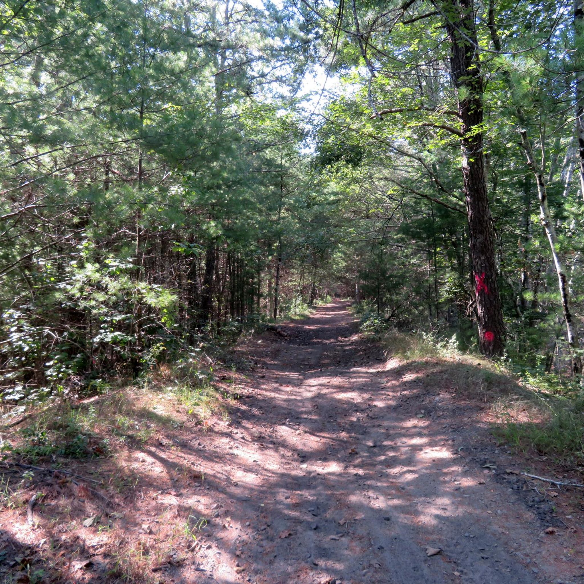
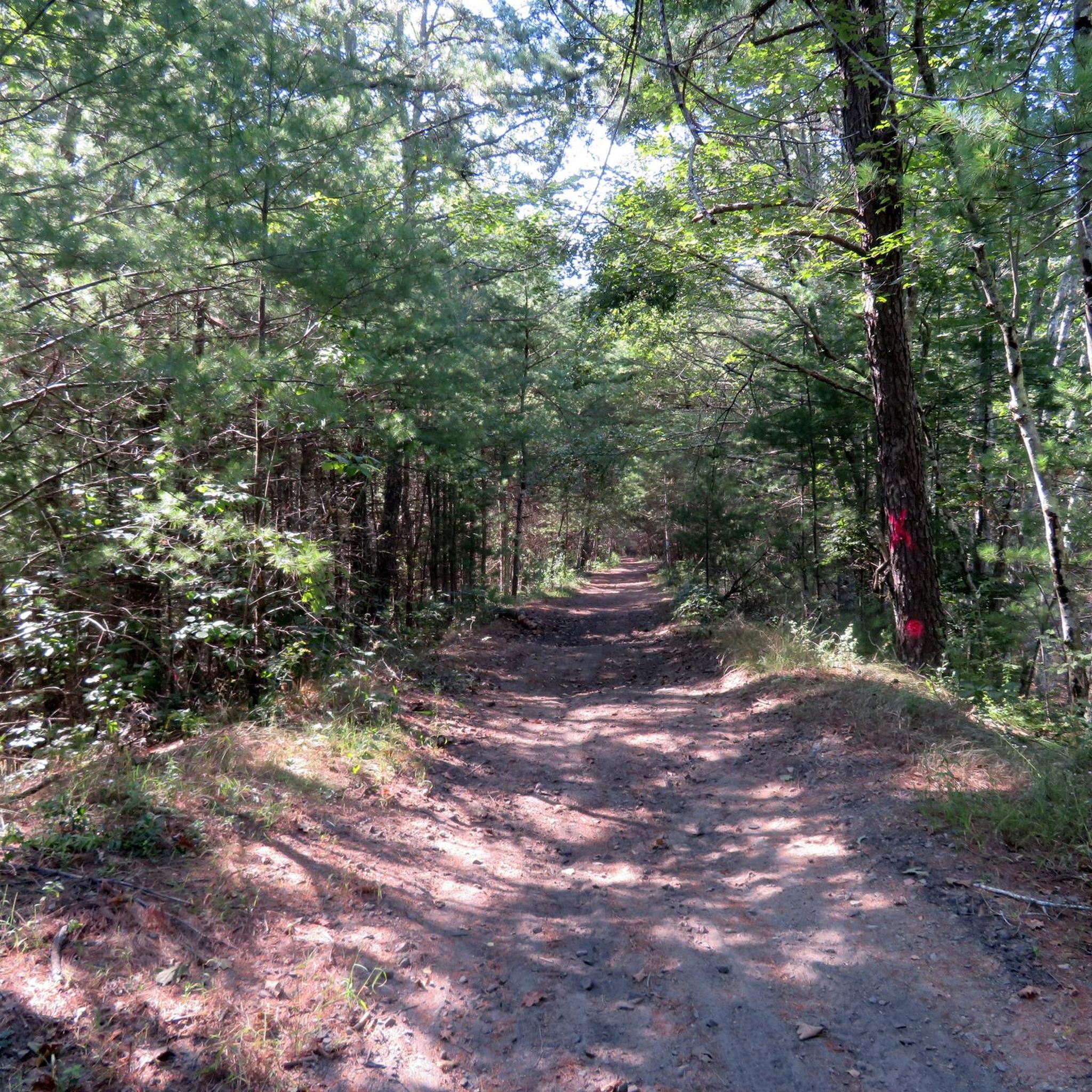

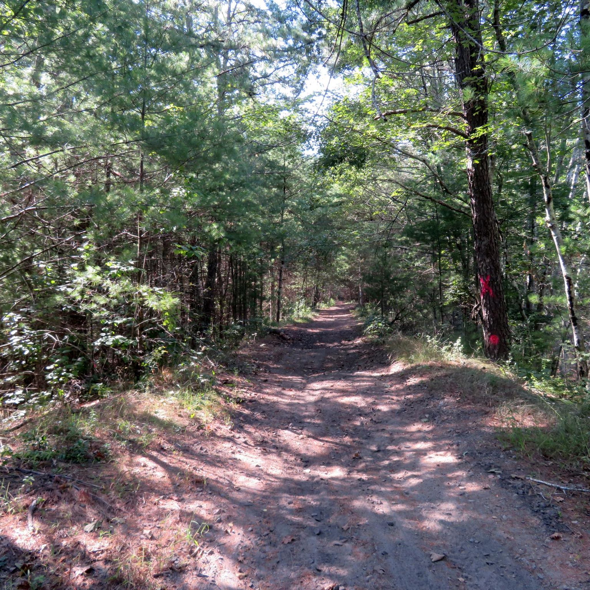

Tips from the Community

Circle 'C' Campground has both pine-shaded and grassy open campsites with water and electric hookups. Hikers can choose tent camping or rustic cabin rentals and have access to restrooms. The campground also offers a playground, a mini convenience store, and a recreation hall. There is also access to Bailey Pond, where visitors can launch or rent boats for bass fishing or take a swim in the smaller spring-fed pond. This campground is a mile detour off of the North-South Trail, but as dispersed camping is not allowed in the area, it's a great option for legal camping.
0
0

Originally built to also accommodate horses, the western section of the Washington Secondary-Rail Trail, the Trestle Trail, is over 4.8 miles of paved trail with stunning Rhode Island scenery.
0
0
Waterman Hill Conservation Area in Rhode Island offers a peaceful retreat with scenic trails and woodlands. Rich in biodiversity, it provides a serene environment for outdoor activities in the Kent County area.
0
0
The Scituate Reservoir Protection Area in Rhode Island safeguards the largest freshwater source in the state. Offering pristine landscapes, trails, and wildlife habitats, it ensures the conservation of vital water resources for the state, while providing a tranquil retreat for nature enthusiasts.
0
0

Tillinghast Pond is a small reservoir that serves as the centerpiece of the Tillinghast Pond Management Area. There are multiple trails that leave from the southern end of the pond, and one path even circles around the banks of the water.
0
0
Originally built to also accommodate horses, the western section of the Washington Secondary-Rail Trail, the Trestle Trail, is over 4.8 miles of paved trail with stunning Rhode Island scenery.
0
0

The former railroad has been transformed into a 19-mile trail that meanders along the Pawtuxet River South Branch, providing breathtaking views of the water. The trail is particularly stunning in the fall, when the leaves change colors.
0
0
Frequently Asked Questions
What kind of terrain can I expect on road cycling routes in Moosup Valley State Park Trail?
The Moosup Valley State Park Trail is primarily built on a retired railroad bed, meaning routes generally feature a gentle grade and are largely flat. The surface varies, including paved sections, crushed stone, packed dirt, and gravel. Recent improvements in 2024 have enhanced the riding experience, though some sections towards the Rhode Island border may still be rougher.
Are there options for longer road cycling tours that connect to other trails?
Yes, the Moosup Valley State Park Trail connects at the Rhode Island border to the Coventry Greenway and the broader Washington Secondary Bike Path. This integration allows for extended rides into a larger paved network, forming a critical link in the planned 3,000-mile East Coast Greenway.
What scenic features or landmarks will I encounter while cycling in Moosup Valley State Park Trail?
Cyclists can enjoy diverse scenery including riverside views along the Moosup River, 62 acres of wetlands, and various ponds like Sterling Pond, Tillinghast Pond, and Carbuncle Pond. The trail also features historic railroad elements such as old trestle bridges, deep rock cuts, a refurbished railroad bridge, a dam, a waterfall near an abandoned mill building, and a quarry around the 2-mile mark.
Are there any easy road cycling routes suitable for beginners or families?
Yes, the Moosup Valley State Park Trail is known for its accessible, mostly flat terrain, making it suitable for cyclists of all skill levels. An easy option is the Blackwell Brook Covered Bridge – Bush Hill loop from East Brooklyn, which is 17.9 miles (28.9 km) long and leads through forested areas and past historic features.
What is the best time of year to go road cycling in Moosup Valley State Park Trail?
The trail offers beautiful scenery throughout the warmer months. Spring and fall are particularly pleasant for cycling, with comfortable temperatures and vibrant foliage. Summer is also suitable, but it's advisable to start earlier in the day to avoid the midday heat.
Are there any challenging road cycling routes for experienced riders?
While the trail is largely flat, some routes offer longer distances and varied terrain for a moderate challenge. For instance, the Sterling to Tillinghast Pond loop via Waterman Hill Conservation Area is a moderate 33.4 miles (53.8 km) route with varied terrain, taking about 2 hours 40 minutes to complete.
What do other road cyclists enjoy most about the Moosup Valley State Park Trail?
The area is highly rated by the komoot community, with an average score of 5.0 stars. Reviewers often praise the tranquil atmosphere, diverse natural beauty, and the trail's suitability for a relaxed ride due to its gentle grade and scenic views along the Moosup River and through woodlands.
Can I find loop options for road cycling in the Moosup Valley State Park Trail area?
Yes, there are several loop options available. A popular moderate loop is the Circle 'C' Campground loop from Moosup Valley State Park Trail, which is 26.3 miles (42.4 km) and offers a mix of open areas and wooded sections. Another is the George B Parker Woodland to Scituate Reservoir Protection Area loop, a moderate 41.5 miles (66.8 km) ride.
What is the typical distance and duration for road cycling routes in this region?
Routes in the Moosup Valley State Park Trail area vary in length and duration. You can find shorter easy rides, such as the Blackwell Brook Covered Bridge – Bush Hill loop from East Brooklyn at 17.9 miles (28.9 km) taking about 1 hour 20 minutes, to longer moderate routes like the Sterling to Tillinghast Pond loop via Waterman Hill Conservation Area, which is 33.4 miles (53.8 km) and takes around 2 hours 40 minutes.
Are there any specific sections of the trail that are particularly well-suited for road bikes?
The initial stretch from Moosup to Barber Hill Road is noted for its paved sections, making it ideal for road bikes. While other parts feature crushed stone and dirt, the overall gentle grade of the rail trail makes much of it accessible for road cycling, especially after recent resurfacing improvements.
Is the Moosup Valley State Park Trail suitable for road cyclists looking for a flat ride?
Absolutely. As a former rail trail, the Moosup Valley State Park Trail is characterized by its largely flat terrain and gentle grades, making it an excellent choice for road cyclists seeking a less strenuous ride without significant elevation changes.
What kind of wildlife might I see along the road cycling routes?
The trail passes through lush woodlands and 62 acres of wetlands, offering opportunities to spot diverse wildlife. You might encounter various bird species, small mammals, and other creatures typical of eastern Connecticut's natural habitats.
Most popular routes in Moosup Valley State Park Trail

Get inspired with the komoot mobile app


Explore more
Browse the best Road cycling routes in other regions.
