Moosup Valley State Park Trail
Moosup Valley State Park Trail
The best walks and hikes in Moosup Valley State Park Trail
4.8
(4)
58
hikers
21
hikes
Hiking in Moosup Valley State Park Trail follows a former railroad line, creating a mostly flat network of paths. The terrain features a mix of paved, crushed stone, and packed dirt surfaces, often running alongside the Moosup River. These routes traverse woodlands and wetlands, characterized by historical elements like old trestle bridges and deep rock cuts from the original railway construction. The trail offers views of ponds and bogs, providing diverse natural scenery.
Best hiking trails in Moosup Valley State…
Last updated: June 25, 2026
1
hikers
23.3km
06:02
130m
110m
Hike the 14.5-mile Moosup Valley State Park Trail, a difficult route with 433 feet of elevation, following an old railroad bed.
4.83km
01:13
10m
10m
This easy 3.0-mile (4.8 km) loop in Nicholas Farm Management Area offers forest paths, lake views, and the scenic Trestle Trail.

Sign up for free
2
hikers
6.11km
01:38
70m
60m
Hike the easy 3.8-mile Lockes Meadow trail in Pachaug State Forest, enjoying pine forests, bird-watching at Lockes Meadow Pond, and historic
8
hikers
7.23km
01:53
50m
50m
Embark on an easy hiking adventure along the Sugar Brook Loop Trail, a pleasant route that winds through soft forest paths. You will enjoy views of the Quinebaug River, catch…
2
hikers
3.17km
00:49
10m
10m
Explore the easy 2.0-mile Wauregan Reservoir Loop in Quinebaug Lake State Park, offering tranquil wooded paths and scenic lake views.
Get access to more routes and recommendations from other explorers.
Sign up for free
Already have an account?
Our route recommendations are based on thousands of hikes, rides, and runs completed by other people on komoot.
Start today with a free account
Your next adventure awaits.
Login or Signup



Tips from the Community

Easy to get to, plenty of parking, mostly flat, not a lot of tripping hazards for a woods run, and easy length at 4 miles. Highly recommend!
0
0

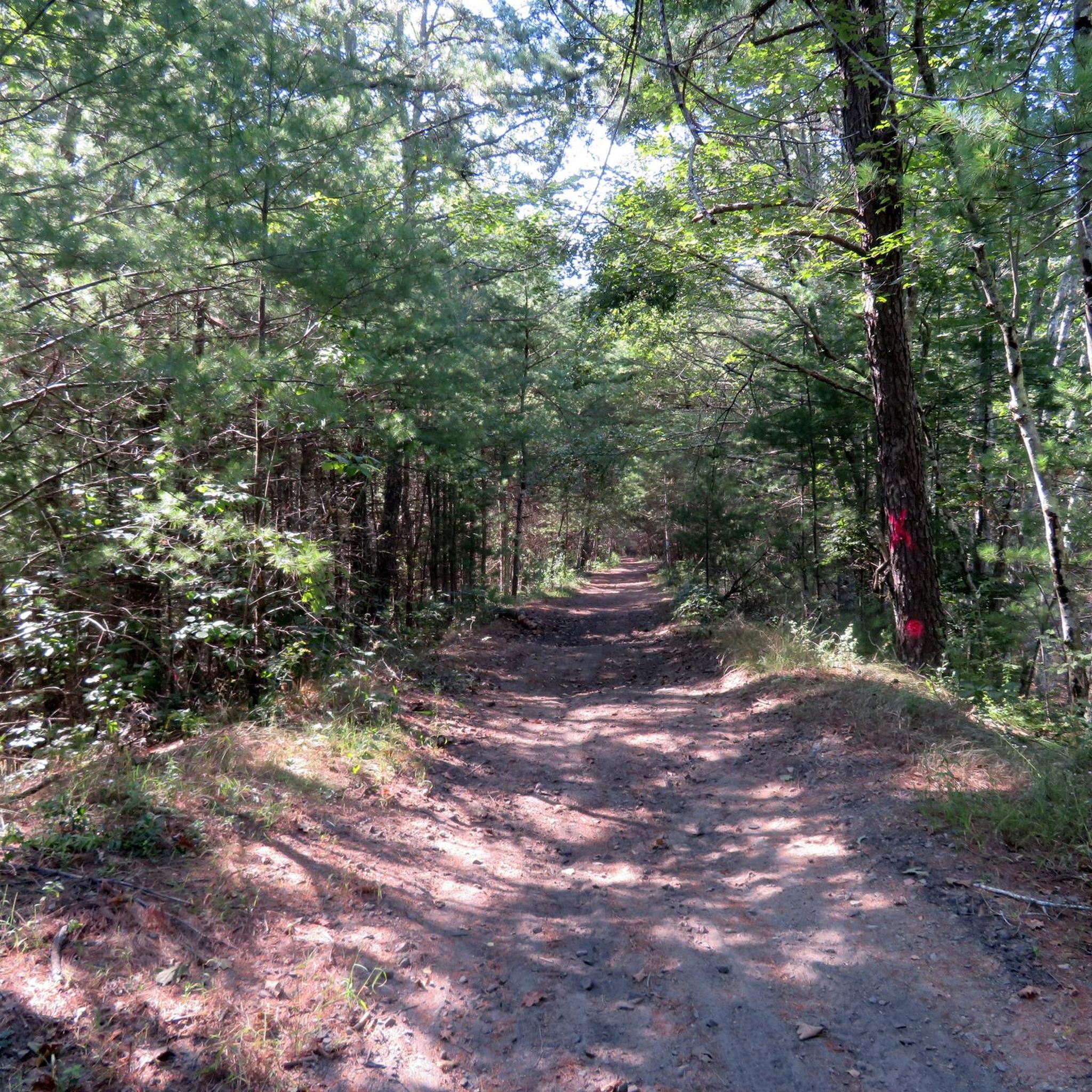
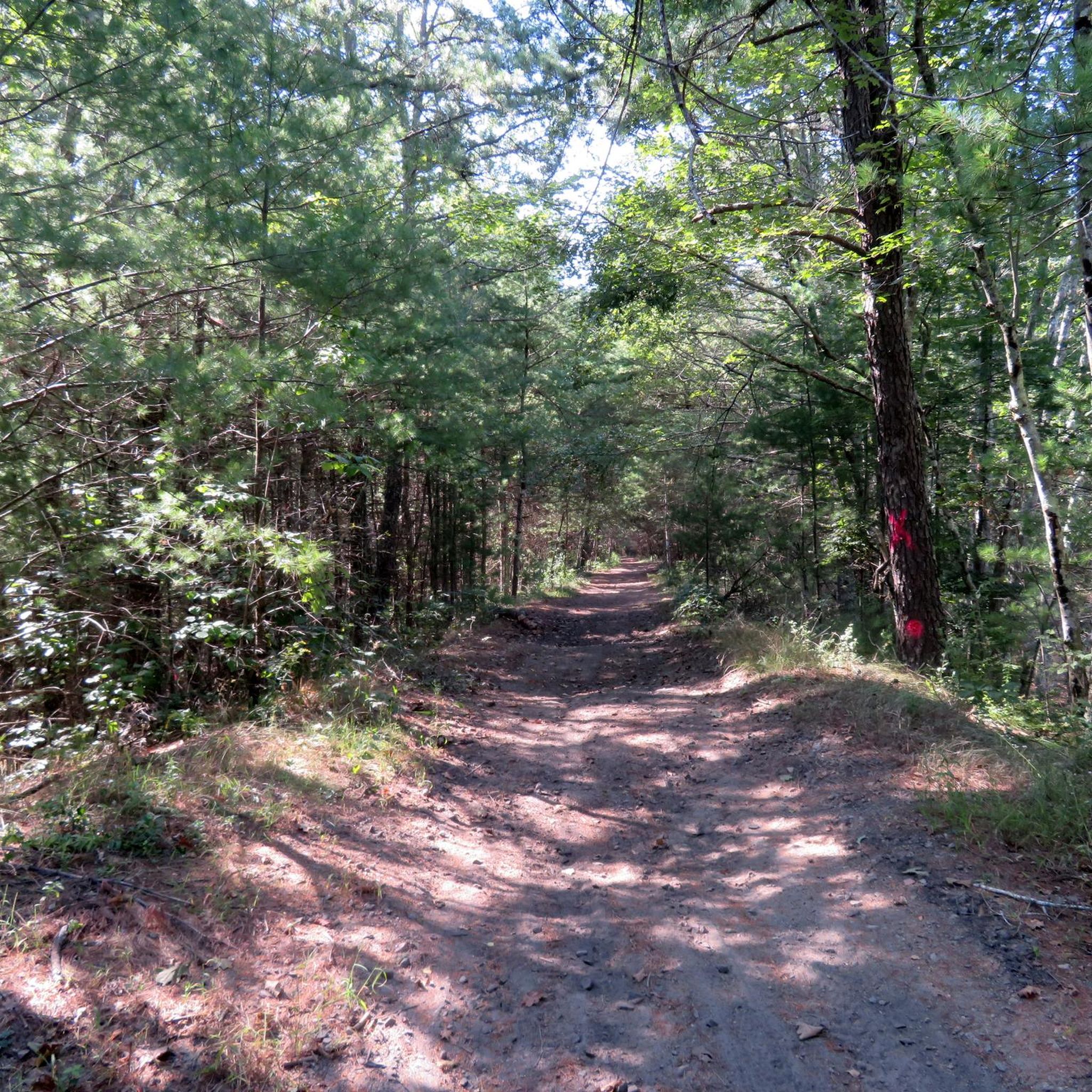
The Trestle Trail is best known for its 5-mile paved path that shares a route with the Coventry Greenway. This extra section west of the Moosup River leaves the pavement and becomes a rough double-track road. The path is utilized by hikers, runners, cyclists, and ATVs. It also offers access to the Carbuncle Pond area.
0
0
The Trestle Trail is best known for its 5-mile paved path that shares a route with the Coventry Greenway. This extra section west of the Moosup River leaves the pavement and become a rough double-track road. The path is utilized by hikers, runners, cyclists, and ATVs. It also offers access to the Carbuncle Pond area.
0
0
Frequently Asked Questions
Are dogs allowed on the trails in Moosup Valley State Park?
Yes, dogs are generally welcome on the trails in the Moosup Valley area, but they should be kept on a leash. The paths are wide and mostly flat, making them suitable for walking with your canine companion. Always be sure to clean up after your pet to keep the trails enjoyable for everyone.
What is the terrain like on the Moosup Valley State Park Trail?
The main trail follows a former railroad, so it's mostly flat and easy to navigate. You'll encounter a mix of surfaces, including paved asphalt near the Moosup village entrance, as well as sections of crushed stone and packed dirt as you move into more wooded areas. The routes run through forests and wetlands, often alongside the Moosup River.
Are there any family-friendly hikes in the area?
Most trails in the region are well-suited for families due to their gentle gradients. A great option is the Tillinghast Pond loop from Hopkins Hollow. It's a relatively short and easy walk that offers lovely pond views, making it an engaging and manageable outing for hikers of all ages.
Can I do a circular walk, or are the trails all one-way?
While the main Moosup Valley State Park Trail is a linear path, the surrounding area offers several excellent circular routes. For a pleasant loop through the woods, consider the Trestle Trail loop — Carbuncle Pond. This trail provides a complete circuit without the need to retrace your steps.
What is the history of the Moosup Valley State Park Trail?
The trail follows the historic path of the New York, New Haven and Hartford Railroad, which stopped running in 1968. As you hike, you'll see remnants of this past, including old trestle bridges, deep rock cuts made for the railway, and views of the area's former industrial mills.
How difficult are the hikes in Moosup Valley State Park Trail?
The vast majority of the hikes here are rated as easy. The trails are predominantly flat with very little elevation gain, making them accessible for beginners, families, and those looking for a relaxed walk. Out of the 10 official routes in the area, 9 are classified as easy.
Are there any waterfalls or interesting water features along the trails?
Yes, the trails offer several scenic water features. The main path follows the Moosup River for much of its length. About a mile in from the Moosup entrance, you'll find a dam and small falls. Additionally, routes like the Shepard Trail & Tillinghast Pond loop provide beautiful views of Sterling Pond and Tillinghast Pond.
Does the trail connect to other trail systems?
Yes, the Moosup Valley State Park Trail extends to the Connecticut-Rhode Island border, where it seamlessly connects to Rhode Island's Trestle Trail. This allows for a longer, multi-state journey if you wish to continue your hike eastward.
Where is the best place to park for the Moosup Valley State Park Trail?
There are several access points. A primary starting point with parking is located in the village of Moosup, near the beginning of the paved section of the trail off Withey Hill Road. You can also find access points where the trail intersects with local roads as it stretches towards the Rhode Island border.
What do other hikers think of the trails in this area?
The routes in Moosup Valley State Park Trail are highly regarded by the komoot community, with an average rating of 4.9 stars. Hikers often praise the peaceful, flat paths and the scenic beauty of the river and surrounding woodlands. The recent trail improvements have also been noted as a major plus.
Are there any longer hikes available in the region?
Yes, for those seeking a bit more distance, the Wickaboxet Trail loop is a great choice. At over 4 miles, it's one of the longer circular routes in the area, taking you through the forested Wickaboxet Management Area on a gentle path.
What kind of scenery can I expect besides the river?
Beyond the riverside paths, the trails offer a diverse landscape. You'll hike through deep forests, cross wetlands on boardwalks, and see dramatic geological features like the towering rock ledges cut for the original railroad. The Riverbank Forest View – Forest Path loop is a perfect example of a route that showcases these beautiful woodland settings.
Most popular routes in Moosup Valley State Park Trail

Get inspired with the komoot mobile app


Explore more
Browse the best Hikes in other regions.
