The best cycling routes in Talcott Mountain State Park
4.6
(94)
498
riders
43
rides
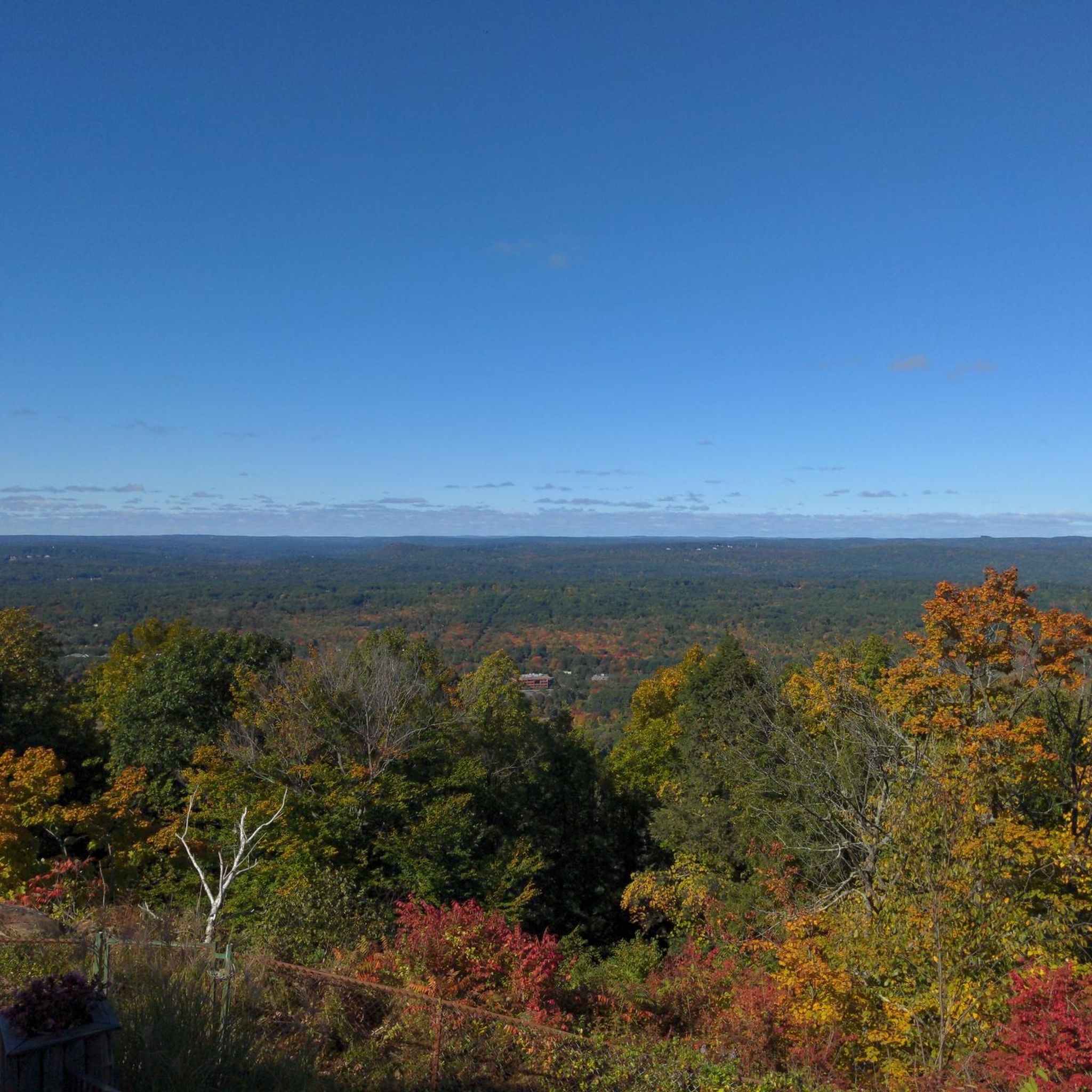
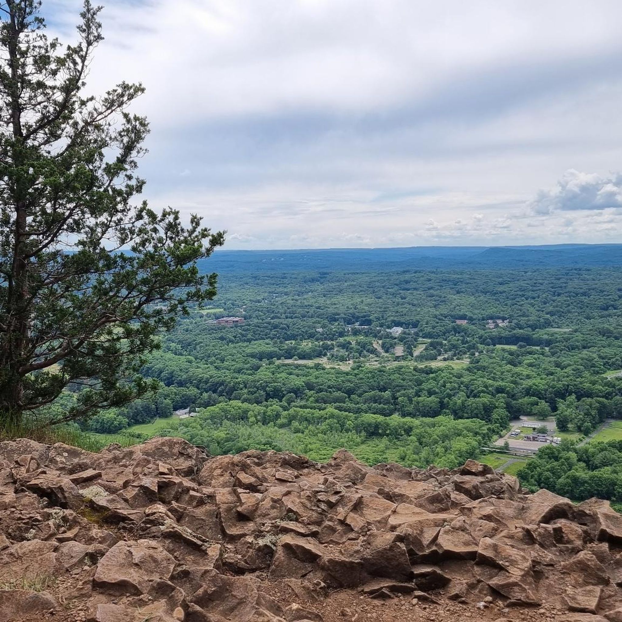
Touring cycling in Talcott Mountain State Park and its vicinity offers routes through a landscape characterized by the Metacomet Ridge, dense woodlands, and open meadows. The park itself features a 1,000-foot-high promontory providing expansive views of the Connecticut landscape. While primary trails within the state park are generally for foot traffic, the surrounding region provides a network of touring cycling routes, often on mostly paved surfaces. These routes navigate varied terrain, including gentle inclines and sections with moderate elevation changes.
…Last updated: July 7, 2026
5.64km
00:34
150m
150m
Easy bike ride. Great for any fitness level. Mostly paved surfaces. Suitable for all skill levels.
5.0
(4)
52
riders
44.4km
02:33
140m
140m
Moderate bike ride. Good fitness required. Mostly paved surfaces. Suitable for all skill levels.

Sign up for free
3
riders
23.9km
01:24
120m
120m
Easy bike ride. Great for any fitness level. Mostly paved surfaces. Suitable for all skill levels.
4.9
(27)
67
riders
56.7km
03:37
500m
500m
Hard bike ride. Very good fitness required. Mostly paved surfaces. Suitable for all skill levels.
5.0
(11)
38
riders
63.6km
03:41
220m
220m
Moderate bike ride. Good fitness required. Mostly paved surfaces. Suitable for all skill levels.
Get access to more routes and recommendations from other explorers.
Sign up for free
Already have an account?
Our route recommendations are based on thousands of hikes, rides, and runs completed by other people on komoot.
Start today with a free account
Your next adventure awaits.
Login or Signup
Tips from the Community


Believe it or not, tobacco used to be big business in Connecticut. The characteristic construction of these barns allowed enough airflow that the tobacco could be hung and air-dried within the shelter of the building.
0
0

The Farmington Canal Heritage Trail offers a scenic and easy ride through Cheshire and Hamden. These routes begin at the Lock 12 parking lot in Cheshire, following the original canal and rail line. The paved, mostly level trail is easy for biking and walking, with partial shade except during midday. Stretching 56 miles, the trail, along with the Farmington River Trail, forms one of New England’s most picturesque and historic greenways. Running through 11 Connecticut towns, the trail has been designated a Community Millennium Trail for its importance here to local communities.
0
0

The Farmington Canal Heritage Trail is over 80 miles in each direction and follows the path of an old railroad line. It's a great spot for biking and is suitable for pretty much all tire widths. This section near Simsbury connects to some of the other trails in town and passes through a few of the city's parks.
0
0

The Columbia Greenway Rail Trail is a part of the New Haven & Northampton Canal Greenway, an 81-mile multiuse trail. The Columbia Greenway Rail Trail is one of the few elevated urban rail trails in the United States. It follows the former New York/New Haven/Hartford Railroad.
0
0
New Haven and Northampton Canal Greenway is an 84-mile trail from New Haven, CT to Northampton, MA. The trail is completely paved and mostly on off-road paths. There are some points where the trail briefly joins up with quiet roads.
0
0
New Haven and Northampton Canal Greenway is an 84-mile trail from New Haven, CT to Northampton, MA. The trail is completely paved and mostly on off-road paths. There are some points where the trail briefly joins up with quiet roads.
0
0
Frequently Asked Questions
What kind of terrain can I expect on touring cycling routes around Talcott Mountain State Park?
The touring cycling routes in the vicinity of Talcott Mountain State Park primarily feature mostly paved surfaces, navigating through a landscape characterized by the Metacomet Ridge, dense woodlands, and open meadows. You'll encounter varied terrain, including gentle inclines and sections with moderate elevation changes, offering a good mix for touring cyclists.
Are there any easy touring cycling routes suitable for beginners or families?
Yes, there are several easy touring cycling routes. For instance, the Gail Pond to Heublein Tower — Talcott Mountain State Park route is an easy 3.5-mile path that leads to the historic Heublein Tower. Another easy option is the Tobacco barns – Trailside Gnome loop from East Weatogue Historic District, which is 17.6 miles long and takes you through agricultural areas.
What are the main attractions or landmarks I can see while cycling in the area?
The most prominent landmark is the historic Heublein Tower, a 165-foot-high structure offering breathtaking 360-degree panoramic views of the Connecticut landscape. On clear days, you can see the Hartford skyline, the Farmington River Valley, and distant peaks. While the tower itself is accessed via a walking trail, several cycling routes, like the Gail Pond to Heublein Tower route, bring you into its vicinity.
What is the best time of year to go touring cycling in Talcott Mountain State Park?
Talcott Mountain State Park offers different experiences throughout the year. Spring brings vibrant wildflowers, while summer provides lush greenery. The fall foliage is spectacular, making autumn a particularly popular time for scenic rides. Even winter offers opportunities for activities like cross-country skiing and snowshoeing, though cycling conditions would depend on snow cover.
Are there any longer touring cycling routes for more experienced riders?
Absolutely. For those seeking a longer ride, the View of the Farmington River – View of the Farmington River loop from Weatogue is a moderate 34.8-mile loop that provides extensive scenic views of the Farmington River valley. This route offers a more significant challenge with its distance and moderate elevation changes.
Can I find circular touring cycling routes in the Talcott Mountain area?
Yes, many of the touring cycling routes in the region are designed as loops. For example, the View of the Farmington River – View of the Farmington River loop from Weatogue and the Tobacco barns – Trailside Gnome loop from East Weatogue Historic District are both popular circular routes, allowing you to start and end at the same point.
What do other touring cyclists say about the routes in Talcott Mountain State Park?
The touring cycling routes in the Talcott Mountain State Park area are highly rated by the komoot community, with an average score of 4.6 stars from over 100 reviews. Cyclists often praise the varied terrain, the scenic views of the Farmington River valley, and the well-maintained paths that make for enjoyable rides.
Are there any specific routes that offer good viewpoints?
Many routes in the area offer excellent viewpoints, especially those that bring you closer to the Metacomet Ridge. The Gail Pond to Heublein Tower route, while primarily a walking trail to the very top, provides access to the Heublein Tower's observation deck, which offers unparalleled panoramic vistas of the surrounding Connecticut landscape.
Are there opportunities for wildlife observation while cycling?
The park and its surrounding areas are a vital natural sanctuary, supporting diverse wildlife such as deer, foxes, and rabbits. While cycling, you might also spot various bird species, especially during migratory seasons. The dense woodlands and open meadows along the routes provide habitats for these animals, offering opportunities for observation.
What are the parking options for accessing touring cycling routes?
While specific parking details for each route vary, many touring cycling routes in the Talcott Mountain State Park vicinity originate from or pass through areas with designated parking. For example, routes starting from Weatogue or East Weatogue Historic District typically have parking available nearby. It's always advisable to check the route details on komoot for specific starting points and parking information.
How many touring cycling routes are available in the Talcott Mountain State Park area?
There are over 45 touring cycling routes available in the Talcott Mountain State Park area, catering to various skill levels. This includes 18 easy routes, 24 moderate routes, and a few more challenging options, ensuring there's something for every touring cyclist.
Are the touring cycling routes suitable for road bikes, or are they more for mountain bikes?
The touring cycling routes listed are generally suitable for road bikes, as they feature mostly paved surfaces. However, it's important to note that while the immediate state park trails are for foot traffic, the surrounding region offers routes that accommodate touring bikes. Some routes might include short unpaved sections, so checking individual route descriptions on komoot is recommended.
Most popular routes in Talcott Mountain State Park

Get inspired with the komoot mobile app


Explore more
Browse the best Cycling routes in other regions.
