The best walks and hikes in Talcott Mountain State Park
4.6
(23)
502
hikers
10
hikes
Hiking in Talcott Mountain State Park explores the rugged terrain of the Metacomet Ridge in Connecticut. The area is characterized by forested paths, rocky ascents, and ridgeline trails. The park features a 1,000-foot promontory offering expansive views of the Connecticut landscape. The iconic Heublein Tower sits at an elevation of 1,000 feet (305 m) and is a central feature.
Best hiking trails in Talcott Mountain State Park
- The most popular hiking route is Viewpoint – Heublein Tower loop from Glover…
Last updated: June 24, 2026
5.0
(3)
86
hikers
3.79km
01:10
120m
50m
Moderate hike. Great for any fitness level. Mostly accessible paths. Sure-footedness required.
5.0
(1)
17
hikers
8.65km
02:30
220m
200m
Moderate hike. Good fitness required. Easily-accessible paths. Suitable for all skill levels.

Sign up for free
5.0
(1)
5
hikers
15.0km
04:25
370m
330m
Moderate hike. Good fitness required. Mostly accessible paths. Sure-footedness required.
5.0
(1)
11
hikers
6.84km
01:56
140m
140m
Easy hike. Great for any fitness level. Easily-accessible paths. Suitable for all skill levels.
10
hikers
10.5km
03:09
240m
250m
Moderate hike. Good fitness required. Mostly accessible paths. Sure-footedness required.
Get access to more routes and recommendations from other explorers.
Sign up for free
Already have an account?
Our route recommendations are based on thousands of hikes, rides, and runs completed by other people on komoot.
Start today with a free account
Your next adventure awaits.
Login or Signup
Tips from the Community

This 787-acres state park is located at the north end of Talcott Mountain State Park. The park offers picnic areas, numerous hiking trails, paved roads for cycling and fishing in the 2 ponds.
0
0

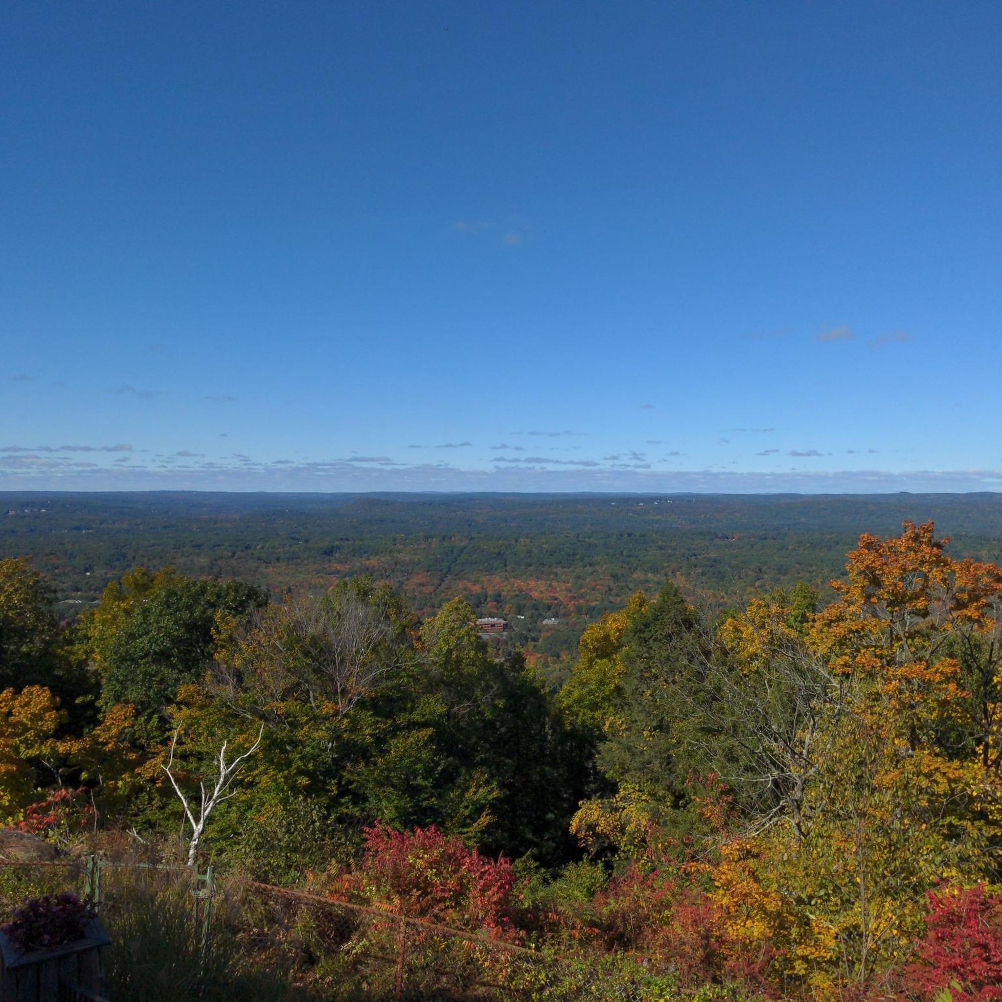
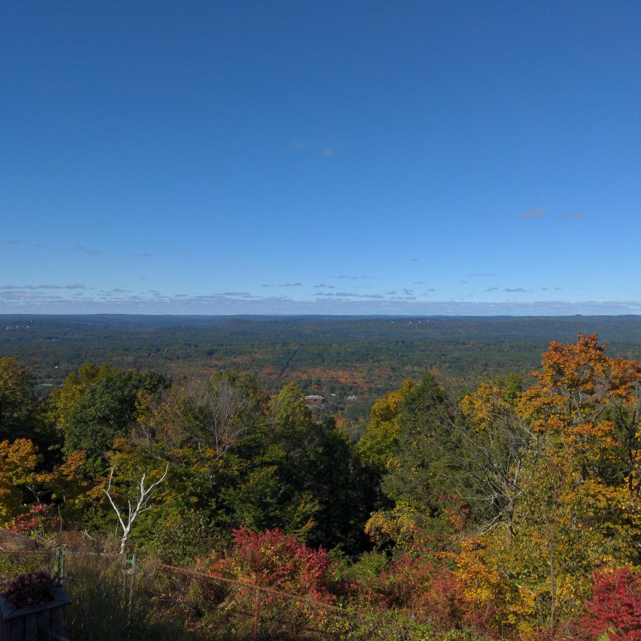
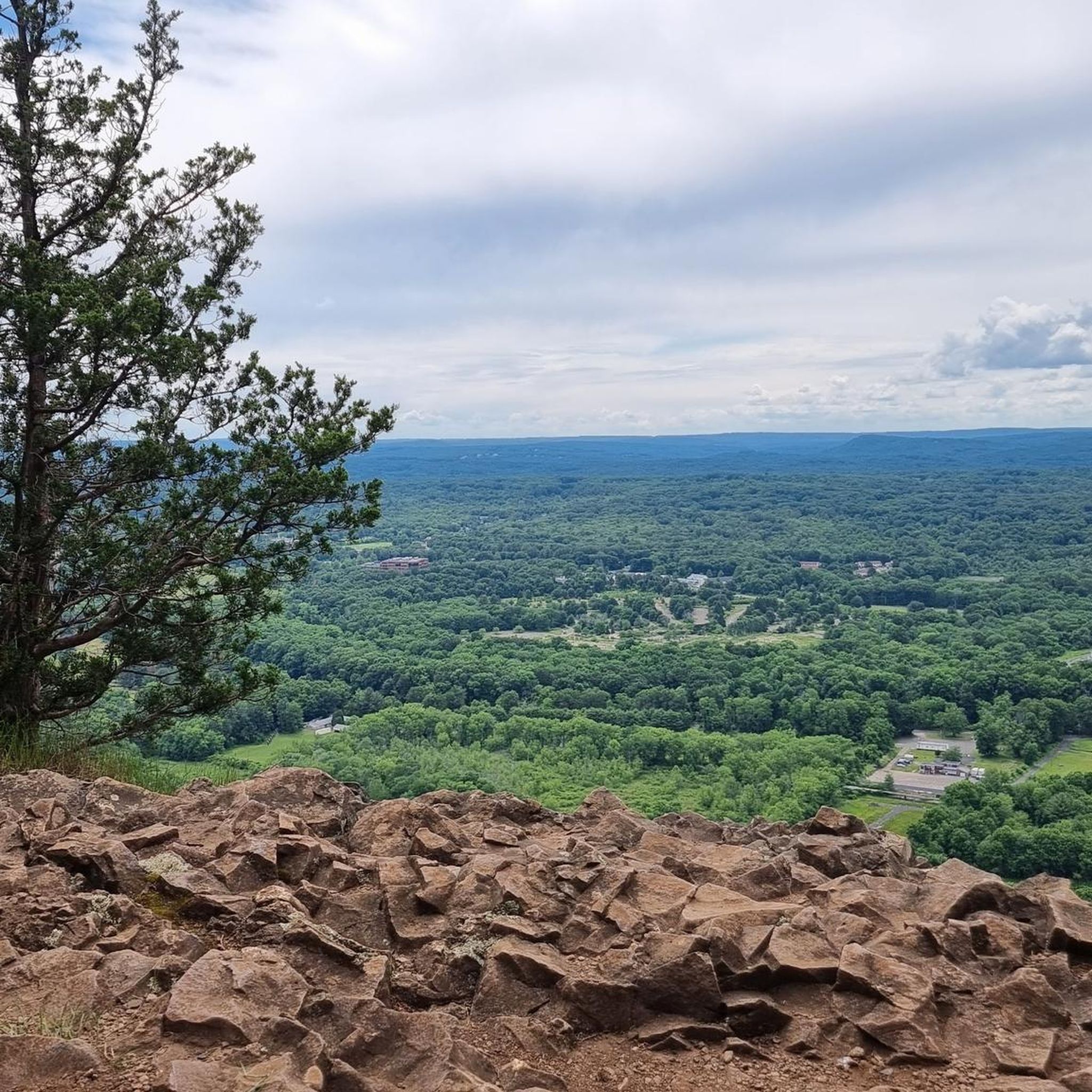
Great view from the peak onto Penwood State Park. It is definitely worth the effort that it takes to get to the top, as you are awarded with a great view of the valley that surrounds the park.
2
0
The tower was built by Gilbert Heublien, the previous owner of the land, to make good on a promise to his wife that he would build her a castle. In 1966, the State of Connecticut’s Department of Energy & Environmental Protection brought the land and the tower and opened it to the public in 1983. Now, the visitors can enter the tower and go to the top for a great view of Talcott Mountain State Park and the surrounding area.
1
0
Great view over Talcott Mountain State Park and the forests in the distance. It is a climb from Simsbury Road up to the viewing point, but it is well worth the effort.
0
0

Built in 1914, Heublein Tower offers gorgeous, panoramic views of the Hartford Skyline and the Farmington River Valley. Nestled in the trees along the New England National Scenic Trail, the tower can be easily reached by foot via Talcott State Park or West Hartford Reservoirs Recreation Area.
0
0


The 165-foot-tall tower soaring high above the treetops was built in 1914. Mr. Heublein, a German immigrant, designed the tower based on buildings from his hometown in Bavaria. You'll enjoy panoramic views of the Hartford skyline and the Farmington River Valley. When the surrounding trees turn all sorts of warm hues in the fall, the view is especially beautiful.
0
0
Frequently Asked Questions
Where is the best place to park for hiking in Talcott Mountain State Park?
The main parking area is located at the trailhead on Summit Ridge Drive in Simsbury. This lot provides the most direct access to the popular Tower Trail leading to Heublein Tower. Parking is limited and can fill up quickly, especially on weekends, so arriving early is a good idea.
Are dogs allowed on the trails?
Yes, dogs are welcome in Talcott Mountain State Park, but they must be kept on a leash at all times. Remember to bring water for your furry friend and to clean up after them to keep the park enjoyable for everyone.
Are there any easy, family-friendly hikes in the park?
While most trails involve some uphill sections, the park is popular with families. The main Tower Trail is a manageable ascent for active kids, leading to the exciting Heublein Tower. For a gentler walk with minimal elevation change, consider the Hartford Reservoir Number 6 loop via Metacomet Trail nearby, which offers a pleasant stroll.
How long does it take to hike to Heublein Tower?
The most direct route to Heublein Tower, the Tower Trail, is a 1.25-mile (2 km) path. For most hikers, the ascent takes approximately 30 to 40 minutes. The trail is steep and rocky in places, so be sure to wear appropriate footwear.
What are the opening hours for Heublein Tower?
The Heublein Tower is typically open seasonally, from late spring through fall. Hours can vary, so it's best to check the official Connecticut State Parks website for the most current schedule before your visit to ensure it will be open when you arrive at the summit.
Are there any loop trails available?
Yes, the park offers several excellent loop trails. A great option that explores the wider area is the Penwood State Park loop from Glover Preserve. This route connects different sections of the park for a varied and scenic hike.
Where can I find a trail map for Talcott Mountain State Park?
You can view and download an official trail map to plan your hike. A detailed PDF map is available from the Connecticut Department of Energy & Environmental Protection here: Talcott Mountain State Park Trail Map.
What is the Metacomet Trail like in this section?
The blue-blazed Metacomet Trail runs along the ridgeline through Talcott Mountain State Park. This section is known for its rugged, rocky terrain and offers some of the best scenic views in the park. It's more challenging than the main Tower Trail but rewards hikers with a more immersive woodland experience.
What kind of wildlife might I see in the park?
Talcott Mountain is a sanctuary for a variety of wildlife. It's common to see deer, foxes, and rabbits along the trails. The park is also a great spot for birdwatching, with species like turkey vultures, pileated woodpeckers, and even bald eagles sometimes spotted from the ridge.
Are there picnic areas in the park?
Yes, there are picnic tables and grills available, making it a great spot to enjoy a meal outdoors after your hike. These facilities are located near the main park entrance and parking area.
What do other hikers say about Talcott Mountain State Park?
The park is highly regarded by the komoot community, with an average rating of 4.7 stars. Hikers frequently praise the spectacular 360-degree views from Heublein Tower and the rewarding feeling of the climb to get there. The well-maintained, clearly marked trails are also a commonly mentioned highlight.
How many trails are in Talcott Mountain State Park?
There are over 30 different hiking routes to explore in and around Talcott Mountain State Park. These range from short, direct ascents to longer, more challenging loops that connect to adjacent parklands, offering options for various fitness levels and time commitments.
Most popular routes in Talcott Mountain State Park

Get inspired with the komoot mobile app


Explore more
Browse the best Hikes in other regions.
