West Thompson Dam Recreation Area
West Thompson Dam Recreation Area
The best road cycling routes in West Thompson Dam Recreation Area
4.5
(4)
52
riders
60
rides
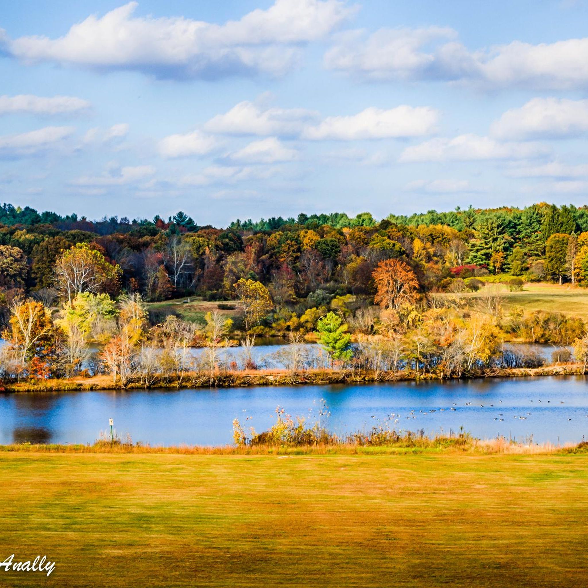
Road cycling routes in West Thompson Dam Recreation Area are characterized by diverse landscapes centered around the 200-acre West Thompson Lake and the Quinebaug River. The region features a mix of forested wetlands, open fields, and pine stands, providing varied scenery for road cyclists. The area, managed by Park Rangers, includes approximately 1,125 acres of forests with species such as eastern white pine and oak. Road cycling routes here offer varying lengths and difficulty levels, with mostly well-paved surfaces.
Best…
Last updated: October 5, 2026
6
riders
35.6km
01:43
260m
260m
Easy road ride. Great for any fitness level. Mostly well-paved surfaces and easy to ride.
8
riders
250km
11:18
2,330m
2,330m
Hard road ride. Very good fitness required. Some segments of this route may be unpaved and difficult to ride.

4
riders
60.0km
02:50
420m
420m
Moderate road ride. Good fitness required. Mostly well-paved surfaces and easy to ride.
3
riders
51.4km
02:30
410m
410m
Moderate road ride. Good fitness required. Mostly well-paved surfaces and easy to ride.
4.0
(1)
3
riders
48.3km
02:18
510m
510m
Moderate road ride. Good fitness required. Mostly well-paved surfaces and easy to ride.
Get access to more routes and recommendations from other explorers.
Already have an account?
Our route recommendations are based on thousands of hikes, rides, and runs completed by other people on komoot.
Start today with a free account
Your next adventure awaits.
Popular around West Thompson Dam Recreation Area

Tips from the Community

The Putnam River Trail is a 1.8 mile long paved trail. It is part of the East Coast Greenway Trail. As the name suggests, it follows along the Putnam River and gives you great views of the water.
0
0

Experience breathtaking views of the Quaddick Reservoir along this scenic route. The autumn foliage accentuates the beauty, with tree-lined roads making it the quintessential New England ride!
0
0
Thompson, a charming New England town. It was named after Sir Robert Thompson, an English landholder. There are a few historic buildings and a lovely church.
0
0
As you make your way across the bridge you will see Grosvenordale Mills located on the banks of the French River. It's a nice place for a stop!
0
0
At Cargill Falls, you'll find a dam and cascades right in the heart of the city. From the Pomfret Bridge on US-44, you can see the wide dam and several flowing channels clearly. An island splits the Quinebaug River and the dam, creating a beautiful display of cascades below as the river rushes to reconnect.
0
0
The Putnam River Trail is a 1.8 mile long paved trail. It is part of the East Coast Greenway Trail. As the name suggests, it follows along the Putnam River and gives you great views of the water.
1
0

Upper Westboro Reservoir is part of the Westboro Reservoir & Conservation Land. The lake is a peaceful place, surrounded with grassy areas and woodlands, providing a nice place for picnicking, fishing or simply enjoying a nice bike ride through the trail system that goes around the water.
0
0

There is a bit of everything here at Louisa Lake. It is a very scenic area and along with nearby Milford Pond, it provides a great venue for a variety of recreational activities, especially bicycling. Nearby is the Upper Charles Trail, a super good cycling trail.
0
0
Frequently Asked Questions
What kind of terrain can I expect on road cycling routes in West Thompson Dam Recreation Area?
The road cycling routes in West Thompson Dam Recreation Area offer diverse scenery, including picturesque water views around the 200-acre West Thompson Lake and the Quinebaug River. You'll also encounter forested wetlands, open fields, and serene pine stands. The routes generally feature mostly well-paved surfaces, suitable for various fitness levels.
Are there road cycling routes suitable for beginners or families in West Thompson Dam Recreation Area?
Yes, the area offers routes for all abilities. For an easy, family-friendly option, consider the Brandy Hill – Old Daniels Dam loop from Putnam. This 34.9 km route is suitable for any fitness level and provides diverse scenery, including lake views.
What are some notable natural features or landmarks I can see while road cycling in the area?
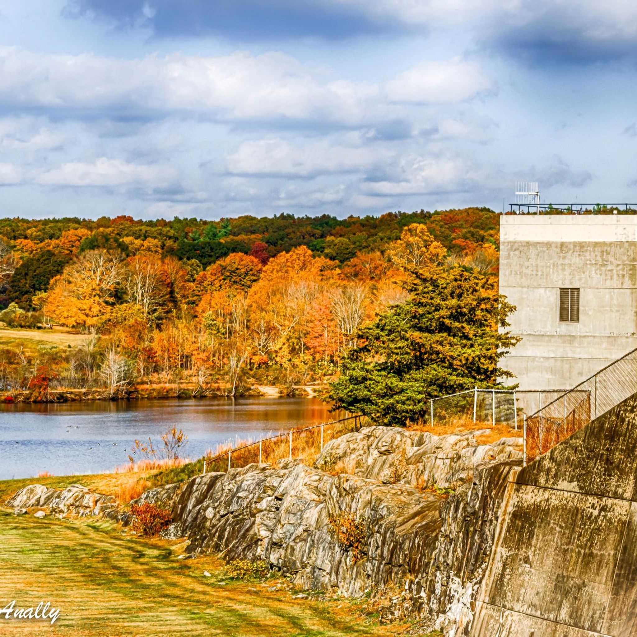
While cycling, you'll experience the beauty of the 200-acre West Thompson Lake and the Quinebaug River. The routes wind through approximately 1,125 acres of forests with species like eastern white pine, oak, and maple. Panoramic views of the area can also be enjoyed from the dam itself. You might also pass by the Cargill Falls Reservoir on routes like the Cargill Falls Reservoir – Putnam River Trail loop from Putnam.
How many road cycling routes are available in West Thompson Dam Recreation Area?
There are nearly 50 road cycling routes available in the West Thompson Dam Recreation Area, catering to a wide range of preferences and fitness levels. These include easy loops, moderate challenges, and some more difficult options.
What is the best time of year to go road cycling in West Thompson Dam Recreation Area?
The West Thompson Dam Recreation Area is beautiful year-round, but spring and fall generally offer the most pleasant temperatures for road cycling, with vibrant foliage in autumn and blooming nature in spring. Summer can also be excellent, though it's wise to plan rides for cooler parts of the day.
Are there any challenging road cycling routes for experienced riders?
Yes, for experienced riders seeking a challenge, there are more difficult options available. For example, the Mansfield Hollow Lake – Mansfield Hollow State Park loop from Putnam is a demanding 110.9 km route with significant elevation gain, requiring a high level of fitness.
What do other road cyclists say about the routes in West Thompson Dam Recreation Area?
The road cycling routes in West Thompson Dam Recreation Area are highly rated by the komoot community, with an average score of 4.7 stars. Cyclists often praise the varied terrain, well-maintained surfaces, and the scenic beauty of the lake and river views.
Where can I find parking for road cycling routes in the area?
The West Thompson Dam Recreation Area offers various facilities, including parking. Specific trailheads often have designated parking areas. It's advisable to check the starting point of your chosen route for the most convenient parking options.
Are there any amenities like cafes or accommodation near the road cycling routes?
While the recreation area itself focuses on outdoor activities, nearby towns like Putnam offer amenities such as cafes, pubs, and accommodation options. The West Thompson Lake Campground also provides campsites within the area for those looking to stay overnight.
Are there any loop routes for road cycling in West Thompson Dam Recreation Area?
Many of the road cycling routes in the area are designed as loops, offering a continuous scenic experience without retracing your path. Examples include the Tucker Preserve scenic road – Woodstock Avenue Open Space loop from Putnam and the Woodstock Avenue Open Space – Cargill Falls Reservoir loop from Putnam.
What is the typical duration for a moderate road cycling route in this region?
Moderate routes vary in length and duration. For instance, the Tucker Preserve scenic road – Woodstock Avenue Open Space loop from Putnam is a 31.9 km route that typically takes around 1 hour 40 minutes to complete, while the longer Cargill Falls Reservoir – Putnam River Trail loop from Putnam, at 60.0 km, usually takes about 2 hours 50 minutes.
Most popular routes in West Thompson Dam Recreation Area

Get inspired with the komoot mobile app


Explore more
Browse the best Road cycling routes in other regions.
