The best road cycling routes in Ashland State Park
4.4
(18)
387
riders
117
rides
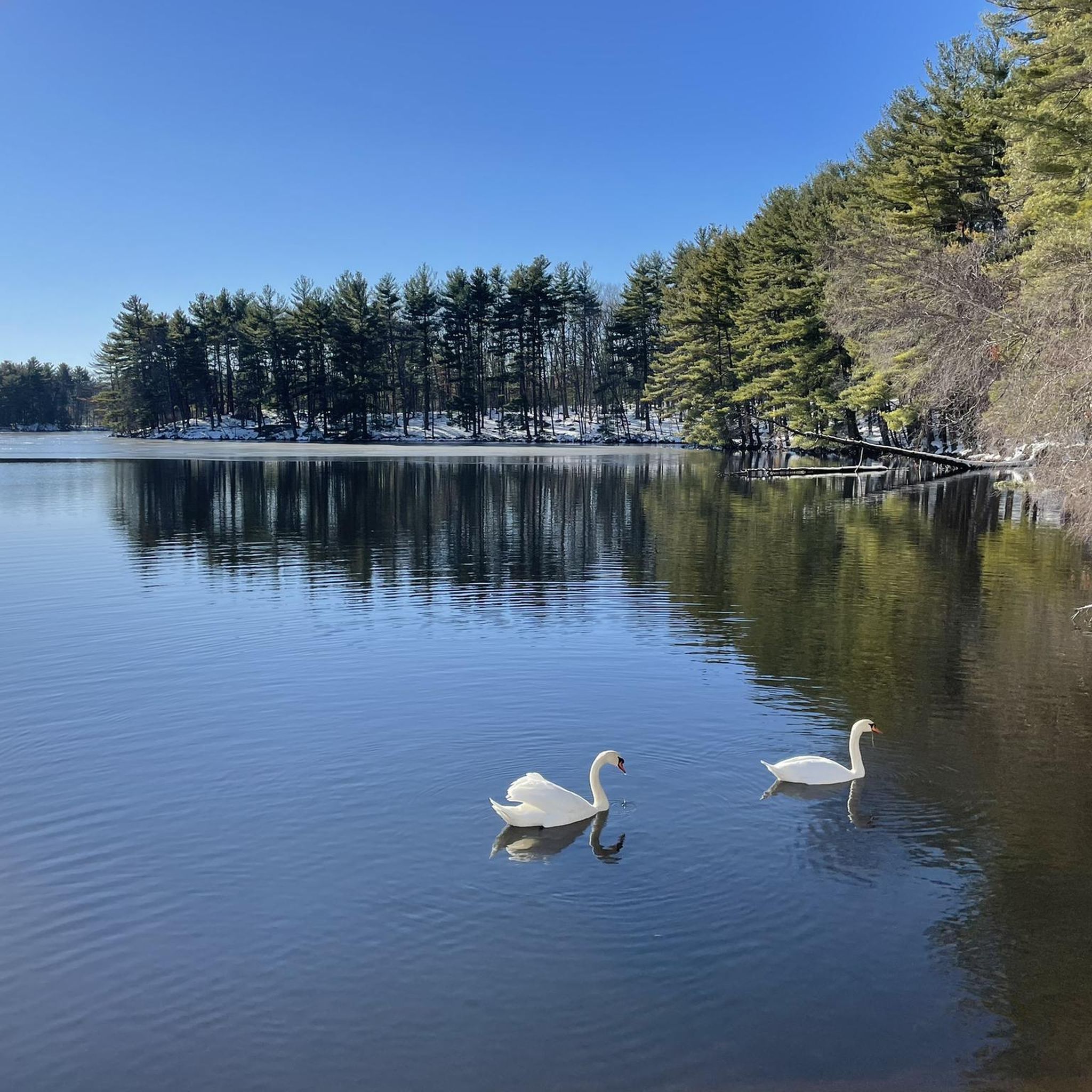
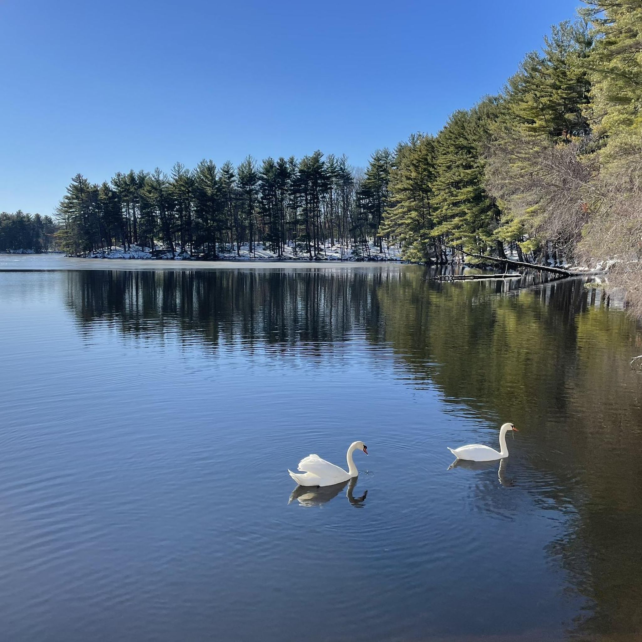
Road cycling in Ashland State Park features routes around the 157-acre Ashland Reservoir and through 470 acres of surrounding forest. The area includes paved roads within and leading to the park, connecting to a broader network in Ashland and Bayfield counties. The terrain is characterized by wooded areas and the presence of water bodies, offering varied road cycling experiences.
Best road cycling routes in Ashland State Park
- The most popular road cycling route is Charles River Dam and Weir – South Natick Dam and Park loop from Ashland, a 30.2 miles (48.6 km) trail that takes 2 hours 9 minutes to complete. This moderate route loops through areas featuring river and park landscapes.
- Another top favourite among local road cyclists is Hopkinton Reservoir – Sudbury River loop from Hopkinton State Park, a moderate 10.6 miles (17.0 km) path. This route offers views of reservoirs and river systems.
- Local road cyclists also love the Upper Charles Trail – Louisa Lake loop from Framingham, a 29.7 miles (47.8 km) trail leading through the Upper Charles Trail network and past Louisa Lake, often completed in about 2 hours 19 minutes.
- Road cycling in Ashland State Park is defined by routes around the Ashland Reservoir, through extensive forests, and along paved roads. The network offers options for easy, moderate, and difficult ability levels.
- The routes in Ashland State Park are highly rated by the komoot community with an average score of 4.25 stars from over 10 reviews. More than 300 road cyclists have used komoot to explore Ashland State Park's varied terrain.
Last updated: October 2, 2026
6
riders
48.6km
02:09
450m
450m
Moderate road ride. Good fitness required. Mostly well-paved surfaces and easy to ride.
53
riders
15.6km
01:37
180m
180m
Moderate road ride. Great for any fitness level. Some segments of this route may be unpaved and difficult to ride.

6
riders
47.6km
02:17
320m
320m
Moderate road ride. Good fitness required. Some segments of this route may be unpaved and difficult to ride.
5
riders
Easy road ride. Great for any fitness level. Mostly well-paved surfaces and easy to ride.
6
riders
114km
05:21
1,190m
1,190m
Hard road ride. Very good fitness required. Mostly well-paved surfaces and easy to ride.
Get access to more routes and recommendations from other explorers.
Already have an account?
Our route recommendations are based on thousands of hikes, rides, and runs completed by other people on komoot.
Start today with a free account
Your next adventure awaits.


Tips from the Community


The inn was first built in 1716, and is on the National Register of Historic Places. It remains a charming rustic hotel, restaurant, and venue, and features a number of freestanding historic buildings and grounds.
0
0

Parmeter Street is a quiet street that borders Pine Hill and the surrounding area on the eastern side of the Sudbury Reservoir.
1
0

The 48-mile Blackstone River flows through Massachusetts and Rhode Island before emptying into the Seekonk tidal river near Pawtucket. The original Native name for the river is "Kittacuck" which means the great tidal river.
1
0
Silver Lake and its town beach are open for swimming, picnicking, hiking and more throughout the summer. A fee is charged for residents for day use or for the season. Visitors can only buy the season pass, so unless you're staying for an extended time this might just be a nice spot to ride by.
1
0

There is a bit of everything here at Louisa Lake. It is a very scenic area and along with nearby Milford Pond, it provides a great venue for a variety of recreational activities, especially bicycling. Nearby is the Upper Charles Trail, a super good cycling trail.
0
0

Grafton is home to a number of historic buildings so while riding through the town there is plenty to look at. It is in the oldest industrialised area in the country and was named after Charles II's grandson the Duke of Grafton.
0
0

The Purgatory Chasm State Reservation area has unique geological formations and is open to the public as a recreational area. The main attraction is the chasm formed by ancient glaciers with towering granite walls. The chasm is popular for hiking, rock climbing, and nature viewing.
0
0
Frequently Asked Questions
What is the general difficulty level of road cycling routes in Ashland State Park?
Ashland State Park offers a range of road cycling routes suitable for various skill levels. You'll find 43 easy routes, 65 moderate routes, and 3 difficult routes, ensuring options for everyone from casual riders to experienced cyclists.
Are there road cycling routes suitable for beginners in Ashland State Park?
Yes, Ashland State Park has numerous options for beginners. There are 43 easy road cycling routes available. An example of an easy route is the Longfellow's Wayside Inn – Callahan State Park (entrance) loop from Framingham, which offers a gentle ride through scenic areas.
Can I find challenging road cycling routes in Ashland State Park?
For experienced road cyclists seeking a challenge, Ashland State Park and its surroundings offer difficult routes. One such route is the Louisa Lake – Sudbury Reservoir loop from Framingham, which covers over 100 kilometers and features significant elevation changes.
Are the road cycling routes in Ashland State Park family-friendly?
While the park's 3.5-mile to 4.6-mile loop around the reservoir is primarily for hiking and mountain biking, many paved roads within and leading to Ashland State Park are suitable for family road cycling. The developing Upper Charles Trail, with its asphalt and crushed stone surfaces, also offers a longer, family-friendly biking experience connecting Ashland with other communities.
Are dogs allowed on road cycling routes in Ashland State Park?
Ashland State Park is generally dog-friendly, with many trails allowing leashed pets. When road cycling, ensure your dog is safely leashed and under control, especially on shared paths or roads. Always check specific route regulations if you plan to bring your canine companion.
Where can I park when visiting Ashland State Park for road cycling?
Ashland State Park provides parking facilities for visitors. You can typically find parking areas near the main entrances or access points to the park. For specific access points and parking information, it's advisable to check local park signage or the Visit Ashland website.
What kind of scenery and landmarks can I expect to see while road cycling in Ashland State Park?
Road cycling in Ashland State Park offers diverse scenery. You'll ride around the 157-acre Ashland Reservoir, through 470 acres of forest with tall pine trees and ancient stone walls. Notable landmarks include the historic Ashland Dam and Spillway, completed in 1895, which is also listed on the National Register of Historic Places. Routes like the Hopkinton Reservoir – Sudbury River loop from Hopkinton State Park offer views of reservoirs and river systems.
Are there any loop road cycling routes in Ashland State Park?
Yes, many road cycling routes in and around Ashland State Park are designed as loops, allowing you to start and end at the same point. An example is the Charles River Dam and Weir – South Natick Dam and Park loop from Ashland, which takes you through river and park landscapes.
What is the best time of year for road cycling in Ashland State Park?
Ashland State Park offers beautiful scenery year-round. Spring brings wildflowers, summer is ideal for warm weather rides, and autumn showcases vibrant foliage. Even in winter, the trails are used for cross-country skiing, but road cycling is best enjoyed during the warmer months from spring through fall when conditions are most favorable and roads are clear.
Are there cafes or places to eat near the road cycling routes in Ashland State Park?
While Ashland State Park itself is primarily natural, the surrounding towns of Ashland and Framingham offer various cafes, restaurants, and amenities where you can refuel. Many routes pass through or near these communities, making it convenient to find a spot for a break or a meal.
How many road cycling routes are available in Ashland State Park?
There are over 110 road cycling routes available in Ashland State Park and its immediate vicinity, offering a wide variety of distances and difficulty levels for cyclists to explore.
What do other road cyclists say about their experience in Ashland State Park?
The road cycling routes in Ashland State Park are highly rated by the komoot community, with an average score of 4.25 stars from over 10 reviews. Cyclists often praise the varied terrain, the scenic views of the reservoir and forests, and the well-maintained paved roads that connect to broader networks.
Can I access the Upper Charles Trail from Ashland State Park?
Yes, the developing Upper Charles Trail, which features asphalt and crushed stone surfaces, connects Ashland with other communities and offers a longer biking experience. Routes like the Upper Charles Trail – Louisa Lake loop from Framingham utilize this network, providing access to extended cycling opportunities.
Most popular routes in Ashland State Park

Get inspired with the komoot mobile app


Explore more
Browse the best Road cycling routes in other regions.
