The best walks and hikes in Big South Fork National River And Recreation Area
4.8
(9)
147
hikers
33
hikes
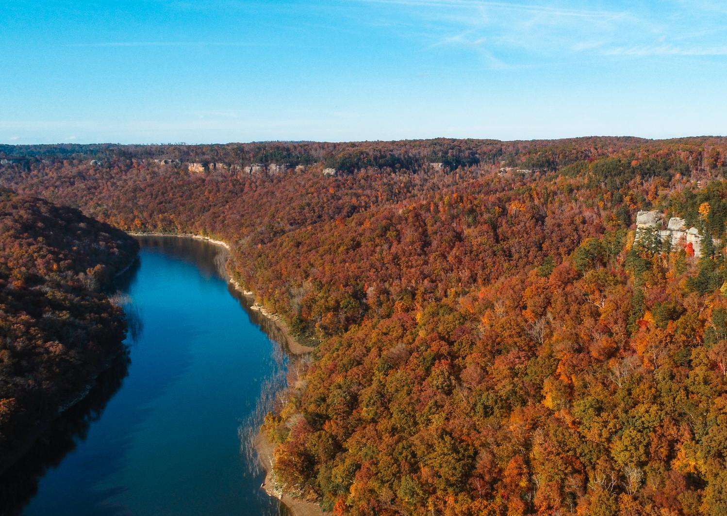
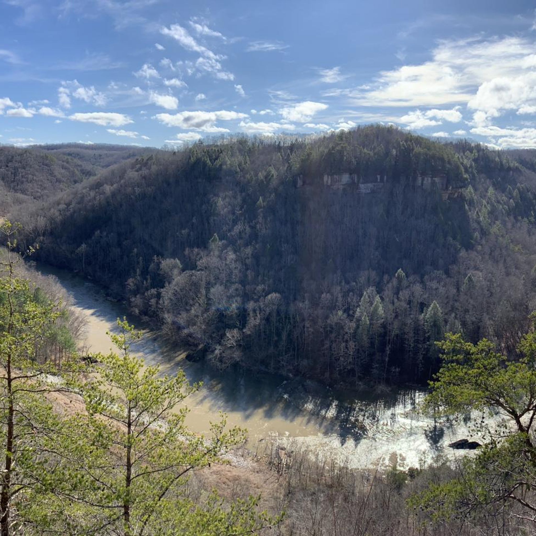
Hiking in Big South Fork National River and Recreation Area explores a landscape of rugged gorges and sandstone bluffs across the Cumberland Plateau. The area is characterized by its free-flowing rivers, dense forests, and a high concentration of natural sandstone arches. The trail network follows the Big South Fork of the Cumberland River and its tributaries, leading to features like waterfalls and rock shelters.
Best hiking trails in Big South Fork National River And Recreation Area
- The most popular hiking…
Last updated: May 13, 2026
2
hikers
3.90km
01:03
60m
40m
The John Muir Trail offers an easy hiking experience within the Big South Fork National River and Recreation Area. You will cover 2.4 miles (3.9 km) with a gentle elevation…
1
hikers
2.18km
00:34
20m
10m
Embark on an easy hike along the Sheltowee Trace Trail to Princess Falls, a route that winds through the scenic Daniel Boone National Forest. This pleasant journey covers 1.4 miles…

Sign up for free
4.0
(1)
1
hikers
10.4km
02:50
140m
150m
Embark on the Hurricane Ridge Trail, a moderate hiking route that guides you through diverse terrain, from paved sections to dirt paths winding through open subalpine meadows. As you hike,…
1
hikers
18.0km
05:01
320m
320m
Embark on the Grand Gap and John Litton Farm Loop, a challenging hike that immerses you in the rugged beauty of the Big South Fork National River and Recreation Area.…
5.88km
01:34
60m
70m
The Oscar Blevins Loop Trail offers an easy hike through mixed forests, perfect for a relaxed outing. You will cover 3.7 miles (5.9 km) with a gentle elevation gain of…
Get access to more routes and recommendations from other explorers.
Sign up for free
Already have an account?
Our route recommendations are based on thousands of hikes, rides, and runs completed by other people on komoot.
Start today with a free account
Your next adventure awaits.
Login or Signup
Popular around Big South Fork National River And Recreation Area
Other adventures in Big South Fork National River And Recreation Area

Tips from the Community

Julia Lynn Falls is a picturesque 21-foot plunge waterfall best visited after recent rainfall, as it tends to dry up during prolonged dry spells. A short 75-foot side trail leads you to the falls; the trail is well-marked and easily navigated.
0
0

Walk north a couple feet from the trailhead to see the ruins of an old rail bridge that stretches across the ford. You can walk on part of the bridge quite safely, though most of the middle is washed away. From here you can explore south along the river via the John Muir Trail and Leatherwood Trails, or head north to Angel Falls.
0
0
Frequently Asked Questions
Are dogs allowed on the hiking trails in Big South Fork?
Yes, Big South Fork is generally a pet-friendly park. Dogs are permitted on most trails as long as they are kept on a leash no longer than 6 feet (1.8 meters). It's always a good practice to check for specific trail regulations at visitor centers or trailheads before you start. For official park regulations, you can consult the National Park Service website.
What are the best waterfall hikes in the area?
The park is known for its beautiful waterfalls. For a rewarding hike that features a waterfall, consider the Slave Falls & Twin Arches loop. This route combines the scenic Slave Falls with the park's famous sandstone arches. Another popular destination is Yahoo Falls, the tallest waterfall in Kentucky, which is accessible via its own trail system.
Are there any easy, family-friendly hikes in Big South Fork?
Absolutely. The park offers several trails suitable for families and hikers of all ages. A great option is the Burnt Mill Loop Trail, which is a relatively flat and manageable walk along the river. Another choice is the short, 0.1-mile path to the East Rim Overlook, which provides stunning views with minimal effort.
Which trails are best for seeing the park's natural arches?
Big South Fork has one of the largest concentrations of natural sandstone arches in the eastern U.S. While the Twin Arches are the most famous, you can also explore other formations. The Split Bow Arch loop is another excellent trail specifically for viewing a magnificent arch, offering a different perspective on the park's unique geology.
What are the options for multi-day backpacking trips?
With over 350 miles of trails, Big South Fork is an excellent destination for backpacking. The Honey Creek Loop is a well-known, challenging 5.7-mile loop that can be extended for a longer trip and is considered one of the most rewarding hikes in the park. For multi-day excursions, hikers can connect various trails to create custom loops. Always register at a visitor center for an overnight backcountry permit.
How many hiking trails are in Big South Fork National River and Recreation Area?
There are over 20 marked hiking trails available in Big South Fork, covering a wide range of difficulties and lengths. The extensive network offers everything from short, easy walks to challenging multi-day backcountry treks through the rugged gorges and forests.
What do other hikers enjoy most about Big South Fork?
The area is highly rated by the komoot community. Reviewers often praise the park's stunning geological formations, particularly the numerous sandstone arches and rock shelters. The well-maintained and clearly marked trail system, combined with the scenic beauty of the river gorges, makes it a favorite among outdoor enthusiasts.
Where can I find the best scenic overlooks?
The park's dramatic gorges offer many spectacular viewpoints. The East Rim Overlook is one of the most accessible, providing panoramic views with just a short walk from the parking area. Other trails, like those around the Blue Heron area, also feature overlooks with impressive vistas of the Big South Fork of the Cumberland River.
What is the terrain like for hiking in Big South Fork?
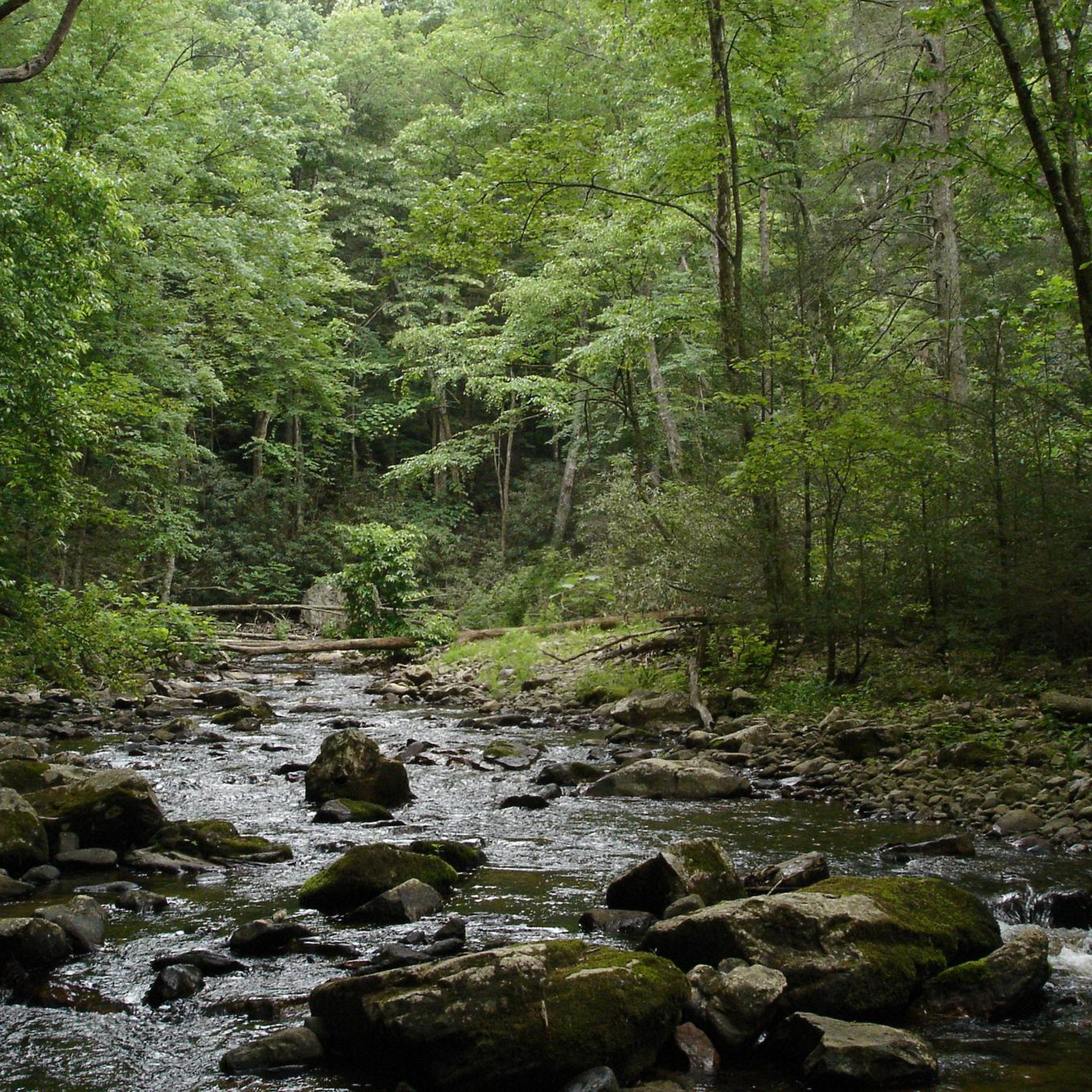
Hiking here involves navigating a diverse landscape. Expect trails that wind through dense forests, follow along the Big South Fork river, and descend into rugged gorges. Key features include sandstone bluffs, rock shelters, and creek crossings. While some trails are relatively flat, many involve steep ascents and descents, often with stone or wooden steps.
Are there any historical sites I can see while hiking?
Yes, you can combine history with hiking. The area around the Blue Heron Mining Community, also known as Mine 18, offers a glimpse into the region's coal mining past. The Oscar Blevins Farm Loop is another trail that leads to a historic homestead, allowing you to explore a preserved Appalachian farmstead from the early 20th century.
Where are the main parking areas for popular trailheads?
Major trailheads in Big South Fork have designated parking areas. You can find parking at the trailheads for Twin Arches, Leatherwood Ford (which serves the Angel Falls Trail), Bandy Creek, and the Blue Heron Mining Community. These lots can fill up on weekends, so arriving early is recommended.
Most popular routes in Big South Fork National River And Recreation Area
Most popular attractions in Big South Fork National River And Recreation Area

Get inspired with the komoot mobile app


Explore more
Browse the best Hikes in other regions.
