The best running trails in Lerderderg State Park
32
runners
6
runs
Jogging in Lerderderg State Park offers a diverse landscape characterized by the deep Lerderderg Gorge, carved through ancient sandstone and slate by the Lerderderg River. The region features a varied topography, transitioning from dry stringybark-box forests to box-ironbark woodlands on high ridges, and includes the volcanic cone of Mount Blackwood. This folding, hilly environment with exposed rocky outcrops provides a rugged and varied terrain for running routes.
Best jogging routes in Lerderderg State Park
- The most popular jogging route is Grahams Dam loop from Lerderderg Gorge Circuit, a 4.9 miles (7.9 km) trail that takes 1 hour 14 minutes to complete. This difficult route navigates through the dramatic gorge landscape.
- Another top favourite among local runners is Strachan Hill loop from Mount Blackwood, a difficult 6.2 miles (10.0 km) path. This route offers views from the volcanic cone of Mount Blackwood and features varied forest terrain.
- Local runners also love the Needles Beach – Lionhead Beach loop from Myrniong, a 4.7 miles (7.5 km) trail leading through river flats and past sandy beaches, often completed in about 1 hour 1 minute.
- Jogging in Lerderderg State Park is defined by its deep gorge, diverse forests, and hilly topography with rocky outcrops. The network of trails offers options for easy riverside strolls to challenging routes with significant elevation gains.
- The guide includes highly-rated routes that showcase the best of the region's landscape. More than 40 runners have used komoot to explore Lerderderg State Park's varied terrain.
Last updated: June 24, 2026
5
runners
9.99km
01:28
410m
410m
Hard run. Very good fitness required. Mostly paved surfaces. Suitable for all skill levels.
4
runners
5.26km
00:33
30m
30m
Moderate run. Good fitness required. Mostly paved surfaces. Suitable for all skill levels.

Sign up for free
11
runners
Hard run. Very good fitness required. Sure-footedness, sturdy shoes and alpine experience required.
4
runners
6.12km
00:39
30m
30m
Moderate run. Good fitness required. Mostly paved surfaces. Suitable for all skill levels.
4
runners
2.74km
00:20
0m
10m
Easy run. Great for any fitness level. Mostly paved surfaces. Suitable for all skill levels.
Our route recommendations are based on thousands of hikes, rides, and runs completed by other people on komoot.
Start today with a free account
Your next adventure awaits.
Login or Signup
Tips from the Community

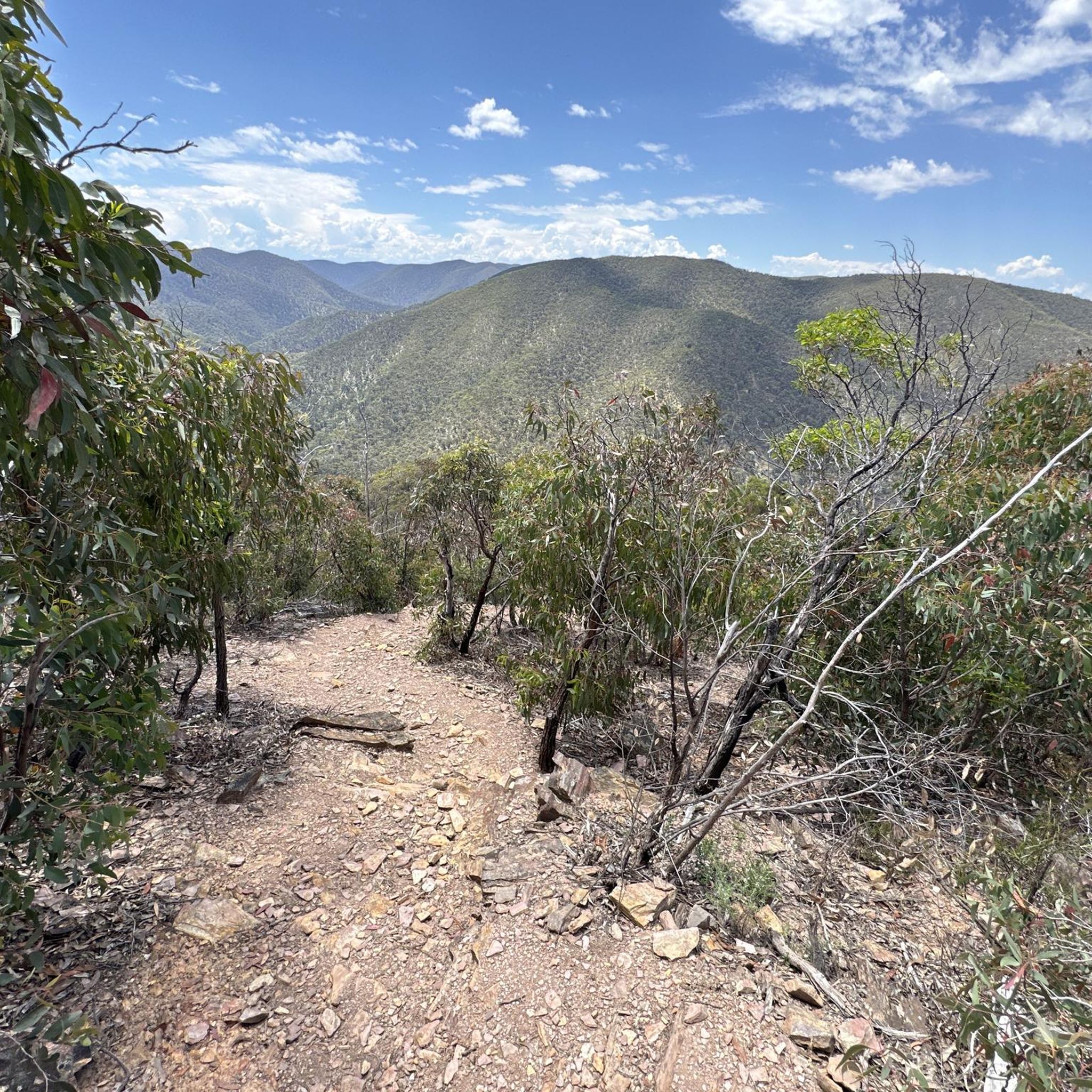
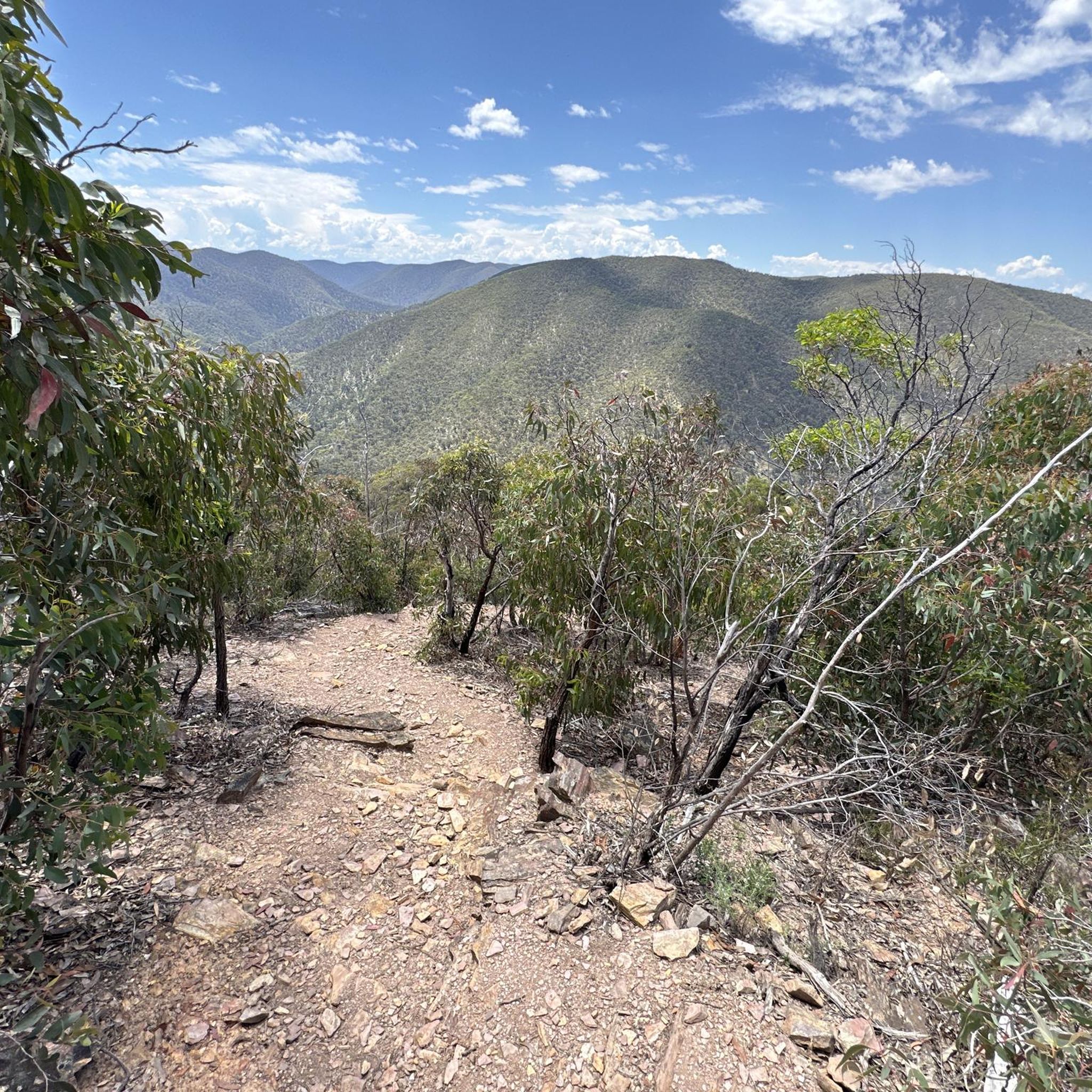
This lookout sits above the gorge, looking out across the Werribee River as it winds between steep cliffs and rocky ridgelines. It’s one of the higher viewpoints in the park, giving a clear sense of how deep and narrow the gorge is.
0
0
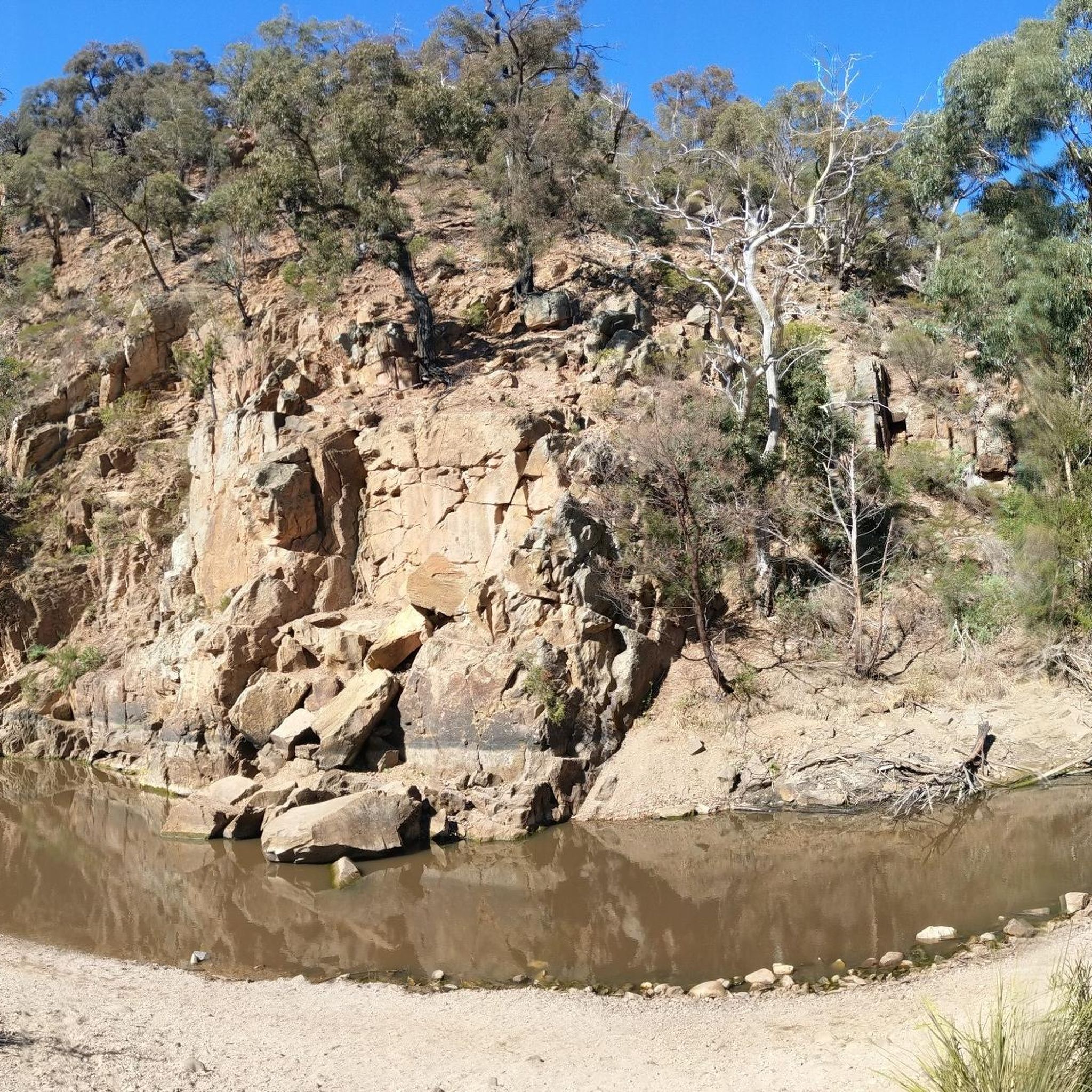
Werribee Gorge State Park is a rugged landscape shaped over hundreds of millions of years, with steep cliffs, rocky ridgelines, and the Werribee River cutting through the centre. Walking tracks here are more demanding, often involving uneven terrain, river crossings, and sections close to the cliff edge. The park is known for its dramatic views and rock formations, as well as designated climbing areas.
0
0

If you're walking in the recommended anti-clockwise direction then you've done most of the hard bits of the circuit by now, making this a perfect place to stop for a rest. You can have your lunch, go for a swim, or just enjoy the views before continuing on your way.
1
0
From here you have one of the best views on the Rim Walk, which is really saying something since there are so many great views along the trail.
0
0


Frequently Asked Questions
How many running routes are available in Lerderderg State Park?
There are over 8 running routes documented on komoot for Lerderderg State Park, catering to various fitness levels. These include easy riverside paths and more challenging trails through the gorge.
Are there easy running trails suitable for beginners or families?
Yes, Lerderderg State Park offers several easier options. For instance, the Running loop from Gisborne is an easy 4.1 km route, and the Running loop from Gisborne Secondary College is a moderate 5.3 km path, both suitable for a more relaxed jog.
What kind of terrain can I expect on the running routes in Lerderderg State Park?
The park's terrain is quite varied, ranging from flat paths along river flats to challenging sections with steep climbs, rocky outcrops, and uneven surfaces. You'll encounter ancient sandstone and slate in the gorge, dry stringybark-box forests, and box-ironbark woodlands on higher ridges. Some routes, like the Strachan Hill loop from Mount Blackwood, offer significant elevation changes.
Are there any circular running routes in Lerderderg State Park?
Yes, many of the running routes in Lerderderg State Park are circular. Popular options include the challenging Grahams Dam loop from Lerderderg Gorge Circuit, which is 7.9 km, and the Needles Beach – Lionhead Beach loop from Myrniong, a 7.5 km trail along the river.
What are the best times of year to go running in Lerderderg State Park?
Late winter and spring are particularly beautiful times to visit, as the park's diverse flora puts on spectacular wildflower displays. However, the park is suitable for running year-round, though conditions can vary. Always check local weather forecasts, especially during summer for heat and fire risk, and winter for cooler, potentially wetter conditions.
Are there any viewpoints or natural attractions along the running routes?
Absolutely. The park is defined by the dramatic 300 to 400-meter-deep Lerderderg Gorge, carved by the Lerderderg River. The volcanic cone of Mount Blackwood offers sweeping panoramic views over the state park and the adjacent Wombat State Forest. You'll also find diverse vegetation, from riverine forests to dry woodlands, and the Lerderderg River itself with its rocky boulders and occasional sandy beaches.
Can I spot any wildlife while running in Lerderderg State Park?
Yes, Lerderderg State Park is rich in wildlife. You might encounter koalas, Eastern grey kangaroos, swamp wallabies, and echidnas during the day. The park is also known for its birdwatching opportunities, with species like sulphur-crested cockatoos, wedge-tailed eagles, honeyeaters, and the powerful owl.
Are there any historical sites or goldmining relics to see?
Yes, the park has a fascinating history. You can discover numerous goldmining relics scattered throughout, including old water races (many now forming walking trails), eroded gullies, mine shafts, and remnants of stone dwellings, offering a glimpse into the region's past.
Where can I find parking for the running trails in Lerderderg State Park?
Popular access points with amenities often include Mackenzies Flat Picnic Area and O'Briens Crossing, which typically offer parking facilities. It's advisable to check specific trailheads for parking availability before your visit.
Is public transport available to reach the trailheads in Lerderderg State Park?
Lerderderg State Park is primarily accessed by car. While some routes might start closer to towns with limited public transport options, direct public transport to most trailheads within the park is generally not available. Planning for private vehicle access is recommended.
What do other runners enjoy most about jogging in Lerderderg State Park?
Runners often praise the park's rugged beauty, the remote feel of the Lerderderg Gorge, and the variety of trails that cater to different fitness levels. The diverse landscapes, from river flats to high ridges, and the chance to spot wildlife are frequently highlighted as enjoyable aspects of running here. Over 80 runners have used komoot to explore the park's varied terrain.
Are there any picnic areas or facilities available in the park?
Yes, several picnic areas are available. Mackenzies Flat Picnic Area is a popular spot with amenities like toilets and picnic tables. O'Briens Crossing also offers picnic spots and camping facilities, though self-sufficiency is required for campers. Another option for picnicking is Shaws Lake.
Most popular routes in Lerderderg State Park
Most popular attractions in Lerderderg State Park

Get inspired with the komoot mobile app


Explore more
Browse the best Running Trails & Routes in other regions.
