The best road cycling routes in Lerderderg State Park
5.0
(3)
121
riders
5
rides
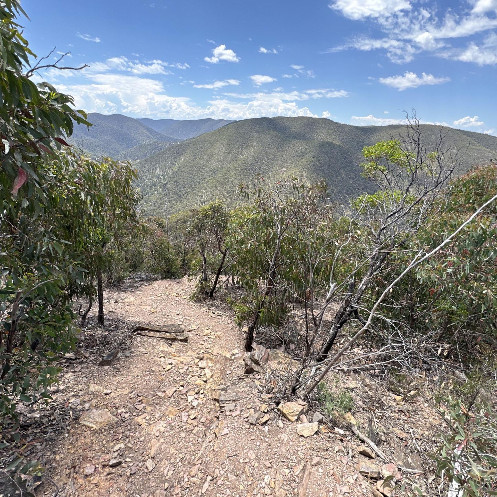
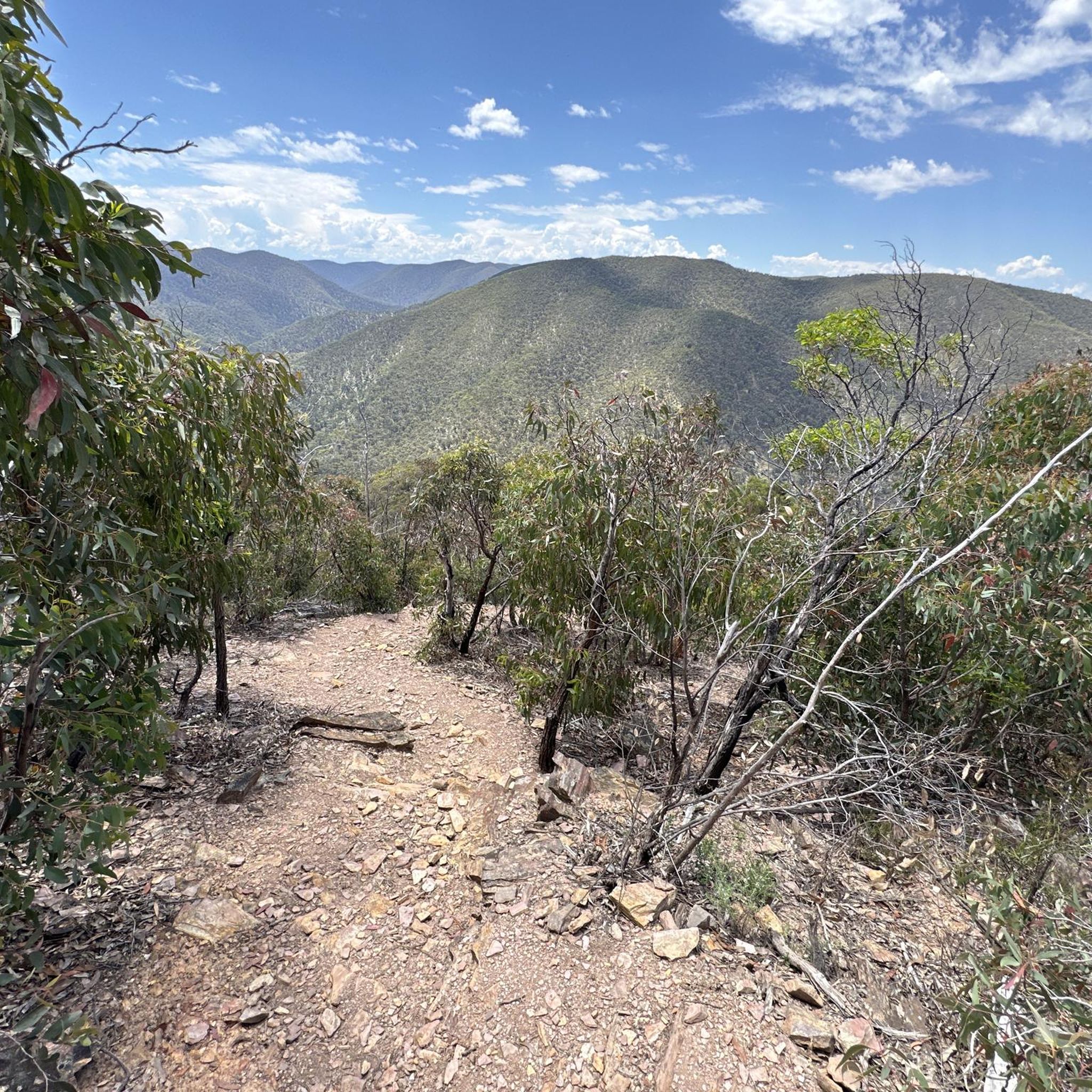
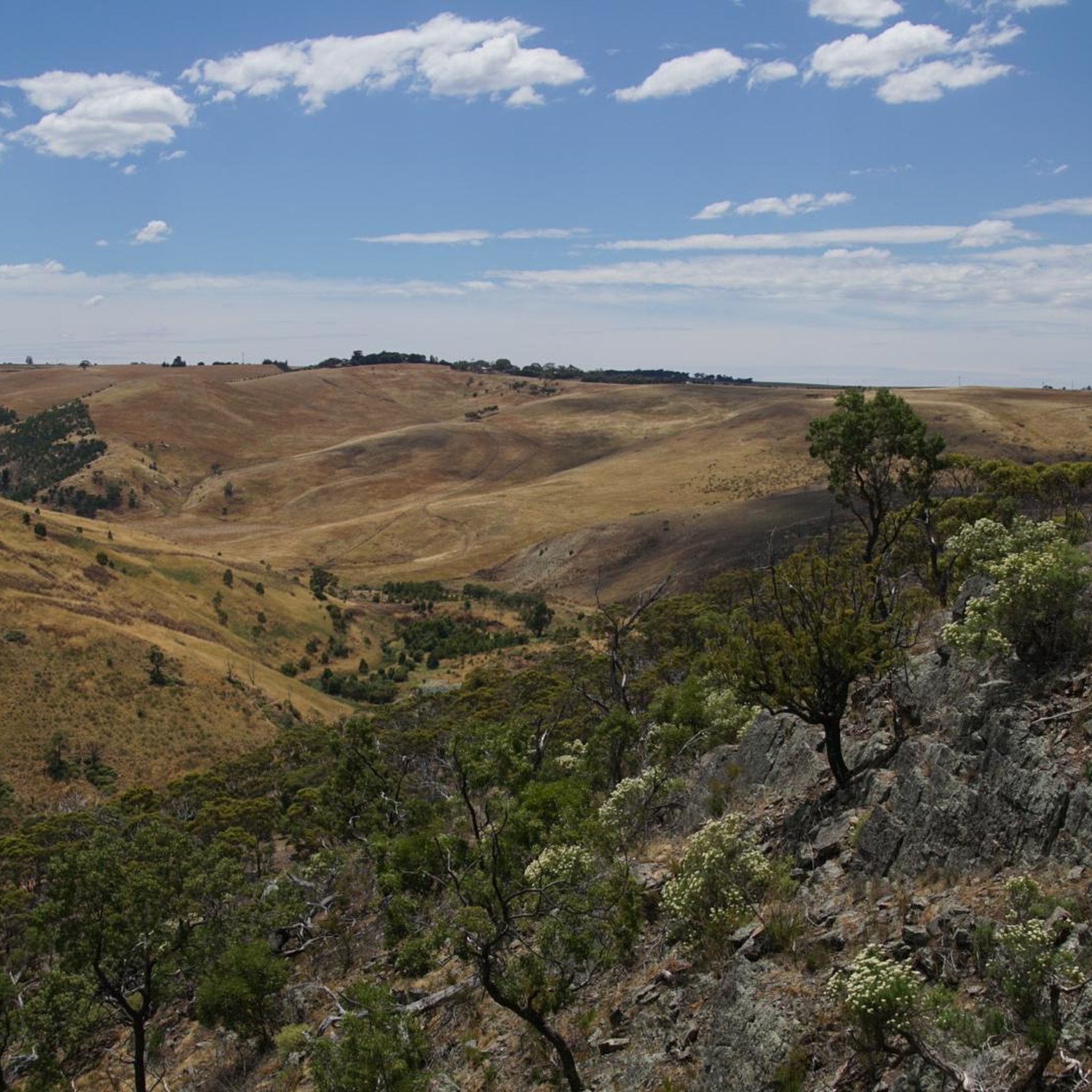
Road cycling in Lerderderg State Park offers routes through a diverse and rugged landscape, characterized by the dramatic Lerderderg Gorge and the volcanic cone of Mount Blackwood. The park's topography includes the Pyrete Range and features unsealed roads, such as O'Briens Road, which are suitable for adventurous road cycling and gravel riding. These routes often follow ridgelines, providing views before descending into gully crossings, and pass by historic goldmining relics. The varied terrain presents opportunities for both moderate and challenging rides.
Best road cycling routes in Lerderderg State Park
- The most popular road cycling route is Macedon Cemetery loop from Gisborne, a 39.9 miles (64.4 km) trail that takes 2 hours 49 minutes to complete. This moderate route features significant elevation gain through the region's varied terrain.
- Another top favourite among local road cyclists is Trilogy Lake North – Pierce Reservoir loop from Gisborne, a moderate 15.2 miles (24.4 km) path. This route offers a scenic ride around local reservoirs and through the surrounding landscape.
- Local road cyclists also love the Macedon Cemetery loop from Gisborne (New Gisborne), a 27.7 miles (44.5 km) trail leading through the area's rolling hills and rural roads, often completed in about 2 hours 15 minutes.
- Road cycling in Lerderderg State Park is defined by rugged gorges, volcanic hills, and historic goldmining relics. The network offers options for different ability levels, from moderate loops to more challenging rides with significant climbs.
- The routes in Lerderderg State Park are highly rated by the komoot community with an average score of 5.0 stars from a few reviews. More than over a hundred road cyclists have used komoot to explore Lerderderg State Park's varied terrain.
Last updated: July 10, 2026
30
riders
35.3km
02:01
450m
450m
Moderate road ride. Good fitness required. Some segments of this route may be unpaved and difficult to ride.
5.0
(1)
16
riders
24.4km
01:08
220m
220m
Easy road ride. Great for any fitness level. Mostly well-paved surfaces and easy to ride.

Sign up for free
5.0
(2)
56
riders
44.5km
02:15
690m
690m
Moderate road ride. Good fitness required. Mostly well-paved surfaces and easy to ride.
10
riders
64.4km
02:47
550m
550m
Moderate road ride. Good fitness required. Mostly well-paved surfaces and easy to ride.
9
riders
39.4km
01:43
290m
290m
Easy road ride. Great for any fitness level. Mostly well-paved surfaces and easy to ride.
Our route recommendations are based on thousands of hikes, rides, and runs completed by other people on komoot.
Start today with a free account
Your next adventure awaits.
Login or Signup
Popular around Lerderderg State Park
Tips from the Community

A common place to park is along Mount Macedon Road near the intersection with Anzac Road, where parking is usually unrestricted. If spaces are limited, another option is to park along Douglas Road. Be aware that some sections of Mount Macedon Road closer to the Mount Macedon Hotel have two-hour parking limits, so check the signs before leaving your car.
0
0

Frequently Asked Questions
What kind of terrain can I expect when road cycling in Lerderderg State Park?
Lerderderg State Park offers a diverse and rugged landscape for road cycling. While traditional smooth-road cycling is limited, the park features unsealed roads, such as O'Briens Road, which are suitable for adventurous road cycling and gravel riding. These routes often follow ridgelines, providing views before descending into gully crossings, and can include steep and rocky sections. You'll encounter a mix of challenging climbs and scenic descents.
Are there routes suitable for less experienced road cyclists?
Yes, there are options for various skill levels. For an easier ride, consider the Stonehill Lake loop from Bacchus Marsh, which covers 39.3 km with moderate elevation gain. Most routes in the park are rated as moderate, offering a good balance of challenge and accessibility.
What natural features and landmarks can I see while cycling in the park?
The park is rich in natural beauty and history. You can cycle past the dramatic Lerderderg Gorge, carved by the Lerderderg River, and enjoy panoramic views from the volcanic cone of Mount Blackwood. The routes also feature historic goldmining relics, including old water races and mine shafts, providing a glimpse into the region's past. Keep an eye out for native wildlife like koalas and kangaroos.
What do other road cyclists enjoy most about the routes in Lerderderg State Park?
The routes in Lerderderg State Park are highly rated by the komoot community, with an average score of 5.0 stars. Reviewers often praise the varied terrain, the sense of adventure on the unsealed roads, and the beautiful natural scenery, including the rugged gorges and historic goldmining sites.
Are there any loop routes available for road cycling?
Yes, many of the road cycling routes in Lerderderg State Park are designed as loops. For example, the popular Macedon Cemetery loop from Macedon is a 62 km route with significant elevation, offering a comprehensive tour of the area's diverse landscape.
Can I find family-friendly road cycling options in Lerderderg State Park?
While many routes involve unsealed roads and significant elevation, some areas like Mackenzies Flat Picnic Area offer gentler access to the Lerderderg River, which could be suitable for short, leisurely rides or walks with families. For dedicated family-friendly cycling, consider routes with less challenging terrain and elevation, such as the Stonehill Lake loop from Bacchus Marsh, which is rated as easy.
What is the best time of year to go road cycling in Lerderderg State Park?
The park's diverse vegetation, including spectacular displays of wildflowers, makes late winter and spring particularly vibrant. However, the rugged terrain means conditions can vary. Always check local weather and road conditions before heading out, especially during extreme heat in summer or after heavy rains which can affect unsealed surfaces.
Where can I park my car when visiting Lerderderg State Park for cycling?
Popular access points like Mackenzies Flat Picnic Area and O'Briens Crossing offer parking facilities. These are good starting points for many routes and provide amenities for visitors. Always ensure you park in designated areas.
Are there any cafes or pubs near the cycling routes in Lerderderg State Park?
Lerderderg State Park itself is a rugged natural area with limited commercial facilities. However, towns surrounding the park, such as Gisborne and Bacchus Marsh, which serve as starting points for some routes like the Trilogy Lake North – Pierce Reservoir loop from Gisborne, offer cafes, pubs, and other amenities for pre- or post-ride refreshments.
What are the regulations for cycling with dogs in Lerderderg State Park?
Lerderderg State Park has specific regulations regarding pets to protect its native wildlife. Dogs are generally permitted in certain areas but must be on a leash at all times. It's always best to check the latest guidelines from Parks Victoria before your visit to ensure compliance. You can find detailed information on their official website: Lerderderg State Park Visitor Guide.
How long do road cycling routes typically take in Lerderderg State Park?
The duration of road cycling routes varies significantly based on distance, elevation, and your pace. For instance, the Macedon Cemetery loop from Gisborne (New Gisborne), covering 44.5 km, typically takes around 2 hours and 15 minutes. Longer routes, like the 64.4 km Macedon Cemetery loop from Gisborne, can take over 2 hours and 45 minutes.
Most popular routes in Lerderderg State Park
Most popular attractions in Lerderderg State Park

Get inspired with the komoot mobile app


Explore more
Browse the best Road cycling routes in other regions.
