The best running trails in Warrandyte State Park
5.0
(2)
584
runners
51
runs
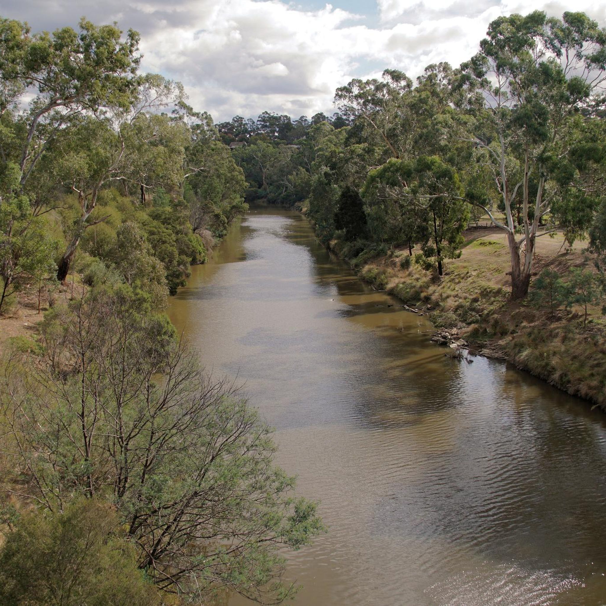
Jogging in Warrandyte State Park offers a diverse environment characterized by the rugged Yarra River gorge, winding paths along lightly wooded banks, and dense bush areas. The terrain includes gum-forested alluvial flats, steep slopes with dry forest vegetation, and a mix of surfaces from stable asphalt to rocky sections. This varied landscape provides a stimulating experience for runners, incorporating river views, cliffs, and natural bushland.
Best jogging routes in Warrandyte State Park
- The most popular jogging route is Yarra River – Mount Lofty Park loop from Neil Douglas Natural Features Reserve, a 3.7 miles (6.0 km) trail that takes about 40 minutes to complete. This route includes an ascent to Mount Lofty, offering panoramic views of the river and surrounding ranges.
- Another top favourite among local runners is Warrandyte River Reserve loop from Warrandyte State Park, a moderate 3.7 miles (6.0 km) path. This trail follows the Yarra River, providing picturesque water views and a tranquil atmosphere.
- Local runners also love the Douglas Maggs Reserve – Mullum Mullum Creek Reserve loop from Warranwood, a 13.1 miles (21.0 km) trail leading through varied bushland and river corridors, often completed in about 2 hours 15 minutes.
- Jogging in Warrandyte State Park is defined by the Yarra River gorge, gum-forested alluvial flats, and steep slopes with dry forest vegetation. The network offers options for different ability levels, from moderate riverbank runs to more challenging hilly routes.
- The routes in Warrandyte State Park are highly rated by the komoot community with an average score of 5.0 stars from over 1 review. More than 600 runners have used komoot to explore Warrandyte State Park's varied terrain.
Last updated: July 8, 2026
10
runners
5.99km
00:40
40m
40m
Moderate run. Good fitness required. Mostly paved surfaces. Suitable for all skill levels.
27
runners
17.6km
01:51
140m
150m
Hard run. Very good fitness required. Mostly paved surfaces. Suitable for all skill levels.

Sign up for free
4
runners
22.2km
02:21
220m
230m
Hard run. Very good fitness required. Mostly paved surfaces. Suitable for all skill levels.
3
runners
5.08km
00:32
70m
80m
Moderate run. Good fitness required. Mostly paved surfaces. Suitable for all skill levels.
33
runners
10.7km
01:08
110m
110m
Moderate run. Good fitness required. Mostly paved surfaces. Suitable for all skill levels.
Get access to more routes and recommendations from other explorers.
Sign up for free
Already have an account?
Our route recommendations are based on thousands of hikes, rides, and runs completed by other people on komoot.
Start today with a free account
Your next adventure awaits.
Login or Signup
Tips from the Community

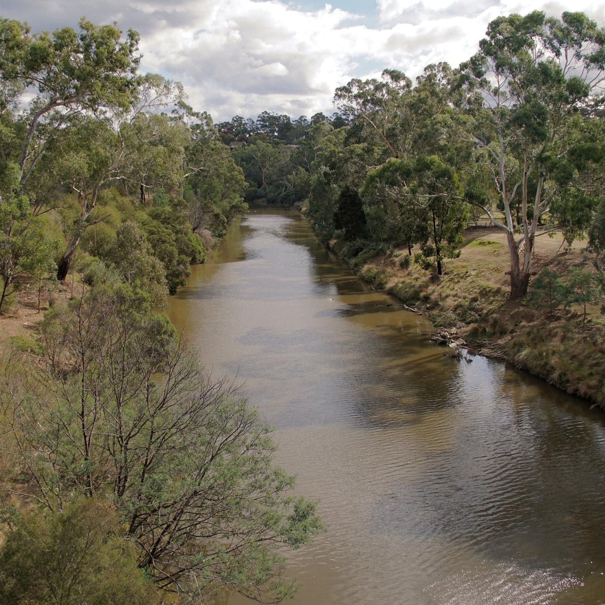
The Maroondah Aqueduct is a historic water channel built in the late 19th century to transport water from the Maroondah Reservoir to Melbourne. The long open channel winds quietly through bushland and suburban reserves, tracing a gentle line across the landscape. Although no longer used for Melbourne’s water supply, today it's a reminder of Melbourne’s early water engineering and creates a unique corridor where history and nature meet.
0
0
This junction marks where the Maroondah Aqueduct Trail meets the Diamond Creek Trail, and is a convenient connection between the aqueduct corridor and the creekside trail that follows Diamond Creek. From here, you can extend your route by continuing along the Diamond Creek Trail through bushland and open park areas.
0
0
Maroondah Aqueduct Trail is an easy walking and cycling path that follows the route of the historic Maroondah Aqueduct through bushland and open reserves in Melbourne’s northeast. The mostly flat trail runs alongside the old water channel, passing through forested sections, grassy corridors, and quiet suburban parkland. Its easy gradient and peaceful setting make it popular with walkers, runners, and cyclists, and it is an ideal route for a relaxed nature walk close to the city.
0
0
Mullum Mullum Park is a beautiful bushland reserve in Melbourne’s east, centred along the Mullum Mullum Creek corridor. The park includes shared walking and cycling paths, along with native vegetation that supports local birdlife and wildlife. It forms part of a larger green space network connecting surrounding reserves and trails, making it an ideal place for a natural escape within the suburbs.
0
0

This small neighbourhood park has drinking water and a picnic shelter. It sits at the junction of the Mullum Mullum Creek Trail and the Ringwood-Belgrave Rail Trail so visitors can begin or end long hikes and rides from here.
0
0
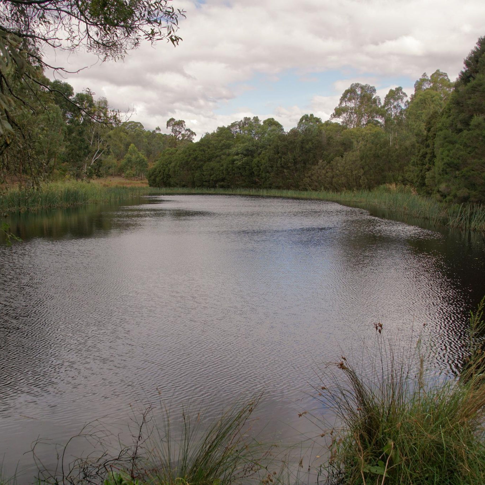
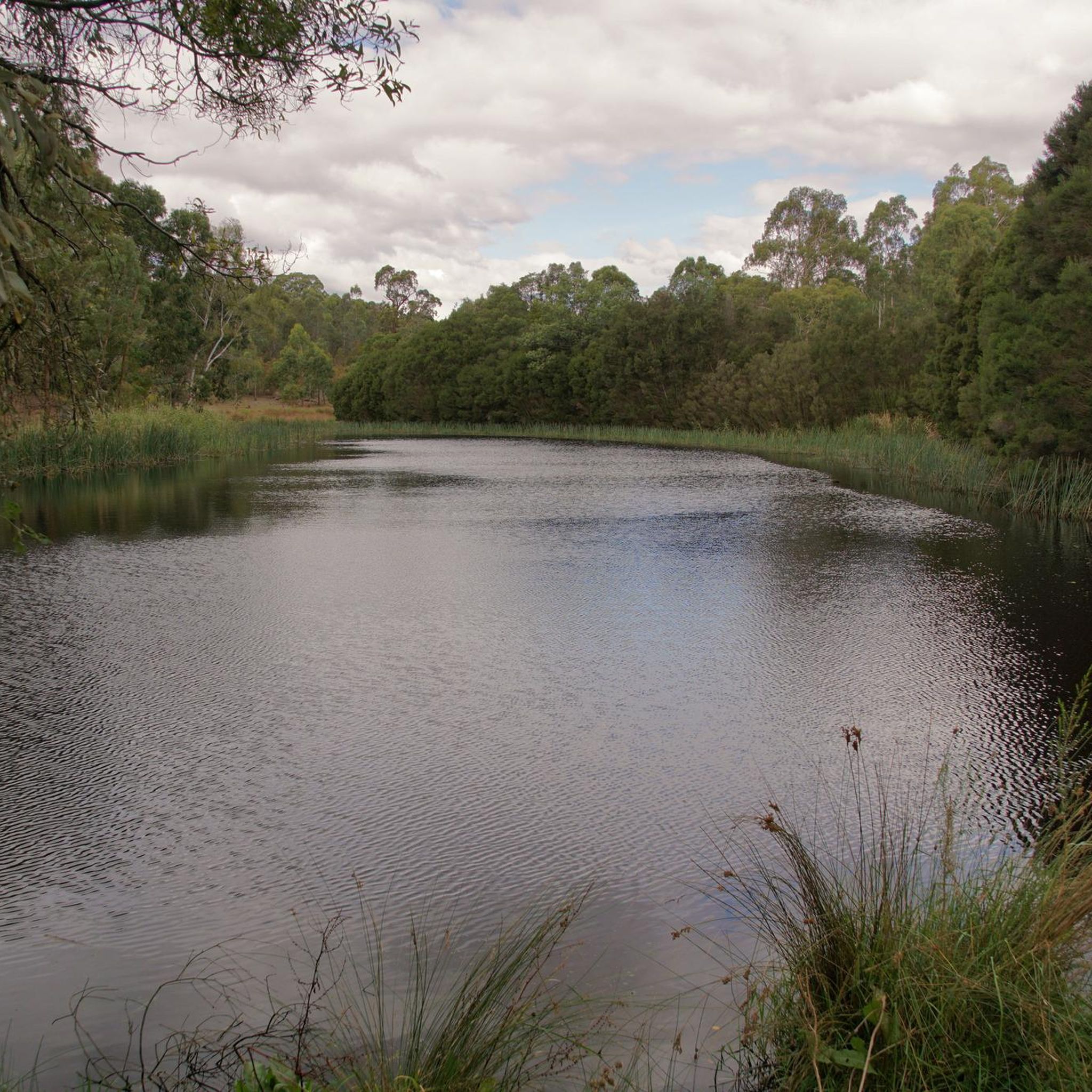
Mullum Mullum Creek is and adapted word from the Woiwurrung language of that Wurundjeri people, which means "place of many big birds". Today it winds its way through the city before reaching its confluence with the Yarra River. A shared use path parallels the creek for much of it run through Melbourne.
0
0
This shared use path follows the creek through quiet neighbourhoods and city parks as it makes its way between Sherbrook Park and Highland Avenue in Croydon. There are many access points along its route and interpretive signs provide information on Aboriginal cultures and native flora and fauna.
0
0

The best route I have used in that part of Melbourne. It can be very hilly in that area. Also avoiding the narrow road was great not to mention the great bush landscape
0
0
Frequently Asked Questions
How many running routes are available in Warrandyte State Park?
Warrandyte State Park offers a wide variety of running routes. You'll find nearly 60 different trails, catering to various fitness levels and preferences. Most of these, around 36, are considered moderate, while 21 are more challenging.
What kind of terrain can I expect on the jogging trails in Warrandyte State Park?
The park features diverse terrain, from stable asphalt and graded scenic paths along the Yarra River to rocky and pebbled sections. You'll encounter gum-forested alluvial flats, steep slopes with dry forest vegetation, and paths winding through the rugged Yarra River gorge. This variety provides a stimulating experience for runners.
Are there any easy or beginner-friendly running routes in Warrandyte State Park?
While many routes are moderate, areas like Pound Bend offer easier options. The Pound Bend River Walk is an easy 2.4km path, perfect for a relaxed jog. The Warrandyte River Trail, a flatter 3km path from Everard Drive to Warrandyte Bridge, is also ideal for low-impact training.
Where can I find routes with scenic views or viewpoints in Warrandyte State Park?
For spectacular panoramic views, consider a run up to Mount Lofty. The Yarra River – Mount Lofty Park loop from Neil Douglas Natural Features Reserve includes an ascent to the highest point in the park, offering vistas of the river, Yarra Valley, and the Dandenong-Yarra Ranges.
Are there any long-distance running routes for experienced runners?
Yes, for longer runs, you can explore routes like the Douglas Maggs Reserve – Mullum Mullum Creek Reserve loop from Warranwood, which is 21 km long and leads through varied bushland and river corridors. Another challenging option is the Mullum Mullum Park Boardwalk loop from Warranwood, spanning nearly 22 km.
What natural features or wildlife might I encounter while running in Warrandyte State Park?
Warrandyte State Park is rich in biodiversity. You might spot Eastern Grey Kangaroos, Swamp Wallabies, and Short-beaked Echidnas. The park is also home to over 120 bird species, including kingfishers and honeyeaters. The Yarra River itself is a central feature, with iconic Manna Gums lining its banks and colorful wildflowers in spring.
Are there any historical landmarks or points of interest along the running trails?
Yes, the park has a fascinating gold mining history. You can explore remnants of old diggings and mine shafts, particularly along the Fourth Hill Gold Heritage Circuit Walk. This adds a unique cultural dimension to your run.
Is Warrandyte State Park suitable for family-friendly jogging or walks?
Absolutely. Areas like Pound Bend are great for families, offering picnic spots and easy walks. The Pound Bend River Walk is an accessible option for families to enjoy the natural surroundings together.
What do other runners say about jogging in Warrandyte State Park?
The running routes in Warrandyte State Park are highly rated by the komoot community, with an average score of 5.0 stars. Runners often praise the varied terrain, scenic river views, and the immersive natural experience the park provides.
Are there any loop trails for running in Warrandyte State Park?
Many of the routes in Warrandyte State Park are designed as loops, offering a continuous running experience without retracing your steps. Examples include the Warrandyte River Reserve loop from Warrandyte State Park and the Yarra River – Mount Lofty Park loop from Neil Douglas Natural Features Reserve.
What is the best time of year to go running in Warrandyte State Park?
Warrandyte State Park is enjoyable year-round. Spring is particularly beautiful with vibrant wildflower displays. The varied landscape means you can find shaded trails in summer and enjoy crisp, clear runs in winter. Always check local weather conditions before heading out.
Where can I find parking for the running trails in Warrandyte State Park?
Parking is available at various access points within the park. Popular spots like Pound Bend and Jumping Creek Reserve offer dedicated picnic facilities and parking areas, making them convenient starting points for your run.
Can I reach Warrandyte State Park by public transport for a run?
While Warrandyte State Park is primarily accessed by car, some public transport options can get you close to the area. For detailed information on public transport routes and schedules, it's best to consult local transport services or visit the official Parks Victoria website for specific access points.
Most popular routes in Warrandyte State Park
Most popular attractions in Warrandyte State Park

Get inspired with the komoot mobile app


Explore more
Browse the best Running Trails & Routes in other regions.
